finding significant analytic events in collaborative visual
TRANSCRIPT

GeoJabber
Finding Significant Analytic Events in Collaborative Visual Analysis
Sessions
Frank HardistyGeoVISTA Center
Dutton e-Education Institute

OutlineOutline
•• Demo Demo •• BackgroundBackground•• Research ObjectivesResearch Objectives•• Methodology Methodology •• Conclusions Conclusions –– Future WorkFuture Work

DemoDemo

Demo – Dessert Before Dinner!

BackgroundBackground

Background• Scientific research using geospatial
data is usually carried out by teams.
• Software has often been a limiting factor in collaboration.
• We need to extend geovisual analysis software to enable geographic collaboration over the network

• Type of collaboration being investigated – Different place, same time collaboration – For example, people coordinating response to a flood or other emergency

Research ObjectivesResearch Objectives

Research ObjectivesResearch Objectives
• Communication • Typology• Persistence• User Analysis• Technology Choices

CommunicationCommunication
• Provide a communication channel inside geospatial visual analytics software, supporting synchronous contact, including message sharing and knowledge sharing.

TypologyTypology
• Provide a typology of what should be shared between collaborators.

PersistencePersistence
• Provide a means of making analysis sessions and analysis artifacts persistent and accessible.

User AnalysisUser Analysis
• Explore how user-entered text (chat) can serve as markers to find significant points in an analysis session.

Technology ChoicesTechnology Choices
• Understand how technology choices affect human-human collaboration when using geospatially enabled software.

MethodologyMethodology

MethodologyMethodology
• Communication • Typology• Persistence• User Analysis• Technology Choices

Communication Communication –– JabberJabber
• Jabber is an open Instant Messaging (IM) protocol, like closed protocols defined for AOL’s AIM, ICQ, Yahoo and Microsoft’s MSN Messenger. Google Chat uses Jabber.
• There are a number of free and open source client and server Jabber programs available.
• Jabber messages are based on XML, and so can be used to pass Java objects or geographic coordinates

Communication Communication –– JabberJabber
• Sample XML Jabber message from Juliet to Romeo
[email protected] [email protected]
capulet.com montague.net

Communication Communication –– JabberJabber
• Sample XML Jabber message from Juliet to Romeo
<message from='[email protected]' to='[email protected]' id='message22'>
<body>Wherefore art thou, Romeo?
</body></message>

Communication Communication –– GeoJabberGeoJabber
<message id="V2HVe‐5" to="hyangja"><body>extension</body><SpatialExtent xmlns="geoviz">
<width>902.049560546875</width><height>558.5320739746094</height><y>‐289.28460693359375</y><x>‐316.7908935546875</x>
</SpatialExtent></message>
Sample spatial extent message in GeoJabber
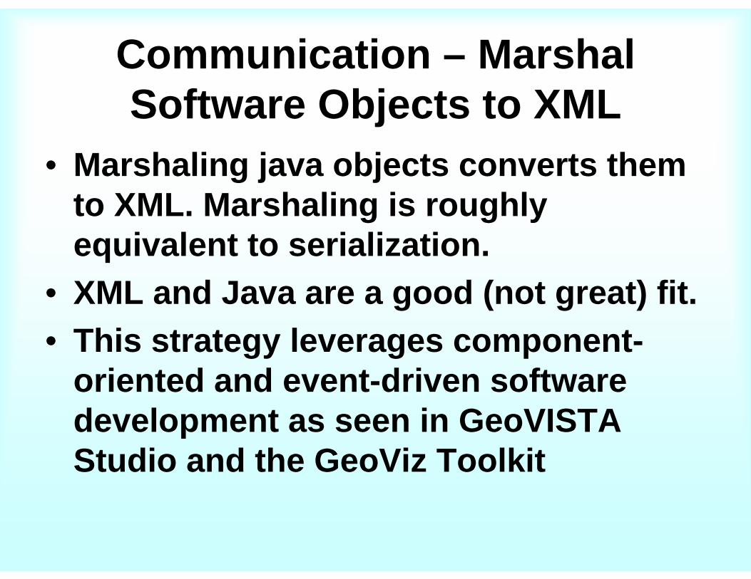
Communication – Marshal Software Objects to XML
• Marshaling java objects converts them to XML. Marshaling is roughly equivalent to serialization.
• XML and Java are a good (not great) fit.• This strategy leverages component-
oriented and event-driven software development as seen in GeoVISTA Studio and the GeoViz Toolkit
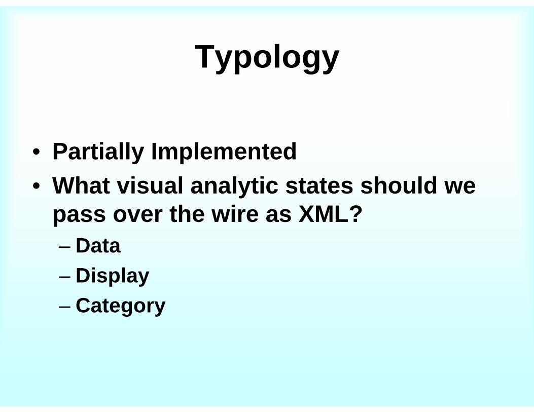
Typology
• Partially Implemented• What visual analytic states should we
pass over the wire as XML? – Data– Display– Category

Typology - Data• The units of
analysis– Spatial data– Temporal data– Numerical data– Textual Data– Derived data (via
calculation)
84496
14169
27299
018
1459
2167
1878
629
38146
81300
98712
84286
21102
013
100404
2354
138432
31237
1672
44450
SUM_PACIFISUM_MAORI

Typology - Display
• How data is represented visually– Static properties
• Color, location, size, • Typologies from MacEachren, Wilkenson,
Bertin, others– Dynamic properties– Other sensory properties

Typology - Category• Defining sets on data
– Classifying• Univariate
– Quantile– Equal Interval
• Multivariate– K-Means– SOM
– Extent• Attribute• Spatial• Temporal

Persistence• Partially Implemented• We can persist the program state, or artifacts
of the program state, such as visual representations, and textual annotations
• Since the program state is preserved as XML, we can think of many way it can be stored, used, and accessed– On local disk– On a remote site– In a database

User Analysis• Implementation begun, but not functional yet.• HCI (Human-Computer Interface) researchers
have focused on examining patterns in user behavior.
• One shortcoming of this work is determining where a significant event in the analysis took place (what does insight look like?)
• GeoJabber has the potential to help identify significant events in analytic sessions.

Technology Choices
• For Jabber -> OpenFire and Smack
• For marshaling -> XStream
The alternatives…

Technology ChoicesTechnology Choices
•• Alternative Implementation Options for Alternative Implementation Options for CollaborationCollaboration
•• SocketsSockets
•• JXTAJXTA
•• RMIRMI
•• JabberJabber
•• Alternative Options for MarshalingAlternative Options for Marshaling

Alternative Alternative –– SocketsSockets
• Sockets let you send raw streams of bytes back and forth between two computers, giving you low-level access to the TCP/IP or UDP protocols.
• Java Sockets are a mechanism for communication built into most versions of Java.

Alternative Alternative –– SocketsSockets
• Disadvantage – sockets are too low level, and therefore do not support the concept of objects.
Server ProgramPort 4321
Client Program
Client Program
Client Program
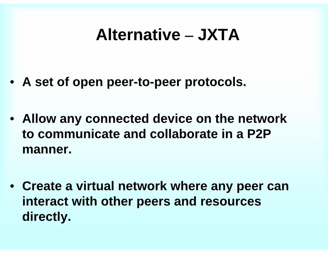
Alternative Alternative –– JXTAJXTA
• A set of open peer-to-peer protocols.
• Allow any connected device on the network to communicate and collaborate in a P2P manner.
• Create a virtual network where any peer can interact with other peers and resources directly.

Alternative Alternative –– JXTAJXTA• JXTA Network Overview

Alternative Alternative –– JXTAJXTA
• Disadvantage – complicated and unfamiliar. Did not work out of the box (at least for me). Because JXTA does not use TCP/IP or UDP, programmers need to learn an entirely new set of networking protocols to debug JXTA networking problems.

Alternative Alternative –– RMIRMI
• Remote Method Invocation (RMI)
• An object running in one Java Virtual Machine (VM) invokes methods on an object running in another Java VM.
• Remote communication between programs written in the Java programming language.

Alternative Alternative –– RMIRMI

Alternative Alternative –– RMIRMI
• We selected this solution for our first implementation for ease of use.
• RMI is part of the standard Java distribution

Alternative – RMI
• Disadvantages of RMI– Fragile against change. Versions must be
kept tightly in synch. If one client updates and another does not, the application will fail.
– For peer-to-peer applications, each node must be a client and a server, increasing developmental effort.

Alternative Jabber Implementations
• Tigase – Java. Easier to extend, but harder to get started.
• eJabberd – Written in Erlang. High concurrency.
• Many more• Cisco bought Jabber, inc. for no reason
I can tell.

Alternatives to XStream Alternatives to XStream •• JAXBJAXB
•• XMLBeansXMLBeans
•• Many othersMany others……..
Conclusions Conclusions –– Future WorkFuture Work

Conclusions – Future Work
• Conclusions• Future research• Acknowledgements

ConclusionsConclusions
• GeoJabber provides a working method for allowing synchronous collaboration in Visual Analytics.
• GeoJabber is extensible, both in what types of analytic operations are supported, and what is done with the analysis artifacts.
• Much work to be done….

Future ResearchFuture Research
• Support more types in my typology.
• Integrate with annotation facilities.
• Provide search over previous sessions.
• Publish to G-EX portal
• Publish to Penn State Annotations DB
• In the misty future, provide interoperation with ArcGIS, Open Layers, etc…

AcknowledgementsAcknowledgements
The GeoVISTA Center
NEVAC (North-East Visualization & Analytics Center)
However, any opinions, findings, and conclusions or recommendations in this document are those of the authors and do not necessarilyreflect views of the U.S. Department of Homeland Security.
Workshop Organizers