enterprise gis benchmark update presented by david james, business technology services egis...
TRANSCRIPT

Enterprise GIS Benchmark UpdatePresented by David James, Business Technology ServicesEGIS Committee Meeting7th July 2011
Enterprise GIS Steering Committee

EGIS Committee 2
Overview
Objectives Assess the viability of ESRI’s GIS for
Local Government to support streamlined Enterprise Data Maintenance Organizational Objectives Technology Objectives Financial Objectives
Key Deliverable EGIS Strategic Plan
July 7th, 2011

EGIS Committee 3
Organizational Objectives Establish Enterprise GIS
Services Bureau Train Bureau staff in the use of
ESRI’s GIS for Local Gov solution
Migrate County data into vendor supported Data Model
Implement vendor supported data maintenance workflows
July 7th, 2011

EGIS Committee 4
Technology Objectives
Implement Stand-Alone EGIS Benchmark Environment (desktop, web and mobile)
Leverage standard ESRI Local Gov configuration for Data Maintenance Zero Customization Zero 3rd Party Tools
Leverage ESRI Template Maps & Apps Quick Deployment of vendor
supported applications desktop, web and mobile
July 7th, 2011
EGIS Committee 5
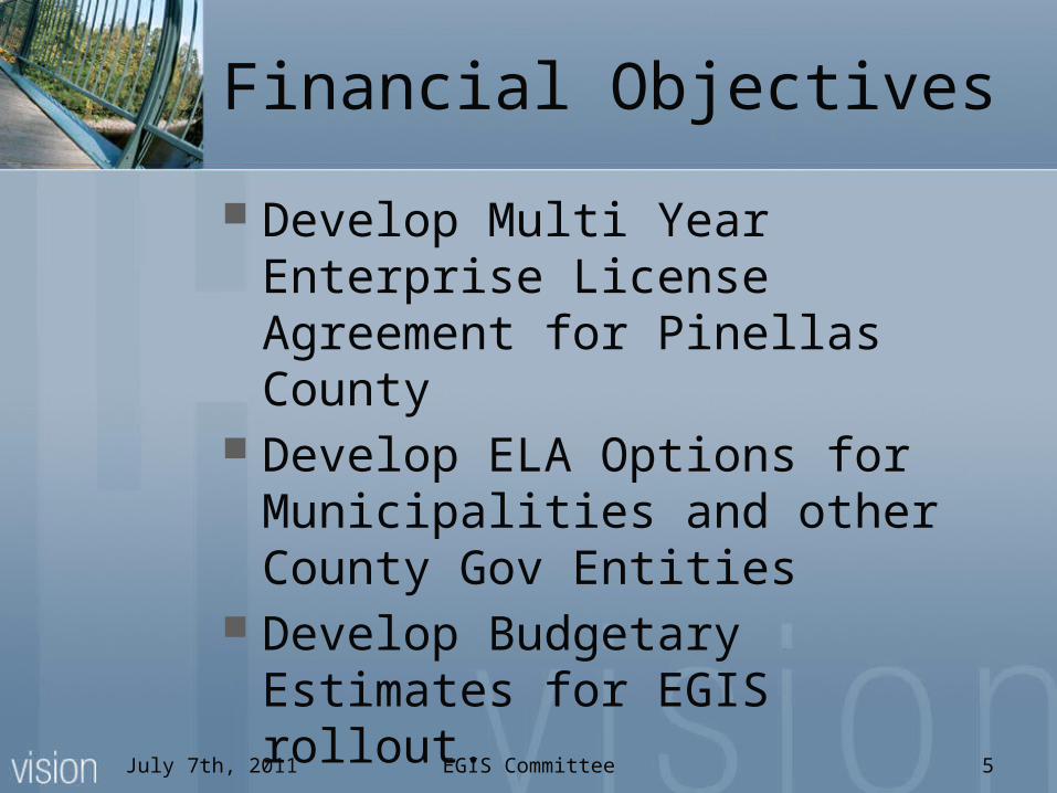
Financial Objectives
Develop Multi Year Enterprise License Agreement for Pinellas County
Develop ELA Options for Municipalities and other County Gov Entities
Develop Budgetary Estimates for EGIS rollout.
July 7th, 2011

EGIS Committee 6
Benchmark Costs
July 7th, 2011
Description CostESRI Technical Support
Software Installation and Configuration $0Data Migration $0Benchmark Support $0
Pinellas County Staff Training Bureau Staff $13,000Technical Staff $13,000Arc GIS Jump Start (Optional) $8,000
ESRI Software (Evaluation License - Non Production) $03rd Party Software $0Hardware $0Pinellas County Staff (Property Appraiser/BTS) $0
Estimated Cost NTE:$35,000

EGIS Committee 7
Provisional Schedule
July 7th, 2011

Enterprise License Agreement UpdatePresented by David James, Business Technology ServicesEGIS Committee Meeting7th July 2011
Enterprise GIS Steering Committee

EGIS Committee 9
Enterprise License Agreement
Objectives Leverage economy of scale for all County
GIS Stakeholders Establish well defined authorized user
terms Establish a well defined long term support
agreement Establish licensing terms that include
virtualized and redundant technical architectures
Establish licensing options for municipalities and other County Government entitiesJuly 7th, 2011

EGIS Committee 10
Provisional ELA Licenses
July 7th, 2011
ArcGIS Server 10 Advanced Enterprise ArcGIS Spatial AnalystArcInfo ArcGIS Tracking Analyst
ArcEditorBusiness Analyst Online Reports Add-In
ArcView ArcGIS Data ReviewerArcGIS 3D Analyst ArcGIS PublisherArcGIS Geostatistical Analyst
ArcGIS Workflow Manager
ArcGIS Network Analyst Maplex for ArcGISArcGIS Schematics

Pinellas Aerial Image Retrieval System (PAIRS) Replacement Request ReviewPresented by David James, Business Technology ServicesEGIS Committee Meeting7th July 2011
Enterprise GIS Steering Committee

EGIS Committee 12
EGIS Request Review Process
July 7th, 2011
RequestClassification
RequestInitiation
RequestJustification(optional)
RequestDetermination
RequestExecution
Request received by BTSAnd assigned a tracking number BTS develops initial work and
cost estimates (ROM)
Business Case developed by requestor, if required
EGIS Committee reviews, approves or rejects request. AS part of the approval the Committee would determine the priority of the request. The Committee would also facilitate funding. BTS initiates and executes
the required work.
1 2 3 4 5

EGIS Committee 13
PAIRS Replacement
Overview Pinellas Aerial Image Retrieval System -
PAIRS Legacy public facing web based aerial
imagery download service Legacy technology is not supported by
BTS Replacement strategy:
Leverage standard ESRI technology capabilities New service will be compliant with BTS web
service architecture Will enable aerial image storage to be
consolidated Will be scalable designed to evolve over timeJuly 7th, 2011

Public Works GIS Data Sharing Request
Presented by Larry Solien, Department of Environment & InfrastructureEGIS Committee Meeting7th July 2011
Enterprise GIS Steering Committee