
Finding Locations on Earth 3.1
Section 1 Finding Locations on Earth
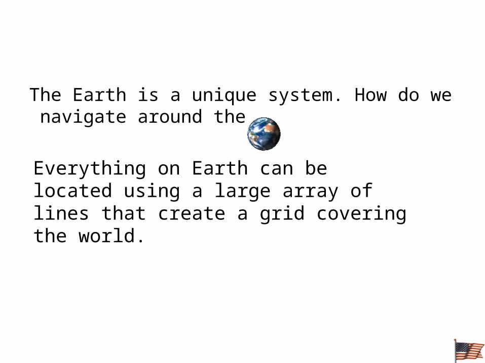
The Earth is a unique system. How do we navigate around the
Everything on Earth can be located using a large array of lines that create a grid covering the world.

Latitude and Longitude
• The earth is divided into lots of lines called latitude and longitude.
Section 1 Finding Locations on Earth

Lines
• Longitude lines run north and south.
• Latitude lines run east and west. • The lines measure distances in
degrees.
Longitude
Latitude
Section 1 Finding Locations on Earth

Latitude- (rungs of a ladder)– Halfway between the poles, a circle called the
equator divides Earth into the North and Southern Hemispheres.
Minutes and Seconds
• Each degree of latitude consists of 60 equal parts, called minutes. One minute (symbol: ‘) of latitude equals 1.85 km.
• In turn, each minute is divided into 60 equal parts, called seconds (symbol: “).
Section 1 Finding Locations on Earth

ParallelsChapter 3
Section 1 Finding Locations on Earth

Where is 0 degree?
• The equator is 0 degree latitude.
• It is an imaginary belt that runs halfway point between the North Pole and the South Pole.
Equator
Section 1 Finding Locations on Earth

Longitude (“long” lines)• meridian any semicircle that runs north
and south around Earth from the geographic North Pole to the geographic South Pole; a line of longitude
• longitude the angular distance east or west from the prime meridian; expressed in degrees
Section 1 Finding Locations on Earth

MeridiansChapter 3
Section 1 Finding Locations on Earth

Where is 0 degree?
• The prime meridian is 0 degrees longitude. This imaginary line runs through the United Kingdom, France, Spain, western Africa, and Antarctica.
P
R
I
M
E
MERIDIAN
Section 1 Finding Locations on Earth

Great Circle – Any circle that divides the globe into halves,
or marks the circumference of the globe– The great-circle distance is the shortest
distance between any two points on the surface of a sphere (airline routes)

Great CirclesChapter 3
Section 1 Finding Locations on Earth
Section 1 Finding Locations on EarthChapter 3
Great Circles, continuedReading Check
Why is the equator the only parallel that is a great circle?

Section 1 Finding Locations on Earth

Section 1 Finding Locations on EarthChapter 3
Finding Direction• One way to find direction on Earth is to use a
magnetic compass.
• The areas on Earth’s surface just above where the poles of the imaginary magnet would be are called the geomagnetic poles.
• The geomagnetic poles and the geographic poles are located in different places.

Section 1 Finding Locations on EarthChapter 3
Finding Direction, continuedThe diagram below shows the magnetic
declination of the United States. (digital compasses

Mapping Earths Surface
• A map is a flat representation of Earth’s curved surface.
• A map is any concrete or abstract representation of the features that occur on or near the surface of the earth or other celestial bodies
• Cartography is the art, science, and technology of making maps, together with their study as scientific documents and works of art
Chapter 3 Section 2

Section 2 Mapping Earth’s SurfaceChapter 3
Reading a MapDirection on a Map• Many maps also include a compass rose
or arrow.
• The cardinal directions are north, south, east, and west.
• The intermediate directions are northeast, southeast, southwest and northwest.
Orientation
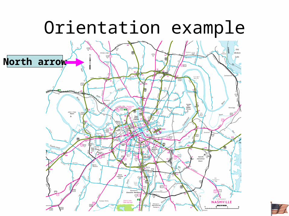
Orientation example
North arrow

Symbols• Symbols are commonly used on maps to
represent features such as cities, highways, rivers, and other points of interest.
• Symbols may resemble the features that they represent, or they may be more abstract.
• Symbols are commonly explained in a legend.
• legend a list of map symbols and their meanings
Section 2 Mapping Earth’s SurfaceChapter 3
Map Scales
• scale the relationship between the distance shown on a map and the actual distance
• Scales can be…– Graphic scale: – Representative fraction: – Word statement:
Section 2 Mapping Earth’s SurfaceChapter 3

Map Scales
• Ratio of the distance on the map to the distance on the ground
1. Graphic:
• Stays the same when photocopied
• Might not be right for the whole map
Section 2 Mapping Earth’s SurfaceChapter 3

Map Scales
2. Representative fraction or ratio:
1:24,000
• Units don’t matter
• Can change if photocopied
Section 2 Mapping Earth’s SurfaceChapter 3
Map Scales
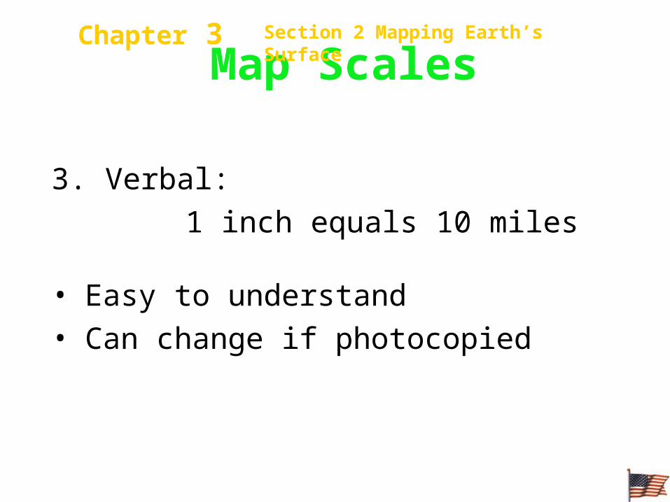
3. Verbal:
1 inch equals 10 miles
• Easy to understand
• Can change if photocopied
Section 2 Mapping Earth’s SurfaceChapter 3

Scale example
scale

Section 3Types of Maps

Map Categories
• 1.) Topographic Maps (we will only cover)
• 2.) Geologic Maps (Page 66)
• 3.) Soil Maps (Page 67)

Section 3 Types of MapsChapter 3
Elevation on Topographic Maps• All points on a contour line have the same
elevation.• Contour lines separate points of higher
elevation from points of lower elevation.• Contours never cross.• Steep slopes have closely spaced contour
lines, gentle slopes have widely spaced contour lines.

Topographic Map
20 ft contour
700 ft contour
Steep slope
Gentle slope

Section 3 Types of MapsChapter 3
Landforms on Topographic Maps• Contour lines that converge represent a vertical
cliff.• Uniformly spaced lines represents a uniform
slope. • A series of closed contours represents a hilltop
unless they are hachured inward, which would indicate a depression.
• Hachured lines represents a closed depression. • Contour lines that curves in a v shape is pointing
upstream.
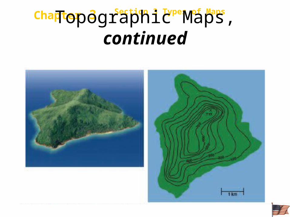
Section 3 Types of MapsChapter 3Topographic Maps, continued
The diagram below shows how topographic maps represent landforms.

Section 3 Types of MapsChapter 3Topographic Maps, continued
The diagram below shows how topographic maps represent landforms.

Section 3 Types of MapsChapter 3
Topographic Map Symbols
• Symbols are used to show certain features on topographic maps.
• Symbol color indicates the type of feature.– Black - Man made features– Red – Major highways, – Blue – Water features– Green – Vegetation– Brown – Contour lines, spot elevation

Contour interval
100 feet


