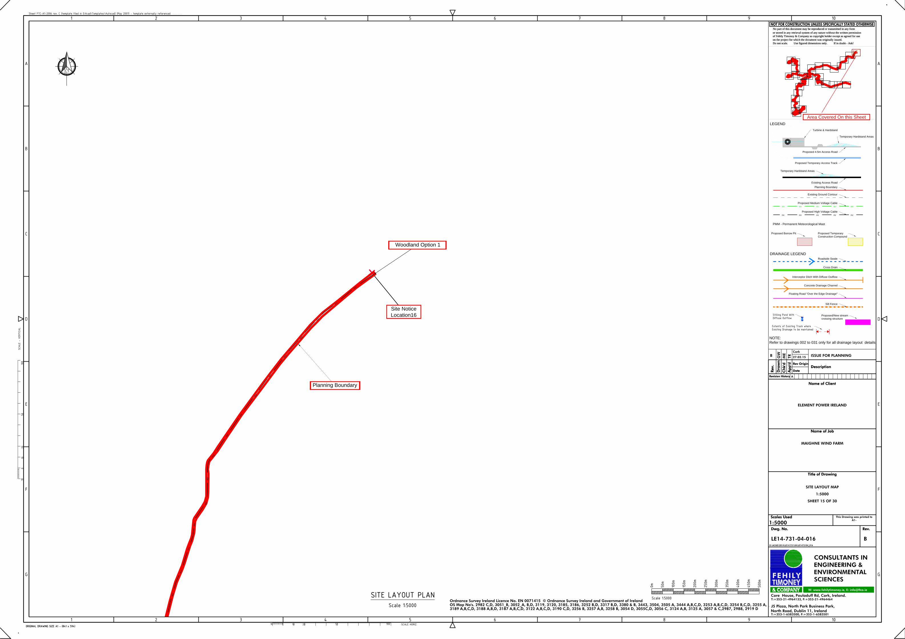
Planning BoundaryPlanning Boundary
Site Notice
Location 16
Site Notice
Location16
Woodland Option 1Woodland Option 1
HV
HV
HV
HV
HV
HVHV
HV
HV
HV
HV
HV
HV
HV
HV
HV
HV
ORIGINAL DRAWING SIZE A1 - (841 x 594)
G
F
E
D
C
B
A
Sheet FTC-A1-2006 rev. C (template filed in O:Acad\Templates\Autocad) (May 2007) - template externally referenced
G
F
E
D
C
B
A
1 2 3 4 5 6 7 8 9 10
1 2 3 4 5 6 7 8 9 10
Rev
.
Ap
p'd
Dra
wn
Ch
k'd
Description
Name of Client
Name of Job
Title of Drawing
Scales Used
Dwg. No. Rev.
Use figured dimensions only.on the project for which the document was originally issued.of Fehily Timoney & Company as copyright holder except as agreed for useor stored in any retrieval system of any nature without the written permissionNo part of this document may be reproduced or transmitted in any form
Do not scale. If in doubt - Ask!
Revision History
CONSULTANTS INENGINEERING &ENVIRONMENTALSCIENCES
Date
Rev Origin
(Gemma White)
W: www.fehilytimoney.ie, E: [email protected]
T:+353-21-4964133, F:+353-21-4964464Core House, Pouladuff Rd, Cork, Ireland.
T:+353-1-6583500, F:+353-1-6583501
J5 Plaza, North Park Business Park,North Road, Dublin 11, Ireland
This Drawing was printed toA1-
SITE LAYOUT PLANScale 1:5000
0m 50m
100m
150m
200m
250m
300m
350m
400m
450m
500m
Scale 1:5000
ORIGINAL DRAWING SIZE A1 - (841 x 594) SCALE HORIZ.10020 5010010
Rev
.
Ap
p'd
Dra
wn
Ch
k'd
Description
Name of Client
Name of Job
Title of Drawing
Scales Used
Dwg. No. Rev.
Use figured dimensions only. on the project for which the document was originally issued.of Fehily Timoney & Company as copyright holder except as agreed for useor stored in any retrieval system of any nature without the written permissionNo part of this document may be reproduced or transmitted in any form
Do not scale. If in doubt - Ask!
1010
020
50SC
ALE
- VE
RTICAL
100
Revision History
Date
Rev Origin
ELEMENT POWER IRELAND
MAIGHNE WIND FARM
SITE LAYOUT MAP
1:5000
SHEET 15 OF 30
LE14-731-04-016O:\ACAD\2014\LE14\731\04\LE1473104_016
1:5000
Ordnance Survey Ireland Licence No. EN 0071415 © Ordnance Survey Ireland and Government of IrelandOS Map No's. 2982 C,D, 3051_B, 3052_A, B,D, 3119, 3120, 3185, 3186, 3252 B,D, 3317 B,D, 3380 & B, 3443, 3504, 3505 A, 3444 A,B,C,D, 3253 A,B,C,D, 3254 B,C,D, 3255 A,
B
A
3189 A,B,C,D, 3188 A,B,D, 3187 A,B,C,D, 3122 A,B,C,D, 3190 C,D, 3256 B, 3257 A,B, 3258 B, 3054 D, 3055C,D, 3056 C, 3124 A,B, 3125 A, 3057 & C,2987, 2988, 2919 D
CorkB G
WM
ETR 27.02.15 ISSUE FOR PLANNING
Turbine & Hardstand
Proposed 4.5m Access Road
Existing Ground Contour
MV MV MV MV MV
Proposed Medium Voltage Cable
HV HV HV HV HV
Proposed High Voltage Cable
Planning Boundary
LEGEND
DRAINAGE LEGEND
Roadside Swale
Cross Drain
Interceptor Ditch With Diffuse Outflow
Stilling Pond WithDiffuse Outflow
Extents of Existing Track whereExisting Drainage to be maintained
Proposed/New stream
crossing structure
NOTE:
Refer to drawings 002 to 031 only for all drainage layout details
Floating Road "Over the Edge Drainage"
SF SF SF SF SF SF SF SF SF SF SF SF SF SF SF SF SF SF SF SF SF SF
Silt Fence
Temporary Hardstand Areas
Existing Access Road
PMM - Permanent Meteorological Mast
Proposed Temporary Access Track
Temporary Hardstand Areas
Concrete Drainage Channel
Proposed Borrow Pit Proposed Temporary
Construction Compound
Area Covered On this Sheet
15
Area Covered On this Sheet


