discorsi galilei interdisciplinary consortium - · pdf filediscorsi galilei interdisciplinary...
TRANSCRIPT

DiscorsiDiscorsi GalileiGalileiInterdisciplinary ConsortiumInterdisciplinary Consortium
Janusz B. Janusz B. ZieliZielińńskiski
PresentationPresentation for for thetheGalileo in FP7
International Information Day for the 1st call & Brokerage Event 19-20 November 2007Darmstadt, Germany

DiscorsiDiscorsi GalileiGalilei
established established the Interdisciplinary Consortiumthe Interdisciplinary Consortium
The Consortium is ready to cooperate with other institutions and groups from Europe to prepare applications for the 7-th FP or for
other programs related to Galileo.
for consolidation of resources and undertaking of joinfor consolidation of resources and undertaking of joint t projects in the domain of the development andprojects in the domain of the development and applicaapplica--tiontion of the European satellite navigation system Galileo.of the European satellite navigation system Galileo.
Polish NavalAcademyGdynia
University of Warmia and Mazury
Olsztyn
Institute of Telecommunication
Warsaw
Polish Air ForceAcademy
Deblin
POLSPACE Ltd.Warsaw
Warsaw Universityof Technology
Warsaw
Space ResearchCentre PAS
Warsaw

DiscorsiDiscorsi GalileiGalilei membersmembers::
►► Space Research Centre Space Research Centre ,,Polish Academy of Polish Academy of ScienceScience, , WarsawWarsaw
►► NationalNational Institute of TelecommunicationInstitute of Telecommunication,,WarsawWarsaw►► Warsaw University of TeWarsaw University of Techchnologynology►► University of University of WarmiaWarmia and and MazuryMazury, , OlsztynOlsztyn►► Polish Naval AcademyPolish Naval Academy, , GdyniaGdynia►► Polish Air Force AcademyPolish Air Force Academy, , DDęęblinblin►► POLSPACE Ltd.POLSPACE Ltd.,,WarsawWarsaw

► The famous work Discorsi e Dimostrazioni Matematiche, intorno a due nuove scienze by Galileo Galilei became the foundation of the today’s modern science and technology. The name Discorsi Galilei was chosen by our Consortium in order to stress the links to the Galilean thinking and to demonstrate its respect to the forefather of the modern European satellite navigation system.

SpaceSpace ResearchResearch CentreCentre ofof thethe PolishPolishAcademyAcademy ofof SciencesSciences
CoordinatorCoordinator ofof thethe ConsortiumConsortium
► SRC is conducting pure and applied studies based on spaceexperiments in the field of space physics and Solar System research, and physical and geodesic studies of planets andthe Earth. SRC is the only institution in Poland whoseactivity is fully devoted to space research and itsapplications in geosciences and technology.
► The scientific staff consists of 25 senior scientists (14 professors and 11 associated professors) and 21 researchers with a doctor degree, They are supported by 47 specialists (physicists, astronomers, geodesists etc.) and technical staff.

SRC develops and manufactures space-qualified hardware. For the last 12 years thespace instruments made in the institutevisited or are going to visit the Earth’s orbit and deeper space in the frame of satelliteprojects and missions: APEX, CORONAS I, Interball–2, CASSINI/HUYGENS, PRIRODA/MIR, CLUSTERS, CORONAS-F, INTEGRAL, ROSETTA, MARS EXPRESS andothers.
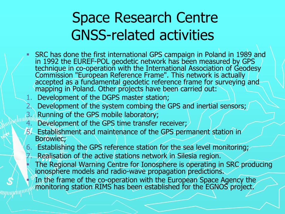
Space Research Centre GNSS-related activities
SRC has done the first international GPS campaign in Poland in 1989 andin 1992 the EUREF-POL geodetic network has been measured by GPS technique in co-operation with the International Association of GeodesyCommission "European Reference Frame". This network is actuallyaccepted as a fundamental geodetic reference frame for surveying andmapping in Poland. Other projects have been carried out:
1. Development of the DGPS master station;2. Development of the system combing the GPS and inertial sensors;3. Running of the GPS mobile laboratory;4. Development of the GPS time transfer receiver;5. Establishment and maintenance of the GPS permanent station in
Borowiec;6. Establishing the GPS reference station for the sea level monitoring;7. Realisation of the active stations network in Silesia region.
The Regional Warning Centre for Ionosphere is operating in SRC producingionosphere models and radio-wave propagation predictions.In the frame of the co-operation with the European Space Agency themonitoring station RIMS has been established for the EGNOS project.

Astro-GeodynamicalObservatory atBorowiec
Department ofPlanetary Geodesy
Gravity and tidesObservatory Książ
ESEAS stationWładysławowo
ZGP

EGNOS RIMS station in WarsawEGNOS RIMS station in Warsaw( O( Officialfficial opening: 27 September 2004opening: 27 September 2004 ))
Range of RIMS Warsaw
Warsaw RIMS station – RIMS_WRS:one of 34 stations (the only in Central Europe)channels: A, B
RIMS_WRS Indoor equipment setup
Antenna A

POLISH NATIONAL TIME SCALE

WarsawWarsaw UniversityUniversity ofof TechnologyTechnology
►► WUT WUT isis a a researchresearch intenseintense, , doctoraldoctoral levellevel academicacademicinstitutioninstitution focusedfocused on on undergraduateundergraduate andand graduategraduateprogramsprograms almostalmost exclusivelyexclusively inin engineeringengineering andandappliedapplied sciencessciences.. WithWith overover thirtythirty thousandthousandstudentsstudents servedserved by by overover twotwo thousandthousand professorsprofessorsandand instructorsinstructors inin 17 17 DepartmentsDepartments, , thethe WarsawWarsawUniversityUniversity ofof TechnologyTechnology isis thethe largestlargest andand thethehighesthighest ranking ranking engineeringengineering universityuniversity inin PolandPoland. .

WUT WUT DepartmentsDepartments involvedinvolved inin Galileo Galileo activityactivity
►►FacultyFaculty ofof GeodesyGeodesy andand CartographyCartography►►FacultyFaculty ofof TransportTransport►►FacultyFaculty ofof Power Power andand AeronauticalAeronautical
EngineeringEngineering►►FacultyFaculty ofof ElectronicsElectronics andand InformationInformation
TechnologyTechnology►►FacultyFaculty ofof PhysicsPhysics

NationalNational InstituteInstitute ofof TelecommunicationTelecommunication
►► ItIt isis a modern a modern researchresearch & & developmentdevelopment institutioninstitutionemployingemploying overover 300 300 scientistsscientists andand expertsexperts withwithhigh high competencescompetences inin thethe field field ofof telecommutelecommu--nicationsnications andand informationinformation technologytechnology. . ResponsibleResponsiblefor GNSS for GNSS isis Radio Communications Departmentwhichwhich alsoalso conductsconducts workwork on on systemssystems, , networksnetworksandand devicesdevices inin thethe fieldsfields: mobile land radio : mobile land radio communicationscommunications, radio , radio broadcastingbroadcasting, , satellitesatellite radio radio communicationscommunications, , televisiontelevision andand design design ofof devicesdevicesfor for suchsuch systemssystems..

UniversityUniversity ofof Warmia & MazuryWarmia & Mazury
►► TheThe UniversityUniversity ofof Warmia Warmia andand Mazury Mazury inin Olsztyn was Olsztyn was establishedestablished on on SeptemberSeptember 1, 1999. 1, 1999. TheThe UniversityUniversitycombinescombines a 50a 50--year year traditiontradition ofof thethe UniversityUniversity ofofAgricultureAgriculture andand TechnologyTechnology, a 30, a 30--year year traditiontradition ofof thetheHigherHigher TeacherTeacher EducationEducation SchoolSchool andand a 450a 450--year year traditiontraditionofof theologicaltheological educationeducation inin Warmia.Warmia.TheThe UniversityUniversity employsemploys ca. 3000 ca. 3000 personspersons, , includingincluding 217 217 fullfullprofessorprofessor andand 250 250 –– associatedassociated professorsprofessors. 14 . 14 facultiesfacultiesprovideprovide educationeducation to to overover 40 000 40 000 studentsstudents. . TheThe ChairChair ofofSatelliteSatellite GeodesyGeodesy andand NavigationNavigation inin thethe Faculty of Geodesyand Land Management isis responsibleresponsible for GNSS for GNSS researchresearchandand applicationapplication..

System System ofof CivilCivil andand EnvironmentalEnvironmental Protection Protection on on GreatGreat MasurianMasurian LakesLakes
DevelopedDeveloped waterwater emergencyemergency servicesservices withwith emergency emergency GSM GSM numbernumber +48 601 100 100+48 601 100 100

PolishPolish NavalNaval AcademyAcademyInstituteInstitute ofof NavigationNavigation andand MarineMarine
HydrographyHydrography►► optimizationoptimization ofof navigationalnavigational equipmentequipment ofof PolishPolish maritimemaritime
areas areas ►► developmentdevelopment ofof newnew proceduresprocedures for for maneuvermaneuver control control ►► automationautomation ofof shipship navigationnavigation process process ►► automationautomation ofof proceduresprocedures for for thethe hydrographichydrographic work work ►► proceduresprocedures for for thethe identificationidentification ofof shapeshape ofof seabedseabed, , typestypes
ofof groundground andand navigationalnavigational obstacles obstacles ►► requirementsrequirements, , standardsstandards for for hydrographichydrographic surveysurvey, ,
equipmentequipment andand systems systems ►► seabedseabed explorationexploration andand workwork atat sea sea ►► automationautomation ofof surveyingsurveying processes processes ►► requirementsrequirements for for thethe hydrometerologicalhydrometerological covercover for for thethe navy navy

Gdynia Test Area
Limited range
of DGPS/RTK transmission via UHF
Reference Stations
Measured Control Points
City Border
LEGEND

AirAir ForceForce AcademyAcademy inin DeblinDeblin
Antenna GPS
Example of jet plane trajectory and location of ground GPS reference stations

PolspacePolspace LtdLtd..
►►Commercial consulting company specialized Commercial consulting company specialized in space technology related projects. in space technology related projects. Cooperates with ESA, Polish Space Cooperates with ESA, Polish Space Technology Platform, Polish aerospace Technology Platform, Polish aerospace industryindustry
►►Links Links to to industryindustry, , over over 30 30 commercial commercial companiescompanies

Projects submitted to the ESA/PECS Projects submitted to the ESA/PECS programprogram
►► EGNOS EGNOS –– EUPOS integrationEUPOS integration►► Improvement of small UAV objects localization Improvement of small UAV objects localization
with the implementation of EGNOSS systemwith the implementation of EGNOSS system►► Research for improving road safety with EGNOS Research for improving road safety with EGNOS
system system ►► The formal model of valuation of availability of The formal model of valuation of availability of
EGNOS measurements with defined level of EGNOS measurements with defined level of accuracyaccuracy
►► Development of local approach system based on Development of local approach system based on EGNOS systemEGNOS system

DiscorsiDiscorsi Galilei Galilei derives itsderives its excellenceexcellence fromfrom thethesynergysynergy ofof thethe expertiseexpertise ofof itsits
membersmembers

Thank you for your attentionThank you for your attention
Web Web sitesite: : http://www2.cbk.waw.plhttp://www2.cbk.waw.pl