designing maps gtech201 lecture 19. yet another definition “a graphic depiction of all or part of...
Post on 20-Dec-2015
213 views
TRANSCRIPT
Designing Maps
GTECH201Lecture 19
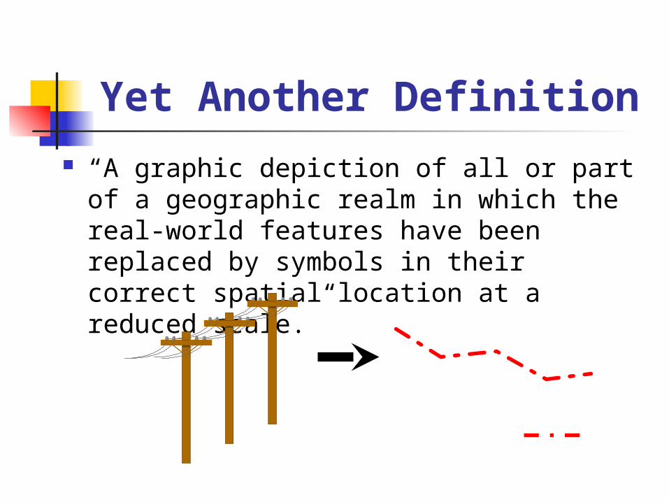
Yet Another Definition “A graphic depiction of all or part of a
geographic realm in which the real-world features have been replaced by symbols in their correct spatial location at a reduced scale.”

Cartographic Design Principles
Audience and purpose
Size, scale, and media
Visual balance
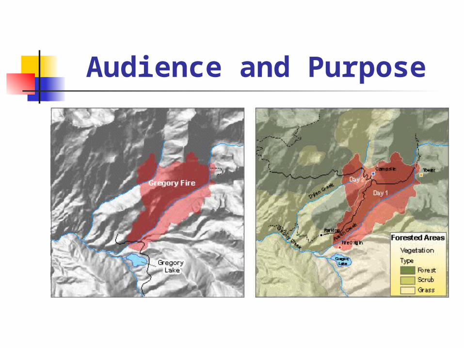
Audience and Purpose

Size, Scale and Media

Visual Balance

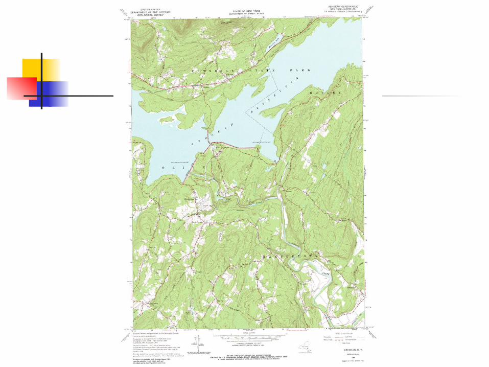
Elements of a Map
Map body Legend Title Scale North arrow (inset map)


Other Elements of a Map
Source of data Map projection Author Date Neatline Graphs, tables, images, informative
text ..leading towards a poster

Who Made It?
What is its name?
Legend
Where is it located (inset)?
Where is north
What is the scale/
How accurate is it and where can you get it?
•Credits.•How was it made.•Projection and Datum.
•Other metadata
UTM??
Coordinates in DD
Border
Neatline?

Map Templates
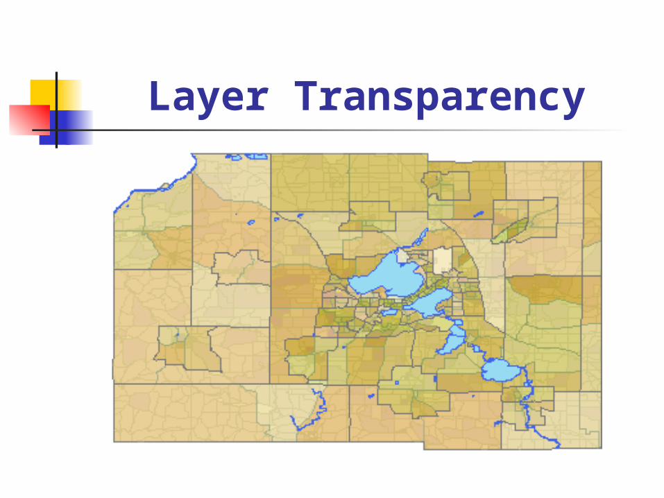
Layer Transparency

Labels and Annotation
..more later today
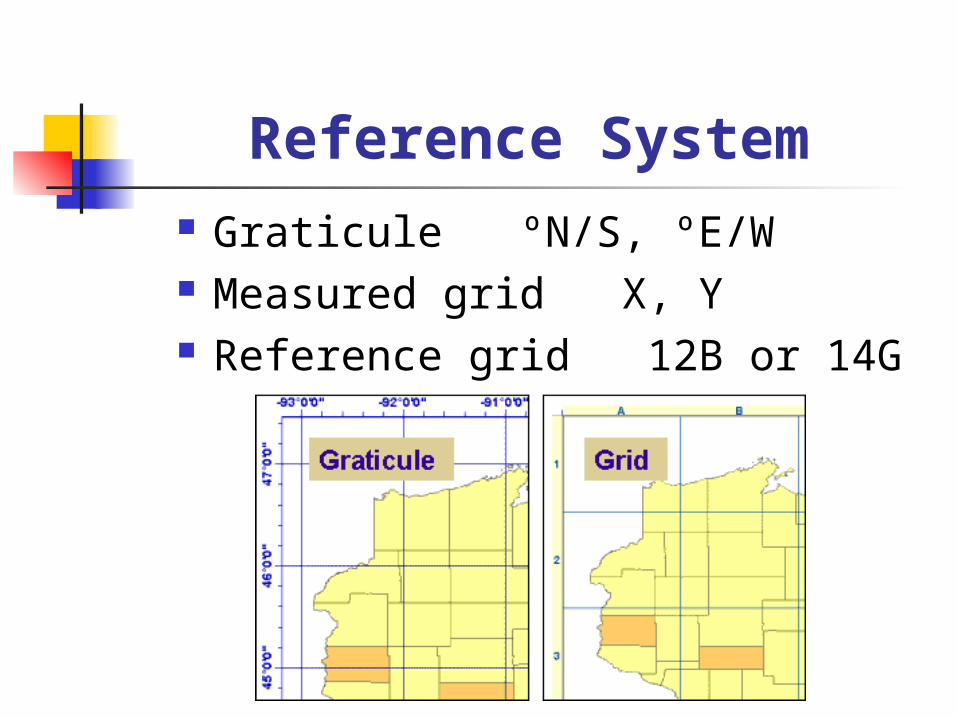
Reference System Graticule ºN/S, ºE/W Measured grid X, Y Reference grid 12B or 14G

Map Layout Templates again
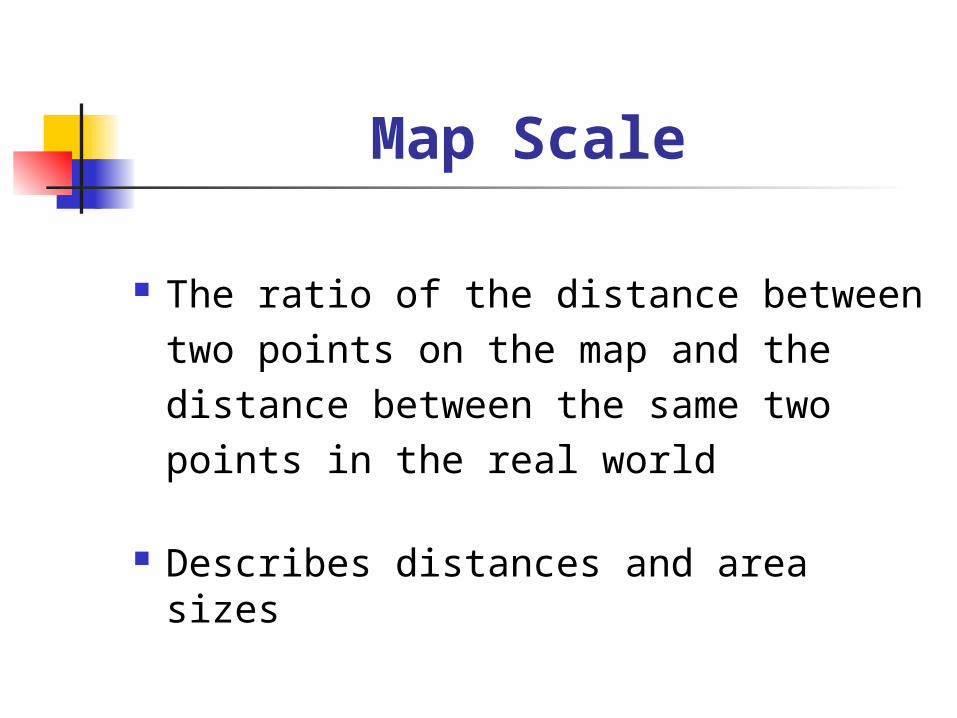
Map Scale
The ratio of the distance between two points on the map and the distance between the same two points in the real world
Describes distances and area sizes

Why Do We Care About Scale
To compare or edge-match maps, they must be in the same GCS
Remember, a GCS consists of: A metric An origin A projection A datum

Types of Scale
Graphical
Phrase (word(y) statement)
Representative fraction
Special cases
Variable scale
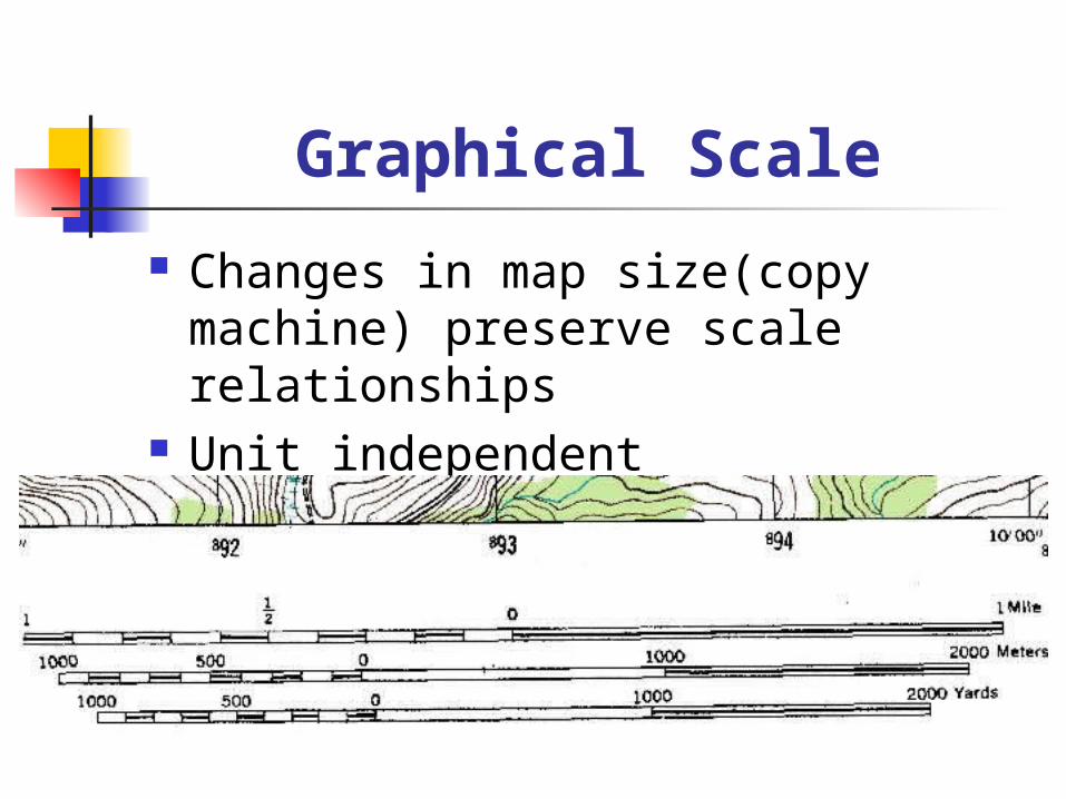
Graphical Scale
Changes in map size(copy machine) preserve scale relationships
Unit independent

Verbal Scale
Does not preserve scale with size change
Unit-dependant
One inch equals one mile One to a a mile
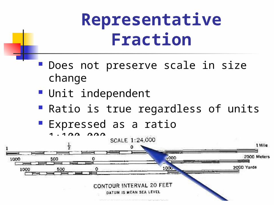
Representative Fraction
Does not preserve scale in size change Unit independent Ratio is true regardless of units Expressed as a ratio 1:100,000 Expressed as a fraction
1/100,000

Variable Scale
Projections that do not preserve distance
City maps (Falk)

Large vs. Small Scale
Small scale shows large areas Large denominator Think of it as small in detail
Large scale shows small areas Small denominator Think of it as large in detail
1/500,000
1/500

Area and Scale
Retains the same relationship as linear scale
The linear scale is squared
1:1,0002 equals 1:1,000,000
One square inch to one square mile

Examples of Scale

You Have to Decide
What is the intended use
How will it be used
How much detail
What are the units
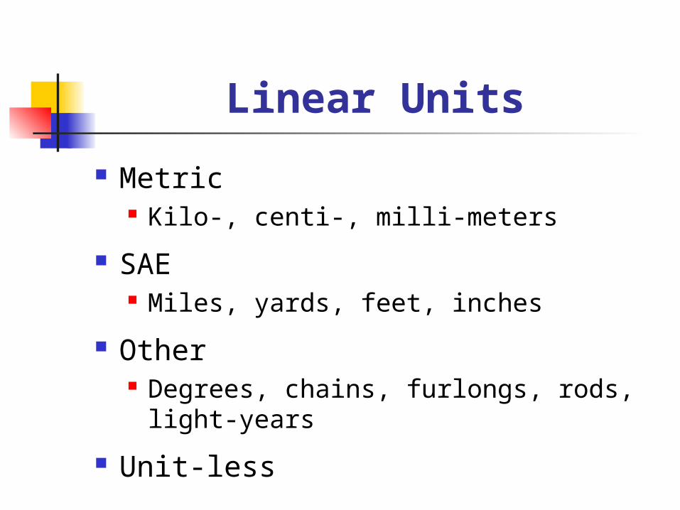
Linear Units
Metric Kilo-, centi-, milli-meters
SAE Miles, yards, feet, inches
Other Degrees, chains, furlongs, rods, light-
years
Unit-less

Areal Units
Metric Hectare, decare, are
U.S. Public Land Survey Township, section, acre
Other City block, ZIP code, police district,
parsec
Unit-less
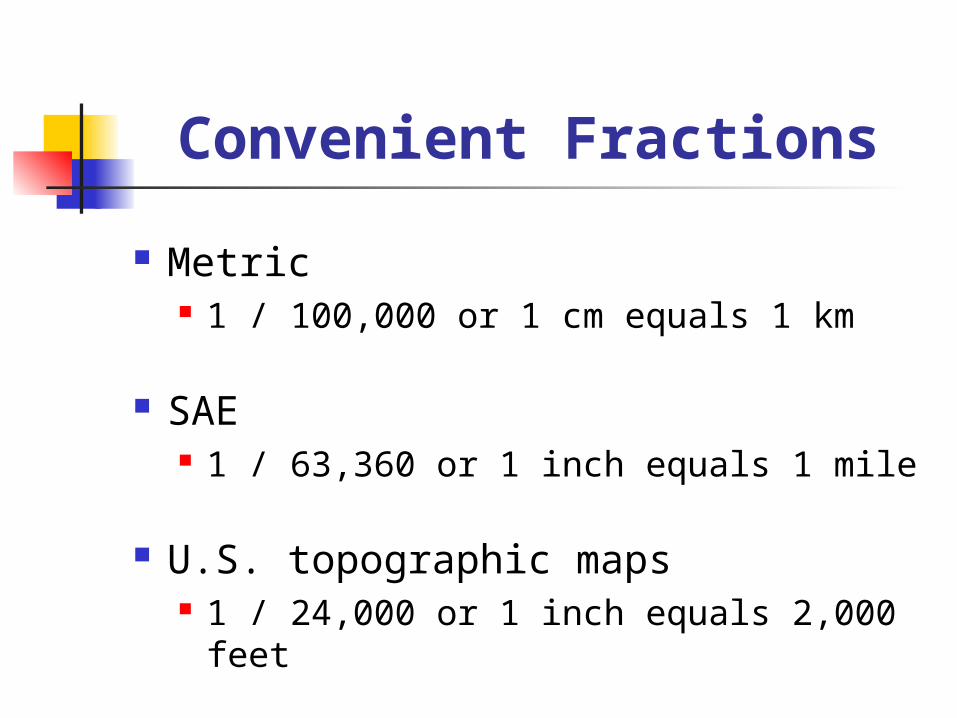
Convenient Fractions
Metric 1 / 100,000 or 1 cm equals 1 km
SAE 1 / 63,360 or 1 inch equals 1 mile
U.S. topographic maps 1 / 24,000 or 1 inch equals 2,000 feet

Metric / SAE ConversionLeague 1
Mile 3
Furlong 24
Chain 240
Rod 960
Yard 5280
Foot 15,840
Link 24,000
Hand 47,520
Inch 190,100
Line 2,281,000
Kilometer 4.828
Meter 4,828
Centimeter
482,800
Millimeter 4,828,000

Beware of
1 / 100,000 does NOT mean 1 mm equals 1 km, or 1 inch equals 100,000 feet
Mixed units Not allowed in representative fractions Permitted in verbal usage

Resolution
What is it that you wish to represent Countries States Counties Towns Property ownership

Detail
How much information needs to be conveyed?
How precisely have objects to be mapped? Generalization Cartographic license

Cartographic License
Alteration of real-world spatial relations to better present pertinent information
Distortion
Combination
Shift
Exaggeration
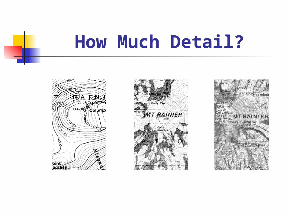
How Much Detail?

Road Displacement
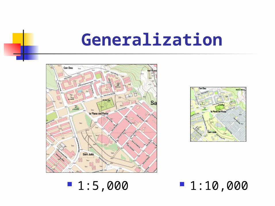
Generalization
1:5,000 1:10,000