chapter 20, sections 1,2. the shape of the land and climates and people
TRANSCRIPT

Chapter 20, Sections 1,2.
The Shape of the Land And
Climates and People

Latin America
• A vast region including lands in the western hemisphere influenced by Spanish and Portuguese settlers. The word Latin reflects a common language root.

The Amazon Basin
• Occupies 40% of the continent and is the largest rainforest in the world.

The pampas is another major lowland (Argentina to Uruguay).
• Wheat farms and cattle ranches make it one of the most productive farm regions in the continent.
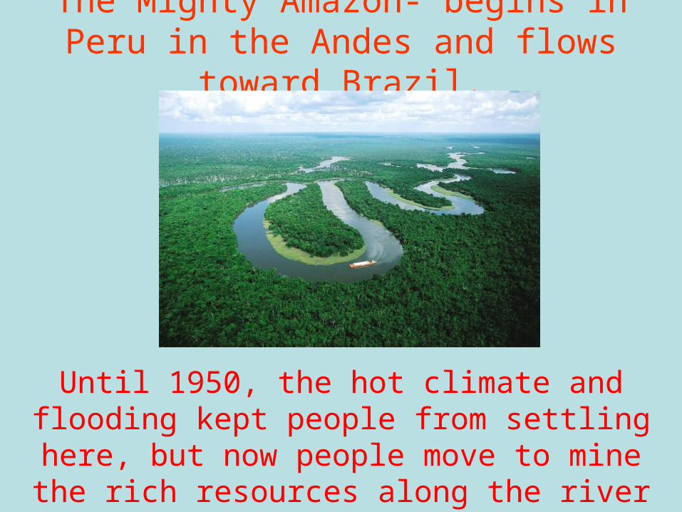
The Mighty Amazon- begins in Peru in the Andes and flows toward Brazil.
Until 1950, the hot climate and flooding kept people from settling here, but now people move
to mine the rich resources along the river (lumber, minerals, and livestock).

Currents from the Equator off the coast of Peru cause El Nino, with record rainfall and effects as
far abroad as the US.

Gold and silver lured the European powers to S. America. Brazil, Mexico, and Peru still produce
much of these metals.
Chile leads the world in exporting copper. In Bolivia, miners make tin. Jamaica, Guyana and
Surinam have deposits of bauxite (the ore aluminum is extracted from).
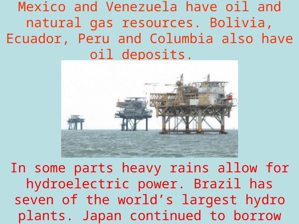
Mexico and Venezuela have oil and natural gas resources. Bolivia, Ecuador, Peru and Columbia
also have oil deposits.
In some parts heavy rains allow for hydroelectric power. Brazil has seven of the world’s largest
hydro plants. Japan continued to borrow from the Chinese.

The economies of many Latin American nations depend on cash crop exports like bananas,
sugar, tobacco, coffee and rubber.
Nations that rely on the export of a single good are at the mercy of world markets.

Spanish, Dutch, Portuguese, English and French settled in Latin America. Many married natives,
and their children formed new ethnic group called mestizos.