campus web map for kfupm
TRANSCRIPT
Campus Web Map for KFUPM
Term Project for CRP 514 course
Presented by
Mohammad Alkaff
Farid BinbeshrInstructor
Dr. Baqer Al‐Ramadan
1
• Introduction
• Problem statement
• Purpose of the project
• Resource and Information
• Methodology
• Building the Map
• Publishing the Map
• Case study
• Conclusion and Future Work
Agenda
2
• Geographical Information System (GIS) is a system of
hardware and software that supports the capture,
management, manipulation, analysis, and display of
Geographic Information
Introduction
3
• Links databases and maps
• Manages information about places
• Helps answer questions such as:
• Where is it?
• What else is nearby?
• Where is the highest concentration of ‘X’?
• Where can I find things with characteristic ‘Y’?
• Where is the closest ‘Z’ to my location?
Introduction
4
• The use of Geographical Information System (GIS)
and the internet has changed the way of the
organizations that use geographic information.
• Geographic Information System (GIS) can be used in
campus planning, accessibility, safety, and
maintenance operations for a university.
Introduction
5
• Interactive map for the KFUPM university is not
available either for browsing or for planning and
facilities management
Problem statement
6
• The purpose of this project is to produce an
interactive campus web map of the academic
buildings and their parks for King Fahd University of
Petroleum and Minerals (KFUPM) using Geographic
Information System (GIS) software.
Purpose of the Project
7

• ArcGIS tool.
• Data and information from Housing and Office
Services Department.
Resource and Information
8

• Building the map
• Publishing the map
Methodology
9

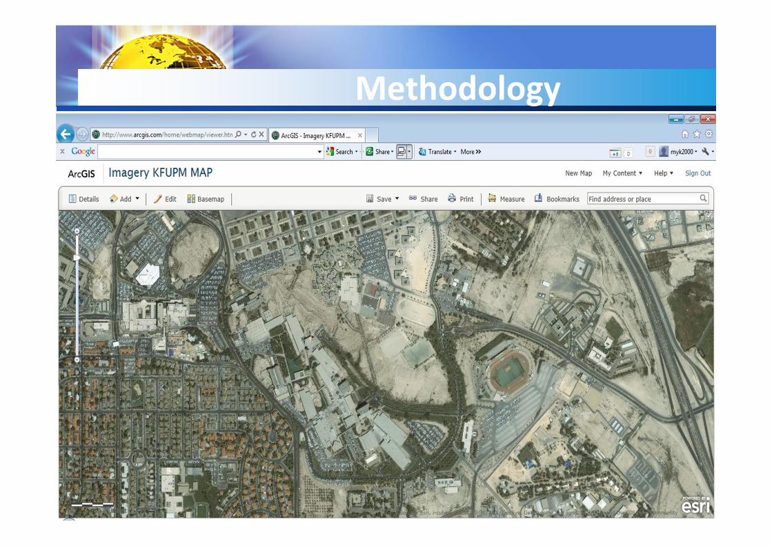
• Building the map
• Getting the Campus map of KFUPM.
• Editing the features (polygon and polyline) of the map
using AutoCAD software.
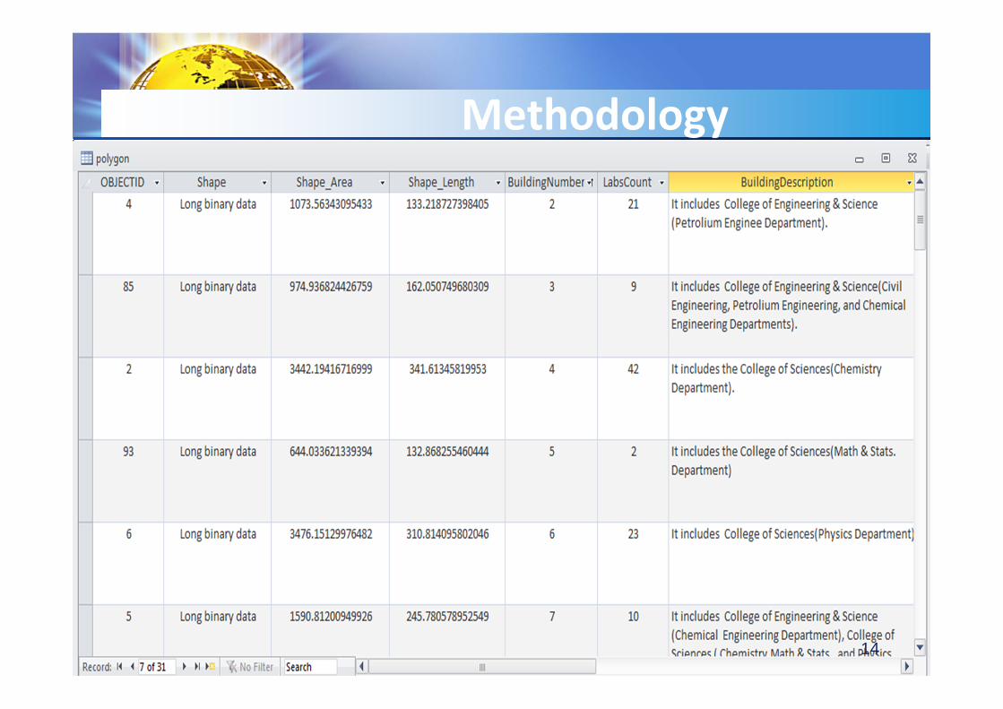
• Collecting the data that are related to the Academic
Buildings (polygon features).
Methodology
10
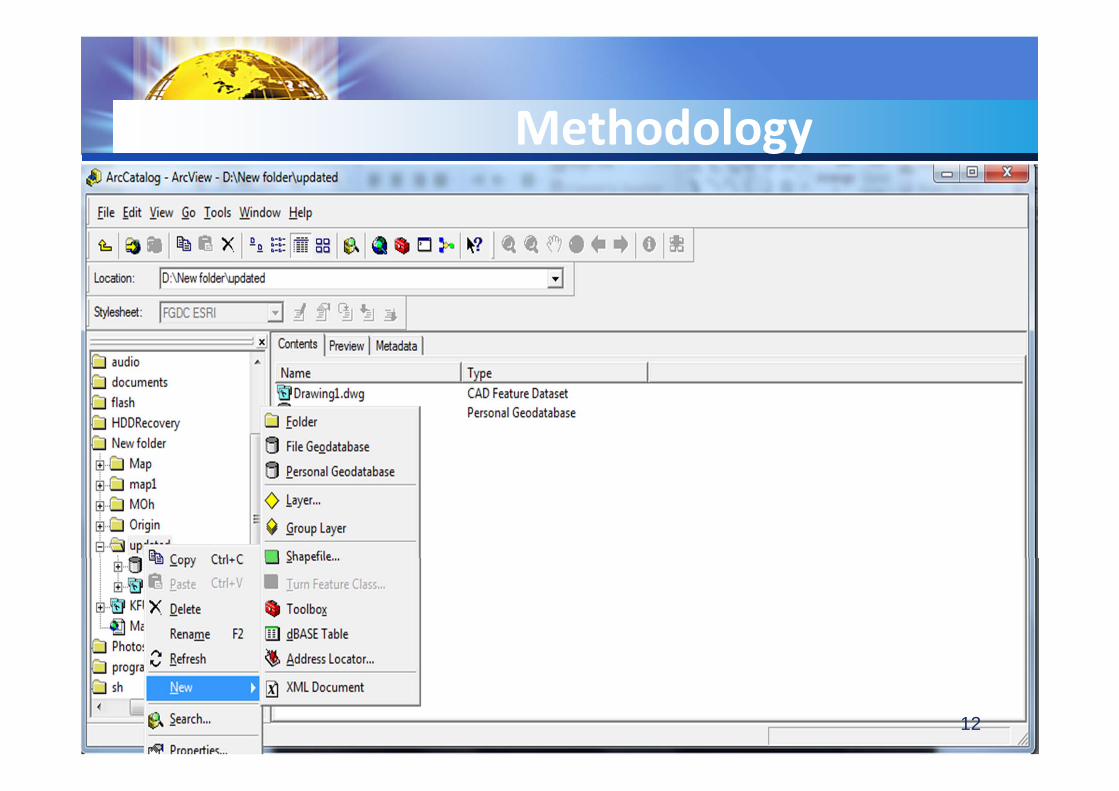
• Building the map
• Creating the geodatabase for the data using
ArcCatalog.
Methodology
11
Methodology
12

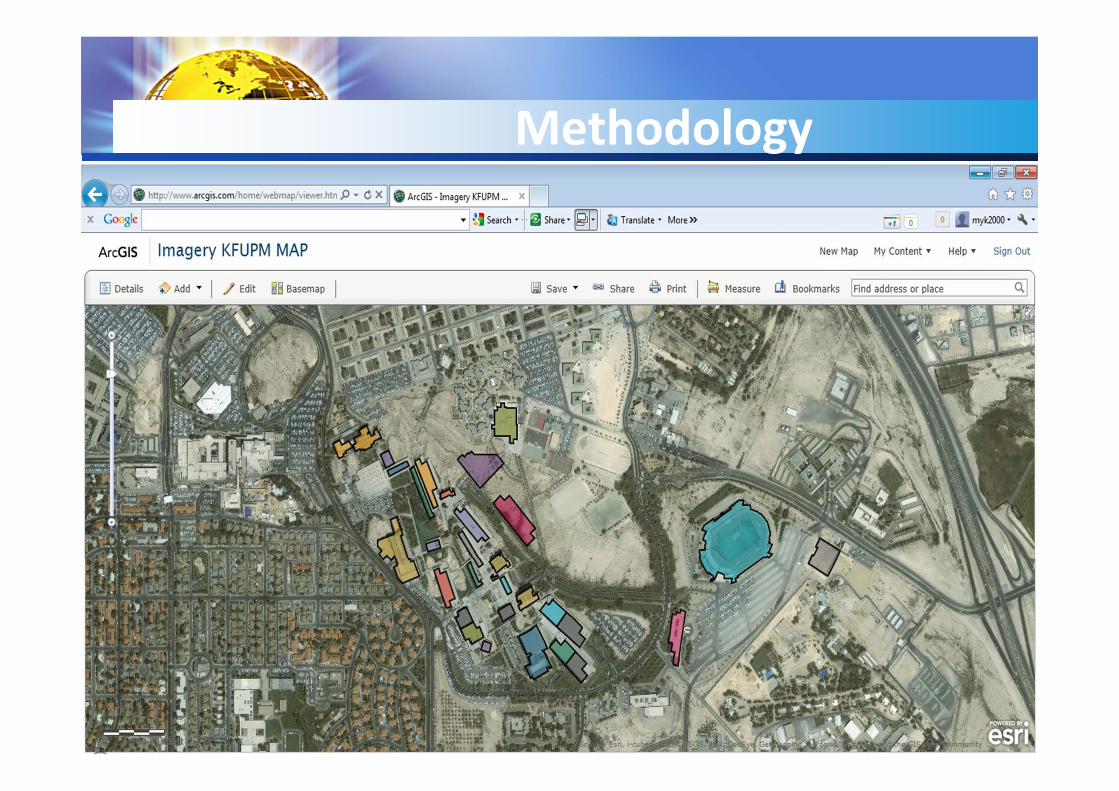
• Building the map
• Creating the layers (Academic Buildings and street) of
the map.
Methodology
13
Methodology
14

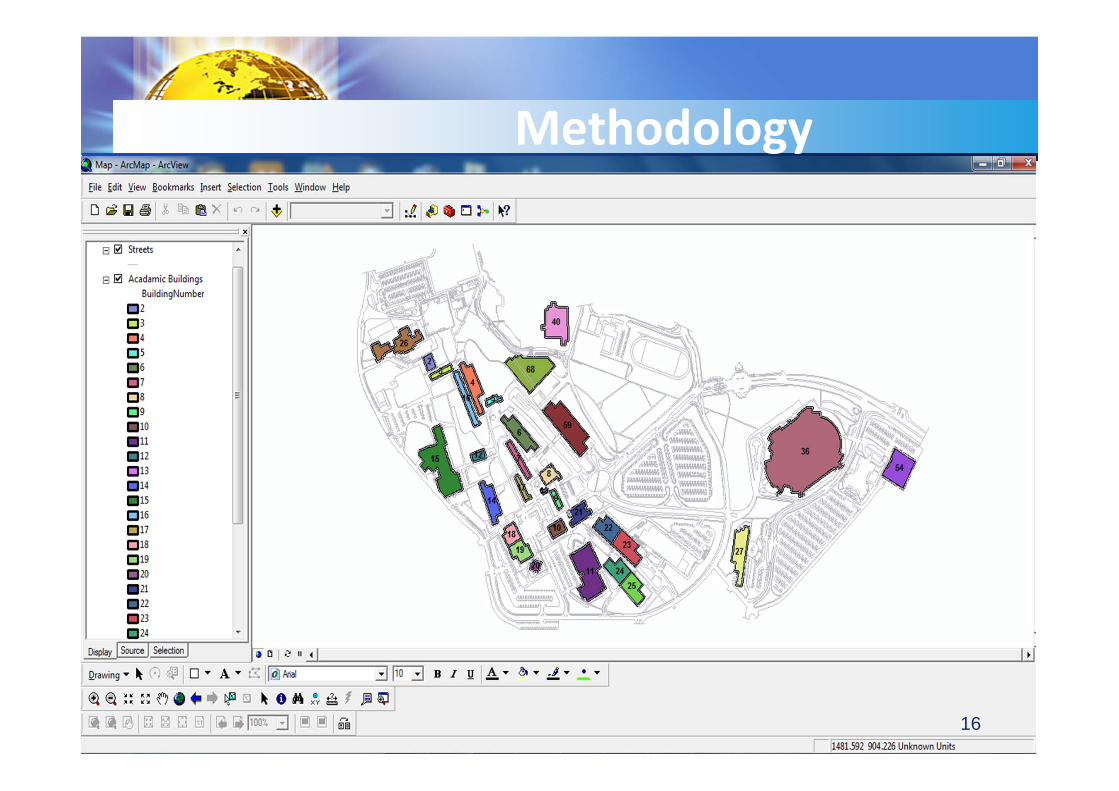
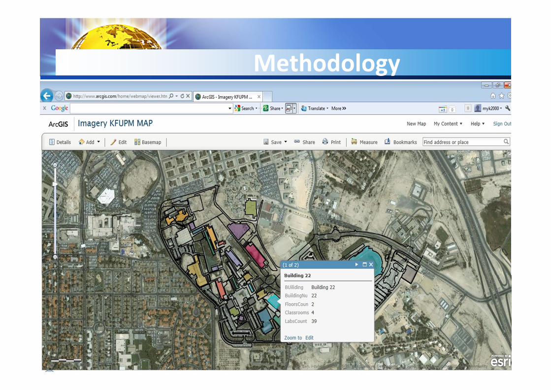
• Building the map
• Displaying the map and getting information about map
features using ArcMap.
• Changing the properties of the layers to be ready to
publish.
Methodology
15
Methodology
16
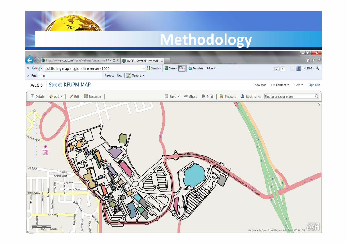
• Publishing the map
• Use ArcGIS Online server.
• Create ArcGIS free global account.
• Convert all layers to shape files.
• Upload your map as shape files.
Methodology
Methodology
Methodology

Methodology
Methodology

Methodology
Methodology
Methodology
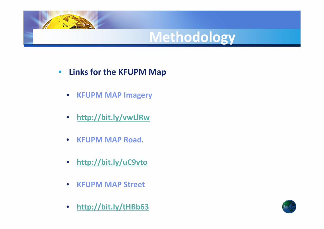
• Links for the KFUPMMap
• KFUPMMAP Imagery
• http://bit.ly/vwLlRw
• KFUPMMAP Road.
• http://bit.ly/uC9vto
• KFUPMMAP Street
• http://bit.ly/tHBb63

Methodology
• Limitation
• ArcGIS online server has many limitation.
• Upload shape files with maximum 1000 feature.
• Old Imagery map for the KFUPM.
Methodology
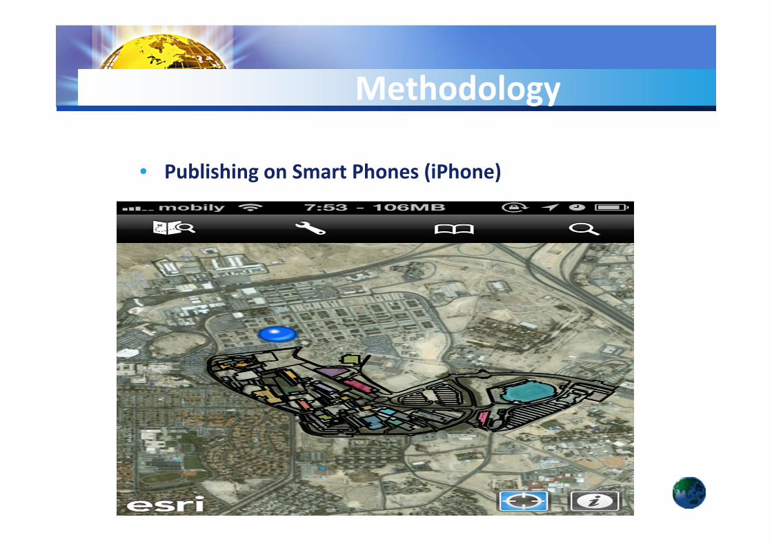
• Publishing on Smart Phones (iPhone)
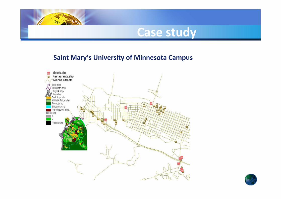
Saint Mary’s University of Minnesota Campus
Case study
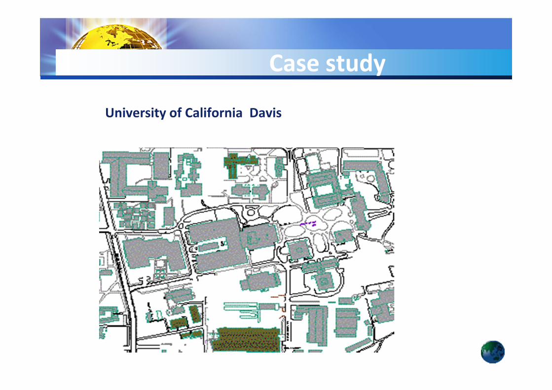
University of California Davis
Case study
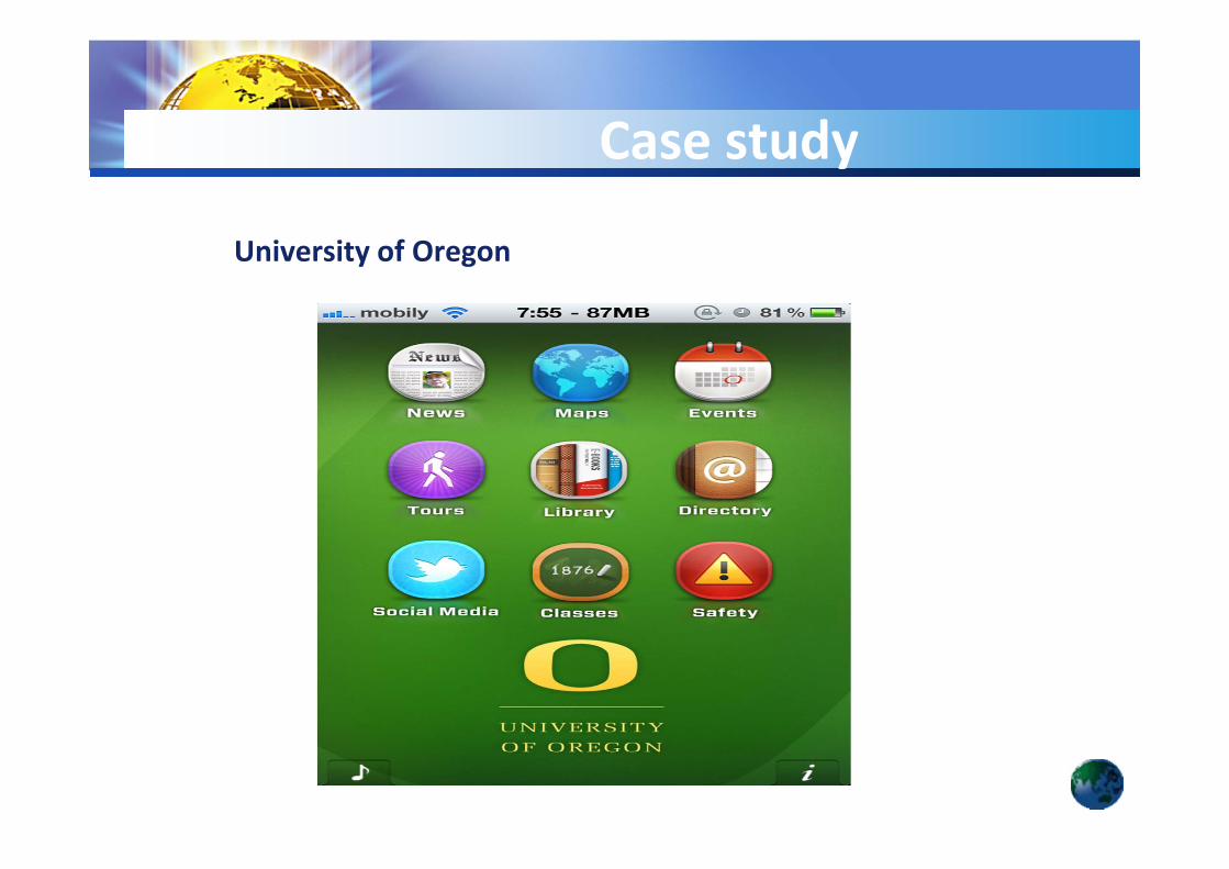
University of Oregon
Case study
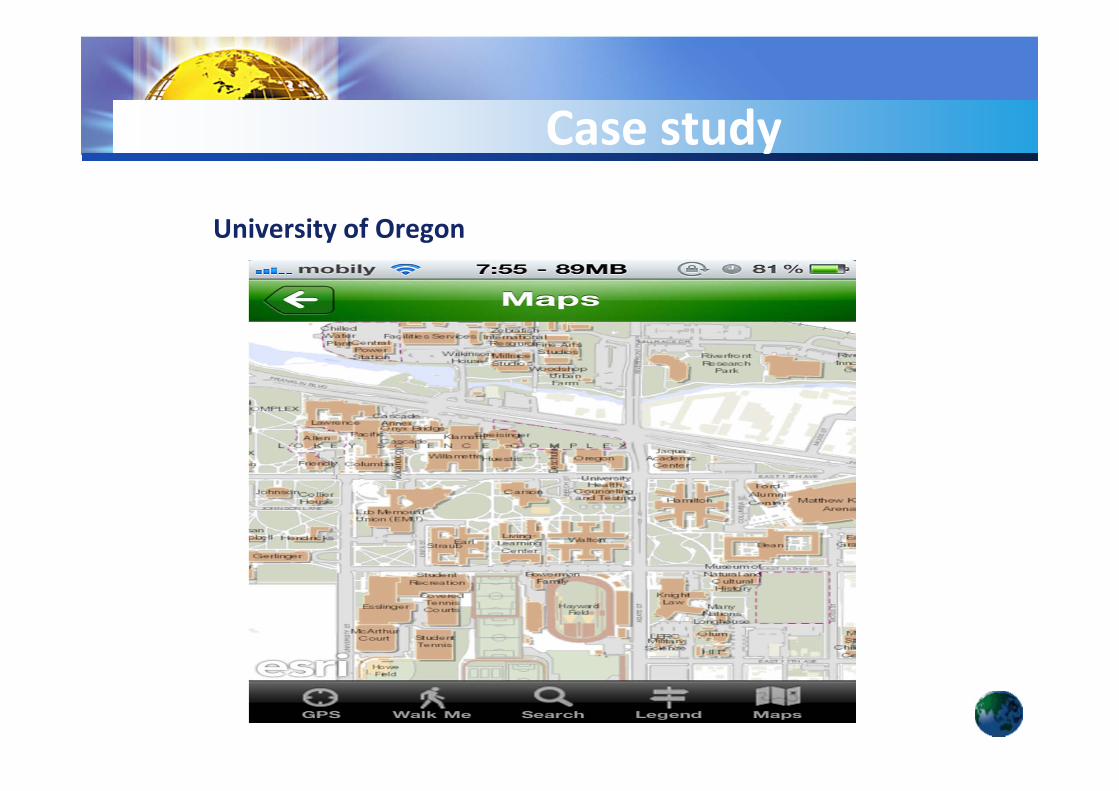
University of Oregon
Case study
• A Geographical information system (GIS) tool can
contribute to build an interactive map of the
university campus. The use of the interactive
Campus Web map in KFUPM can ease the
accessibility of buildings information for all users
such as, new students, visitors, etc.
Conclusion
31
• Build a dedicated smart phone application for KFUPM.
• User KFUPM ArcGIS Server for publishing maps.
Future Work
32

33