bentley descartes - geomodeling · bentley ® descartes one-stop imaging for mapping,...
TRANSCRIPT
BENTLEY® DESCARTES
™
One-stop imaging for mapping, visualization, and raster-to-vector conversion projects
Designed to support production imaging and visualization workflows, Bentley® Descartes™ is used around the world in
mapping, civil engineering, and other AEC projects.
Bentley Descartes is a comprehensive imaging solution with tools to warp, reference, resample, edit, enhance, andmosaic aerial imagery. With Bentley Descartes, you can drape completed image mosaics over 3D terrains to produceoutstanding image scenes. You can also create or update color maps with a rich set of brushes and editing tools. Plus,you can convert maps or documents with integrated line-following and optical character recognition (OCR) capabilities.
Bring Your Projects to LifeEveryone understands a picture. With Bentley Descartes, you can work as if you are at the site. You can use any
MicroStation® editing tool to draw over an image backdrop or load any MicroStation Development Language (MDL®)
application and use it with Bentley Descartes. By incorporating images into your projects, you can produce striking
visual documents that are easy to understand and help communicate designs effectively to colleagues, clients, and
the public.
Format FlexibilityBentley Descartes makes it easy to use any source image or document to address the diverse needs of all imaging,
visualization, and conversion projects. You can use individual images or different types of images simultaneously. The
high-performance image display of Bentley Descartes lets you work easily with a wide range of industry-standard
raster file formats. And performance is maintained, no matter how large the file or mosaic size.
WYSIWYG GeoreferencingYou can quickly and efficiently register images with Bentley Descartes. The WYSIWYG registration process is much
more intuitive than methods that require distinct windows for vector and image data or rely heavily on transformational
statistics. A range of tools lets you perform operations from simple image squaring to multipoint precision registration.
Extensive Editing, Mosaicking, and Visualization ToolsBentley Descartes allows you to rapidly create seamless image mosaics. Bentley Descartes includes tools to move,
scale, and rotate images or objects within images, as well as tools to make regions of images translucent or transpar-
ent. These intuitive tools display dynamic feedback, providing the most efficient image manipulation possible. Once
complete, you can drape your image mosaic over a digital terrain model and create exciting, dynamic presentations.
You can also create an AVI and integrate it into a presentation or proposal with minimal effort.
Superior Map Editing and Document ConversionBentley Descartes includes a rich set of tools to convert maps and other documents. You can work completely in
raster, convert raster to vectors, or work with hybrid raster/vector files. You can also work with black and white or
color documents. Plus, you can use line-following tools, color brushes, and OCR to streamline and automate your
conversion projects.
Visit us on the Web for more information about Bentley solutions and services. www.bentley.com
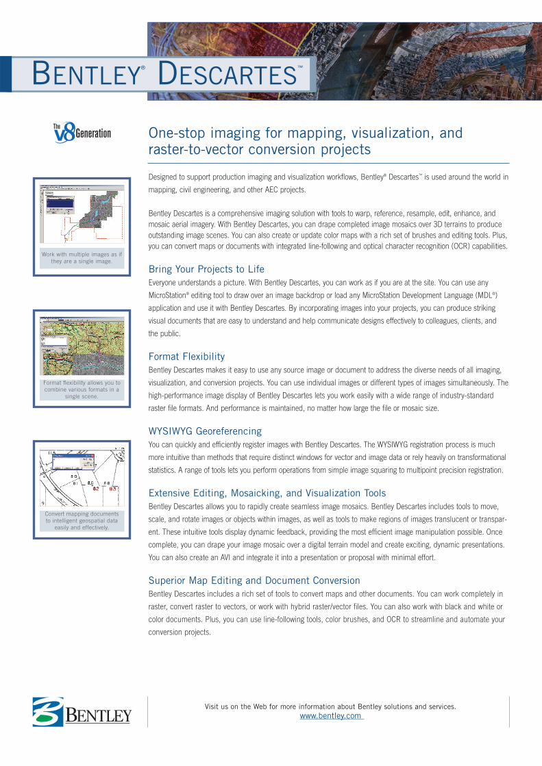
Work with multiple images as ifthey are a single image.
Format flexibility allows you tocombine various formats in a
single scene.
Convert mapping documents to intelligent geospatial data
easily and effectively.
Bentley, the “B” Bentley logo, MDL and MicroStation are registered trademarks; and Descartes is a trademark of Bentley Systems, Incorporated or Bentley Software, Inc. Windows andWindows NT are registered trademarks of Microsoft Corporation. Intel and Pentium are registered trademarks of Intel Corporation. All other brands and product names are trademarksof their respective owners. © 2003 Bentley Systems, Incorporated. Bentley Systems, Incorporated believes the information in this publication is accurate as of its publication date. Theinformation is subject to change without notice. DAA023620-1/Z001 3/03
CALL TODAY FOR MORE INFORMATIONBentley Systems, Incorporated, is a global provider of collaborative software solutions that enable our users to create, manage and publish architectural, engineering and construction (AEC) content. As a part of those solutions,Bentley provides professional services including implementation, integration, customization and training.
Visit us on the Web for more information about Bentley solutions and services. www.bentley.com
Image Selection Sets� Ability to perform the same operation on multiple
images, simultaneously� Ability to process mosaics as a single image� Ability to move, scale, rotate, or warp image mosaics
in a single operation
Native File Support� Fast open operations� Fast save operations� No conversion needed� Seamless and more flexible workflow
Bentley Publisher Client� Ability to view and work with images from a remote
server, anywhere in the world, without interruptingthe workflow
� Improved internal collaboration� More efficient workgroup productivity
Automatic Vector Stamping� Easy, user-friendly stamping interface for more
productive workflow� Stamp settings achieve optimal stamp results
without manual “experimenting”� WYSIWYG stamping as vector data is stamped at the
current zoom factor
Image Transform Modify Image Function� Ability to interactively move, scale, rotate, and
change the affinity angle of an image scene� Ability to perform the same operation on multiple
images, simultaneously� Instantaneous visual feedback
Enhanced Toolset for 3D Image Manipulation
� Perspective� Elevation� Ability to modify in any orientation (front, right,
isometric, etc.)
Mosaic Tools� Automatic seaming� Automatic feathering� Unlimited number of images� Automatic color balance
Precision Warping with Register� Easy-to-use interface for creation of more precise
warps� Accurate results the first time with WYSIWYG display
of vectors and control points over raster � Precise fit without iterations� Ability to offload processing to a convenient time
with batch resampling
Automatic and Interactive Raster-to-vectorConversion
� Rapid conversion of drawings or maps into useful, discipline-ready vectors
� A wide range of tools (snap to interactive conversionto automated conversion) for great flexibility in workflow adjustments for different projects or varying documents
� Conversion of any type of map or drawing, in blackand white or color
Industry-standard File Format Support� Formats: TIFF (1 to 32-bit), GEOTIFF, iTIFF, COT,
CIT, RLE, CALS, PCX, IMG, BUM, TG4, INT, RGB,TGA, JPEG, RLC, RS, HMR, BMP, and IKONOS 3,and 4 bands from Space Imaging
� Compression schemes: Deflate, PackBits, CCITT3,CCITT4, and JPEG
� Wavelet compression schemes: ECW and MrSID
BENTLEY DESCARTES AT-A-GLANCE
Bentley North American HeadquartersBentley Systems, Incorporated685 Stockton DriveExton, PA 19341 USAPhone: +1 800 BENTLEY (+1 800 236 8539)Outside the US +1 610 458 5000Fax: +1 610 458 1060
Bentley International HeadquartersBentley Systems Europe B.V.Wegalaan 22132 JC HoofddorpTHE NETHERLANDSPhone: +31 23 556 0560Fax: +31 23 556 0565
To find a local Bentley office, please visit www.bentley.com/corporate/contacts.
SYSTEM REQUIREMENTS� Software:
MicroStation V8 � Processor: Intel® Pentium®-based or
AMD-based PCs and workstationsrunning one of the following:
� Operating System: Windows® 2000,Windows XP Professional, WindowsXP Home Edition, Windows Me,Windows NT® 4 (SP6 recommend-ed), Windows 98 (Second Editionrecommended)
� CD drive or access to the Internetrequired for product installation
� Memory: 128 MB � Disk Space: 200 MB minimum free
disk space � Input Device: Mouse or digitizing
tablet (digitizing tablet requires vendor-supplied WINTAB driver orBentley's Digitizer Tablet Interface-the latter is included with theMicroStation installation)
� Output Device: A host of industry-standard devices are supported.Works with output devices supported by Windows.
� Video: Supported graphics card.Dual-screen graphics supportedwith vendor-supplied drivers forWindows NT 4. Multi-monitor con-figurations supported with Windows98 and Windows 2000
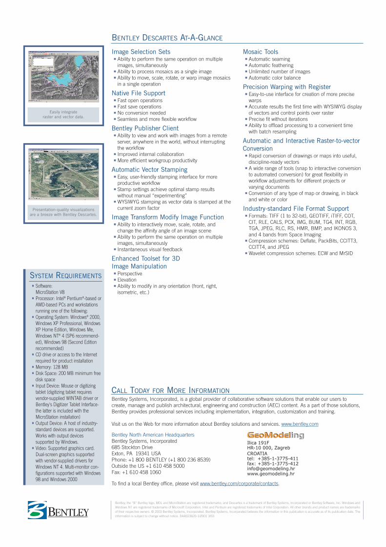
Easily integrate raster and vector data.
Presentation-quality visualizationsare a breeze with Bentley Descartes.