barrie rail corridor expansion project transit project ... · public meetings round #2 november...
TRANSCRIPT

Public Meetings Round #2
November 2016
BARRIE RAIL CORRIDOR EXPANSION PROJECT
TRANSIT PROJECT ASSESSMENT PROCESS

Barrie Rail Corridor Expansion Project Scope
2
• Provision of a second track between Lansdowne Avenue in the City of Toronto (Mile 3.00) to Allandale Waterfront GO Station in the City of Barrie (Mile 63.00);
• Upgrades at existing GO Stations along the corridor: Rutherford, Maple, King City, Aurora, Newmarket, East Gwillimbury, Bradford, Barrie South, Allandale Waterfront;
• Upgrades to existing structures within the Corridor (e.g. culverts, bridges); and,
• A new Train Layover Facility within the Town of Bradford West Gwillimbury for overnight storage of trains.
Legend text looks blurry. Need to sharpen.

Barrie Corridor - Existing Conditions
10 3
• Primarily a single track running from Union Station to Allandale Waterfront GO Station, approximately 63 miles in length;
• Uses a mix of 6, 10, and 12-car trains;
• Trains are stored overnight at the Barrie Layover Facility; and,
• GO Bus service is offered to all stations along the Corridor, with the exception of the York University GO Station, during off-peak hours.
Downsview Park Downsview Park
Caledonia Caledonia
Rush Hour: Weekday trains arriving at Union Station between 6:30 and 9:30 AM or departing from Union Station between 3:30 and 7:30 PM
Future GO Barrie Service Plan

Station Upgrade Concepts
Rutherford GO Station
Maple GO Station

Station Upgrade Concepts
King City GO Station
Aurora GO Station

Station Upgrade Concepts
East Gwillimbury GO Station
Newmarket GO Station

7
Summary of Public Meeting #1 -November 2015
The first series of four Public Meetings were held November 2015. An Online Survey was also available as an alternative for those interested stakeholders who could not attend the Public Meetings.
Public Meeting participants focused their comments on concerns affecting the local community, property values, and nuisance impacts, such as noise from train whistling.
Online Survey respondents noted concerns including parking at existing stations and the addition of new stations to the corridor increasing the overall commute time.
Most common comments received during the November 2015 consultation were:
• A lack of available parking at stations;
• The need for additional stations;
• Concerns that additional stations could slow commute times;
• Concerns for pedestrian and vehicle safety at crossings and along the Barrie rail corridor in general;
• Potential effects on property values and quality of life (i.e., noise, vibration, air quality) for residents in the vicinity of the corridor;
• The potential need for property acquisition; and,
• The need to better integrate GO Transit with local public transportation services.

Your FeedbackConsultation with members of the public and interested stakeholders will continue through future Public Meetings. All feedback received is documented as part of the final Environmental Project Report.
Your feedback also informs how we are moving forward with the project, including:
• New Stations – Currently completing a new station analysis network-wide including review of parking needs through Parking Strategies Study;
• Station Mobility – Ensuring GO Stations are fully accessible including pedestrian and cycling connectivity;
• Municipal Coordination – Representatives from each municipality along the Barrie rail corridor participate in Technical Advisory Committees to allow for municipal input into the Project planning and design process; and
• Additional Studies – Natural, social, and cultural environment currently being assessed through a number of studies to determine where mitigation measures are needed, including Traffic Impact Analysis, Noise and Vibration Analysis, Air Quality Study, and Natural Environment Report.
8
SAFETY/ TRAFFIC16%
PROPERTY 14%
SCHEDULE10%
STATION/FACILITY LOCATION
18%
SOCIO-ECONOMIC/ ENVIRONMENT
IMPACT/NUISANCE30%
OPEN HOUSE FORMAT/PROCESS
9%
CONNECTIVITY/OTHER3%
KEY ISSUES OVERVIEW
SAFETY/ TRAFFIC
PROPERTY
SCHEDULE
STATION/FACILITY LOCATION
SOCIO-ECONOMIC/ ENVIRONMENTIMPACT/NUISANCE
OPEN HOUSE FORMAT/PROCESS
CONNECTIVITY/OTHER

Natural Environment
9
Potential Effects:
• Erosion, sedimentation, encroachment during construction;
• Disturbance to migratory birds, fish, and wildlife;
• Barriers to wildlife movement; and,
• Work within habitat of Endangered/Threatened Species and fish habitat.
• Some losses to natural features will be unavoidable; and,
• Consultation with TRCA, LSRCA, MNRF, and applicable municipalities will be ongoing during detailed design to address restoration/compensation strategies for wetlands, woodlands and species habitat.
Mitigation Measures:
• Erosion Sediment Control (ESC) Plan, work zone fencing;
• Use applicable timing windows;
• Wildlife passages;
• Wildlife exclusion fencing;
• Consider design options to minimize disturbance;
• Obtain permits, as required; and,
• Continue to work with Conservation Authorities and MNRF during detailed design.
Natural Feature Number Present in York Region*
SignificantNatural Areas
Provincially Significant Wetland Complexes:Candidate Areas of Natural and Scientific Interest: Significant Woodlands:
4
249
Wildlife and Wildlife Habitat
Types of Significant Wildlife Habitat: Species of Conservation Concern: Endangered and Threatened Species:
25137
Fish Habitat Watercourses: 24
*Many Natural Features overlap, i.e., many wildlife habitats are found within Significant Natural Areas.

Cultural Heritage Screening
MunicipalityRecommended
CHERsCHP
Potential PHP
HIA
City of Vaughan 1 0 1 0
King City 2 0 2 0
Town of Aurora 2 0 2 1
Town of Newmarket
13 8 5 0
Town of East Gwillimbury
2 2 0 0
10
The Metrolinx Interim Cultural Heritage Management Process (2013) involves four steps: Cultural Heritage Screening; Heritage Evaluation; Interim Cultural Heritage Management; and Review and Approval for Metrolinx Heritage Properties of Provincial Significance. The CHSR fulfills Step 1 of the above four-step process.
Potential Effects• 90 properties identified under the screening process, including 50
in York Region; and,• A total of 20 Cultural Heritage Evaluation Reports (CHERs);
including Conditional Heritage Property (CHP) and Potential Provincial Heritage Property (PHP); and 1 Heritage Impact Assessment (HIA) recommended within York Region.
Mitigation Measures• Conduct heritage evaluations and manage cultural heritage
resources in accordance with the Ontario Heritage Act.

Stage 1 Archaeological Assessment
11
North view of study area from EnglehardDrive. Rail ROW is disturbed. Lands beyond are developed and disturbed with no potential.
The study included the existing Barrie rail corridor right of way, adjacent properties impacted by the expansion, and the proposed Bradford Train Layover Facility lands.
Northeast view of study area from Bathurst Street. Some Lands beyond are developed and disturbed with no potential, where other Lands exhibit archaeological potential and require Stage 2 Archaeological Assessment by test‐pit survey.
Potential Effects• Potential for the identification of
Aboriginal and Euro-Canadian archaeological resources;
• Majority of the study area is previously disturbed by construction of the existing rail corridor as well as adjacent development; and,
• Some lands within the study area have been subject to previous archaeological assessments and do not require further archaeological investigations.
Mitigation Measures• Stage 2 Archaeological Assessment is
required for some areas along the corridor and may include a Cemetery Investigation if properties include or lay adjacent to known cemeteries or possess potential for containing human remains; and,
• A portion of the study area has potential for containing an ancestral Huron-Wendat ossuary. These lands require ossuary monitoring prior to any proposed ground disturbance.

Socio-Economic and Land Use Characteristics
Potential Effects – Property Acquisition for York Region
• Full Acquisitions – 4 properties; and
• Partial Acquisitions – 94 properties.
Mitigation Measures – Property Acquisition• Prioritize design to avoid the need for acquisition of small properties
where structures will be affected or where a significant portion of the property will be lost; and,
• Engage with affected property owners and provide fair market value compensation.
12
Potential Effects
• Temporary effects due to construction noise, dust, and vibration;
• Temporary access and traffic restrictions;
• Visual aesthetic concerns associated with the removal of trees; and,
• Fencing and other safety barriers.
Mitigation Measures
• Construction will be carried out in accordance with best practices:
– Traffic Management and Control Plans;
– Erosion and Sediment Control Plans;
– Emergency Response and Communications Plans; and,
– Landscaping and Tree Compensation Plans.
• Noise, vibration, dust and air quality effects will comply with provincial regulations and local by-laws;
• The entire corridor will be fenced to limit access; and,
• Safety structures at rail crossings will be reviewed during detailed design.
Construction/Operations
Traffic Impact AnalysisPotential Effects
• Increased exposure for motorists and pedestrians;
• Additional potential for conflict between road and rail operations (i.e. delay, queuing, etc.); and,
• Modification or additional rail crossings.
13
Mitigation Measures
• Crossing protection measures; and
• Traffic Control and Management Plans.
• Other Metrolinx Initiatives:
- Assessment of existing 54 road-rail crossings to determine which should remain or be replaced with an underpass or overpass; and
- Updates to Parking Strategy Studies and the Station Access Plans.
Other Considerations
• Trail authority/municipality to consider needs within their planning for proposed trail crossings; and
• Transit improvements to be planned by local transit authorities to maximize transit connections.
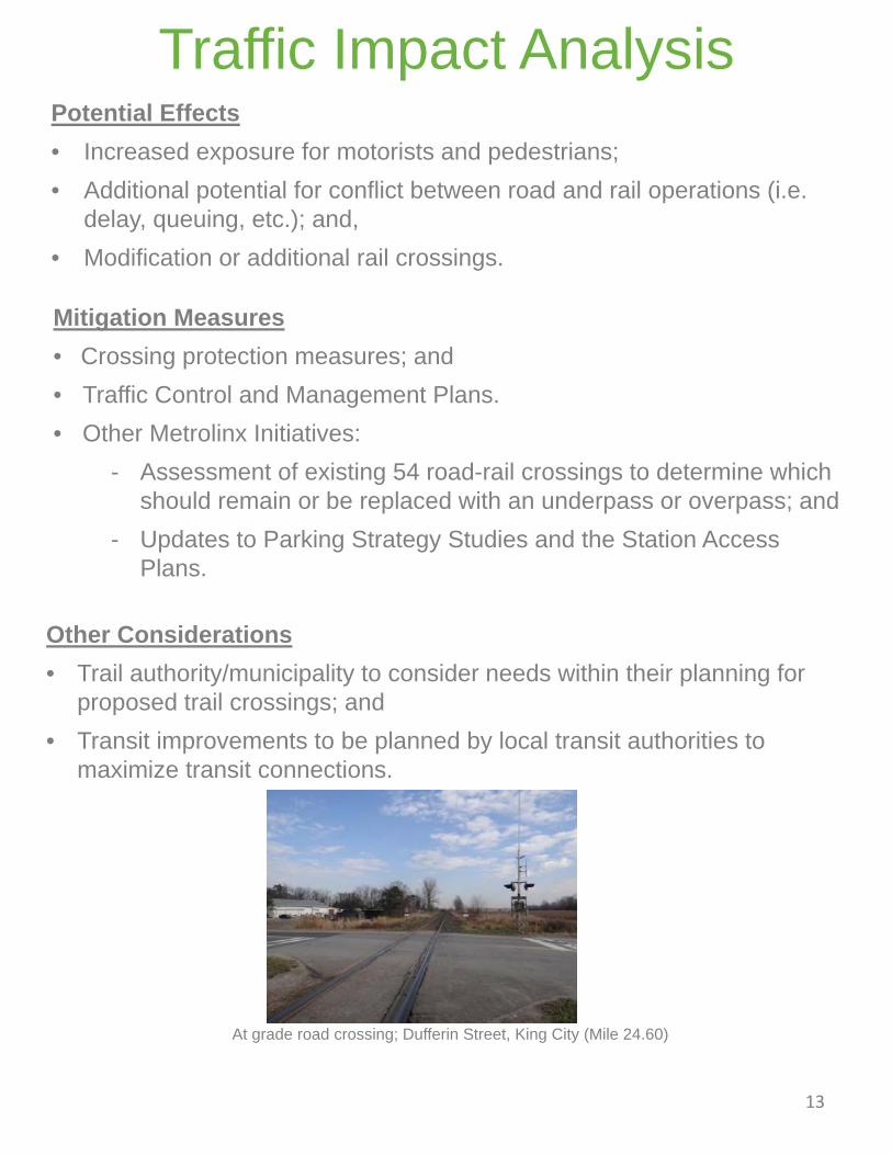
At grade road crossing; Dufferin Street, King City (Mile 24.60)

14
Traffic Impact Analysis
14
GO Station Improvements – Construction Potential Effects
Rutherford GO Station – Construction access from Rutherford Road only, crossing existing trail/sidewalk. No access from local residential streets to the east.
Maple GO Station – Construction access from Hill Street and will require a rail crossing. No access from local residential streets to the west.
King City GO Station - Approximately 30 existing parking spaces will be permanently removed. Construction access via west parking area.
Aurora GO Station – Approximately 380 parking spaces will be permanently removed. Construction access via west parking area.
Newmarket GO Station –There will be no access from local residential streets to the west. Construction access via east parking area.
East Gwillimbury GO Station – Temporary impact on the active transportation network caused by construction access.
Newmarket GO Station/Tannery Mall (Mile 34.35)
Maple GO Station, Vaughan (Mile 18.28)

Potential EffectsConstruction:Dust emissions and reduced air quality resulting from:• Grading;• Demolition;• Stockpiling and transport of materials; and, • Construction equipment.
Operation and Maintenance:• Increased rail traffic will not exceed air quality criteria; and,• Air quality will be improved with an electrified service.
15
The air quality impact assessment was based on a comprehensive analysis as per the Ministry of Transportation (MTO) Environmental Guide for Assessing and Mitigating the Air Quality Impacts and Greenhouse Gas (GHG) Emissions of Provincial Transportation Projects.
Air Quality Study
Operation and Maintenance:• Compliance with applicable
regulations and standards;• Use of no idling signs at all
stations; and,• Improve walkways and trail
connections to promote active transportation.
Mitigation Measures
Construction:• Dust mitigation;• Locate stockpiles to minimize
exposure to wind;• Retractable covers used by dump
trucks;• Deconstruction methods (and
enclosures for debris) instead of demolition;
• Equipment washing, use of mud mats, and erosion and sediment control measures;
• Permanent stabilization of exposed soil; and,
• Emission controls for construction equipment.