arcgis tools - esbn.unescap.org islands_1.pdf• arcgis has been developed by esri (environmental...
TRANSCRIPT

ArcGIS Toolsfor DRM Household Surveys
Timoti Tangiruaine
Emergency Management Cook Islands (EMCI)
COOK ISLANDS
Regional Workshop on
Strengthening Multi-Hazard Risk Assessment and Early Warning System with
Applications of Space and Geographic Information Systems in Pacific Islands Countries
26th – 27th April 2018
Nukualofa
Kingdom of Tonga
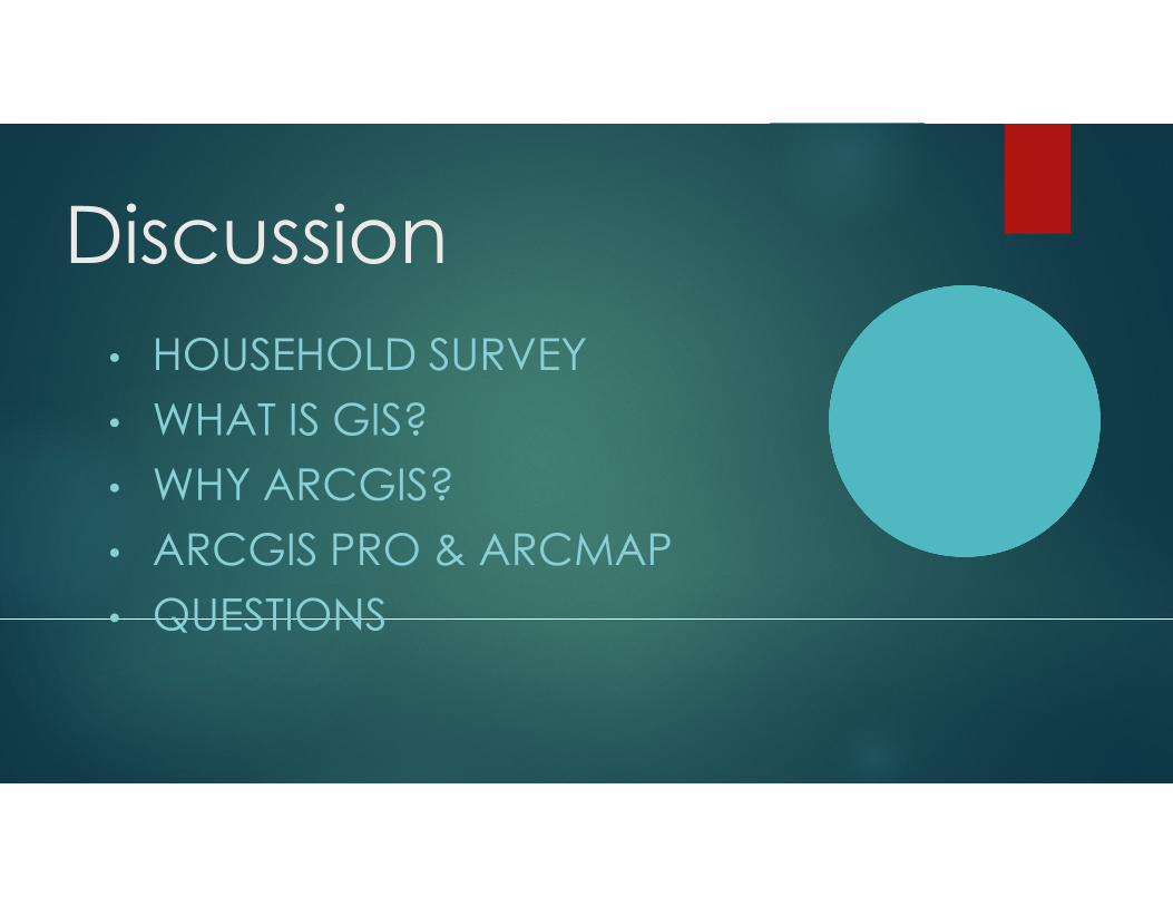
Discussion
• HOUSEHOLD SURVEY
• WHAT IS GIS?
• WHY ARCGIS?
• ARCGIS PRO & ARCMAP
• QUESTIONS

BEFORE I GO ON
�ArcGIS Software was donated to the Cook
Islands government by ESRI in 2013.
� This was donated as a contribution to the spatial
data management of the Marae Moana, our
Marine Park
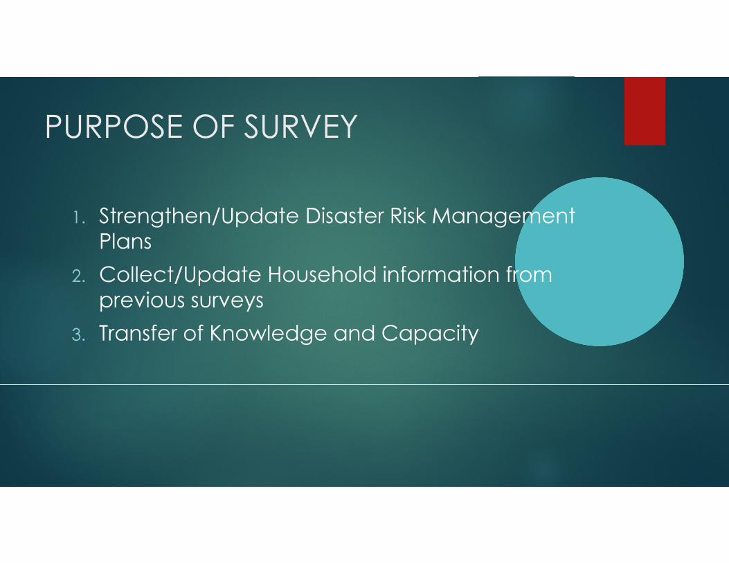
PURPOSE OF SURVEY
1. Strengthen/Update Disaster Risk Management
Plans
2. Collect/Update Household information from
previous surveys
3. Transfer of Knowledge and Capacity


RATIONALE– WHY ARE WE DOING
THIS?
� Disaster Risk Management
� Identify vulnerable buildings
� Identify vulnerable people
� Climate Change
�Minimize the negative impact of Natural
Disasters – Droughts, Cyclones, Tsunami, etc
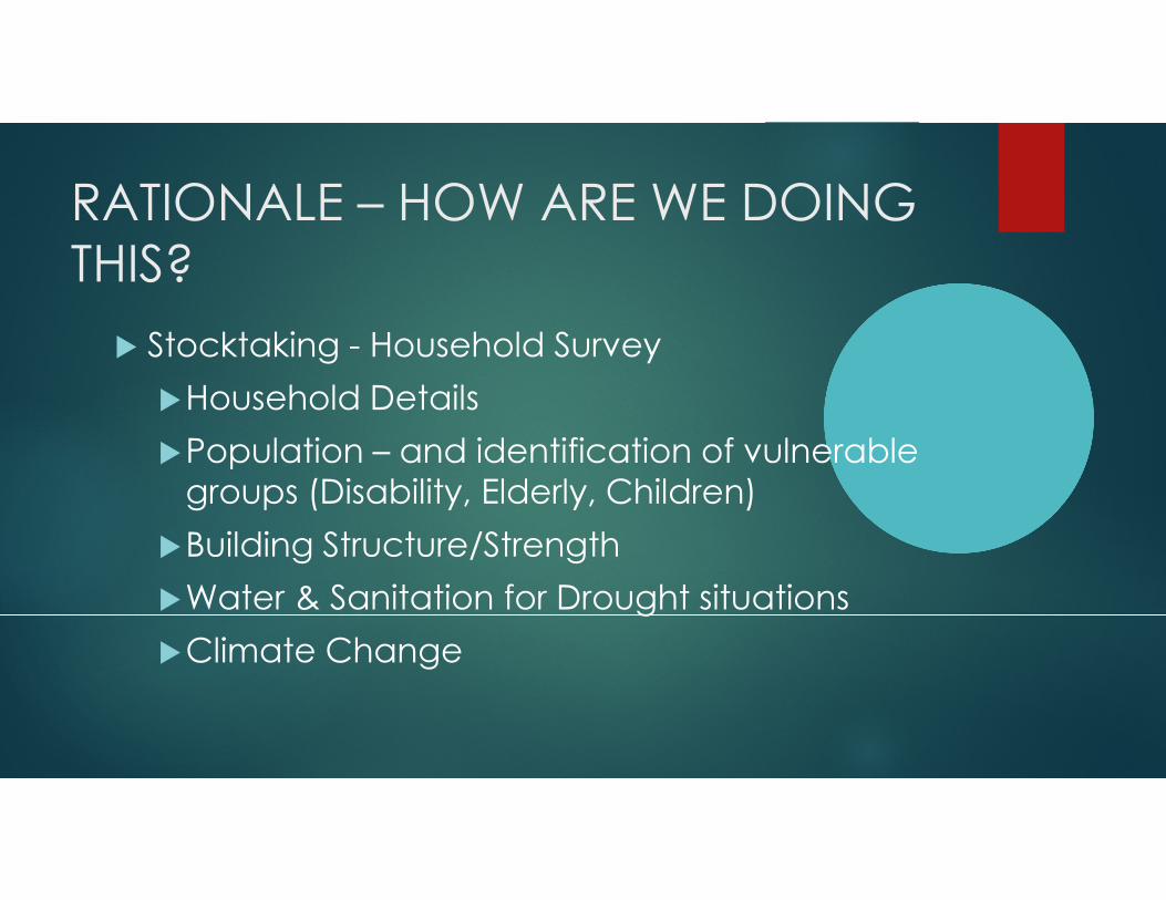
RATIONALE – HOW ARE WE DOING
THIS?
� Stocktaking - Household Survey
�Household Details
�Population – and identification of vulnerable
groups (Disability, Elderly, Children)
�Building Structure/Strength
�Water & Sanitation for Drought situations
�Climate Change

WHAT IS GIS?
• GIS - Geographic Information System
• A system designed to capture, store, manipulate, analyze, manage, and present (mapping) all types of geographical data.
• The key word to this technology is Geography –the data is spatial related, or say, in some way the data is referenced to locations on the earth
• An optimized platform to enable data management sharing via online, especially for government organizations
• It has been used for all sorts of spatial related projects effectively
• All sort of different software: ArcGIS, MapInfo, GeoMedia…

WHAT IS GIS?• Separated GIS Layers
• Integrated GIS Database
• Various formats
1. ArcGIS Shape file
2. ArcGIS Feature class
3. ArcGIS Raster file
4. MapInfo Tab file
5. Bentley dgn file
……
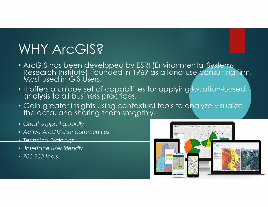
WHY ArcGIS?• ArcGIS has been developed by ESRI (Environmental Systems Research Institute), founded in 1969 as a land-use consulting firm. Most used in GIS Users.
• It offers a unique set of capabilities for applying location-based analysis to all business practices.
• Gain greater insights using contextual tools to analyze visualize the data, and sharing them smoothly.
• Great support globally
• Active ArcGIS User communities
• Technical Trainings
• Interface user friendly
• 700-900 tools
ESRI

WHY ArcGIS?• The products suit all different purpose
ESRI

WHY ArcGIS?• In the Old days
• 2014 – 03/2018

WHY ArcGIS?• Now
• Collector for ArcGIS
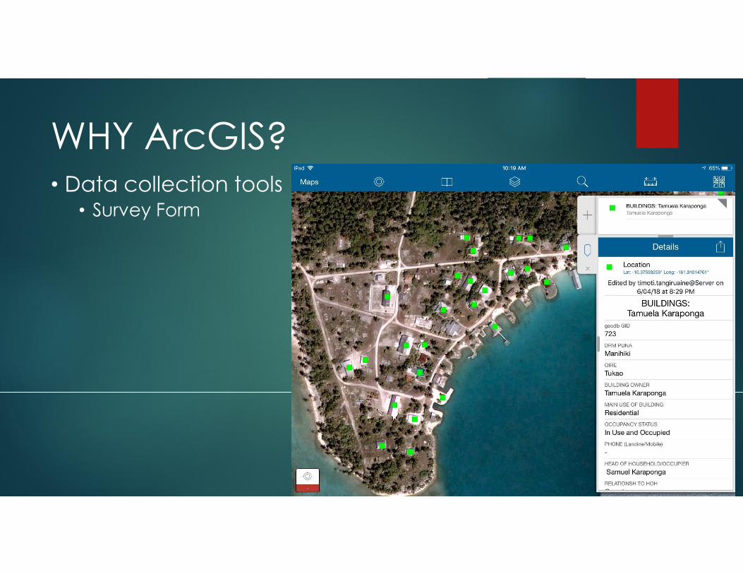
WHY ArcGIS?• Data collection tools
• Survey Form

ArcMap & ArcGIS Pro
From ESRI
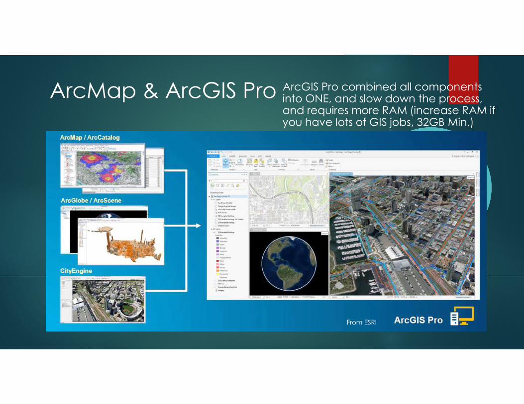
ArcMap & ArcGIS Pro ArcGIS Pro combined all components into ONE, and slow down the process, and requires more RAM (increase RAM if you have lots of GIS jobs, 32GB Min.)
From ESRI
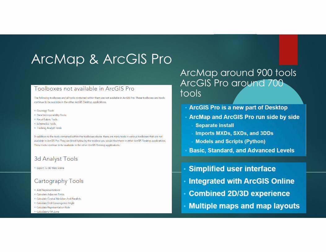
ArcMap & ArcGIS ProArcMap around 900 toolsArcGIS Pro around 700 tools

Any
Questions
Meitaki