access to space-based data: the regional perspective · access to space-based data: the regional...
TRANSCRIPT

Access to Space-based Data: The Regional Perspective
Pillars for Global Governance of Outer Space Activitiesin the 21 Century
McGill Institute of Air and Space Law Conference on Global Space Governance
5-6 May 2017Montreal, Canada

Access to space-based data iscritical to understand ourEarth System and itscomponents (atmosphere,oceans, permafrost,mainland) as a whole, acrosstemporal and spatial scalesand, plays a fundamental roleat national, regional andglobal levels.
It offers unprecedented loads of information and a holistic view of theenvironment and resources, both at home and abroad.
Introduction

However, the use of open sources,
although useful, indeed, is sometimes
restricted and limited due to re-visit
times, image resolution, justification for
the use, downloading and practical use,
technical parameters, licensing,
interference and infrastructure and needs
of operators above all.
In the case of operators, open data
sharing is not a common practice, clearly
due to information protection,
investment and intellectual property
rights issues.

How developing countries could have access to space-based data?
Resources:
• International cooperation for access to space-based data forsustainable development.
• Exchange of experiences related to the use of space-based data(data processing, best practices)
• Support of start-ups and young entrepreneurs through businessincubators, prizes and competitions (tools, software, products)
• Skill development (imaging processes, use of tools, developproducts)
• Facilitation of space data for research and innovation programs(methodologies, algorithms)

Examples:
• In the case of Mexico, as we still do not have our own Earth remotesensing satellite, satellite images and data have been obtained fromopen platforms, bilateral collaboration agreements, donations,contracts involving financial costs and other satellite systems.Financial support is a possible solution that Mexico and LatinAmerica are taking into account to develop their projects.
• Latin American Earth Observation (EO) demand is growing rapidly,specifically for EO data and services. However governments havefailed in providing enough resources to acquire technology todevelop its own EO satellites.
• In this regard, the region is not developing at the same rate of atadvanced countries, with the exception of Argentina and Brazil whohas developed for decades its own industry.

Earth Observation Sensor Needs
Mexico is no stranger to natural disasters. The country has 2 million squarekilometers, and an accidental orography: 2 mountainous chains , one alongthe East and another in the West and joins in the denominated Mixtecoknot, with several volcanos, almost all them active.
Map depicting historical natural hazards in Mexico
Mexico has 11 000 kilometers ofcoastline, so of course it is hit byseveral hurricane every year. As anexample, for 2017 hurricane seasonwe are expecting 11 storms which 4of them will turn in hurricanes.
EO technologies proved to bepowerful tools to predict and monitorthese phenomena.

Earth Observation Sensor Needs
HIGH RESOLUTION
THERMAL
MULTI-HYPERESPECTRAL
RADAR
• Use data for topographic and thematic mapping, for example land use,vegetation or as planning resources for cities and large projects.
• In case of disasters are useful for damage assessment, emergency rapidresponse and reconstruction planning.
• Urban Heat Effects/Climatology• Temperature Analysis for Weather Predictions• Identification and Monitoring of Volcanic Activity• Water Quality Monitoring for Ecosystem and Resource Management
• Mining and geology (the ability of hyperspectral imaging to identify various minerals)
• Widespread as ecology and surveillance• Precision Agriculture• Air quality
• Crop classification, soil moisture• Terrain mapping• Forestry (biomass and deforestation)• Topography (Digital Elevation Models with interferometry)• Environment monitoring (oil spills, flooding, urban growth, etc.)

• Natural resources mainly related to national forestmonitoring programs, especially in Mexico and Brazil,although countries such as Argentina, Chile, and Colombiaare also increasing demand for forestry and agriculturedata.
• Infrastructure and engineering in Mexico and Brazil,according to their plans to invest millions dollars indevelopment projects over the next decade.
• Topography studies (Digital Elevation Models withinterferometry). As example, Colombia and Chile canundertake projects to update road networks and publictransport infrastructure.
• Environmental monitoring based on earth observationdata for energy sector (oil, gas, minerals) mainly inMexico, Brazil, and Chile, that allows the identification ofnatural resources to avoid third party interference oroverexploitation.
Space-based data applied to:

What else is necessary for access to space-based data?
Tools (GIS, software, etc.…)
Methodologies (indices, interferometry)
Processes (imaging, monitoring)
Platforms (database, servers, archive)
Infrastructure (antennas, satellites, data center)
Capacity Building (training, masters)
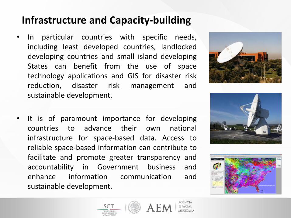
Infrastructure and Capacity-building
• In particular countries with specific needs,including least developed countries, landlockeddeveloping countries and small island developingStates can benefit from the use of spacetechnology applications and GIS for disaster riskreduction, disaster risk management andsustainable development.
• It is of paramount importance for developingcountries to advance their own nationalinfrastructure for space-based data. Access toreliable space-based information can contribute tofacilitate and promote greater transparency andaccountability in Government business andenhance information communication andsustainable development.
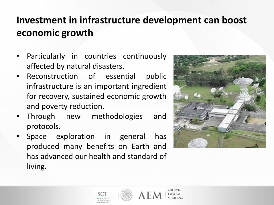
Investment in infrastructure development can boost economic growth
• Particularly in countries continuouslyaffected by natural disasters.
• Reconstruction of essential publicinfrastructure is an important ingredientfor recovery, sustained economic growthand poverty reduction.
• Through new methodologies andprotocols.
• Space exploration in general hasproduced many benefits on Earth andhas advanced our health and standard ofliving.

Examples in Mexico and Latin-America:
• The scope of the International Cooperation among stateinstitutions is projected with the aim of mutual benefit in favor ofdevelopment.
The Mexican Space Agency, derived from various meetings withthe National Oceanic and Atmospheric Administration (NOAA),donated 10 receiving stations to implement the GEONETCastSystem (Remote Perception Tools for Decision Making onEnvironmental Phenomena and Disasters in Latin America and theCaribbean using GOES satellite fleet) in Mexico. The receivingstations were assigned to different entities for the operation andimplementation of this System.

Proposal for Mexican EO network

Examples in Mexico and Latin-America:
• Argentina – The National Space Activities Commission is theagency of the government of Argentina in charge of thenational space program. The national space program provides fortwo satellite series and both are devoted to Earth Observation: one,mainly composed by Argentine instruments, in the optical range(SAC) and the other one in the microwave range (SAOCOM).
• Brazil – The Brazilian Space Agency has several active imageryintelligence satellites in orbit, including reconnaissance and Earthobservation satellites. The China–Brazil Earth Resources SatelliteProgram (CBERS) is a technological cooperation program betweenBrazil and China which is aimed at developing and operating Earthobservation satellites.

Examples in Mexico and Latin-America:
• Venezuela – The Bolivarian Agency for Space Activities hasdeveloped the Venezuelan Remote Sensing Satellite Miranda(VRSS-1), the first Venezuelan remote sensing satellite.The second version was the Satellite VENESAT-1. They have beenused to map the Venezuelan territory and help planningagriculture and disaster recovery. They were built and launchedjointly with China.
• Peru – PeruSat-1 is a very high-resolution Earth observationsatellite system was built for the government of Peru. The satelliteis first of its kind operated by Peru and was launched into Sun-synchronous orbit in September 2016. The prime contractor forthe Peruvian satellite project is Airbus Defense and Space.

Examples in Mexico and Latin-America:
There had been efforts in the Region to develop communicationnetworks where the data and information could be shared. Anexample of these:
Regional Fora:
• Seminar for Latin American Space Agencies, held in October 2013,in Bogotá, Colombia
• Seminar ¨International Space Cooperation as a basis forSustainable Development In Latin America¨, held on July 2014, inBogota, Colombia.
• Seminar for Latin American Space Agencies, held in Lima, Peru, onDecember 2014.

Examples in Mexico and Latin-America:
As a result of the 1st Seminar for Latin American Space Agencies, held in October 2013, in Bogotá,Colombia, it was achieved the following:
Raising awareness on the need for cooperation in space issues by promoting capacitiesand advance in the development of joint projects that allow the appropriation oftechnology for the enhancement and strengthening of Latin American nations.
Developing projects on satellite systems, Earth observation, programs to promotehuman capital and education, early warning systems, technology transfer,telecommunications, launch vehicles, ground infrastructure, security and internationalcooperation.
Fostering the possible creation of an alliance or collaborative partnership among allparticipating countries in order to identify and contribute to the different spaceactivities, aiming at seeking the integration of Latin America in the space sector.
Regardless the efforts described above, there has been a stagnation due to lack of follow-up andcommitment from the parties

Conclusions• While developed countries having satellite technology infrastructure
experience find benefits from such innovations, many other countriesare potentially left behind.
• It is necessary the support from the most experienced institutions todevelop new technologies to address humanity needs.
Natural Disasters Climate change Space weather
• Knowledge transfer and business incubation for developing countries iscrucial.
• It is important for developing countries the creation of fundingprograms or donation programs
• International cooperation allows the creation of agreements for newprojects.
• International best practices for developing hardware and software• Promotion of the use of EO data.• Free access to data.
