2020 census participant statistical areas program (psap ... · •psap’s single point of contact...
TRANSCRIPT

Joshua Coutts Geography DivisionU.S. Census Bureau
2020 Census Participant Statistical Areas Program
(PSAP)Overview

2020 Census PSAP
• Allows invited participants to review and update selected statistical area boundaries for 2020 Census data tabulation using Census Bureau criteria and guidelines.
• The Census Bureau uses the resulting statistical areas for the 2020 Census, the American Community Survey (ACS), and other censuses and surveys.
2

Primary Participating Organization (PPO)
• PSAP’s single point of contact for each participating area • Work is organized by county, but a single PPO may be responsible
for more than one county• 2010 participants are invited by default – finalizing invitations now• Responsibilities
– Receiving and processing materials (maps, etc.)– Can designate separate technical lead (PPT)– Outreach and point of contact for local data stakeholders– Consolidating stakeholder requests– Delivering final project plans– Verification sign-off
3
2020 Census PSAP Statistical Geographies
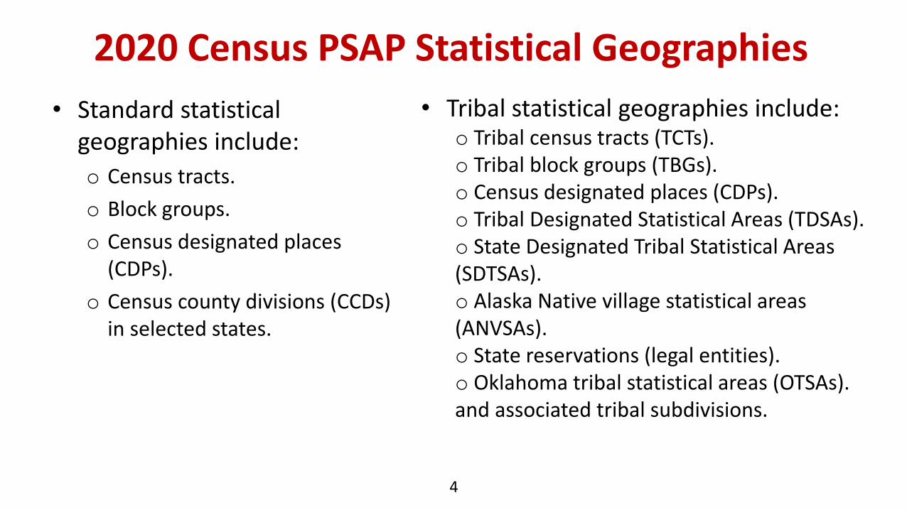
• Standard statistical geographies include:
o Census tracts.
o Block groups.
o Census designated places (CDPs).
o Census county divisions (CCDs) in selected states.
4
• Tribal statistical geographies include:o Tribal census tracts (TCTs).o Tribal block groups (TBGs).o Census designated places (CDPs).o Tribal Designated Statistical Areas (TDSAs).o State Designated Tribal Statistical Areas (SDTSAs).o Alaska Native village statistical areas (ANVSAs).o State reservations (legal entities).o Oklahoma tribal statistical areas (OTSAs).and associated tribal subdivisions.
2020 Census PSAP Criteria
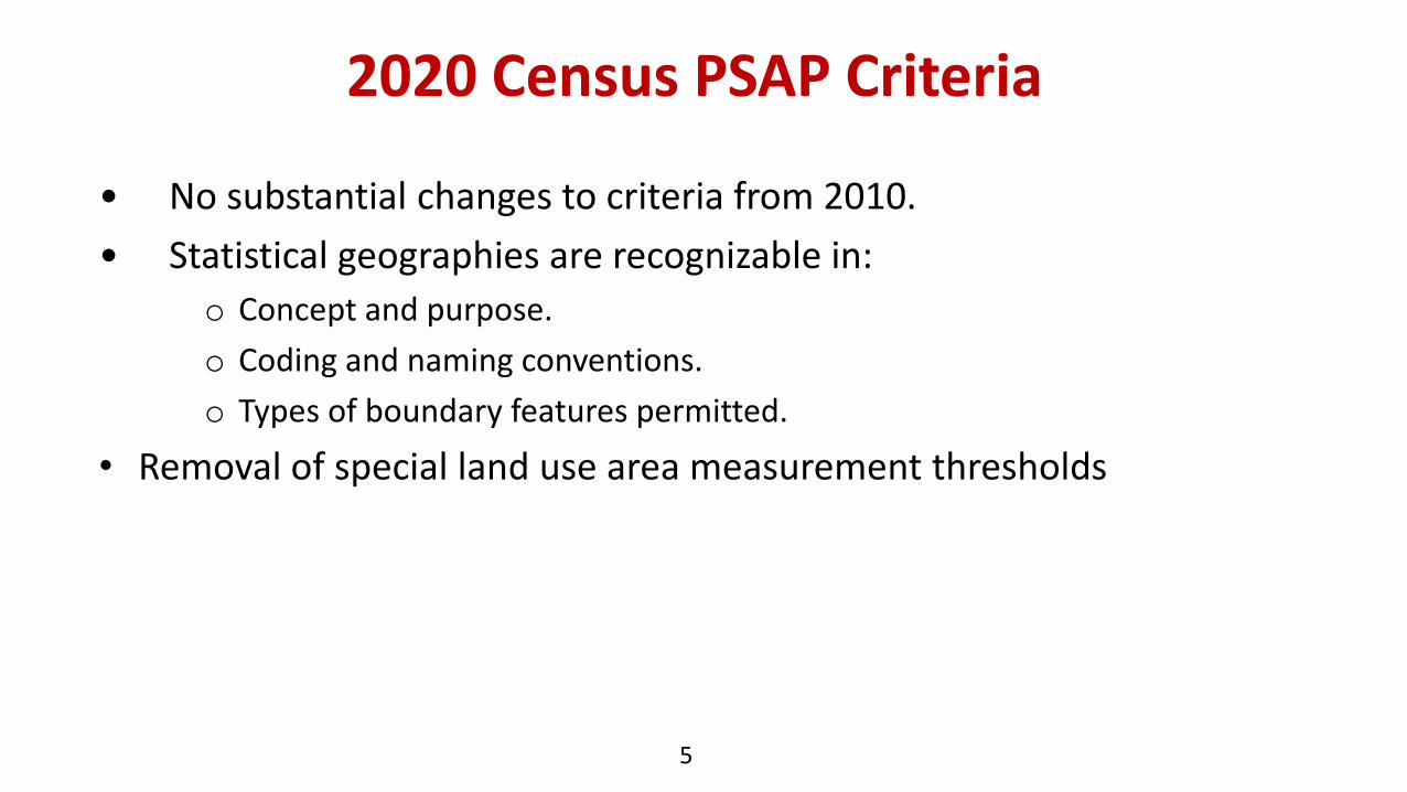
• No substantial changes to criteria from 2010.
• Statistical geographies are recognizable in:
o Concept and purpose.
o Coding and naming conventions.
o Types of boundary features permitted.
• Removal of special land use area measurement thresholds
5

6
Block Groups
Type Characteristics Nationalcoverage?
Nests within:
Population threshold
Housing Threshold
Standard county based and tribal reservation based
Form the geographic framework withinwhich census blocks are numbered.Smallest area for which demographic statistics are produced from the American Community Survey (ACS).
Yes Census tracts
Minimum: 600Maximum: 3000
Minimum: 240Maximum: 1200
Special land use Distinguish areas of little or no population that have a specific type ofland use AND are coextensive with a special land use census tract.
Large water bodies.
No Census tracts
Little/None or must be within standard block groups thresholds.
Area measurement thresholds are no longer applicable for special land use block groups.

2020 Census PSAP Delineation• Substantial changes to the review and update process of these statistical
geography boundaries.
• 2010 Statistical geographies reviewed and updated by Census Bureau (Pre-SAP) for adherence to:
o Published criteria and guidelines.
o Coding and naming conventions.
o Optimal boundary feature use.
• Invited participants will have the following options:
o Accept the Census Bureau’s 2020 Census proposed statistical areas.
o Update the 2020 Census proposed statistical areas.
o Use the 2010 Census statistical area geography as a base to make updates.
7
2020 Census Pre-SAP Process
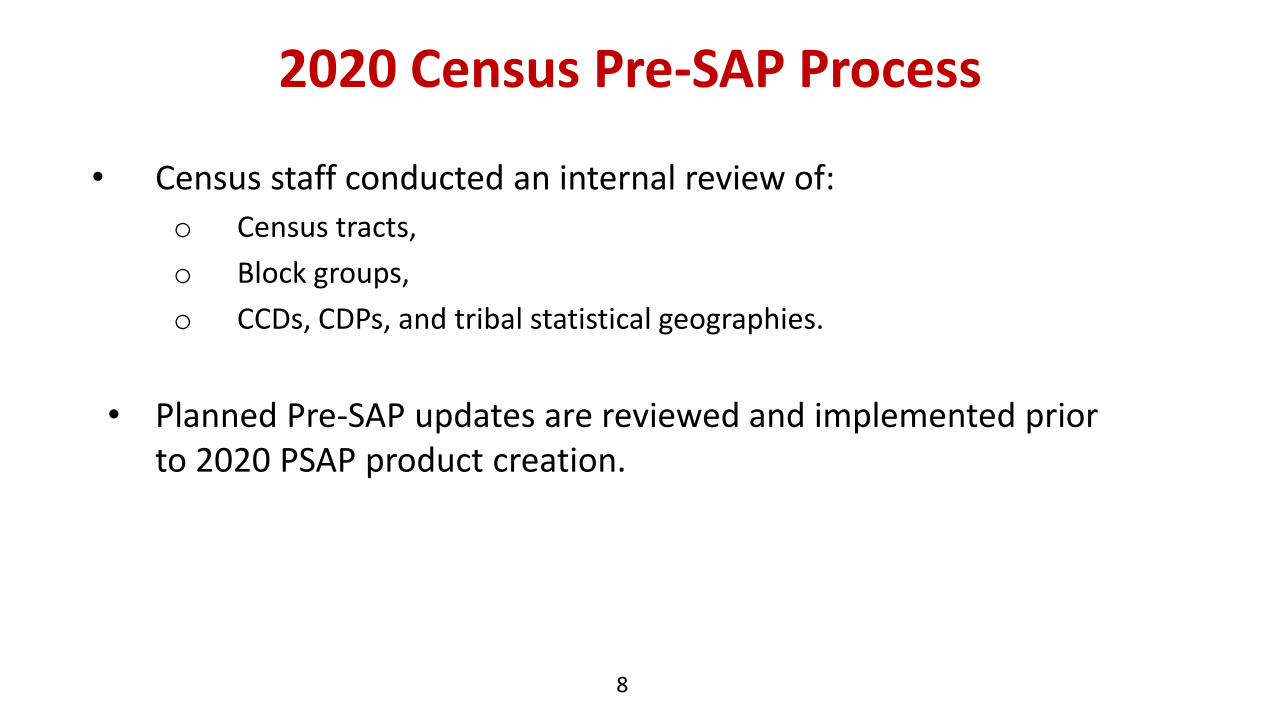
• Census staff conducted an internal review of:
o Census tracts,
o Block groups,
o CCDs, CDPs, and tribal statistical geographies.
• Planned Pre-SAP updates are reviewed and implemented prior to 2020 PSAP product creation.
8

2020 Pre-SAP Process
9
Purple: Census tract
Erroneous Water Feature ‘Appendage’
• Erroneous Water Feature
• ‘Appendage’
• Shifting Between Invisible Features
Tract Boundary Review
2020 Pre-SAP Process
10
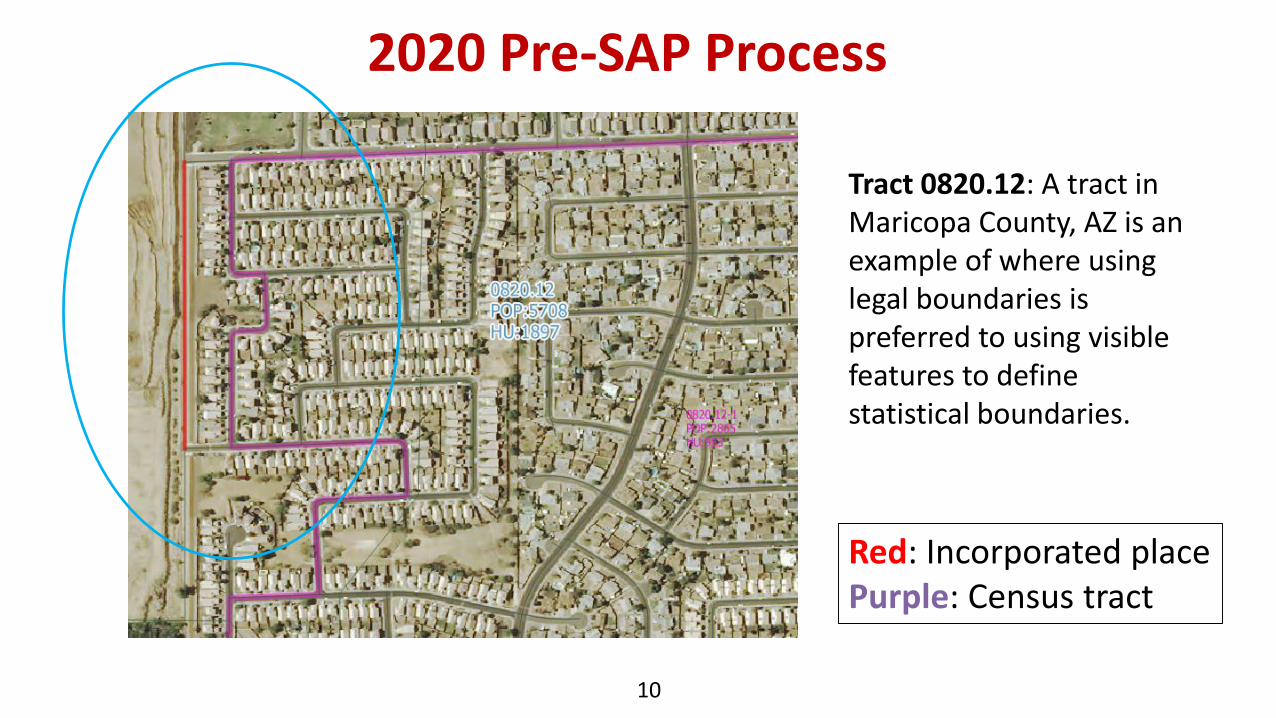
Tract 0820.12: A tract in Maricopa County, AZ is an example of where using legal boundaries is preferred to using visible features to define statistical boundaries.
Red: Incorporated place Purple: Census tract

Lillian, ALNumerous named features (restaurants, churches, post office) recognition on county parcel viewer as a place.From the County Parcel Viewer:
Proposed boundary. Parcels and linear features will make up most of the boundary. Tract/BG boundaries (not shown) will be used in the water as the southern and eastern boundaries
CDP Identification and Delineation (HQ)

CDP Review
12
• Approximately 10,000 current CDPs for review.
• Checking for gaps, slivers, and other necessary boundary updates.

Geographic Update Partnership Software (GUPS)
• Developed in-house for use with Census geographic partnership programs
• Built on QGIS 2.18.15
13

14
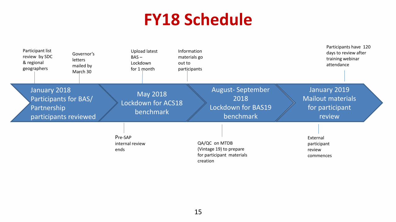
FY18 Schedule
15
May 2018Lockdown for ACS18
benchmark
August- September 2018
Lockdown for BAS19 benchmark
January 2019Mailout materials
for participant review
January 2018Participants for BAS/ Partnership participants reviewed
Governor’s letters mailed by March 30
Participant list review by SDC & regional geographers
Upload latest BAS –Lockdown for 1 month
QA/QC on MTDB (Vintage 19) to prepare for participant materials creation
Pre-SAPinternal review ends
External participant reviewcommences
Participants have 120 days to review after training webinar attendance
Information materials go out to participants

2020 Census PSAP ScheduleTimeframe Activity
March – May 2018 Establish the 2020 PSAP participant list.
July 2018 PSAP Invitation materials sent to PSAP Participants.
January 2019Delineation Phase begins. Participants have 120 calendar days to submit updates.
February 2019 Webinar trainings begin.
July 2019 Participants notified of delineation phase closeout.
January 2020Verification phase begins. Participants have 90 calendar days to review updates.
May 2020 Final PSAP updates complete for ACS21 Benchmark
16

17
https://gis-portal.data.census.gov/arcgis/apps/MapTools/index.html?appid=b3d1bcc5fadb437982a3cbc659572bc4

18
https://www.census.gov/programs-surveys/decennial-census/about/psap.html

Primary Participant Expectations
• To review and update statistical areas for the 2020.• Conduct outreach within their participation area with other data
organization.• Solicit input on draft delineations from local data stakeholders.• County based participants will use GUPS to review and modify their
updates.• Tribal participants may use paper maps to provide updates.• Participate in final verification processes.• Answer questions from local stakeholders.• Allow for the posting of their contact information on the USBOC
PSAP website.
19
