1 “ u.s. aids to navigation – road signs of the waterways”
TRANSCRIPT

11
“ “ U.S. Aids to Navigation – U.S. Aids to Navigation – Road Signs of the Waterways”Road Signs of the Waterways”

22
DirectionsDirections U.S. Aids to NavigationU.S. Aids to Navigation Buoys: Buoys:
U.S. Aids to Navigation: The Lateral SystemU.S. Aids to Navigation: The Lateral System Port & StarboardPort & Starboard
Answer Slides IndexAnswer Slides Index Extension: Navigation RulesExtension: Navigation Rules The End – a Discussion about ActivityThe End – a Discussion about Activity ReferencesReferences

33
Read the website that is referenced for Read the website that is referenced for each section. each section.
Close off the article when you have Close off the article when you have finished reading the information. finished reading the information.
Then take the quiz! See what you can Then take the quiz! See what you can remember.remember.
Then go to Then go to The EndThe End and participate in a and participate in a group discussion if possible!group discussion if possible!

44
U.S. Aids to Navigation - overviewU.S. Aids to Navigation - overview
Read this overview of the Read this overview of the U.S. Aids to Navigation U.S. Aids to Navigation and then answer and then answer the following questions on it! the following questions on it!

55
Question 1. - U.S. Aids to NavigationQuestion 1. - U.S. Aids to Navigation
1. Why and with what system are “1. Why and with what system are “The The waters of the United States and its waters of the United States and its territories” marked with navigational aids? territories” marked with navigational aids?
a. To assist navigation by the U.S. Aids to a. To assist navigation by the U.S. Aids to Navigation SystemNavigation System
b. To show who owns the waters and where not b. To show who owns the waters and where not to trespass, Water Ownership Systemto trespass, Water Ownership System

66
Question 2. - Navigation ToolsQuestion 2. - Navigation Tools
2. What additional tool is intended for 2. What additional tool is intended for use with the U.S. Aids to Navigation use with the U.S. Aids to Navigation System? System?
a. Aa. A Rules of the Road Rules of the Road Handbook Handbook
b. Nautical Chartsb. Nautical Charts
c. Compassc. Compass
77
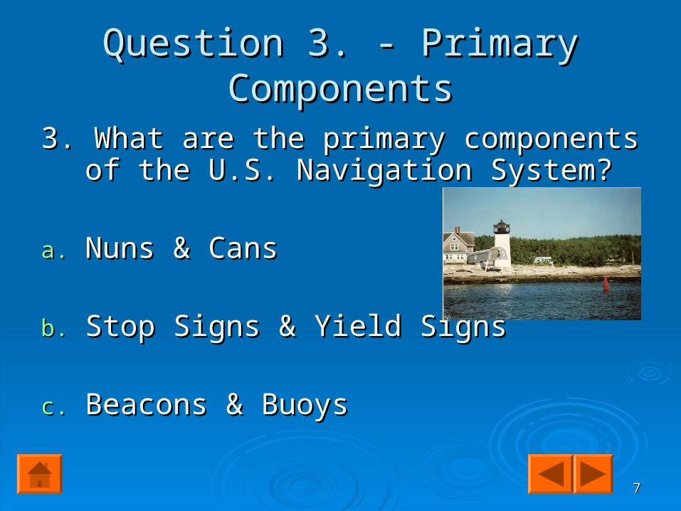
Question 3. - Primary ComponentsQuestion 3. - Primary Components
3. What are the primary components of the 3. What are the primary components of the U.S. Navigation System?U.S. Navigation System?
a.a. Nuns & CansNuns & Cans
b.b. Stop Signs & Yield SignsStop Signs & Yield Signs
c.c. Beacons & BuoysBeacons & Buoys

88
About BuoysAbout Buoys Review the following website about Review the following website about
Navigation Aids – the Lateral SystemNavigation Aids – the Lateral System (as seen (as seen entering from seaward) &entering from seaward) &
Read about Port and Starboard in the the first Read about Port and Starboard in the the first section of this article: section of this article: Port & StarboardPort & Starboard
(Click on (Click on Port & StarboardPort & Starboard for a definition.) for a definition.)
Then answer the following questions. Then answer the following questions.

99
Question 4. - Buoys Question 4. - Buoys
4. How are buoys attached in the ocean 4. How are buoys attached in the ocean and estuaries? and estuaries?
a. Permanently fixed to the earth’s surfacea. Permanently fixed to the earth’s surface
b. Floating & Moored by anchorsb. Floating & Moored by anchors

1010
Question 5. - BeaconsQuestion 5. - Beacons
5. How are beacons attached in the ocean 5. How are beacons attached in the ocean & estuaries? & estuaries?
a. Permanently fixed to the earth’s surfacea. Permanently fixed to the earth’s surface
b. Floating & Moored by anchorsb. Floating & Moored by anchors

1111
Question 6. - Port & StarboardQuestion 6. - Port & Starboard
6. Which is correct? 6. Which is correct?
a.a. Facing the front of a ship or an airplane, Facing the front of a ship or an airplane, PortPort is the left side and is the left side and StarboardStarboard is the is the right side. right side.
b.b. Facing the front of a ship or an airplane,Facing the front of a ship or an airplane,
Port Port is the right side and is the right side and StarboardStarboard is the is the left side. left side.

1212
Question 7. - Navigational BuoysQuestion 7. - Navigational Buoys
7. Which is correct – when returning to a 7. Which is correct – when returning to a harbor? harbor?
a. Port side buoys have even numbers and a. Port side buoys have even numbers and Starboard side buoys have odd numbers. Starboard side buoys have odd numbers.
b. Port side buoys have odd numbers and b. Port side buoys have odd numbers and Starboard side buoys have even numbers. Starboard side buoys have even numbers.

1313
Question 8. - Colors of Question 8. - Colors of Port & Starboard, Cans & NunsPort & Starboard, Cans & Nuns
8. Which is correct? 8. Which is correct?
A. Port & Cans are green; Starboard & A. Port & Cans are green; Starboard & Nuns are red.Nuns are red.
B. Port & Cans are red; Starboard & Nuns B. Port & Cans are red; Starboard & Nuns are green. are green.
1414
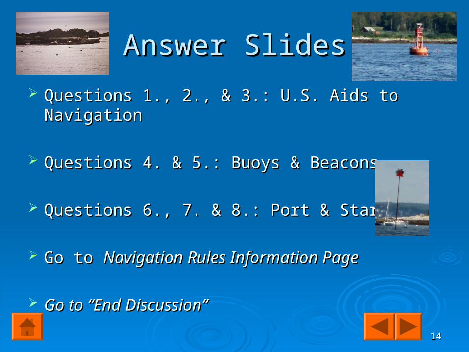
Answer SlidesAnswer Slides
Questions 1., 2., & 3.: U.S. Aids to NavigationQuestions 1., 2., & 3.: U.S. Aids to Navigation
Questions 4. & 5.: Buoys & BeaconsQuestions 4. & 5.: Buoys & Beacons
Questions 6., 7. & 8.: Port & StarboardQuestions 6., 7. & 8.: Port & Starboard
Go to Go to Navigation Rules Information PageNavigation Rules Information Page
Go to “End Discussion”Go to “End Discussion”

1515
Answer: 1.-Answer: 1.- a. - a. - U.S. Aids To U.S. Aids To Navigation SystemNavigation System
The waters of the United States and its territories The waters of the United States and its territories are marked to assist navigation by the U.S. Aids to are marked to assist navigation by the U.S. Aids to Navigation System. This system employs a simple Navigation System. This system employs a simple arrangement of colors, shapes, numbers and light arrangement of colors, shapes, numbers and light characteristics to mark navigable channels, waterways characteristics to mark navigable channels, waterways and obstructions adjacent to these. and obstructions adjacent to these.
BACKBACK Next QuestionNext Question

1616
Answer: 2 - Nautical ChartsAnswer: 2 - Nautical Charts2-b: 2-b: Nautical ChartsNautical Charts
Charts are one of the most important tools used Charts are one of the most important tools used by boaters for planning trips and safely by boaters for planning trips and safely navigating waterways. Charts show the nature navigating waterways. Charts show the nature and shape of the coast, buoys and beacons, and shape of the coast, buoys and beacons, depths of water, land features, directional depths of water, land features, directional information, marine hazards and other pertinent information, marine hazards and other pertinent information. This valuable information cannot be information. This valuable information cannot be obtained from other sources, such as a road obtained from other sources, such as a road map or atlas.map or atlas.
Next QuestionNext QuestionBack

1717
Answer: 3 - Beacons & BuoysAnswer: 3 - Beacons & Buoys
3.- C. 3.- C. Back Back Lighthouses are Beacons Lighthouses are Beacons && Nuns are BuoysNuns are Buoys
Hendrick’s Head Hendrick’s Head Lighthouse & Nun, Lighthouse & Nun, Sheepscot River, Sheepscot River, Southport IslandSouthport Island
Resources for Next Questions

1818
Answer: 4. - BuoysAnswer: 4. - Buoys
4. – Buoys are floating aids that come in many shapes and sizes. They are moored to the seabed by concrete sinkers with chain or synthetic rope moorings of various lengths connected to the buoy body. They are intended to convey information to the boater by their shape or color, by the characteristics of a visible or audible signal, or a combination of two or more such
features.
Back Next Question

1919
Answer: 5. - Beacons Answer: 5. - Beacons
5. – 5. – Beacons are aids to navigation structures that are permanently fixed to the earth's surface. They range from lighthouses to small, single-pile structures and may be located on land or in the water. Lighted beacons are called lights; unlighted beacons are called daybeacons. Beacons exhibit a daymark to make them readily visible and easily identifiable against background conditions. Generally, the daymark conveys to the boater, during daylight hours, the same significance as does the aid's light or reflector at night.
Back Next Question

2020
Answer: 6. - Port & StarboardAnswer: 6. - Port & Starboard
6. – A. 6. – A. Facing the bow of the ship ~ Port is Facing the bow of the ship ~ Port is the left and Starboard is the right. the left and Starboard is the right.
Next QuestionNext QuestionBack

2121
Answer: 7. - Navigational BuoysAnswer: 7. - Navigational Buoys
7. – B. Port side Aids have odd numbers; 7. – B. Port side Aids have odd numbers; Starboard side Aids have even numbers.Starboard side Aids have even numbers.
Burnt Island Lighthouse & CanBurnt Island Lighthouse & Can
BackBack
Next QuestionNext Question

2222
Answer: 8. - Colors of Answer: 8. - Colors of Port & Starboard, Cans & NunsPort & Starboard, Cans & Nuns
8. – A. Cans are Green8. – A. Cans are Green
& Nuns are Red& Nuns are Red
Hendrick’s Head Lighthouse & NunHendrick’s Head Lighthouse & Nun
BackBack
Go to Navigation Rules Information LinksGo to Navigation Rules Information Links

2323
Sorry!!Sorry!!
I am sorry – your answer was I am sorry – your answer was incorrect…. incorrect….
Please Try Again!Please Try Again!
Click here to go Click here to go Back Back to your to your Question.Question.

2424
Navigation Rules Navigation Rules - - If you are interested… If you are interested… you will learn more about this later! you will learn more about this later!
The Navigation Rules are much like the rules of the road on the highway. They establish a consistent way to navigate safely and avoid collisions when two boats are crossing paths, are on course to meet head-on, or when one boat wishes to overtake another.
To review or download the Navigation Rules -click here: U.S. Coast Guard's Navigation Rules
Go to Go to The End! The End!

2525
How did you do? Did you learn something? How did you do? Did you learn something? Would you like to go boating on the ocean and Would you like to go boating on the ocean and become a sea captain? There are many careers become a sea captain? There are many careers out there – related to the ocean. The Coast out there – related to the ocean. The Coast Guard and Navy are two that may interest you Guard and Navy are two that may interest you and many private shipping firms and tugboat and many private shipping firms and tugboat companies. Working for the Portland Cruise Line companies. Working for the Portland Cruise Line is fun (and hard work) too. is fun (and hard work) too. Have a class Have a class discussion!discussion!
For References – click forward button.For References – click forward button.

2626
1. U.S. Aids to Navigation http://http://www.uscgboating.org/safety/aton/system.htmwww.uscgboating.org/safety/aton/system.htm
2. Navigation Aids – the Lateral System2. Navigation Aids – the Lateral System http://http://
www.uscgboating.org/safety/aton/lateral.htmwww.uscgboating.org/safety/aton/lateral.htm 3. Port and Starboard3. Port and Starboard http://http://www.njscuba.net/artifacts/misc_terms.htmlwww.njscuba.net/artifacts/misc_terms.html 4. 4. U.S. Coast Guard's Navigation Rules http://
www.navcen.uscg.gov/mwv/navrules/navrules.htm