1. systems, science, and study. outline what is geographic information? definition of data,...
TRANSCRIPT

1. Systems, Science, and Study

Outline
What is geographic information?Definition of data, information, knowledge and wisdomKinds of decisions that use geographic informationWhat is geographic information science?How do scientists use GIS?

Why GIS Matters
Almost everything happens somewhereKnowing where some things happen is critically important
Position of country boundariesLocation of hospitalsRouting delivery vehiclesManagement of forest standsAllocation of funds for sea defenses


Store location principles are very important in the developing markets of Europe, as with Tesco’s successful investment in Budapest, Hungary


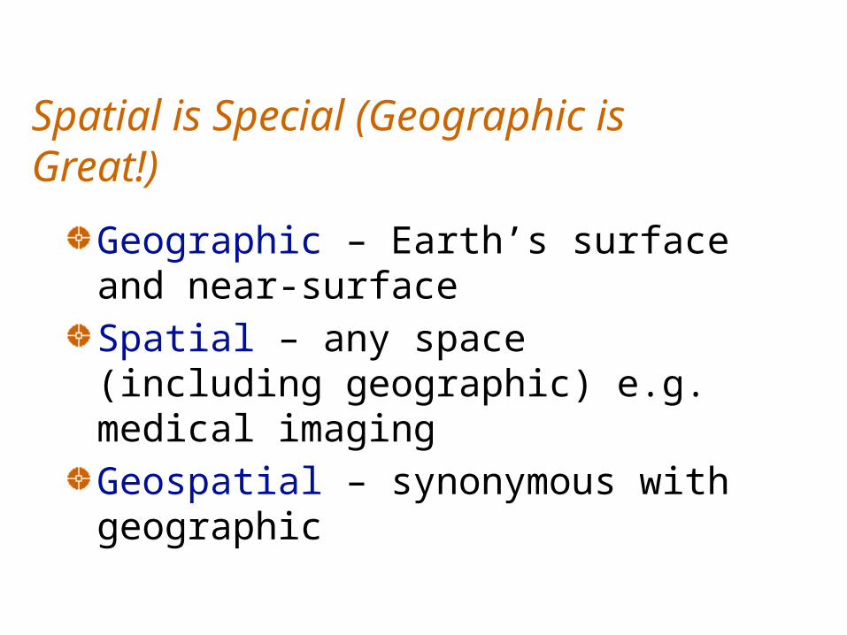
Spatial is Special (Geographic is Great!)
Geographic – Earth’s surface and near-surfaceSpatial – any space (including geographic) e.g. medical imagingGeospatial – synonymous with geographic

GI is SpecialMultidimensionalVoluminousRequires projection to flat surfaceUnique analysis methodsAnalyses require data integrationData updates are expensive and time consumingMap displays require fast data retrieval
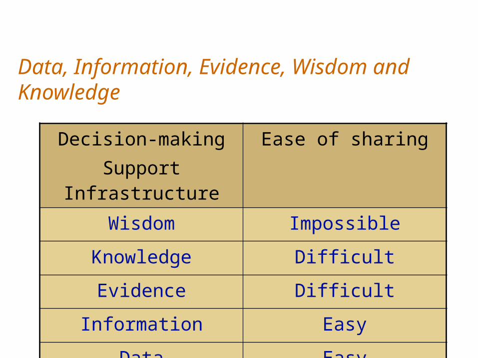
Data, Information, Evidence, Wisdom and Knowledge
Decision-makingSupport
Infrastructure
Ease of sharing
Wisdom Impossible
Knowledge Difficult
Evidence Difficult
Information Easy
Data Easy
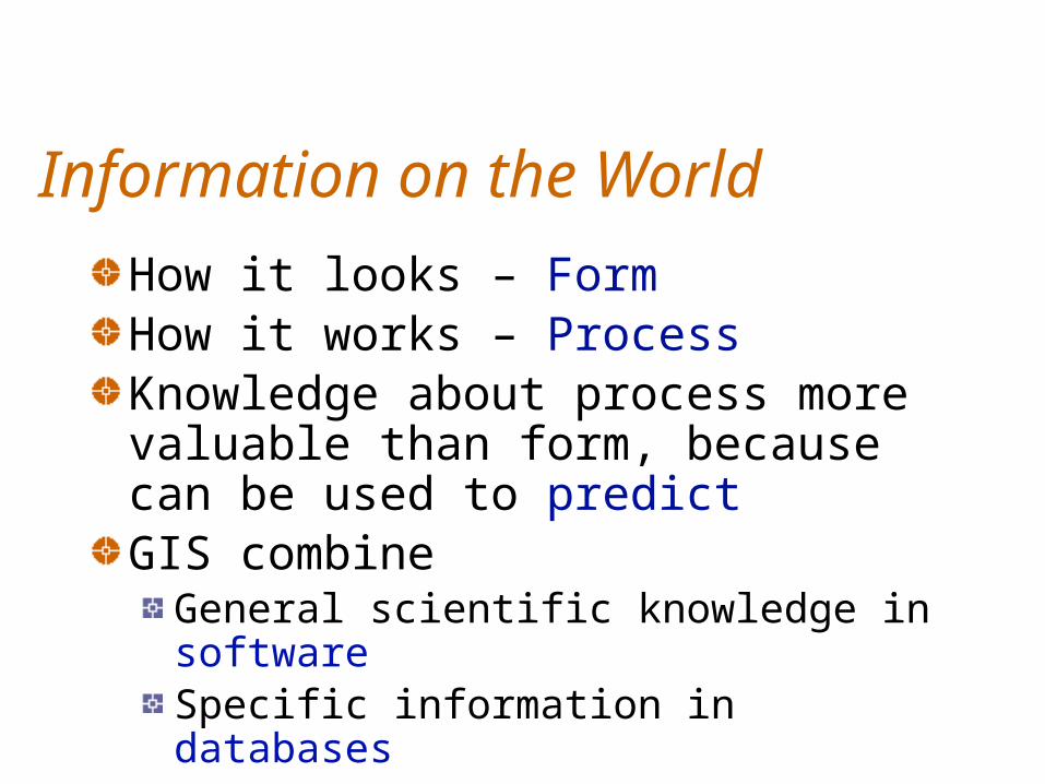
Information on the World
How it looks – FormHow it works – ProcessKnowledge about process more valuable than form, because can be used to predictGIS combine
General scientific knowledge in softwareSpecific information in databases

Forms of General Knowledge
Classifications - e.g. what is a wetland? (established rules)Rule sets - e.g. how can wetlands be used, how wilderness definedLaws - e.g. Newton Laws of Motion predict the way in which all matter (e.g. planets) behaveGeography laws are of much lower precision, e.g. spatial interaction models

Problem Solving
Components and stagesObjective or goal - often maximize or minimize (cost, distance)Tangible (well defined scale) vs intangible - e.g. quality of life, environmental impactMultiple objectives - e.g. cost and environmental impact
Multi-criteria decision-making techniques
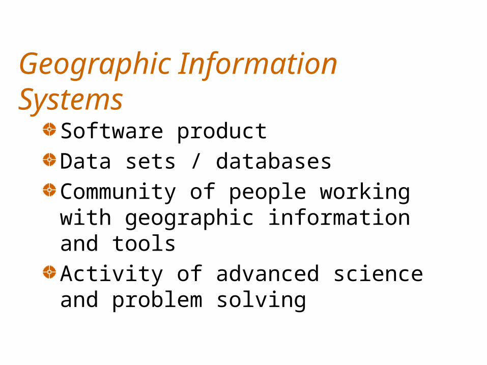
Geographic Information Systems
Software productData sets / databasesCommunity of people working with geographic information and toolsActivity of advanced science and problem solving
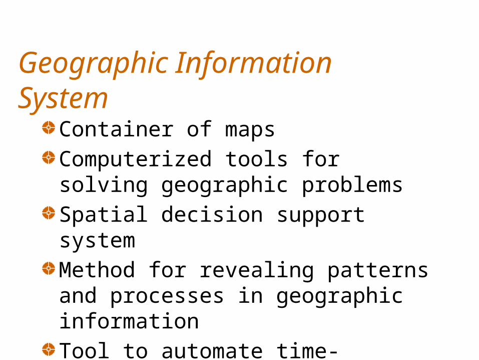
Geographic Information System
Container of mapsComputerized tools for solving geographic problemsSpatial decision support systemMethod for revealing patterns and processes in geographic informationTool to automate time-consuming tasks
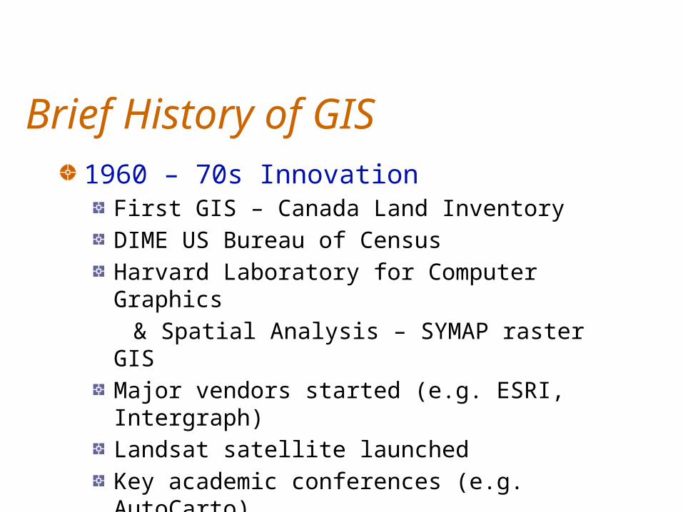
Brief History of GIS1960 – 70s Innovation
First GIS – Canada Land InventoryDIME US Bureau of Census Harvard Laboratory for Computer Graphics
& Spatial Analysis – SYMAP raster GISMajor vendors started (e.g. ESRI, Intergraph)Landsat satellite launchedKey academic conferences (e.g. AutoCarto)
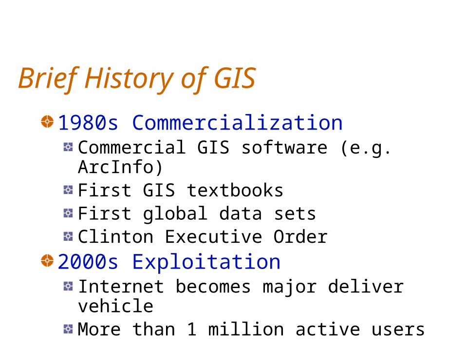
Brief History of GIS
1980s CommercializationCommercial GIS software (e.g. ArcInfo)First GIS textbooksFirst global data setsClinton Executive Order
2000s ExploitationInternet becomes major deliver vehicleMore than 1 million active users


Routing
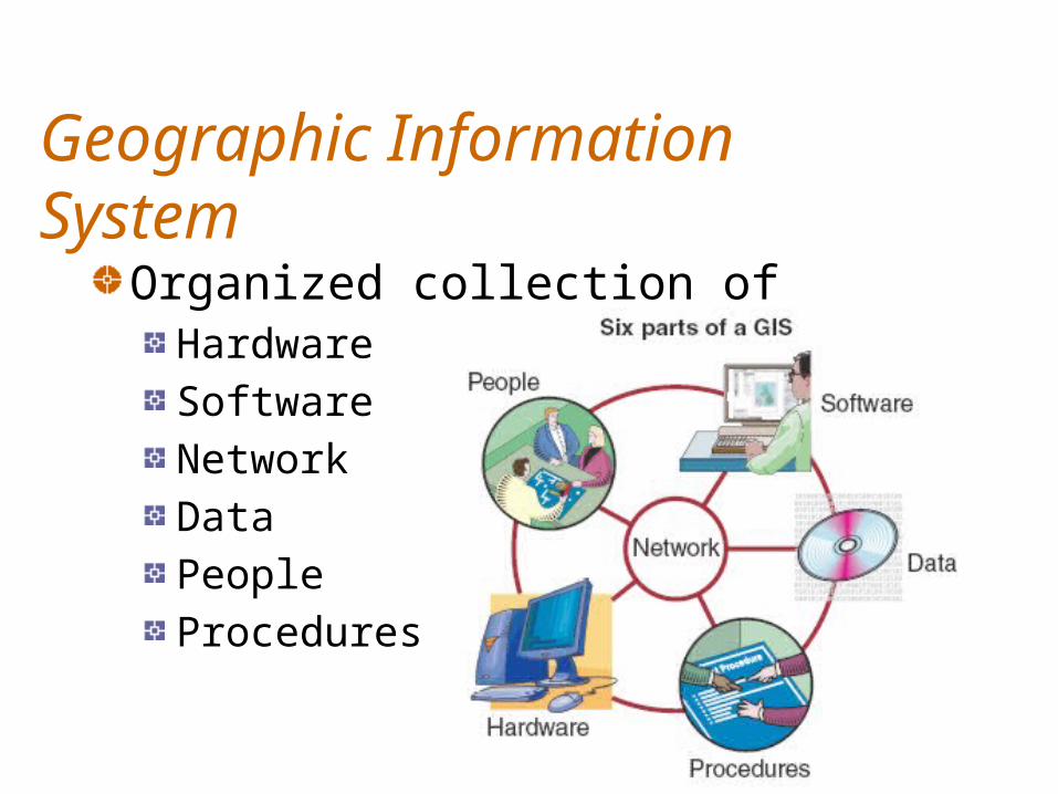
Geographic Information System
Organized collection ofHardwareSoftwareNetworkDataPeopleProcedures
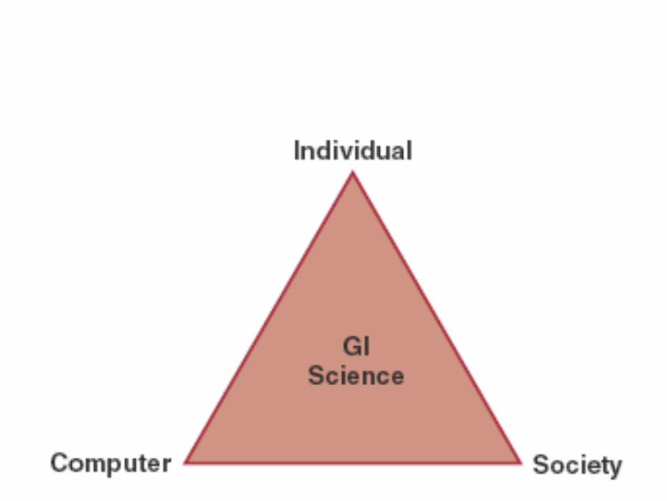

GISystems, GIScience and GIStudiesGISystems
Emphasis on technology and tools
GIScienceFundamental issues raised by the use of GIS and related technologies (e.g.)• Spatial analysis• Map projections• Accuracy• Scientific visualization
GIStudiesSystematic study of the use of geographic information
Summary
GIS is a science based on extensive technology applicationUnique perspective for examining patterns and processes on the Earth’s surfaceFrom origins in 1960s now a multi-$bn industryWidely studied in schools and universities as part of many discipline curricula