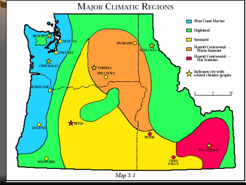
1) coastal 2) western lowlands 3) western cascade mountains 4) eastern cascades mountains 5)...
TRANSCRIPT


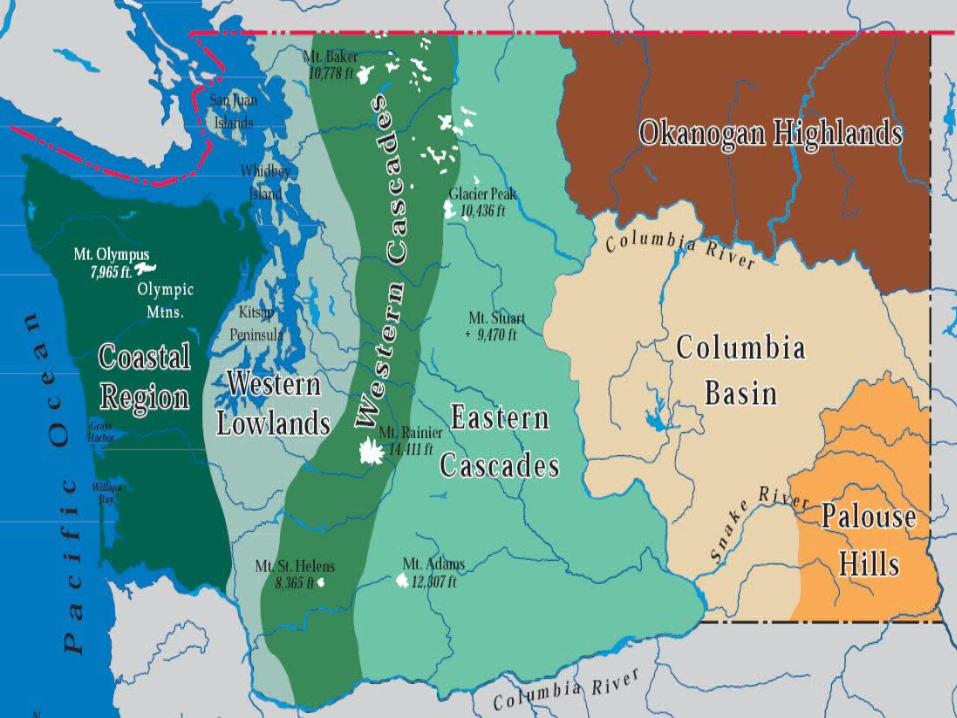
1) Coastal 2) Western Lowlands 3) Western Cascade Mountains 4) Eastern Cascades Mountains 5) Columbia Basin 6) Okanogan Highlands 7) Palouse Hills

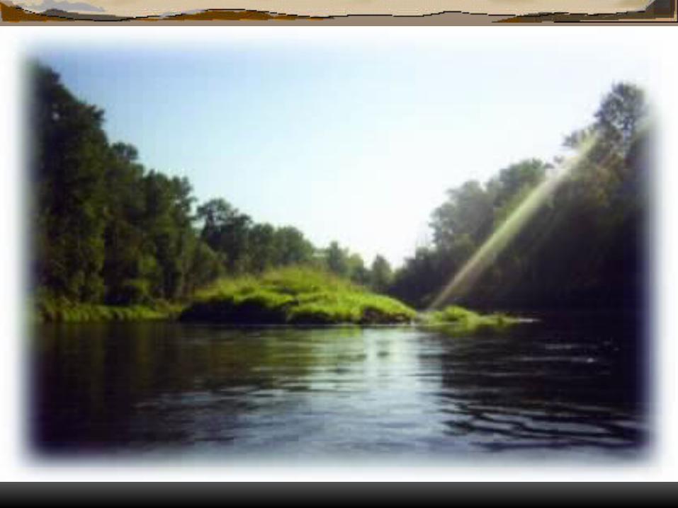
lies along the western coastline of the United States
This long and very narrow region, is only 40 to 70 miles(65 to 110 km) wide
extends south from the Olympic Peninsula from the Strait of Juan de Fuca


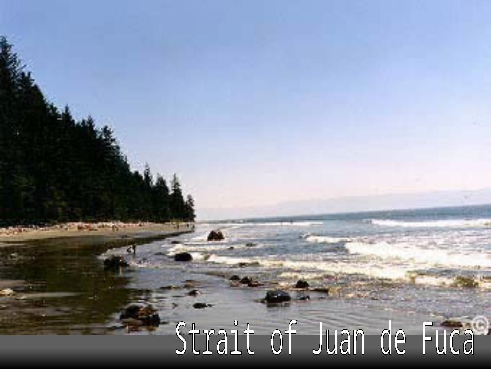
Strait of Juan de Fuca snow-capped Olympic Mountains evergreen rain-forested Olympic Peninsula broad sandy ocean beaches, Klamath-Siskiyou Grays Harbor-Chehalis River lowland Willapa Bay and Willapa Hills mouth of the Columbia River Tillamook Bay Northern Coastal Range Coos Bay Rogue and Umpqua rivers Astoria, Oregon Port Angeles, Aberdeen

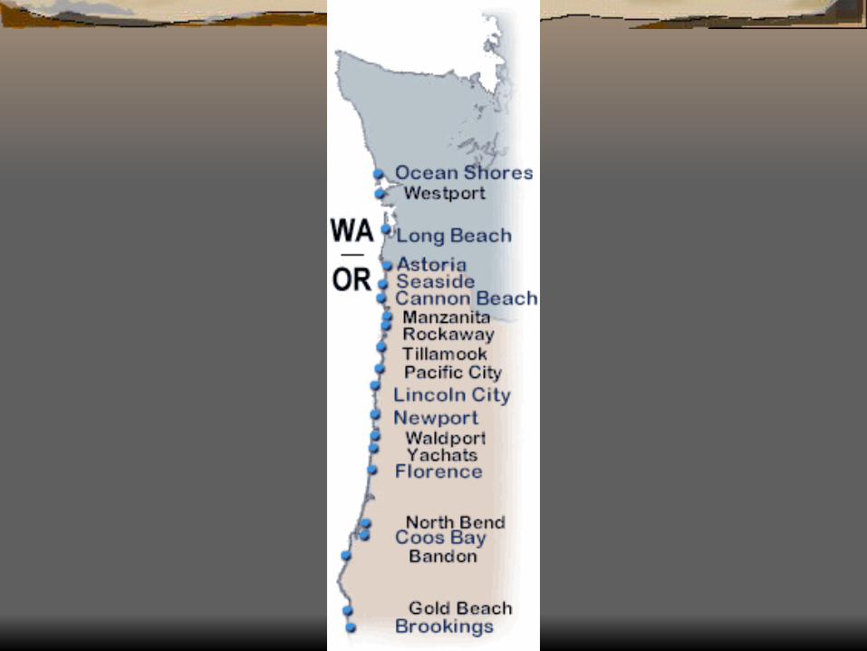
Coastlines Six major indentations:
Coos BayTillamook Baythe mouth of the Columbia RiverWillapa BayGrays Harborthe Strait of Juan de Fuca.


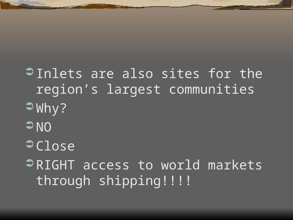
Inlets are also sites for the region’s largest communities
Why? NO Close RIGHT access to world markets through
shipping!!!!

Topography Normally most coastal areas are near sea level Not true in the Pacific Northwest Elevations approach nearly 8,000 feet The region’s profile is bell-shaped. The profile begins at sea level, climbs to the top
of the Olympic Mountains and the Coastal Range, then rapidly descends to nearly sea level again.


Climate Because of off shore warm currents British
Columbia, and southern Alaskan (coast-lines), have a very mild, but moist climate throughout the year.
This climate provides lush vegetation and supports dense coniferous (softwood) forests.
Extensive ever-green forests cover the Coastal Region except were development has taken place.


Temperature The Coastal Region’s climate is the most
moderate in the Pacific Northwest Winter 3°F and 5°F Summer 5°F to 7°F With lots of rain fall

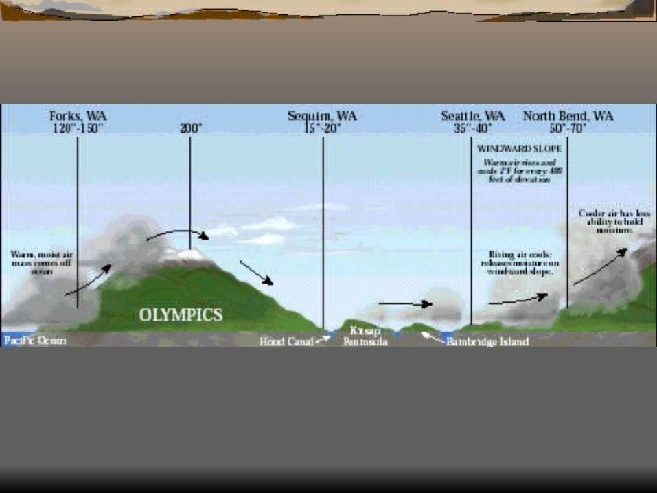
Precipitation Coastal Region greatly exceeds the norm
in the Pacific Northwest and the western United States.
40 inches (101 cm) a year 200 inches (508 cm) of rainfall annually
in the Olympic Mountains Rain shadow


Economic Activities One result of the region’s mild rainy cli-
mate is the abundance and variety of plant and animal life.
main economic activities include fishing, forestry, general farming, and tour-ism.

located between the mountains and hills of the Coastal Region and the Cascade Range.
extends about 400 miles (640 km) north to south but is only 50 to 70 miles (80 to 110 km) wide
The region is the most heavily populated, urbanized, and industrialized in the Pacific Northwest.


The Western Lowlands are made up of three large subregions: 1) the Puget Sound Trough 2) the Chehalis-Cowlitz-Columbia river
valleys 3) the Willamette River Valley
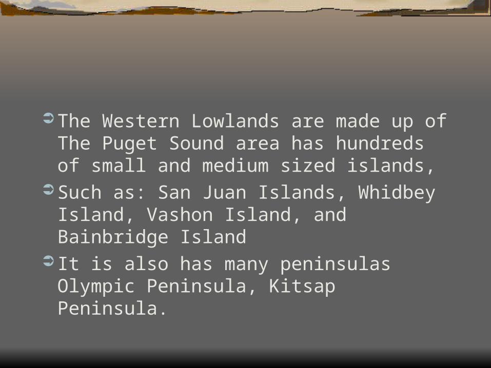
The Western Lowlands are made up of The Puget Sound area has hundreds of small and medium sized islands,
Such as: San Juan Islands, Whidbey Island, Vashon Island, and Bainbridge Island
It is also has many peninsulas Olympic Peninsula, Kitsap Peninsula.

Puget Sound Trough located in western Washington It is a densely populated fertile lowland
that is a hub of economic activity. Major urban areas such as
Seattle,Tacoma, Bellevue, Bremerton, Bellingham, Everett, and Olympia
All are centers of urban and industrial activities.


Due to glacial erosion, Puget Sound has an irregular shoreline and numerous deep, sheltered harbors such as:
Hood Canal-Bangor, Elliott Bay-Seattle, Commencement Bay-Tacoma, Everett, Bremerton, Olympia, Anacortes, and Bellingham.


Chehalis-Cowlitz River Valleys The second subregion within the West-
ern Lowlands contains three major river valleys:
1) Chehalis River 2) Cowlitz River the Columbia River Gorge Why are these regions not as populated?

Willamette Valley the third subregion The Willamette River Valley was the
historic objective of thousands of early pioneers.
The Willamette River produced a broad fertile valley that is a prime agricultural region.


Willamette Valley cities as Portland, Eugene,Salem,
Springfield, Beaverton, Corvallis, Al-bany, Lake Oswego, Gresham.


Physical Terrain elevation ranges from sea level to about
1,000 feet (305 m). This region is physically unique because
of its many river valleys and flood plains. Thus, the total precipitation is generally less.
Climate Marine West Coast The region receives slightly less
precipitation than the Coastal Region.


Precipitation The Western Lowlands lie in the rainshadow of the
Coastal Range and Olympic Mountains. precipitation is generally less than on the windward
slopes average annual rainfall ranges from 15 inches (38
cm) at Sequim,and Eugene. 100 inches (254 cm) in the western foothills of the
Cascade Mountains The region’s average is about 40 inches (100 cm)
annually.

Temperature Winter temperatures range from 3°F to
5°F summer temperatures generally range
between 6°F and 8°F The Western Lowlands economy is be-
coming more industrialized.
Economic Activities Climate encourages vegetables, berries, flower bulbs, fruits, nuts,
nursery plants and shrubs, some grains, dairy products, and beef.
Western Lowlands economy is be-coming more industrialized.
Western Lowlands economy is be-coming more industrialized transportation equipment, electronics, and high technology


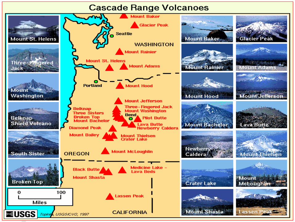
Just east of the Western Lowlands, also lying along a north-south axis, are the Cascade Mountains.
They extend from southern British Columbia, Canada, through the states of Washington and Oregon and end in northern California.


Natural Barrier a formidable physical, climatic, and
transportation barrier. averaging about 6,000 feet (1,800 m) in
elevation with many volcanic peaks above 10,000 feet (3,000 m)
Cascade Range has only a few low mountain passes and only one major lowland, where the Columbia River cuts through the Columbia Gorge.
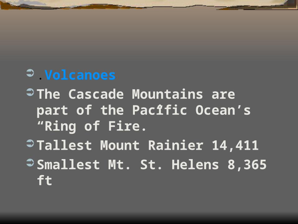
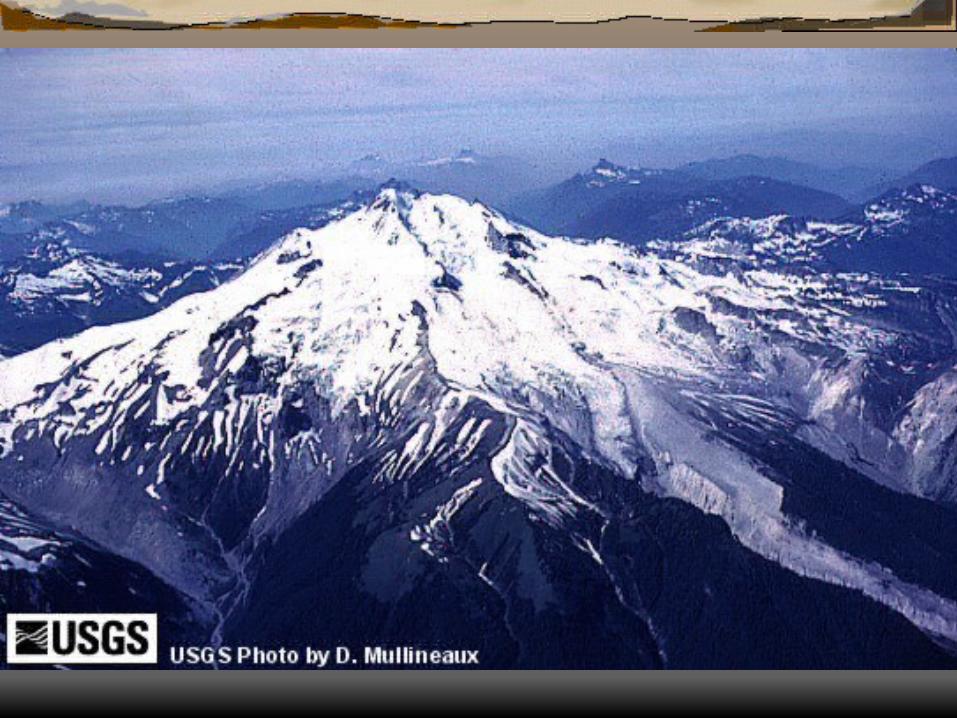
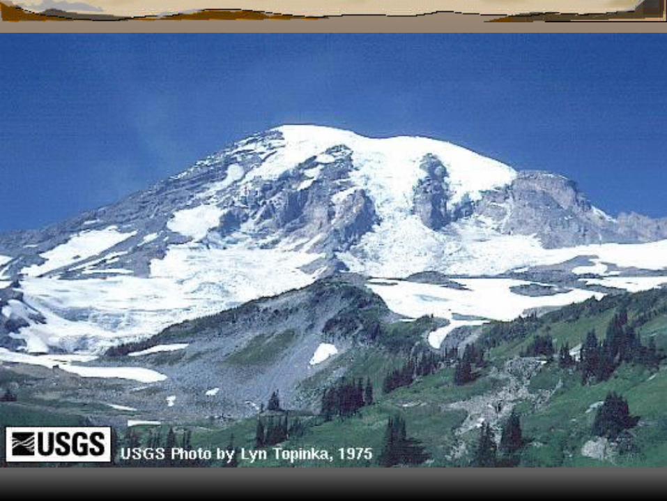
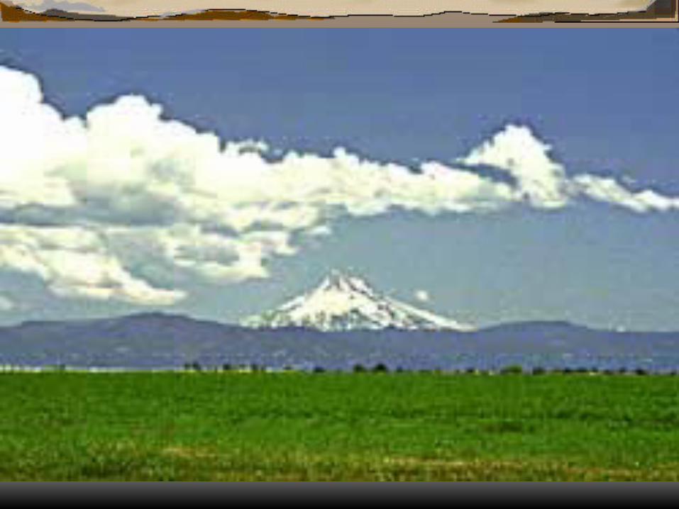
.Volcanoes The Cascade Mountains are part of the
Pacific Ocean’s “Ring of Fire.” Tallest Mount Rainier 14,411 Smallest Mt. St. Helens 8,365 ft


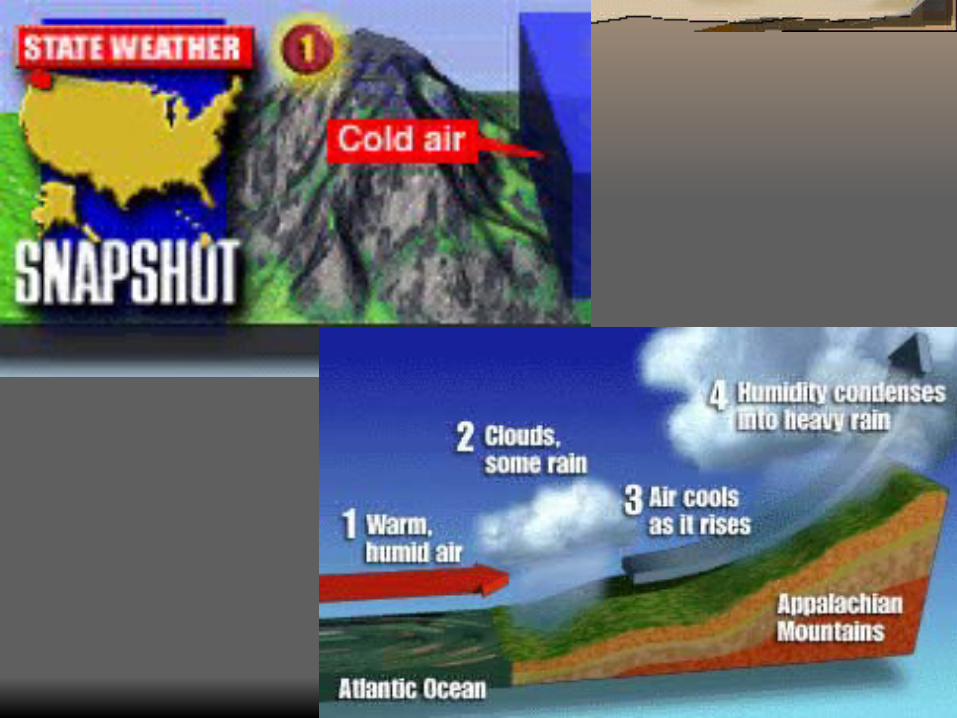
Climate these north-south mountains are a
physical barrier to the region’s climate West wet East dry 100 inches (250 cm) on the western slope
and decreases to only 20 inches (50 cm) on the eastern slopes

Rainier set the world record with 1,224.5 inches (3,110.2 cm) or 102 feet of snow between February19, 1971, and February 18, 1972.
heavy annual snowfall provides the late spring and early summer river runoff, especially significant for those eastern slope rivers flowing through the semiarid regions of Washington and Oregon.

Highland Climate Due to great range in elevation have
climates that are more moist and very mild. summer maximum temperatures are cooler, but the winter minimum temperatures are colder.

Difference in vegetation east vs. west West dense evergreen coniferous forests Fir
species East pine Animals birds, small animals, and big game
animals, such as elk, black bear, cougar or mountain lion, mule deer,bighorn sheep, and mountain goats.
Inhabitants The Cascade Mountain Region is
sparsely populated. Mountains is owned or controlled by
either the state or federal government.


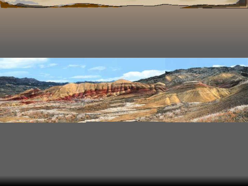
The largest geographic region of the Pacific Northwest.
The region covers about 193,000 square miles
It is the world’s second largest lava plateau. 400 miles (640 km) from north to south and
500 miles (800 km) east to west

lies between the Cascade Mountains to the west, the Rocky Mountains to the east and north, and the Great Intermountain
The Columbia Plateau was constructed by as many as 55 different lava flows.


Sub regions northern part Columbia Basin the sub regions include:
the Waterville Plateauthe Quincy Basinthe Channeled Scablandsthe Palouse Hills the Kittitas Valleythe Yakima Valleythe Pasco Basin
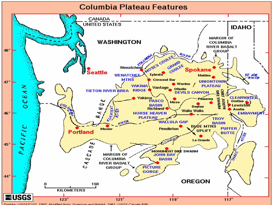
The central parts of the Columbia Plateau are interrupted by the Seven Devils, Wallowa, and Blue mountain ranges.
On the Oregon side of the Columbia River is the Umatilla-Deschutes Plateau.


The southern and southeastern sections are dominated by the Harney High Lava Plains and the Upper Snake River Valley respectively.
Climate arid to semiarid region characterized by
hot, sunny summers and cold winters.
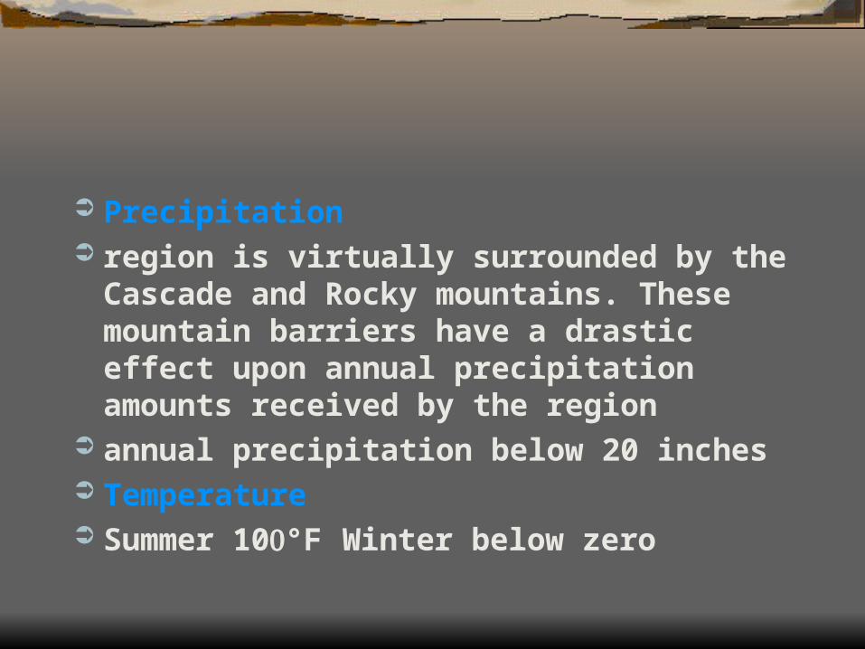
Precipitation region is virtually surrounded by the Cascade
and Rocky mountains. These mountain barriers have a drastic effect upon annual precipitation amounts received by the region
annual precipitation below 20 inches Temperature Summer 10°F Winter below zero
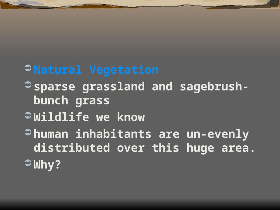
Natural Vegetation sparse grassland and sagebrush-bunch
grass Wildlife we know human inhabitants are un-evenly
distributed over this huge area. Why?

Economic Activities mixture of farming and manufacturing a long growing season, and abundant
irrigation water allow farmers to produce outstanding yields of wheat, bar-ley, oats, hops, alfalfa, corn, beans, apricots, potatoes, sugar beets, apples, pears, peaches, grapes, cherries, vegetables, and specialty crops. In addition, the dry grasslands are excellent grazing areas for cattle, sheep, horses, and other livestock.
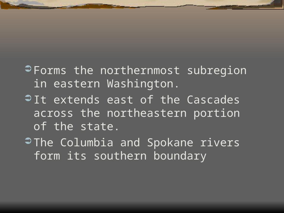
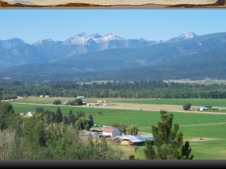
Forms the northernmost subregion in eastern Washington.
It extends east of the Cascades across the northeastern portion of the state.
The Columbia and Spokane rivers form its southern boundary

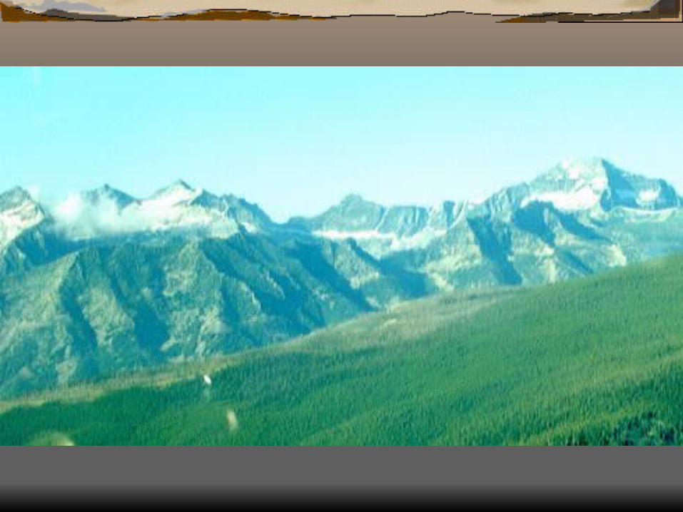
Physical Features very rugged and mountainous. It includes the Okanogan Highlands, San Poil
and Selkirk mountains, and a small portion of the Rockies.
Includes several peaks over 8,500 feet
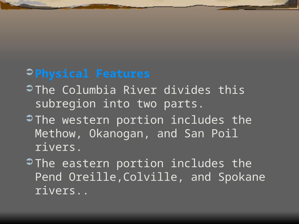
Physical Features The Columbia River divides this subregion into
two parts. The western portion includes the Methow,
Okanogan, and San Poil rivers. The eastern portion includes the Pend
Oreille,Colville, and Spokane rivers..

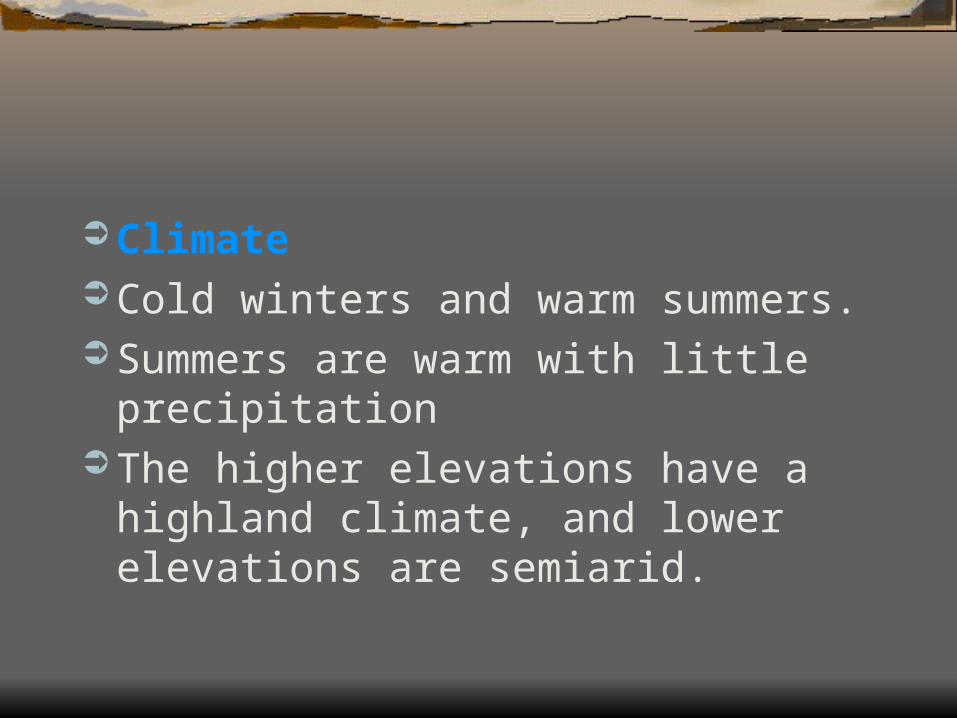
Climate Cold winters and warm summers. Summers are warm with little precipitation The higher elevations have a highland climate,
and lower elevations are semiarid.


Vegetation Forested with a variety of evergreen and
deciduous trees The undergrowth consists of brush and grasses Valleys are covered with western larch, alder,
ash, and maple trees.


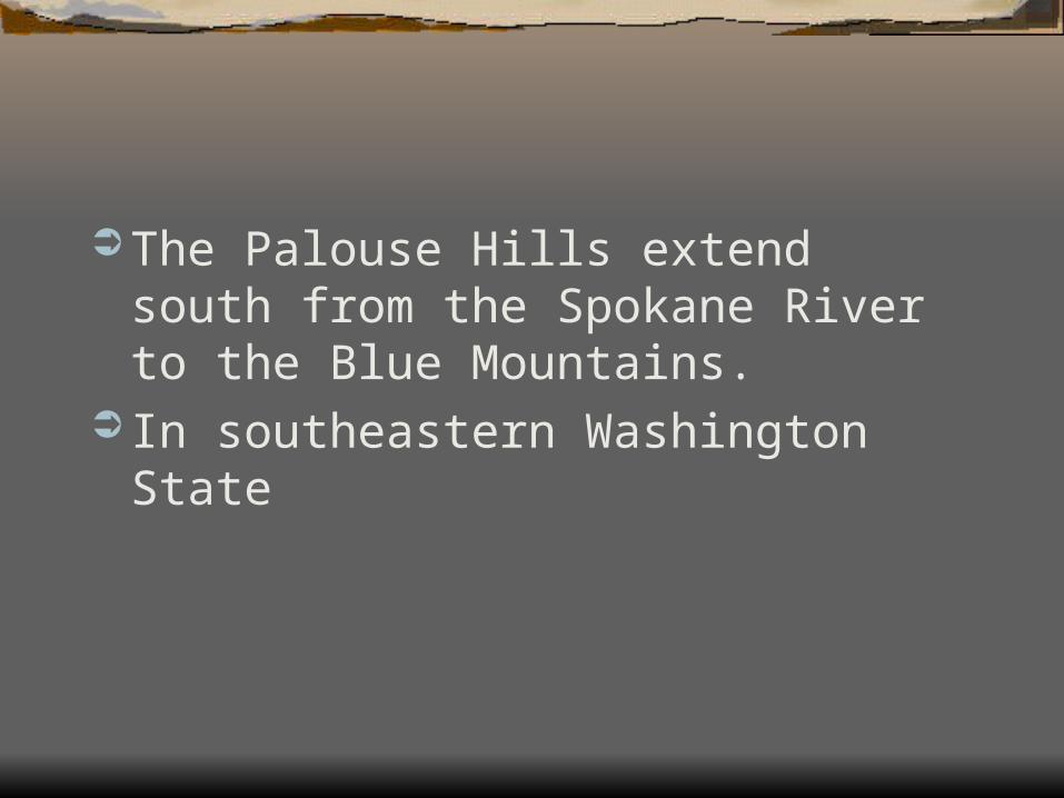
The Palouse Hills extend south from the Spokane River to the Blue Mountains.
In southeastern Washington State

Physical Features The rugged Blue Mountains Dune shaped Palouse Hills Are the major physical features in this sub
region. 6,401 feet highest elevation Largest river of the region, is the Snake.

Climate A modified semiarid climate. Receives more precipitation than other areas of eastern
Washington. Higher elevations of the Blue Mountains have a
highland climate. Winter tends to be very cold and windy. Summers, are very hot and dry with little or no moisture
after April.


Vegetation Steppe grasses and sagebrush cover most of
the sub region. The trees only grow on the moist upper slopes of
the Blue Mountains.


1) Coastal 2) Western Lowlands 3) Western Cascade Mountains 4) Eastern Cascades Mountains 5) Columbia Basin 6) Okanogan Highlands 7) Palouse Hills