title page: archave: a virtual environment for...
TRANSCRIPT

1
Title Page:
ARCHAVE: A Virtual Environment for Archaeological Research

2
Authors:
1. Eileen L VoteGraduate Student, Department of Old World Art and ArchaeologyThe Shape Lab182-184 Hope Street, Box D, EngineeringBrown UniversityProvidence, RI, 02912 USA401.863.2760(voice)401.863.1157(fax)[email protected]
2. Daniel AcevedoGraduate Student, Computer Science Department, Brown University 115 Waterman St. 4th floor Box 1910 Providence, RI 02906 USA401.863-7684 (voice) 401.863-7657 (fax)[email protected]
3. David LaidlawStephen Robert Assistant Professor and Assistant Professor of Computer Science Box 1910, Department of Computer Science Brown University Providence, RI 02912 [email protected]
4. Martha Sharp JoukowskyMartha Sharp Joukowsky is Professor, Center for Old World Archaeology and Art and Department of An-thropology, at Brown UniversityPetra Great Temple Excavations Brown University, Box 1921 Providence, RI 02912 [email protected]

3
Abstract:
ARCHAVE: A Virtual Environment for Archaeological Research
Eileen L Vote, Daniel Acevedo Feliz, David Laidlaw, Martha Sharp Joukowsky
The SHAPE Lab, Brown University, Providence, Rhode Island, USA
We will present an interactive system to perform archaeological analysis with site fea-
tures, topography, architecture, artifacts and special finds from the Brown University Ex-
cavations at the Great Temple site in Petra, Jordan. The system is significant because it
allows a user to interact with three dimensionally referenced excavation data in a CAVE -
CAVE Automatic Virtual Environment [Cruz-Neira, 1993] (a 3m x 3m room where users
are immersed in a virtual environment through stereoscopic projection on three walls and
the floor). Through user studies, we will investigate the types of analysis archaeologists
can perform in the system and compare it to standard analysis methods using a database
and maps of the site and excavation trenches.
Key Words:
Virtual Reality, CAVE, 3D Database, Spatial Analysis, GIS, Reconstruction
4
Introduction:
The SHAPE Lab was created with a grant from the United States National Science Foun-
dation in 1999 in an effort to develop scientific tools useful in archaeological site and ar-
tifact reconstruction and analysis using data from the Brown University Great Temple ex-
cavations in Petra, Jordan [figures 1,2] [1]. It is a multidisciplinary endeavor and in-
volves the departments of Computer Science, Engineering, Applied Math, Old World Ar-
chaeology and Art and Anthropology at Brown University.
One of the key projects that the lab has been collaborating on is ARCHAVE, a software
system that utilizes a virtual environment as an interface for archaeological research and
analysis. We will present the system we are currently developing and user studies we
plan on conducting to test the functionality of the system in several virtual reality envi-
ronments.
Archaeology:
The basic goal of the excavation process is to collect and analyze as much physical evi-
dence as possible to answer questions about the site and related culture. However, one of
the biggest problems the archaeologist faces in completing this task is that of cataloguing
and storing the plethora of artifacts removed during the excavation process. Later, during
analysis proceedings, modeling aspects of the data and establishing necessary relation-
ships between architectural finds, stratigraphy, site features and different artifact types is
also problematic.

5
The database of finds for the Great Temple excavation contains more than 200,000 en-
tries, recovered during excavations that commenced in 1993. On site, architectural finds
are surveyed in their in situ positions. Artifacts are located and recorded in the site data-
base in their relative positions by loci/trench with a number of feature attributes such as
object type (bone, pottery, coin, metal, sculpture, etc.), use, color, size, key features, date
given, etc. In some cases, architectural finds, sculpture and other objects that are particu-
larly notable are photographed and drawn for further analysis and comparison with other
objects.
Current Analysis Method:
As the excavation proceeds there is a strong need to correlate all the objects to observe
patterns within the data set and perform standard analysis. Methods for this type of
analysis vary widely depending on site features, excavation strategy and data.
A quantitative analysis of all materials grouped and sorted in various ways was employed
in The Great Temple five-year report published in 1998. The generated reports show sta-
tistics about the percentages of different artifacts and their find locations i.e., ‘‘pottery by
phase, pottery by area, frequency of occurrence of pottery by area,’’ etc [2]. This type of
analysis is informative because it can help archaeologists do a variety of statistical analy-
ses using fairly comprehensive information from the database. It can also allow the ar-
chaeologist to quantify obvious patterns within the data set. Unfortunately, there are
many factors that cannot be represented well in a traditional database and in reports gen-
erated from it. Specific attribute data, location and relational data between artifacts and
site features cannot be represented in this method. For example, architectural features
6
that have physical clues (stucco finishes, construction irregularities, evidence of building
additions, etc.) may be useful only when viewed in a context with associated finds and
site features.
Besides obvious conclusions that can be made when objects are correlated spatially, com-
binations of artifacts when viewed by a trained eye, together in their original spatial con-
figurations, can yield important and unlikely discoveries. Lock and Harris suggest:
‘‘Vast quantities of locational and thematic information can be stored in a single
map and yet, because the eye is a very effective image processor, visual analysis
and information retrieval can be rapid [3].’’
Although the idea of processing information visually would seem to be a more intuitive
and thus effective way of processing 3D data, it has not been proven. More graphical
methods of analysis have been explored in GIS systems that overlay multiple types of 2D
graphic representations of data such as maps, plans and raster images together with as-
sociated attribute data in an attempt to present relationships between spatial data. How-
ever, it is strongly suggested that GIS systems are not sophisticated enough to provide a
thorough description of z dimension (height) relationships.
‘ ‘The spatial relationships between the artifacts, other artifacts, site fea-
tures, other sites, landscape elements and environmental aspects present
a formidable matrix of alternative individual categorizations and cross-
combinations to be searched for information [4].’’
7
A system or method that can allow formal analysis that uses the data in all three
dimensions and can link important attribute data may resolve some of the analy-
sis issues noted.
What We Propose:
The Great Temple artifact and site recording methodology will allow analysis of the find-
ings in three dimensions because it maintains the x, y, and z coordinates for its objects.
Therefore, in the system we are developing, we will assess the usefulness of analyzing
three-dimensional characteristics and associated attributes of the objects and features of
the Great Temple site. Also, following what Forte proposes[5], we believe that a virtual
environment will be particularly useful in helping the Great Temple researchers under-
stand their data to develop new conclusions and hypotheses about the history and evolu-
tion of Nabataean culture.
The System.
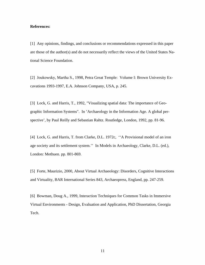
The ARCHAVE system displays all the components of the excavation in the context of
an architectural reconstruction of the Great Temple or, if the user prefers, an in situ
model of the architectural remains [figure 3]. Like the excavation site, the virtual site is
divided into the grid of excavation trenches representing the different areas that were ex-
cavated over the last seven years [figure 4]. Each trench is modeled so that the user can
look at the relative layers or loci the excavator established during the removal of debris in
that trench. As the user dictates, information about artifacts can be viewed in the loca-
tions where they were found.
8
For example, a user can see bulk pottery finds in a trench or group of trenches. Bulk pot-
tery finds will be indicated by a color range where the darkest color represents the highest
concentrations throughout the site [figure 5]. In addition to viewing bulk pottery finds, it
may be helpful to see relevant coin finds, bone, glass, stone, metal, architectural frag-
ments or special finds also. Additional object types such as bone shown with pottery are
defined by range of texture along with the existing color range. As new information is
added, the user can start to form hypotheses or make conclusions about the relationships
between the artifacts and the architecture or site that could not be made otherwise.
A task we envision for the system is to establish the building chronology or phasing of
the Great Temple by using artifact attributes such as relative dates and grouping them
with architectural elements and other site features. We believe that such a task can be
achieved better in the system because it is easier to associate objects in all three dimen-
sions. Therefore, objects that cannot be related in 2D map-based GIS systems can be ac-
commodated here. We will test the user’s ability to do such a task by an interactive
method that combines queries of the artifact and architectural fragments database.
As the system is developed, we hope to integrate functions that will allow the user to
mark areas and elements that have been analyzed for a cumulative effect. When the user
comes to conclusions in the virtual site, it can be annotated to aid the user later or to key
other users.
In a fully developed environment, a researcher will be able to study the site by navigating
through different stages of the excavation or important historical phases of the building.
9
He or she will also query the database of artifacts using speech recognition, gesture-based
commands, or automatic query generation depending upon the state of the user in the vir-
tual site.
User Studies:
As Doug Bowman proposes, In an effort to compare results from the system and analyze
the usefulness of various VR interfaces, we are designing user studies that utilize the fol-
lowing virtual environments: a Cave, Barco Baron table, head-mounted display and the
desktop [figures 6-9][6].
In testing this application we hope to answer the following specific questions: What vir-
tual reality environment, if any, performs better in giving archaeologists the adequate in-
terface and contextual information they need for analysis? What context is necessary for
performing archaeological tasks? Which interaction techniques allow the user to navigate
through an archaeological site and access a database of artifact information? How do we
display the results of those queries in a way that he or she can gain maximum insight
about the data?
We will test the system by allowing users to view and interact with the find information
in the VR environments. As they do this, they will be asked to answer basic questions
about their findings in the system. Users will also be asked to attempt to answer similar
questions using the traditional site database and maps available in Filemaker Pro on the
desktop.
10
From a number of informal tests and demonstrations, we have observed that users get a
good sense of immersion in the system and those who have visited Petra report that using
the system is similar to being at the actual site. However, we have also observed that, be-
cause the Great Temple is large and they are navigating inside the system at full scale, us-
ers want to look up to see important parts of the edifice. In the CAVE this is problematic
because the ceiling is not a display surface. Another problem we have detected is that
scale is hard to convey accurately. We are currently developing a pilot user study to com-
pare how important this factor is in the different platforms and how it affects the archae-
ologists studying the site.
Conclusion:
The system we have described is significant because it allows archaeologists to preserve
and visualize the data they collect in three dimensions. Implementing the system in a VR
environment allows Archaeologists to better understand the context of the excavation
data and correlate the large quantity of artifacts with features of the site and architecture.
Through user studies we will gain insight into the way users interact with ARCHAVE
and the differences between analysis performed in the system and more standard analysis
using available databases, maps, photos and drawings.
11
References:
[1] Any opinions, findings, and conclusions or recommendations expressed in this paper
are those of the author(s) and do not necessarily reflect the views of the United States Na-
tional Science Foundation.
[2] Joukowsky, Martha S., 1998, Petra Great Temple: Volume I: Brown University Ex-
cavations 1993-1997, E.A. Johnson Company, USA, p. 245.
[3] Lock, G. and Harris, T., 1992, "Visualizing spatial data: The importance of Geo-
graphic Information Systems". In ’Archaeology in the Information Age. A global per-
spective’, by Paul Reilly and Sebastian Rahtz. Routledge, London, 1992, pp. 81-96.
[4] Lock, G. and Harris, T. from Clarke, D.L. 1972c, ‘‘A Provisional model of an iron
age society and its settlement system.’’ In Models in Archaeology, Clarke, D.L. (ed.),
London: Methuen. pp. 801-869.
[5] Forte, Maurizio, 2000, About Virtual Archaeology: Disorders, Cognitive Interactions
and Virtuality, BAR International Series 843, Archaeopress, England, pp. 247-259.
[6] Bowman, Doug A., 1999, Interaction Techniques for Common Tasks in Immersive
Virtual Environments - Design, Evaluation and Application, PhD Dissertation, Georgia
Tech.
12
Figures:
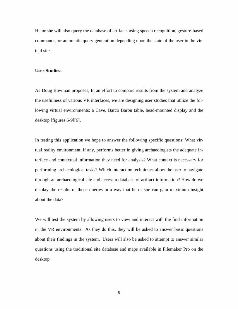
Figure 1: Aerial of the Great Temple site in Petra, Jordan.
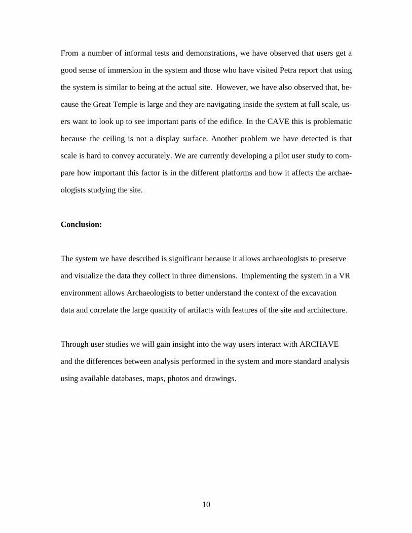
Figure 2: Aerial showing the Temple Proper area of the Great Temple precinct after the
excavation season, 1999.
Figure 3: Users in the CAVE virtual environment navigating through the temple recon-
struction.
13
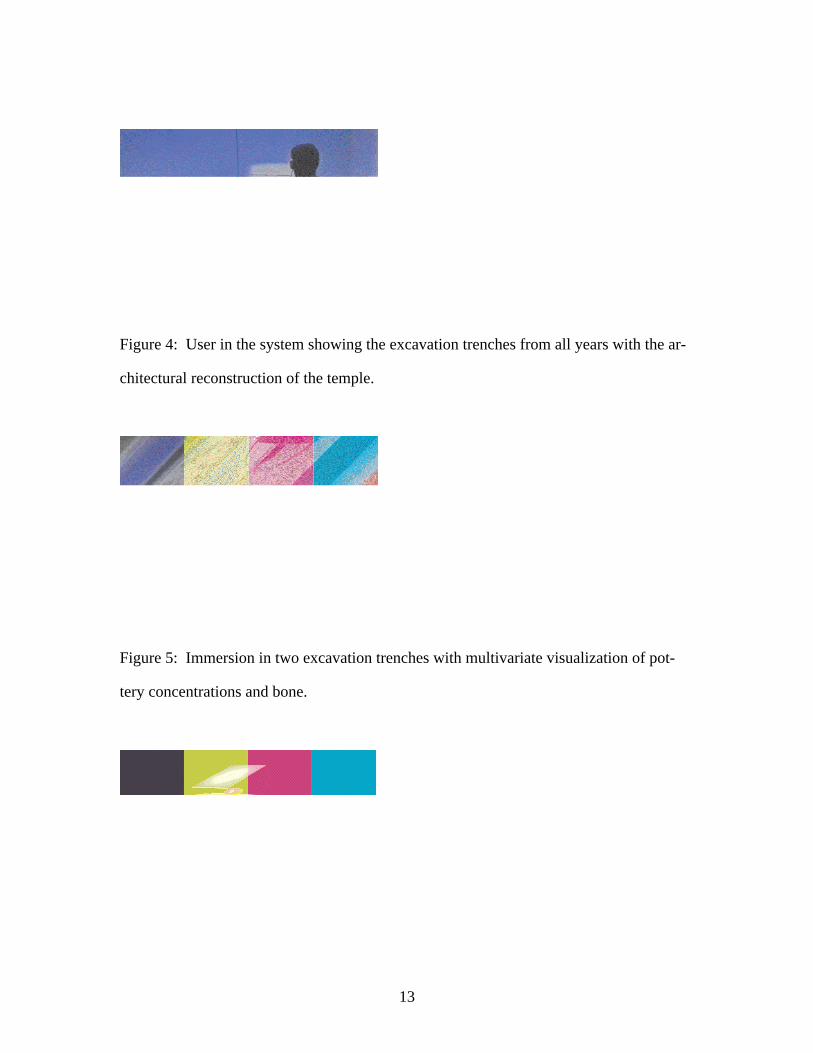
Figure 4: User in the system showing the excavation trenches from all years with the ar-
chitectural reconstruction of the temple.
Figure 5: Immersion in two excavation trenches with multivariate visualization of pot-
tery concentrations and bone.
14
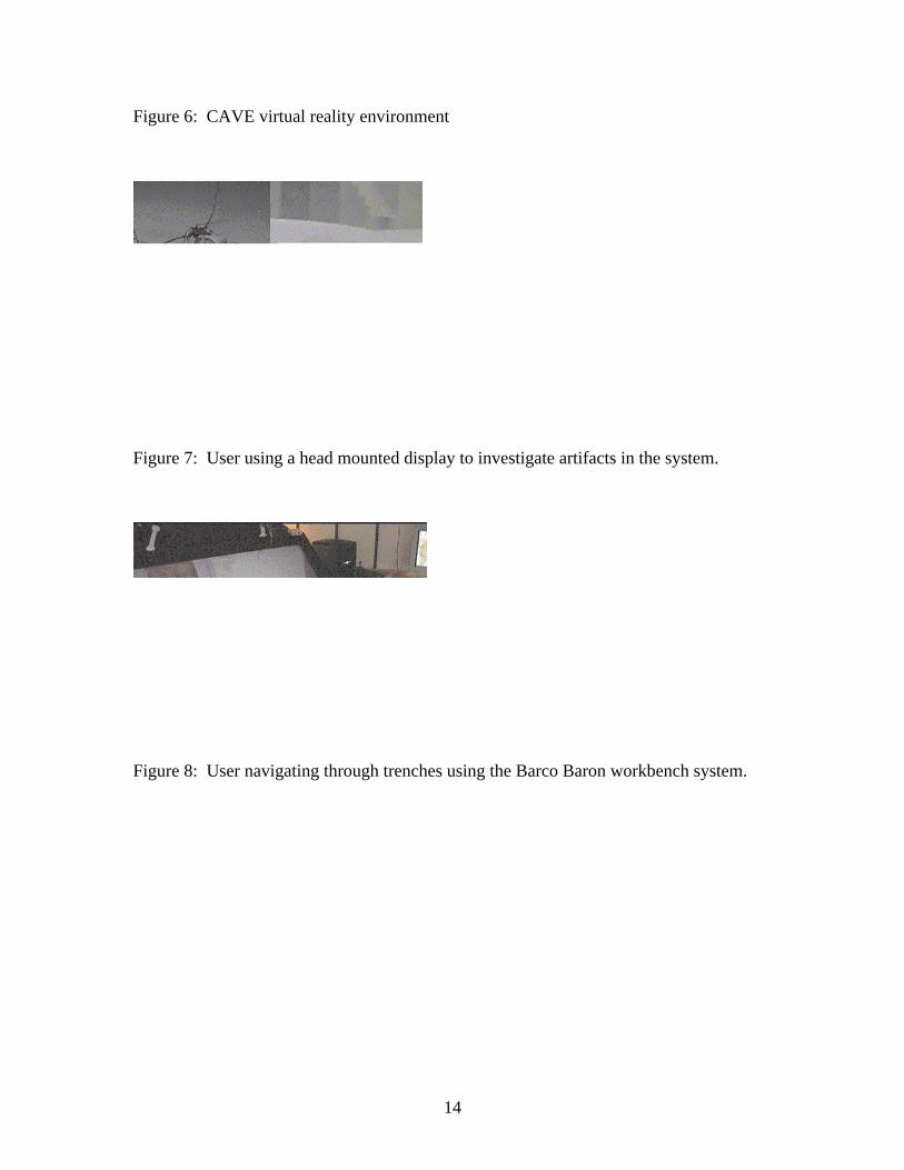
Figure 6: CAVE virtual reality environment
Figure 7: User using a head mounted display to investigate artifacts in the system.
Figure 8: User navigating through trenches using the Barco Baron workbench system.

15
Figure 9: The desktop VR system.