thief river watershed assessment project (watershed ... 7 july... · thief river watershed...
TRANSCRIPT
RED LAKE WATERSHED DISTRICT JULY 2012 MONTHLY WATER QUALITY REPORT
Thief River Watershed Assessment Project (Watershed Restoration and Protection - WRAP)
• Task 2 – Water Quality Monitoring o Water quality samples were collected at continuous dissolved oxygen monitoring
sites in July. o Water levels in the Thief River watershed were very low.
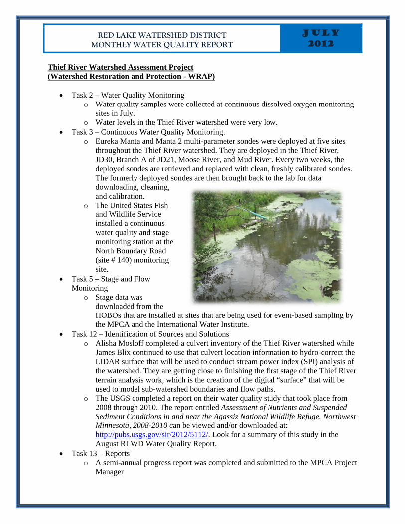
• Task 3 – Continuous Water Quality Monitoring. o Eureka Manta and Manta 2 multi-parameter sondes were deployed at five sites
throughout the Thief River watershed. They are deployed in the Thief River, JD30, Branch A of JD21, Moose River, and Mud River. Every two weeks, the deployed sondes are retrieved and replaced with clean, freshly calibrated sondes. The formerly deployed sondes are then brought back to the lab for data downloading, cleaning, and calibration.
o The United States Fish and Wildlife Service installed a continuous water quality and stage monitoring station at the North Boundary Road (site # 140) monitoring site.
• Task 5 – Stage and Flow Monitoring
o Stage data was downloaded from the HOBOs that are installed at sites that are being used for event-based sampling by the MPCA and the International Water Institute.
• Task 12 – Identification of Sources and Solutions o Alisha Mosloff completed a culvert inventory of the Thief River watershed while
James Blix continued to use that culvert location information to hydro-correct the LIDAR surface that will be used to conduct stream power index (SPI) analysis of the watershed. They are getting close to finishing the first stage of the Thief River terrain analysis work, which is the creation of the digital “surface” that will be used to model sub-watershed boundaries and flow paths.
o The USGS completed a report on their water quality study that took place from 2008 through 2010. The report entitled Assessment of Nutrients and Suspended Sediment Conditions in and near the Agassiz National Wildlife Refuge. Northwest Minnesota, 2008-2010 can be viewed and/or downloaded at: http://pubs.usgs.gov/sir/2012/5112/. Look for a summary of this study in the August RLWD Water Quality Report.
• Task 13 – Reports o A semi-annual progress report was completed and submitted to the MPCA Project
Manager
RED LAKE WATERSHED DISTRICT JULY 2012 MONTHLY WATER QUALITY REPORT
Red Lake River Watershed Assessment Project (Watershed Restoration and Protection - WRAP)
• Task 2 – Water Quality Monitoring o Pre-9AM field measurements were made at the Smiley Bridge (CR7) monitoring
site on the Red Lake River. Pre-9am dissolved oxygen measurements are needed in order to confidently declare that a river is meeting the State’s dissolved oxygen water quality standard. The Smiley Bridge is close to the RLWD office in Thief River Falls, so it will be possible to get equipment calibrated and get to the site before 9am. This will be done several times each month throughout this summer.
o WRAP funds were used to add biochemical oxygen demand, chemical oxygen demand, and orthophosphorus to the analysis of samples collected at sites where dissolved oxygen loggers are deployed.
• Task 3 – Continuous Water Quality Monitoring o Eureka Midge dissolved oxygen loggers were deployed at 5sites throughout the
Red Lake River watershed (Heartsville Coulee, Burnham Creek, Polk CD1, Kripple Creek, and Gentilly Creek). TROLL 9500 dissolved oxygen loggers with optical dissolved oxygen sensors will be deployed in the Black River this year.
o After two weeks of deployment, sondes are retrieved and replaced with clean, freshly calibrated equipment. They are then brought back to the lab where data is downloaded, sondes are cleaned, membranes are replaced, and dissolved oxygen sensors are re-calibrated.
o Dissolved oxygen loggers are no longer deployed in Polk County Ditch 1 because the channel is dry.
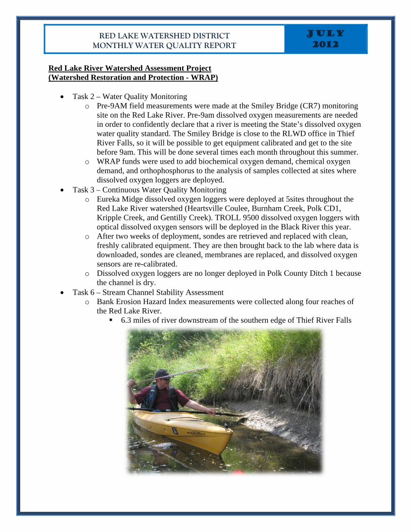
• Task 6 – Stream Channel Stability Assessment o Bank Erosion Hazard Index measurements were collected along four reaches of
the Red Lake River. 6.3 miles of river downstream of the southern edge of Thief River Falls
RED LAKE WATERSHED DISTRICT JULY 2012 MONTHLY WATER QUALITY REPORT
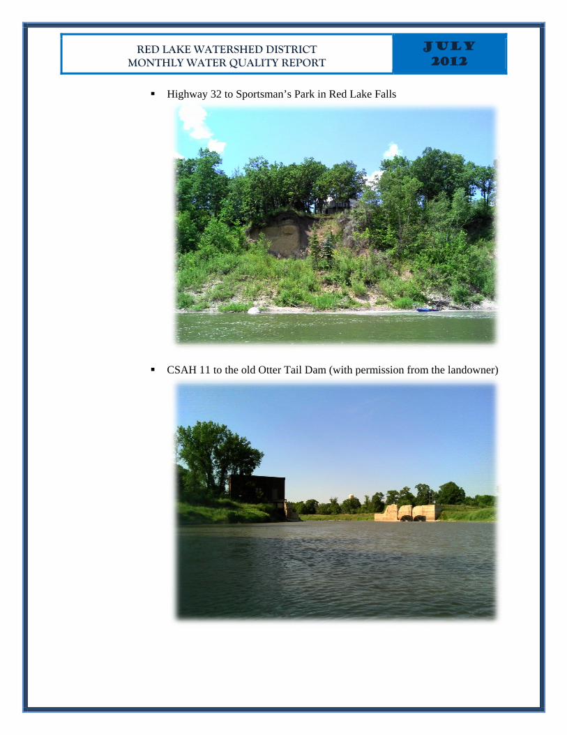
Highway 32 to Sportsman’s Park in Red Lake Falls
CSAH 11 to the old Otter Tail Dam (with permission from the landowner)
RED LAKE WATERSHED DISTRICT JULY 2012 MONTHLY WATER QUALITY REPORT
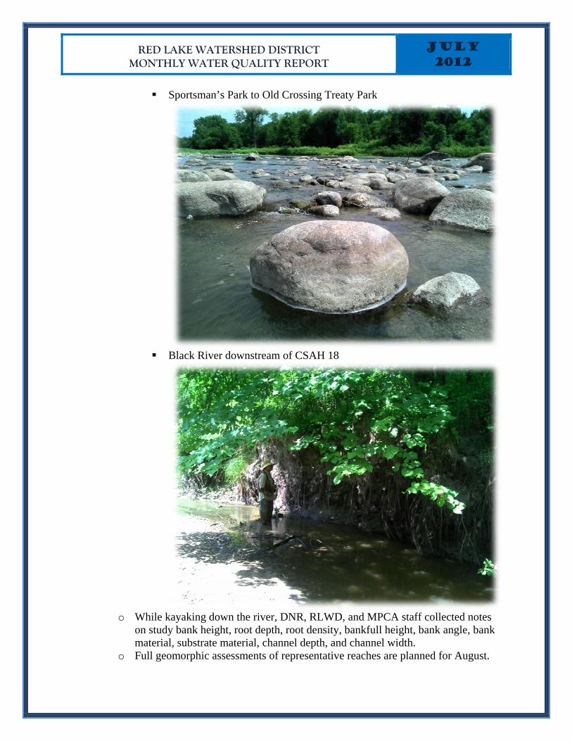
Sportsman’s Park to Old Crossing Treaty Park
Black River downstream of CSAH 18
o While kayaking down the river, DNR, RLWD, and MPCA staff collected notes
on study bank height, root depth, root density, bankfull height, bank angle, bank material, substrate material, channel depth, and channel width.
o Full geomorphic assessments of representative reaches are planned for August.
RED LAKE WATERSHED DISTRICT JULY 2012 MONTHLY WATER QUALITY REPORT
• Task 11 – Identification of Sources and Solutions
o A culvert inventory for the hydro-correction of LIDAR data began in July after that work was completed for the Thief River watershed. Culverts were identified in Sanders, Rocksbury, Smiley, Cloverleaf, and Goodridge townships.
• Task 12 – Reports o A semi-annual progress report was completed and submitted to the MPCA Project
Manager.
Red Lake River and Grand Marais Creek Assessment (Surface Water Assessment Grant)
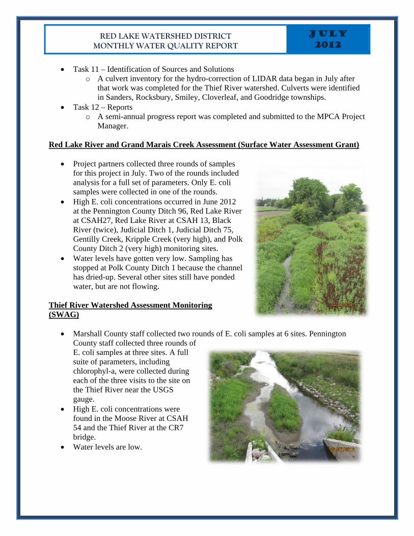
• Project partners collected three rounds of samples for this project in July. Two of the rounds included analysis for a full set of parameters. Only E. coli samples were collected in one of the rounds.
• High E. coli concentrations occurred in June 2012 at the Pennington County Ditch 96, Red Lake River at CSAH27, Red Lake River at CSAH 13, Black River (twice), Judicial Ditch 1, Judicial Ditch 75, Gentilly Creek, Kripple Creek (very high), and Polk County Ditch 2 (very high) monitoring sites.
• Water levels have gotten very low. Sampling has stopped at Polk County Ditch 1 because the channel has dried-up. Several other sites still have ponded water, but are not flowing.
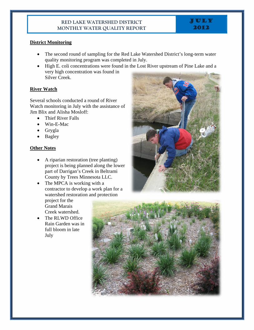
Thief River Watershed Assessment Monitoring (SWAG)
• Marshall County staff collected two rounds of E. coli samples at 6 sites. Pennington County staff collected three rounds of E. coli samples at three sites. A full suite of parameters, including chlorophyl-a, were collected during each of the three visits to the site on the Thief River near the USGS gauge.
• High E. coli concentrations were found in the Moose River at CSAH 54 and the Thief River at the CR7 bridge.
• Water levels are low.
RED LAKE WATERSHED DISTRICT JULY 2012 MONTHLY WATER QUALITY REPORT
District Monitoring
• The second round of sampling for the Red Lake Watershed District’s long-term water quality monitoring program was completed in July.
• High E. coli concentrations were found in the Lost River upstream of Pine Lake and a very high concentration was found in Silver Creek.
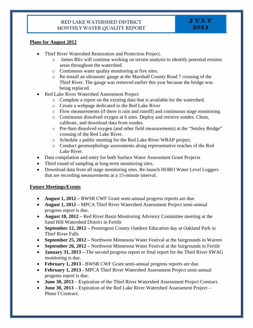
River Watch Several schools conducted a round of River Watch monitoring in July with the assistance of Jim Blix and Alisha Mosloff:
• Thief River Falls • Win-E-Mac • Grygla • Bagley
Other Notes
• A riparian restoration (tree planting) project is being planned along the lower part of Darrigan’s Creek in Beltrami County by Trees Minnesota LLC.
• The MPCA is working with a contractor to develop a work plan for a watershed restoration and protection project for the Grand Marais Creek watershed.
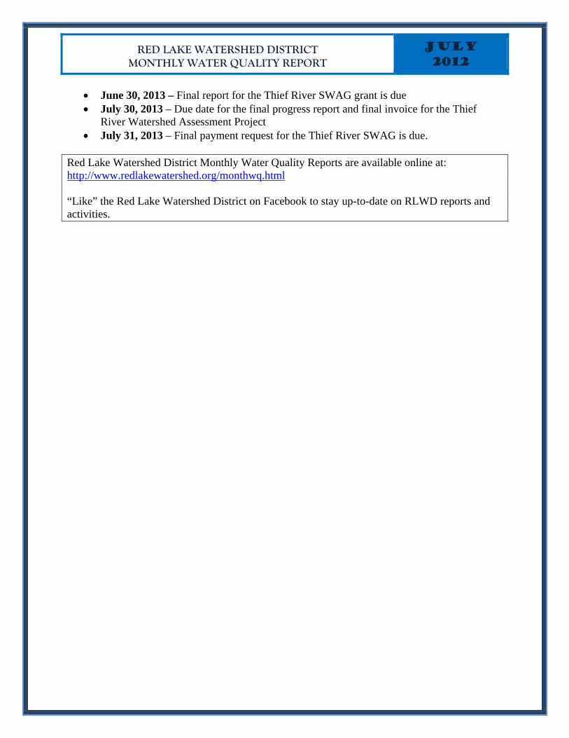
• The RLWD Office Rain Garden was in full bloom in late July
RED LAKE WATERSHED DISTRICT MONTHLY WATER QUALITY REPORT
JULY 2012
Plans for August 2012
• Thief River Watershed Restoration and Protection Project. o James Blix will continue working on terrain analysis to identify potential erosion
areas throughout the watershed. o Continuous water quality monitoring at five sites. o Re-install an ultrasonic gauge at the Marshall County Road 7 crossing of the
Thief River. The gauge was removed earlier this year because the bridge was being replaced.
• Red Lake River Watershed Assessment Project o Complete a report on the existing data that is available for the watershed. o Create a webpage dedicated to the Red Lake River o Flow measurements (if there is rain and runoff) and continuous stage monitoring o Continuous dissolved oxygen at 6 sites. Deploy and retrieve sondes. Clean,
calibrate, and download data from sondes. o Pre-9am dissolved oxygen (and other field measurements) at the “Smiley Bridge”
crossing of the Red Lake River. o Schedule a public meeting for the Red Lake River WRAP project. o Conduct geomorphology assessments along representative reaches of the Red
Lake River. • Data compilation and entry for both Surface Water Assessment Grant Projects • Third round of sampling at long-term monitoring sites. • Download data from all stage monitoring sites. Re-launch HOBO Water Level Loggers
that are recording measurements at a 15-minute interval.
Future Meetings/Events
• August 1, 2012 – BWSR CWF Grant semi-annual progress reports are due. • August 1, 2012 – MPCA Thief River Watershed Assessment Project semi-annual
progress report is due. • August 10, 2012 – Red River Basin Monitoring Advisory Committee meeting at the
Sand Hill Watershed District in Fertile • September 12, 2012 – Pennington County Outdoor Education day at Oakland Park in
Thief River Falls • September 25, 2012 – Northwest Minnesota Water Festival at the fairgrounds in Warren • September 26, 2012 – Northwest Minnesota Water Festival at the fairgrounds in Fertile • January 31, 2013 – The second progress report or final report for the Thief River SWAG
monitoring is due. • February 1, 2013 - BWSR CWF Grant semi-annual progress reports are due. • February 1, 2013 - MPCA Thief River Watershed Assessment Project semi-annual
progress report is due. • June 30, 2013 – Expiration of the Thief River Watershed Assessment Project Contract. • June 30, 2013 – Expiration of the Red Lake River Watershed Assessment Project –
Phase I Contract.
RED LAKE WATERSHED DISTRICT MONTHLY WATER QUALITY REPORT
JULY 2012
• June 30, 2013 – Final report for the Thief River SWAG grant is due • July 30, 2013 – Due date for the final progress report and final invoice for the Thief
River Watershed Assessment Project • July 31, 2013 – Final payment request for the Thief River SWAG is due.
Red Lake Watershed District Monthly Water Quality Reports are available online at: http://www.redlakewatershed.org/monthwq.html “Like” the Red Lake Watershed District on Facebook to stay up-to-date on RLWD reports and activities.