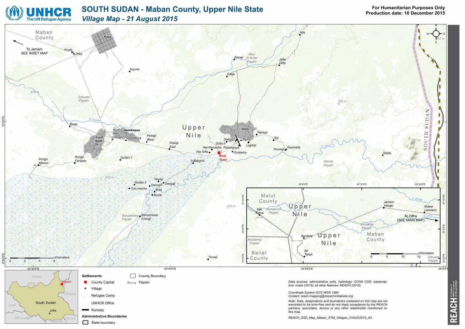
south sudan - maban county, upper nile state for ... · r. tombak banashowa payam boung payam...

1
" To Jamam SEE INSET MAP Upper Upper Nile Nile Maban County Gendrassa Yusif Batil Doro Kaya Thueiji Hai-Sifta Hai-Naivasha Banashawa (Liang) Yusif Batil Village Gendrassa Tuk-checha Peikaji West Kanaji Dalija Bewo Orji Jafar Dida Thomaji Kuola Shata Kujuria Gulawiny Nila Godan 2 Buta Peikaji East Damajin Buote Godan 1 Robangoye Luganji Tejinb Tapiego Kongo Farajala Dollo I Gasmalla Yawaji Dollo II Offra Dangaji Kongo Mamur Benchul Bunj Town R. Y a b u s R . Tom ba k Banashowa Payam Boung Payam Jinkuata Payam Khor El Amer Payam 34°0'0"E 33°50'0"E 33°40'0"E 33°30'0"E 10°0'0"N 9°50'0"N SOUTH SUDAN - Maban County, Upper Nile State ! \ " Juba CAR DR Congo Ethiopia Kenya Sudan Uganda South Sudan Maban ² Village Map - 21 August 2015 0 2 4 6 Kilometers For Humanitarian Purposes Only Production date: 16 December 2015 Note: Data, designations and boundaries contained on this map are not warranted to be error-free and do not imply acceptance by the REACH partners, associates, donors or any other stakeholder mentioned on this map. Data sources: adminstrative units, hydrology: OCHA COD; basemap: Esri; roads (2015); all other features: REACH (2015). Coordinate System:GCS WGS 1984 Contact: [email protected] REACH_SSD_Map_Maban_STM_Villages_21AUG2015_A3 Settlements " County Capital Village Refugee Camp UNHCR Office Runway Administrative Boundaries State boundary County Boundary Payam Upper Upper Nile Nile Melut County Upper Upper Nile Nile Baliet County Maban County Jamam Village Kidwa (Jamam) Benketa Bir Taltah Kilo Ashra R. Yale R. A hm a r Wunamum Payam Jinkuata Payam Jinmakda Payam Akotweng Payam 33°20'0"E 33°10'0"E 33°0'0"E 10°10'0"N 10°10'0"N 10°5'0"N 10°5'0"N 10°0'0"N 10°0'0"N To Offra (SEE MAIN MAP) 0 5 10 15 Kilometers Boung

Upload: phamliem

Post on 28-Feb-2019

225 views

Category:

Documents


1 download

TRANSCRIPT

"

To JamamSEE INSET MAP

U p p e rU p p e rN i l eN i l e

Maba nCou nt y

GendrassaYusifBatil

Doro

Kaya

Thueiji

Hai-SiftaHai-Naivasha

Banashawa(Liang)

YusifBatilVillage Gendrassa

Tuk-checha

PeikajiWest

Kanaji

Dalija

Bewo

Orji

JafarDida

Thomaji

Kuola

Shata

Kujuria

Gulawiny

Nila

Godan 2Buta

PeikajiEast

Damajin

Buote

Godan 1

Robangoye LuganjiTejinb

Tapiego

KongoFarajala

Dollo I

Gasmalla

Yawaji

Dollo II

Offra

Dangaji

KongoMamur Benchul

BunjTown

R. Yabus

R. Tombak

BanashowaPayam

BoungPayam

JinkuataPayam

KhorEl AmerPayam

34°0'0"E33°50'0"E33°40'0"E33°30'0"E

10°0

'0"N

9°50'0

"N

SOUTH SUDAN - Maban County, Upper Nile State

!\

"

JubaCAR

DR Congo

Ethiopia

Kenya

Sudan

Uganda

South Sudan

Maban

²Village Map - 21 August 2015

0 2 4 6Kilometers

For Humanitarian Purposes OnlyProduction date: 16 December 2015

Note: Data, designations and boundaries contained on this map are notwarranted to be error-free and do not imply acceptance by the REACHpartners, associates, donors or any other stakeholder mentioned onthis map.

Data sources: adminstrative units, hydrology: OCHA COD; basemap:Esri; roads (2015); all other features: REACH (2015).Coordinate System:GCS WGS 1984Contact: [email protected]

REACH_SSD_Map_Maban_STM_Villages_21AUG2015_A3

Settlements" County Capital

VillageRefugee CampUNHCR OfficeRunway

Administrative BoundariesState boundary

County BoundaryPayam

U p p e rU p p e rN i l eN i l e

Melu tCou nt y

U p p e rU p p e rN i l eN i l e

Ba l i e tCou nt y

Maba nCou nt y

JamamVillage Kidwa

(Jamam)

Benketa

BirTaltah

KiloAshra

R. Yale

R. Ahmar

WunamumPayam

JinkuataPayam

JinmakdaPayam

AkotwengPayam

33°20'0"E33°10'0"E33°0'0"E

10°1

0'0"N

10°1

0'0"N

10°5

'0"N

10°5

'0"N

10°0

'0"N

10°0

'0"N

To Offra(SEE MAIN MAP)

0 5 10 15Kilometers

Boung