public access to street and highways works chris gower gis director, jacobs babtie
Post on 21-Dec-2015
215 views
TRANSCRIPT
Public access toStreet and Highways Works
Chris Gower
GIS Director, Jacobs Babtie
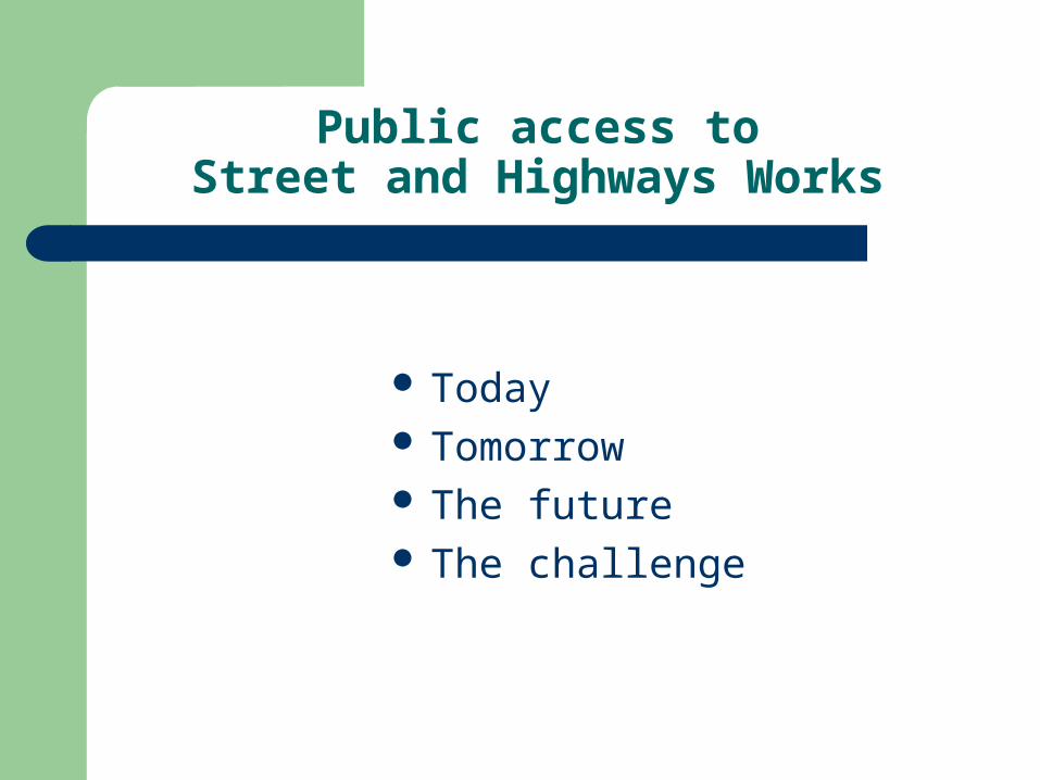
Public access toStreet and Highways Works
Today Tomorrow The future The challenge
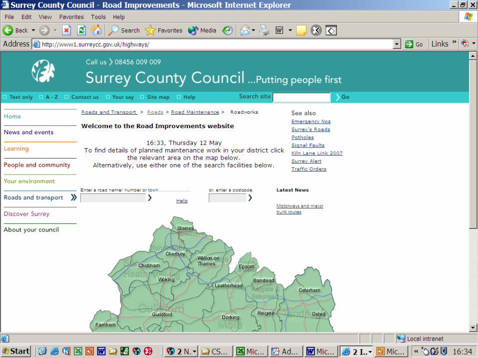

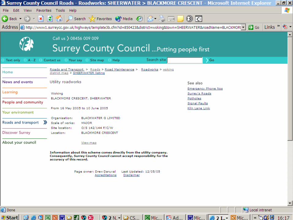

Today - Summary
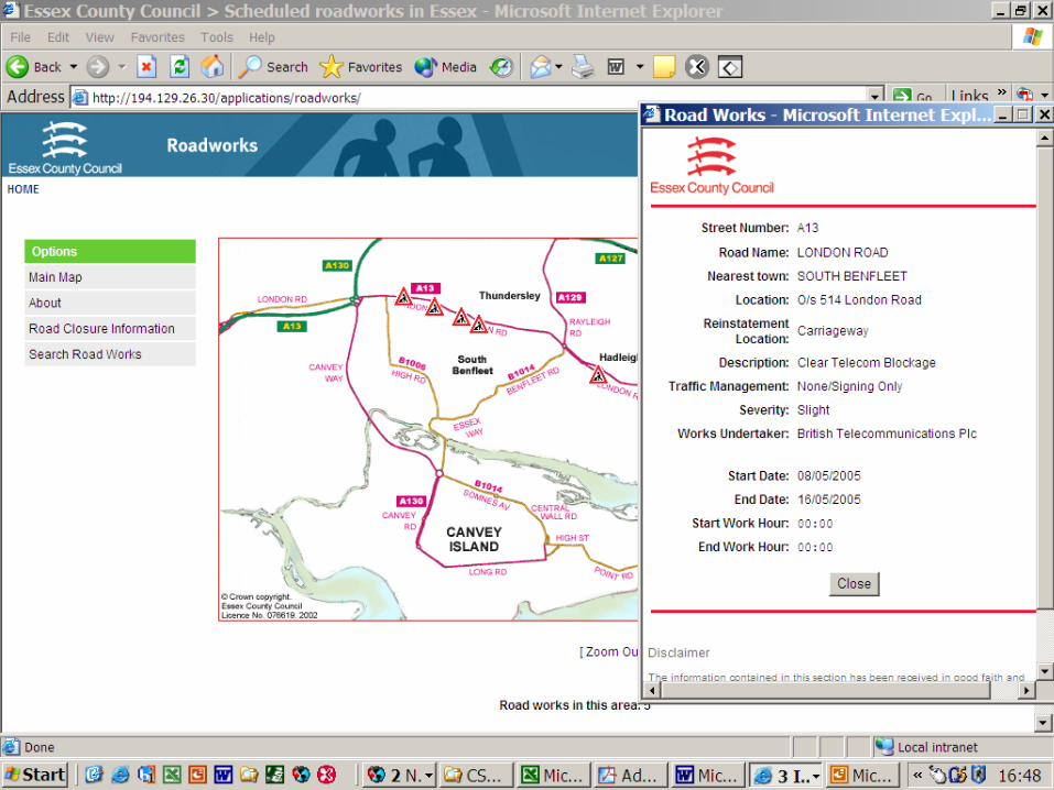
Good and not so good Different Difficult to find No cross boundary access Incomplete - Street v Road Works, Events Inaccurate – no location co-ordinates
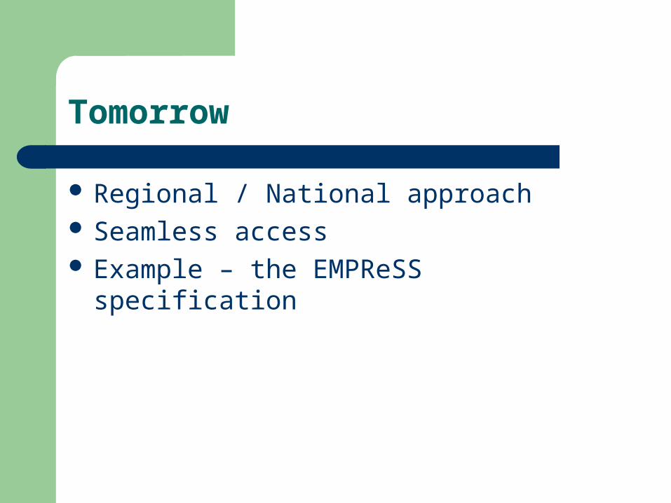
Tomorrow
Regional / National approach Seamless access Example – the EMPReSS specification
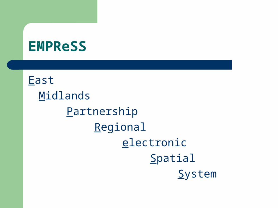
EMPReSS
East
Midlands
Partnership
Regional
electronic
Spatial
System
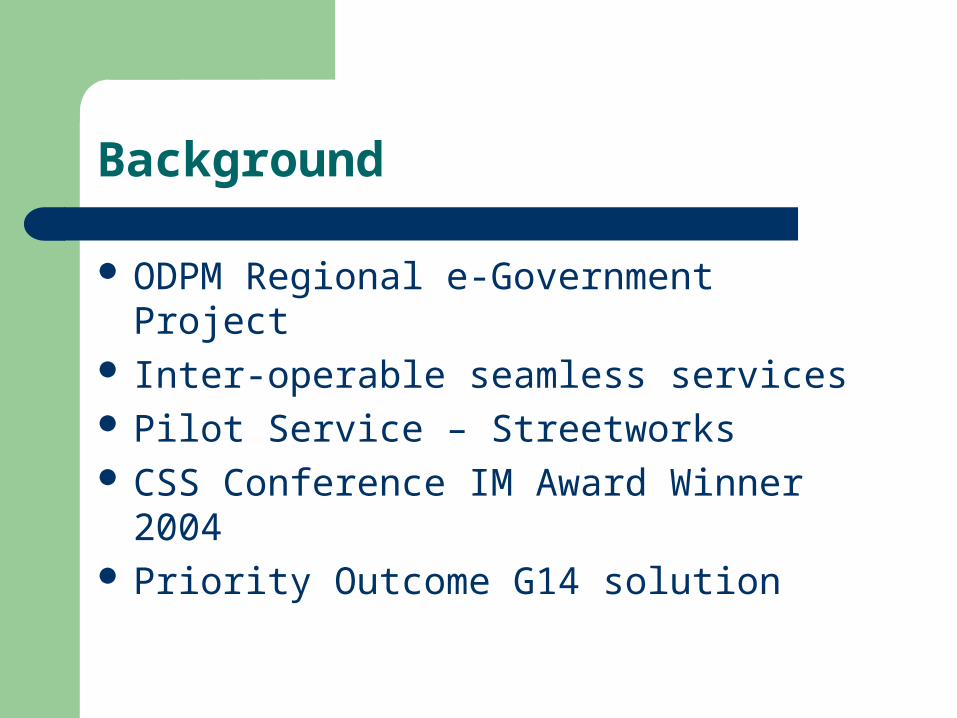
Background
ODPM Regional e-Government Project Inter-operable seamless services Pilot Service – Streetworks CSS Conference IM Award Winner 2004 Priority Outcome G14 solution
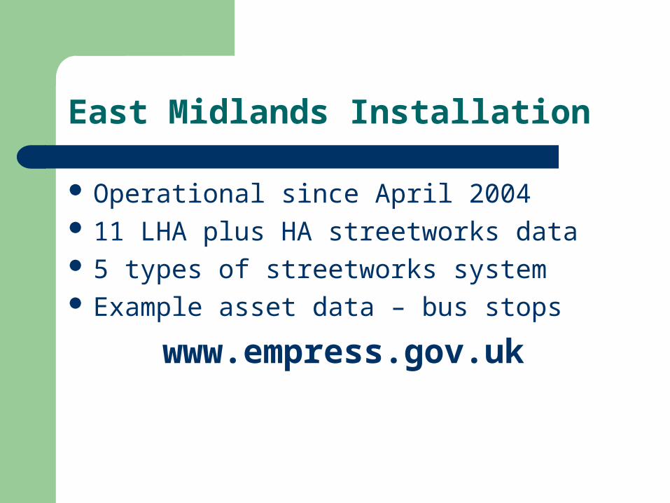
East Midlands Installation
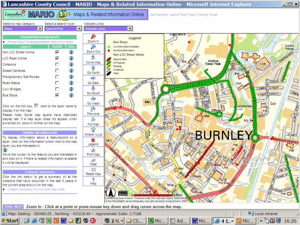
Operational since April 2004 11 LHA plus HA streetworks data 5 types of streetworks system Example asset data – bus stops
www.empress.gov.uk
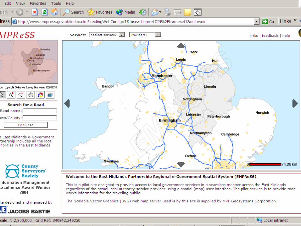
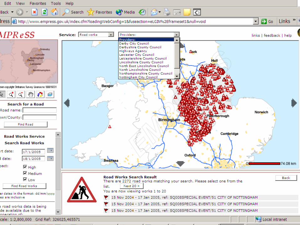
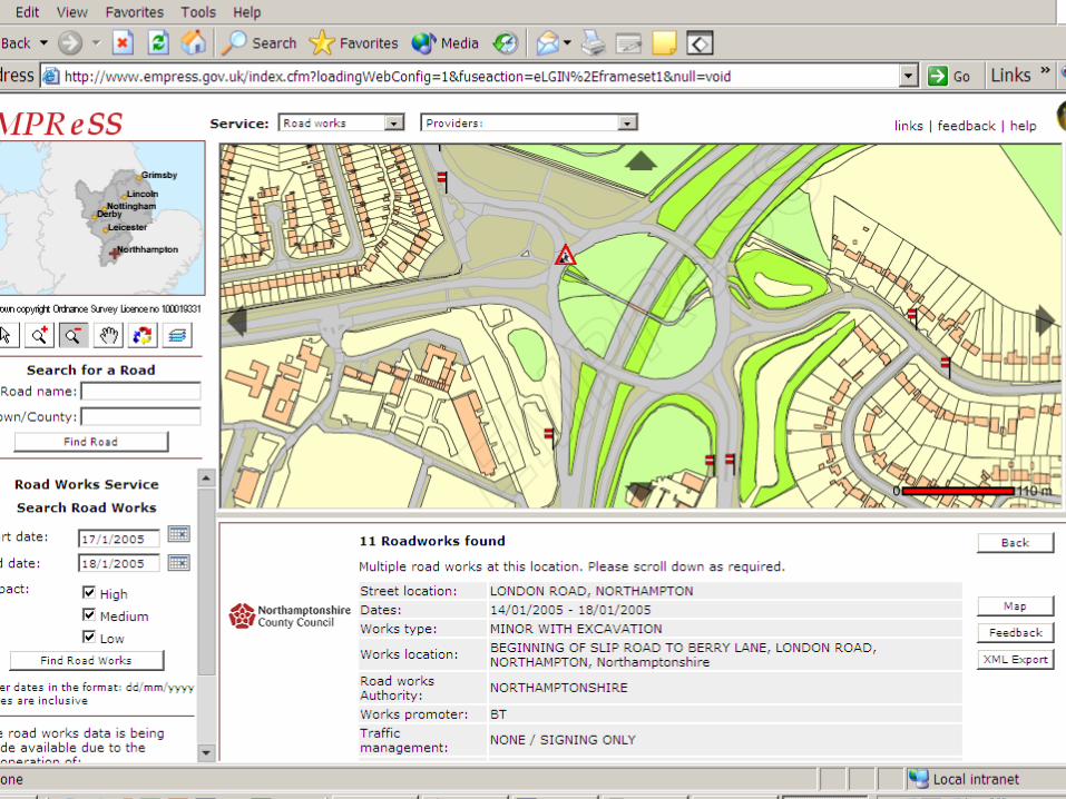
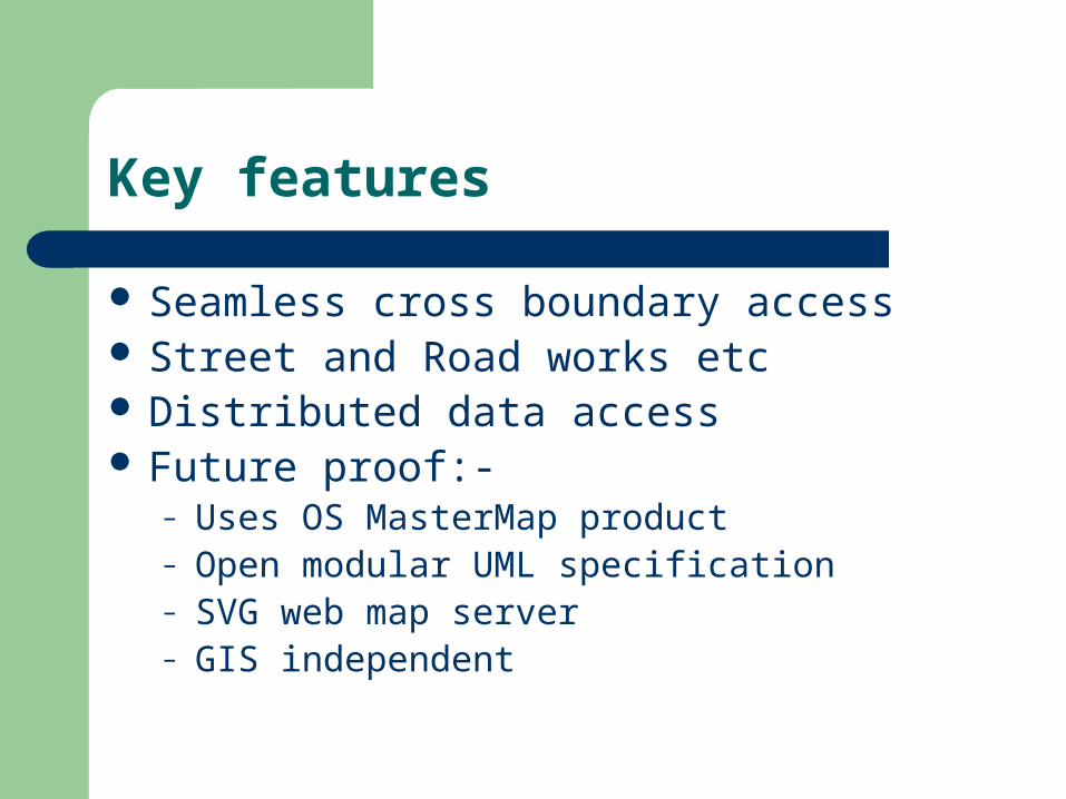
Key features
Seamless cross boundary access Street and Road works etc Distributed data access Future proof:-
– Uses OS MasterMap product– Open modular UML specification– SVG web map server– GIS independent

Tomorrow Today
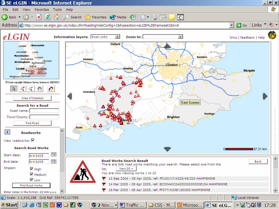
National service being deployed
WWW.eLGIN.GOV.UK
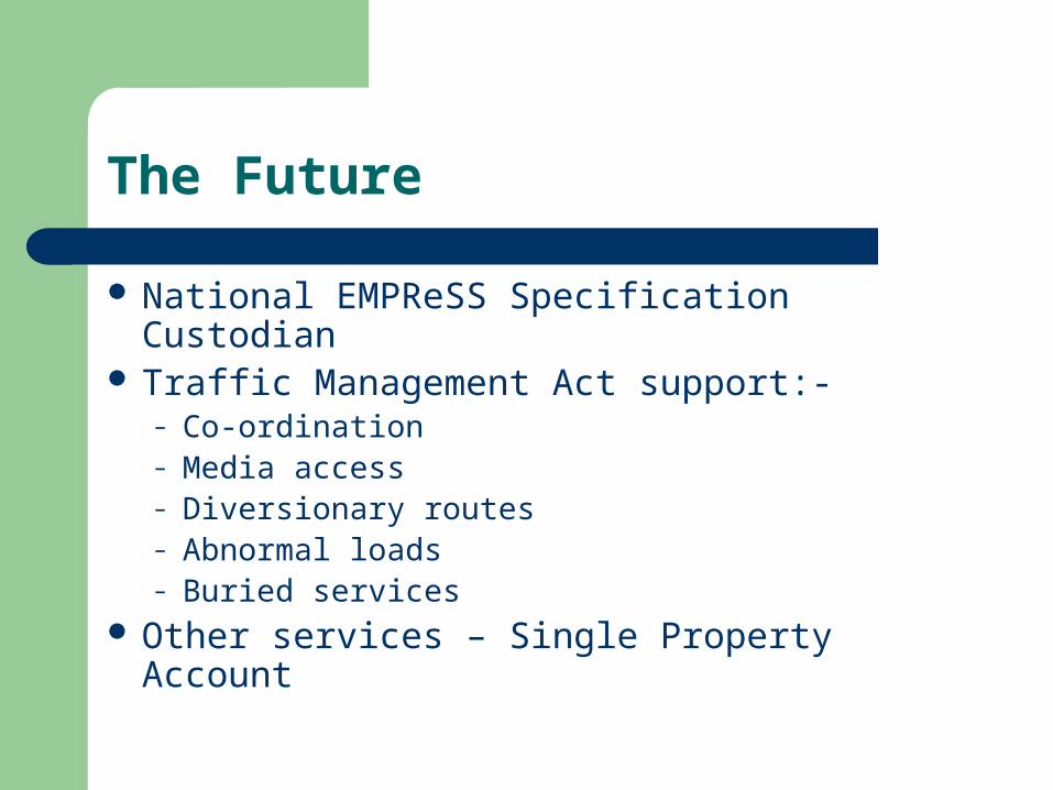
The Future
National EMPReSS Specification Custodian Traffic Management Act support:-
– Co-ordination– Media access– Diversionary routes– Abnormal loads– Buried services
Other services – Single Property Account
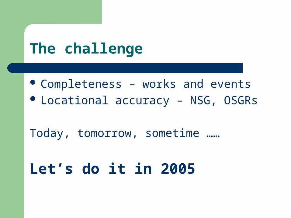
The challenge
Completeness – works and events Locational accuracy – NSG, OSGRs
Today, tomorrow, sometime ……
Let’s do it in 2005