providing new soil survey products to the gis modeling ...€¦ · providing new soil survey...
TRANSCRIPT
U.S. Department of the InteriorU.S. Geological Survey
Providing New Soil Survey Products to the GIS Modeling Community:“National Atlas of Ecosystem Services Project”
2010 Southern Regional Cooperative Soil Survey ConferenceJuly 12, 2010 College Station, Texas
Presented by:Norman B. BlissContractor to USGS EROSContract 08HQCN0007
Coauthors
Norman Bliss, Principal Scientist,ASRC at U.S. Geological Survey, EROS, Sioux Falls, SD
Anne Neale, Research Ecologist, Landscape Ecology Branch, USEPA, Research Triangle Park, NC
Sharon Waltman, Soil Scientist, National Soil Survey Center –Geospatial Research Unit, USDA-NRCS, Morgantown, WV
SSURGO for Modeling

Outline
National Atlas of Ecosystem Services Project Needs of Modelers Gridded SSURGO
SSURGO for Modeling

Objectives
To make detailed soil survey data available to modelers in “easy to use” formats. To use soil survey information to address
pressing national issues such as climate change, biodiversity, and ecosystem services.
SSURGO for Modeling

Examples of Ecosystem Services
SSURGO for Modeling

National Atlas of Ecosystem Services
SSURGO for Modeling
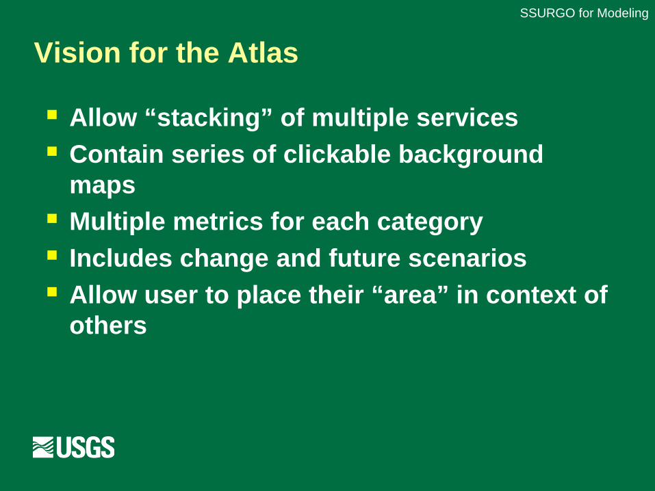
Vision for the Atlas
SSURGO for Modeling
Allow “stacking” of multiple services Contain series of clickable background
maps Multiple metrics for each category Includes change and future scenarios Allow user to place their “area” in context of
others
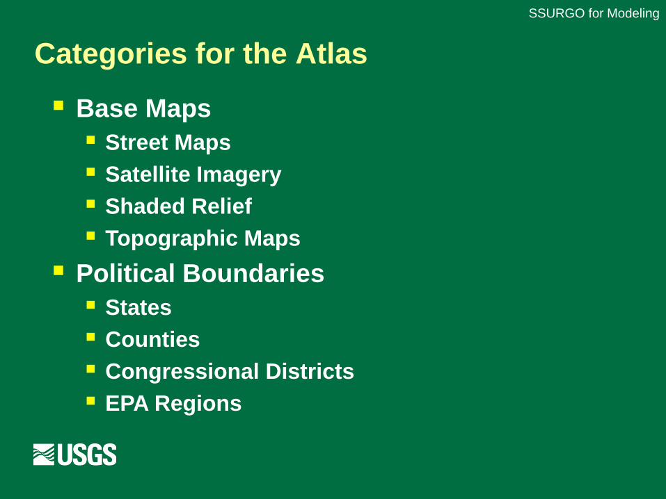
Categories for the Atlas
SSURGO for Modeling
Base Maps Street Maps Satellite Imagery Shaded Relief Topographic Maps
Political Boundaries States Counties Congressional Districts EPA Regions
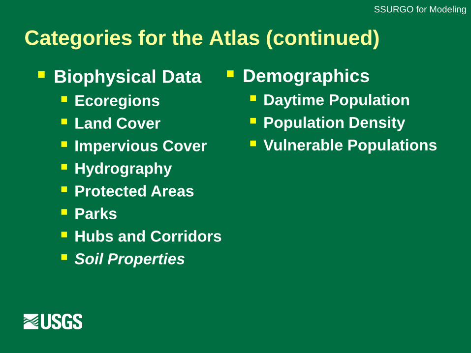
Categories for the Atlas (continued)
SSURGO for Modeling
Biophysical Data Ecoregions Land Cover Impervious Cover Hydrography Protected Areas Parks Hubs and Corridors Soil Properties
Demographics Daytime Population Population Density Vulnerable Populations

Representing multiple ecosystem services
SSURGO for Modeling
Food, Fiber, and Fuels
Water Quality
Climate Regulation
Habitat/Maintenanceof Biodiversity
Cultural, Aesthetic value
Air QualityWaterQuantity/
Timing
Protection from Weather Hazards

Aggregate information by spatial area
SSURGO for Modeling
Drinking Water Sustainability
Water Pollution Regulation
Flood Attenuation Carbon Storage
ES XES X ES X ES X
ES XES X ES X
ES X
ES X
ES X
ES XES X
ES X
ES X
My CongressionalDistrict
Fre
quen
cy o
f Occ
urre
nce
Ecosystem Service X
Drinking Water Sustainability
Water Pollution Regulation
Flood Attenuation Carbon Storage
ES XES X ES X ES X
ES XES X ES X
ES X
ES X
ES X
ES XES X
ES X
ES X
Drinking Water Sustainability
Water Pollution Regulation
Flood Attenuation Carbon Storage
ES XES X ES X ES X
ES XES X ES X
ES X
ES X
ES X
ES XES X
ES X
ES X
My CongressionalDistrict
Fre
quen
cy o
f Occ
urre
nce
Ecosystem Service X
My CongressionalDistrict
Fre
quen
cy o
f Occ
urre
nce My Congressional
District
Fre
quen
cy o
f Occ
urre
nce
Ecosystem Service X
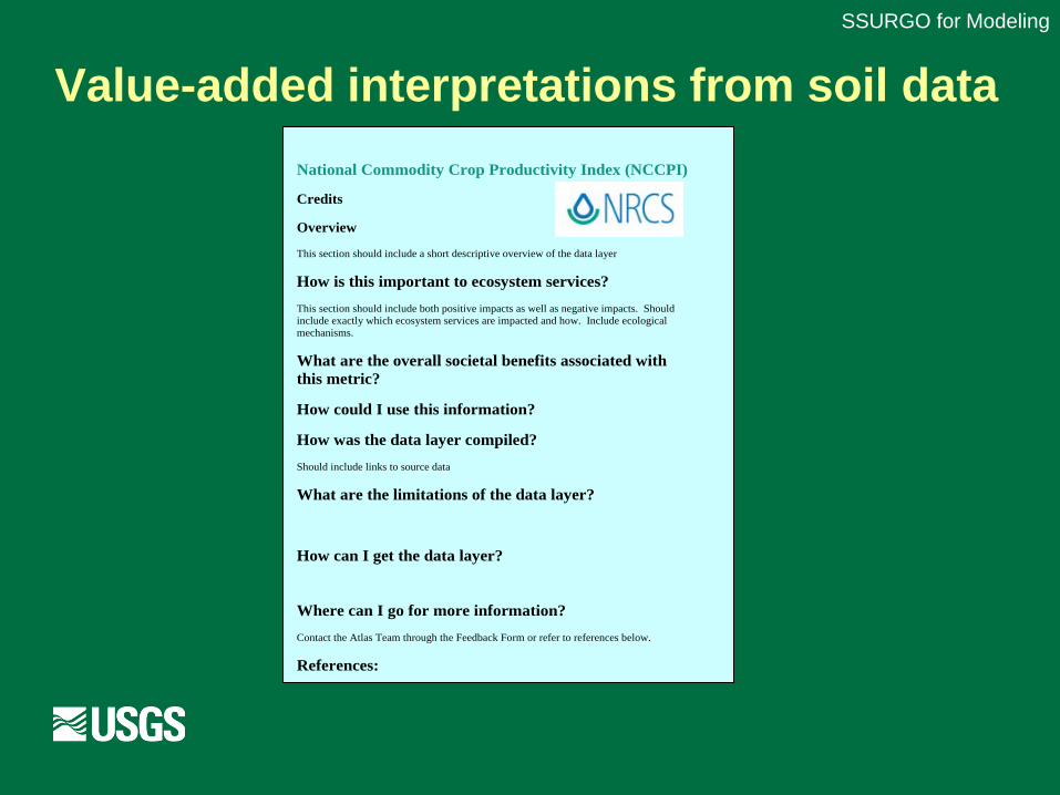
Value-added interpretations from soil data
SSURGO for Modeling
National Commodity Crop Productivity Index (NCCPI)
Credits
Overview
This section should include a short descriptive overview of the data layer
How is this important to ecosystem services?
This section should include both positive impacts as well as negative impacts. Should include exactly which ecosystem services are impacted and how. Include ecological mechanisms.
What are the overall societal benefits associated with this metric?
How could I use this information?
How was the data layer compiled?
Should include links to source data
What are the limitations of the data layer?
How can I get the data layer?
Where can I go for more information?
Contact the Atlas Team through the Feedback Form or refer to references below.
References:
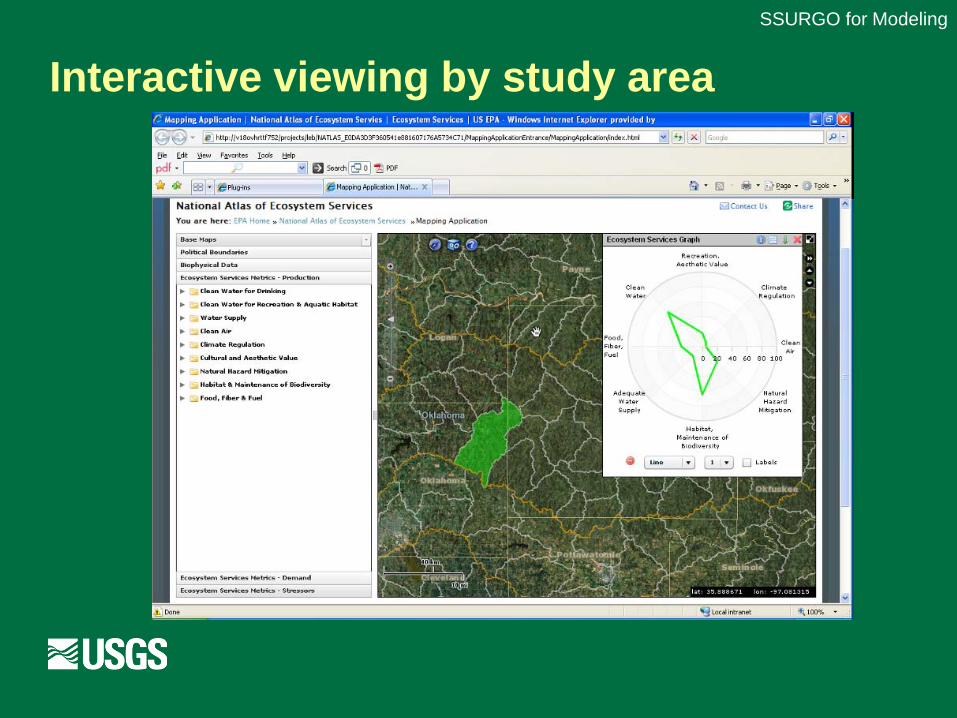
Interactive viewing by study area
SSURGO for Modeling

EPA: National Atlas of Ecosystem Services
Many data sources Landcover (NLCD), NASS crop, Landfire, FORE-SCE
National and regional Midwest (biofuels), Tampa, Willamette, Desert SW
Framework for future EPA work Nonpoint sources of pollution: cumulative picture “Free” services essential to human well-being “Third wave” of conservation efforts (NGOs)
Soils: delivery this year; foundation for other work Modeling, decision support at multiple scales
SSURGO for Modeling
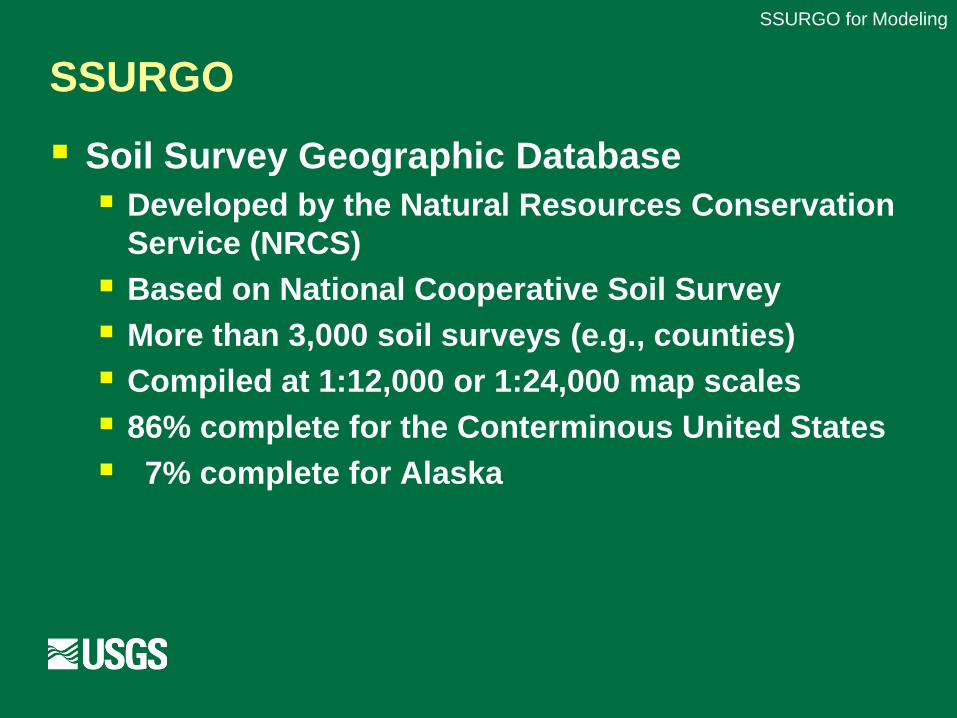
SSURGO
Soil Survey Geographic Database Developed by the Natural Resources Conservation
Service (NRCS) Based on National Cooperative Soil Survey More than 3,000 soil surveys (e.g., counties) Compiled at 1:12,000 or 1:24,000 map scales 86% complete for the Conterminous United States 7% complete for Alaska
SSURGO for Modeling
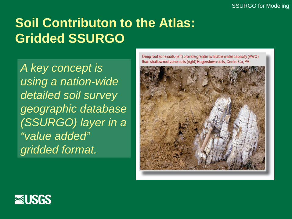
Soil Contributon to the Atlas: Gridded SSURGO
SSURGO for Modeling
A key concept is using a nation-wide detailed soil survey geographic database (SSURGO) layer in a “value added” gridded format.

National vector SSURGO layer
Over 35,000,000 polygons 150+ Gbyte size Powerful computing environments for access Several hours to draw on the screen National views and analyses out of reach for
NCSS soil scientists and their customers
SSURGO for Modeling
Gridded SSURGO
GIS technique makes “grids” from the SSURGO polygon using the mukey (as an integer) Map projection suitable for conterminous
U.S. Multiple resolutions: 10, 30, 90, or 100 m 100 meters creates a 1 hectare cell size
Annual or semi-annual Soil Data Mart snapshot
SSURGO for Modeling
Gridded SSURGO (continued)
R&D SSURGO grids prepared by NSSC (Lincoln and Morgantown) Rapid Assessment of Carbon Deepwater Oil Spill
Used by USGS EROS and EPA to prepare “value added” SSURGO layers Can use standardized depth zones
SSURGO for Modeling

Preview: Soil Organic Carbon
SSURGO for Modeling

Choices for modelers
Even simple queries require choices Modelers wanting water relations should use
attributes that can be properly aggregated AWC is good can sum across horizons and components
Texture is bad Cannot properly compute averages Some models use texture in a look-up-table to get AWC
Use other variables for spatial precision Topography with percentage hydric area No/Yes by pixel for hydric soils (0 or 100%)
SSURGO for Modeling
Choices (cont.)
Option to fill SSURGO gaps with GSM For each query chosen Advantages: More complete (better totals) Disadvantages: More anomalous boundaries Need to use metadata layer giving the source
Metadata questions How do soil properties of a series vary between
survey areas? Approach the “county line anomaly” problem
SSURGO for Modeling
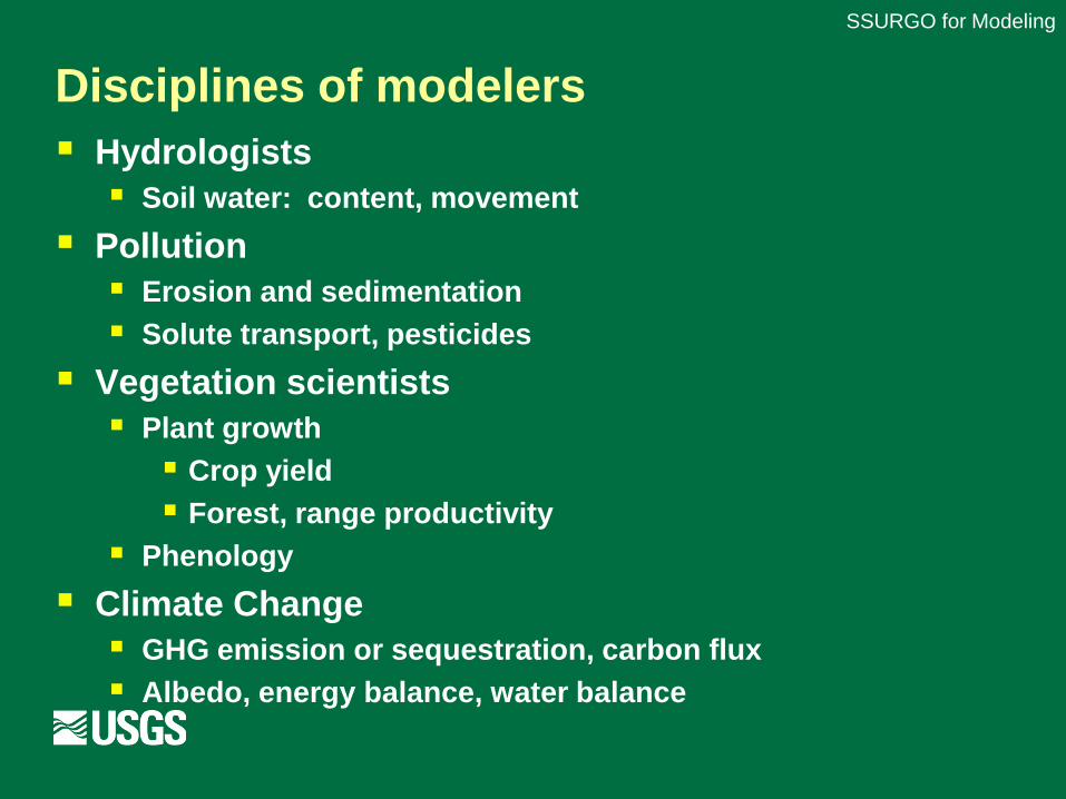
Disciplines of modelers Hydrologists Soil water: content, movement
Pollution Erosion and sedimentation Solute transport, pesticides
Vegetation scientists Plant growth Crop yield Forest, range productivity
Phenology
Climate Change GHG emission or sequestration, carbon flux Albedo, energy balance, water balance
SSURGO for Modeling

Attributes of interest to EROS modelers
Sand, Silt, Clay Texture
Rock content; volume of soil fines Depth to Bedrock; depth of soil Soil carbon Available Water Capacity Root Zone AWC
Permeability (hydrologic conductivity) Percentage hydric soils Erosion model factors Range productivity and ecological site index
SSURGO for Modeling
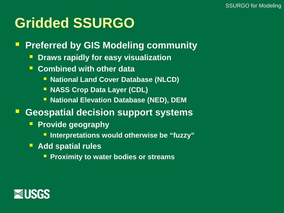
Gridded SSURGO Preferred by GIS Modeling community Draws rapidly for easy visualization Combined with other data National Land Cover Database (NLCD) NASS Crop Data Layer (CDL) National Elevation Database (NED), DEM
Geospatial decision support systems Provide geography Interpretations would otherwise be “fuzzy”
Add spatial rules Proximity to water bodies or streams
SSURGO for Modeling

NLCD and NASS CDLSSURGO for Modeling

SSURGO as VectorsSSURGO for ModelingIowa SSURGO Vector (NCCPI-CORN)
Draw time = 458 seconds
SSURGO for Modeling
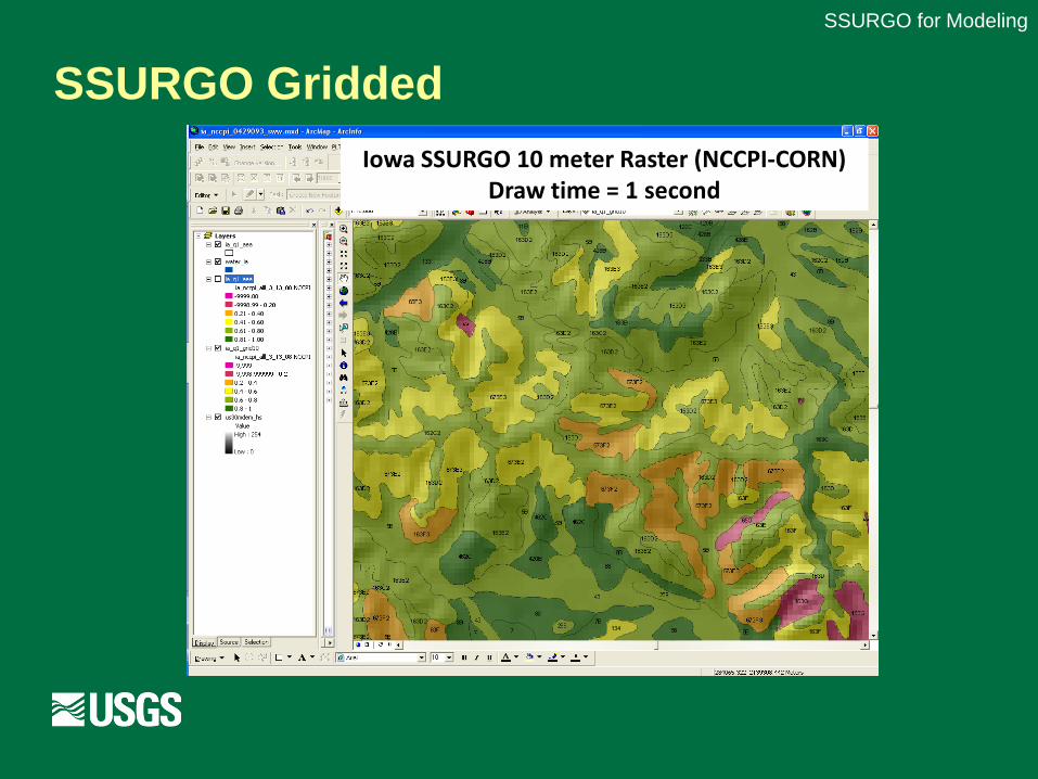
SSURGO Gridded
SSURGO for Modeling
Iowa SSURGO 10 meter Raster (NCCPI-CORN)Draw time = 1 second

Application: Soil Carbon
SSURGO for Modeling
ConclusionsWe calculate the stock of soil organic carbon in the conterminous United States as 73.43 petagrams (Pg). This is greater than the estimate of 61 Pg made from the State Soil Geographic (STATSGO) database in 2003, although the differences represent improvements to the database rather than changes in the carbon on the ground.

NRCS Rapid Assessment of Carbon Project
SSURGO for Modeling
To support the Resource Conservation Act (RCA)

Soil depth
SSURGO for Modeling
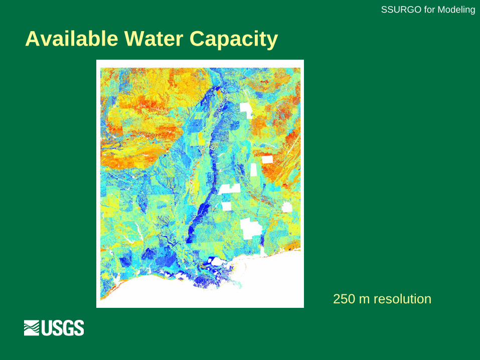
Available Water Capacity
250 m resolution
SSURGO for Modeling
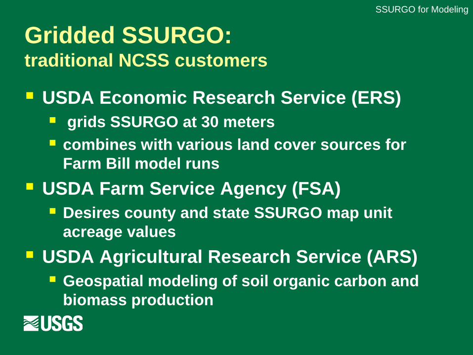
Gridded SSURGO: traditional NCSS customers
USDA Economic Research Service (ERS) grids SSURGO at 30 meters combines with various land cover sources for
Farm Bill model runs
USDA Farm Service Agency (FSA) Desires county and state SSURGO map unit
acreage values
USDA Agricultural Research Service (ARS) Geospatial modeling of soil organic carbon and
biomass production
SSURGO for Modeling
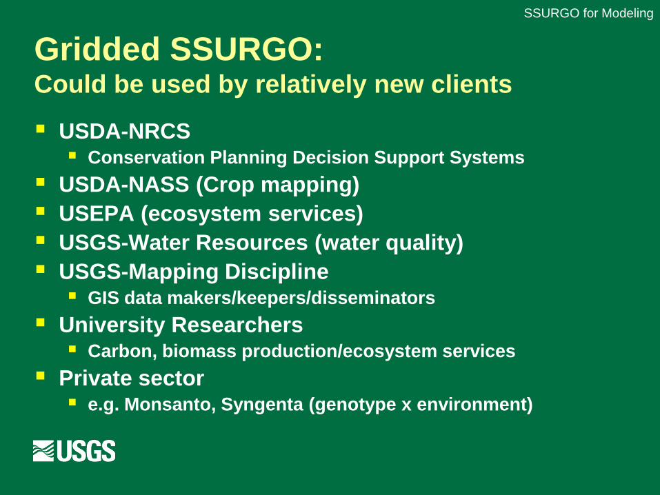
Gridded SSURGO: Could be used by relatively new clients
USDA-NRCS Conservation Planning Decision Support Systems
USDA-NASS (Crop mapping) USEPA (ecosystem services) USGS-Water Resources (water quality) USGS-Mapping Discipline GIS data makers/keepers/disseminators
University Researchers Carbon, biomass production/ecosystem services
Private sector e.g. Monsanto, Syngenta (genotype x environment)
SSURGO for Modeling

Ecosystem Services Gridded SSURGO
Proposed summary levels Component Horizon or Standard Layer Level 0-5, 5-20, 20-50, 50-100, 100-150 cm? SOC/SIC and calculation parameters (SOM, rock fragment conversion factor, bulk density…) Percentages of sand, silt, clay (fine earth fraction) Rock Fragment Content Soil texture class (e.g. silty clay loam) Restrictive layer presence/absence
SSURGO for Modeling
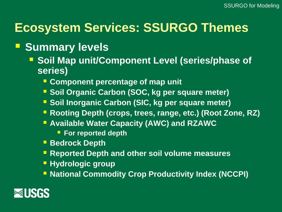
Ecosystem Services: SSURGO Themes
Summary levels Soil Map unit/Component Level (series/phase of
series) Component percentage of map unit Soil Organic Carbon (SOC, kg per square meter) Soil Inorganic Carbon (SIC, kg per square meter) Rooting Depth (crops, trees, range, etc.) (Root Zone, RZ) Available Water Capacity (AWC) and RZAWC For reported depth
Bedrock Depth Reported Depth and other soil volume measures Hydrologic group National Commodity Crop Productivity Index (NCCPI)
SSURGO for Modeling
NSSC “Best Practices” documentedSSURGO for Modeling
Data summary methods
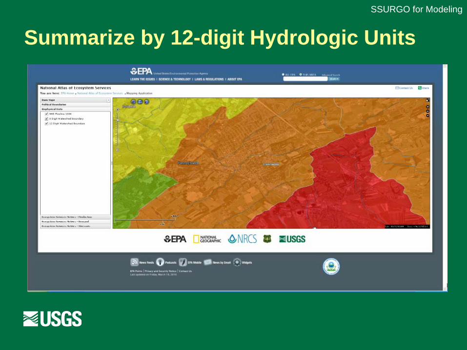
Summarize by 12-digit Hydrologic Units
SSURGO for Modeling

Scalable linkage to Web Soil Survey?SSURGO for Modeling
What do you get when you provide soils data in the gridded SSURGO format that the client desires?