places regions and people
DESCRIPTION
6 th Grade UBD - Unit 1 - Places Regions and People. Places Regions and People. Preview. Types of Maps - There are many types of maps, and they all convey different kinds of information about places . Maps are used to organize and convey information in a quick and readily available way. - PowerPoint PPT PresentationTRANSCRIPT
Places Regions and People
6th Grade UBD - Unit 1 - Places Regions and People
Preview Types of Maps- There are many types of maps, and they all
convey different kinds of information about places. Maps are used to organize and convey information in a quick and readily available way.
Defining Regions- Geographers group sets of places into regions based on shared geographic characteristics. By grouping sets of places with shared characteristics together, geographers can identify and understand patterns and easily compare different locations.
Reach Into Your Background
Imagine that you and your family are driving across the country. The car you are driving is older and has trouble climbing mountain roads, so your parents want to avoid driving through mountainous areas as much as possible. How would you know which routes to take? (5 minutes)
Partner ActivityWork with a
neighbor and compare your answer with theirs. What things are the same and what things are different? (3 minutes)
Key Ideas- Types of Maps
Maps are among geographers’ most important tools. Geographers use maps to answer questions, solve problems, and make comparisons, because maps provide details about a place quickly and easily through visual representations.
The three main types of maps are physical maps, political maps, and thematic (or special purpose) maps. Almost all maps include some type of legend, or key, that explains what the various symbols, colors, and lines on a map mean.
Mapping Our World
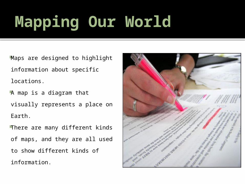
Maps are designed to highlight information about specific locations.
A map is a diagram that visually represents a place on Earth.
There are many different kinds of maps, and they are all used to show different kinds of information.
Mapping Our World
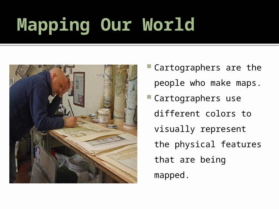
Cartographers are the people who make maps.
Cartographers use different colors to visually represent the physical features that are being mapped.
Key Term
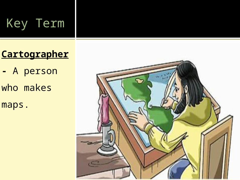
Cartographer- A person who makes maps.
Take A MapReading Handout- Take A Map
Physical Map
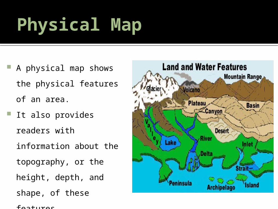
A physical map shows the physical features of an area.
It also provides readers with information about the topography, or the height, depth, and shape, of these features.
Physical maps identify mountains, deserts, bodies of water, and other landforms.
Physical Map
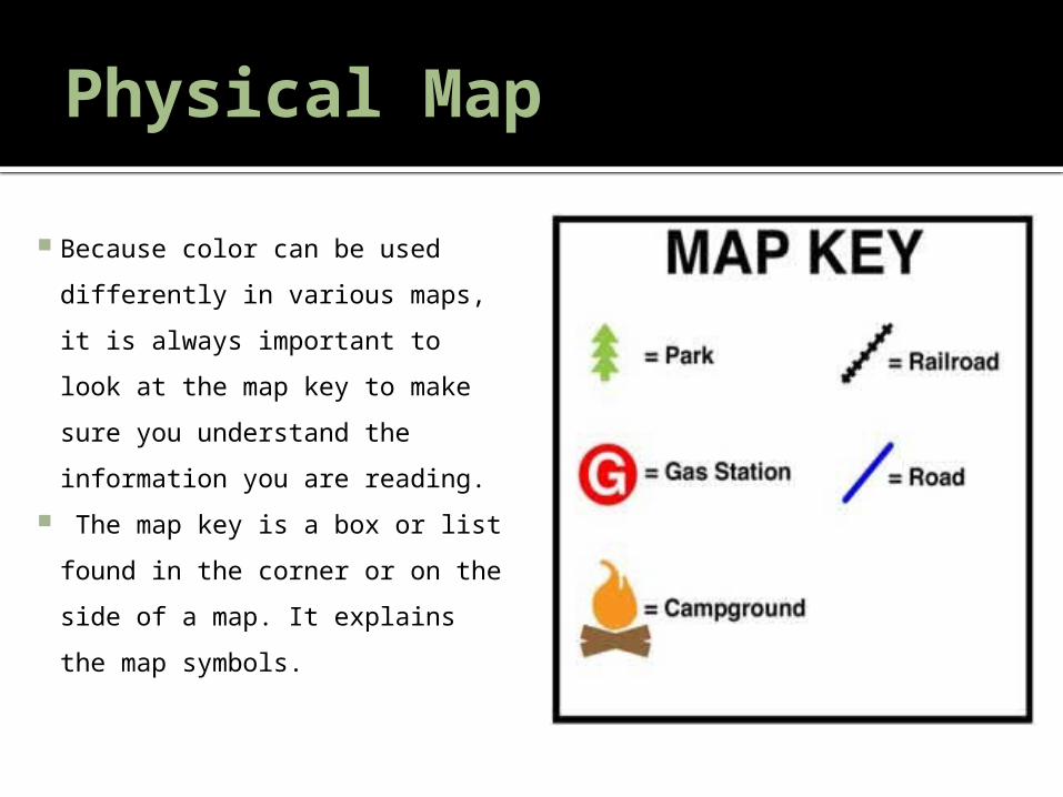
Because color can be used differently in various maps, it is always important to look at the map key to make sure you understand the information you are reading.
The map key is a box or list found in the corner or on the side of a map. It explains the map symbols.
Key Term
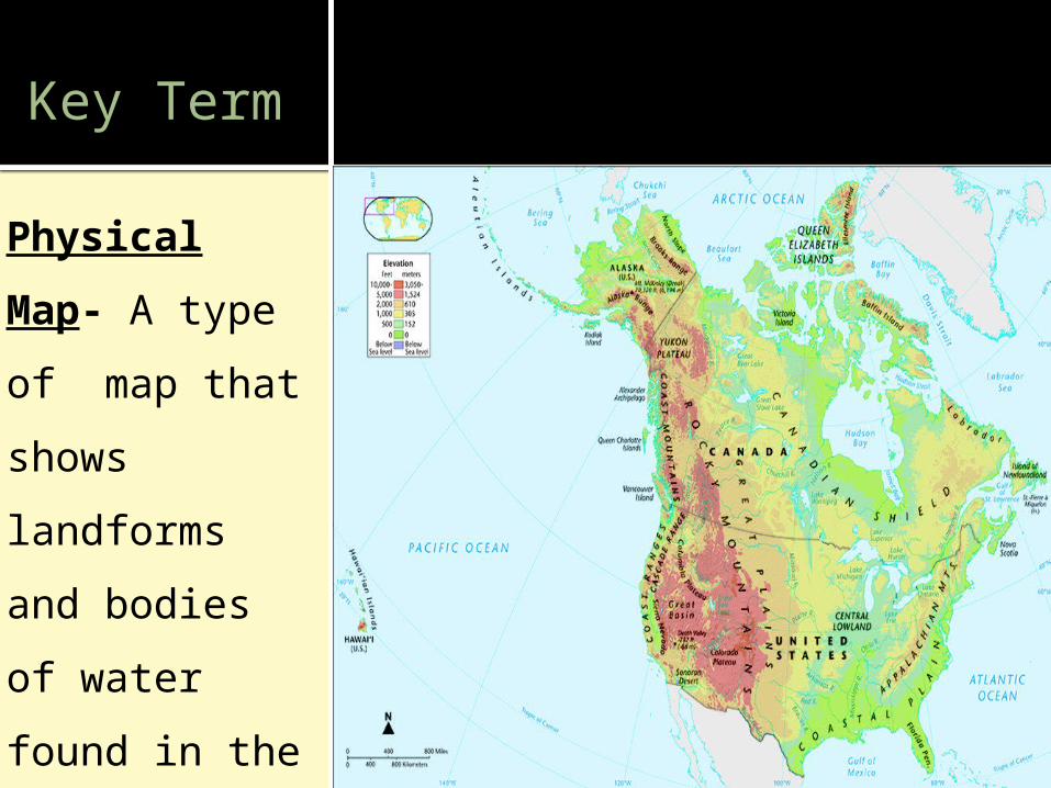
Physical Map- A type of map that shows landforms and bodies of water found in the area -shows the earth's natural features.

Political Maps
Political maps are another common type of map.
Political maps identify political boundaries between places.
A political boundary is the dividing line that separates neighboring areas controlled by different governments or groups.
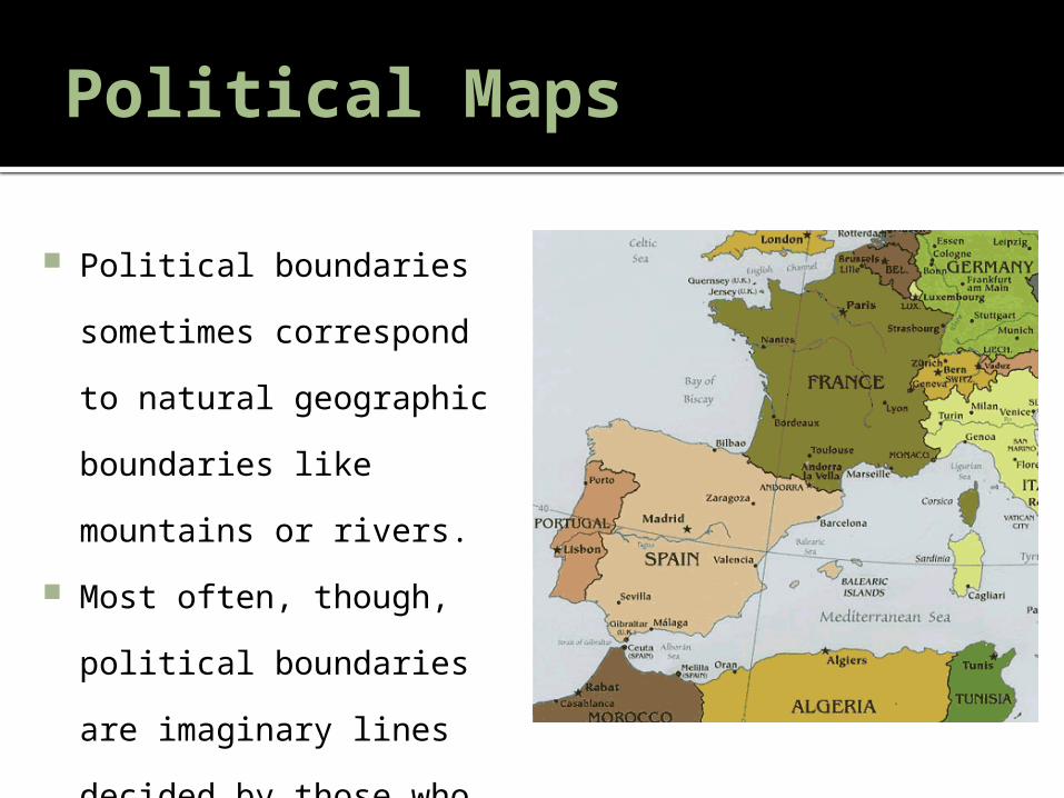
Political Maps
Political boundaries sometimes correspond to natural geographic boundaries like mountains or rivers.
Most often, though, political boundaries are imaginary lines decided by those who hold political power.
Political Maps
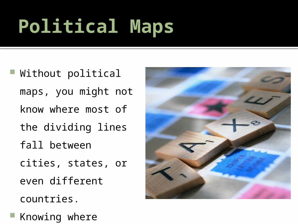
Without political maps, you might not know where most of the dividing lines fall between cities, states, or even different countries.
Knowing where political borders are is very important.
Political Maps
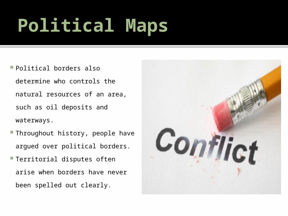
Political borders also determine who controls the natural resources of an area, such as oil deposits and waterways.
Throughout history, people have argued over political borders.
Territorial disputes often arise when borders have never been spelled out clearly.
Key Term
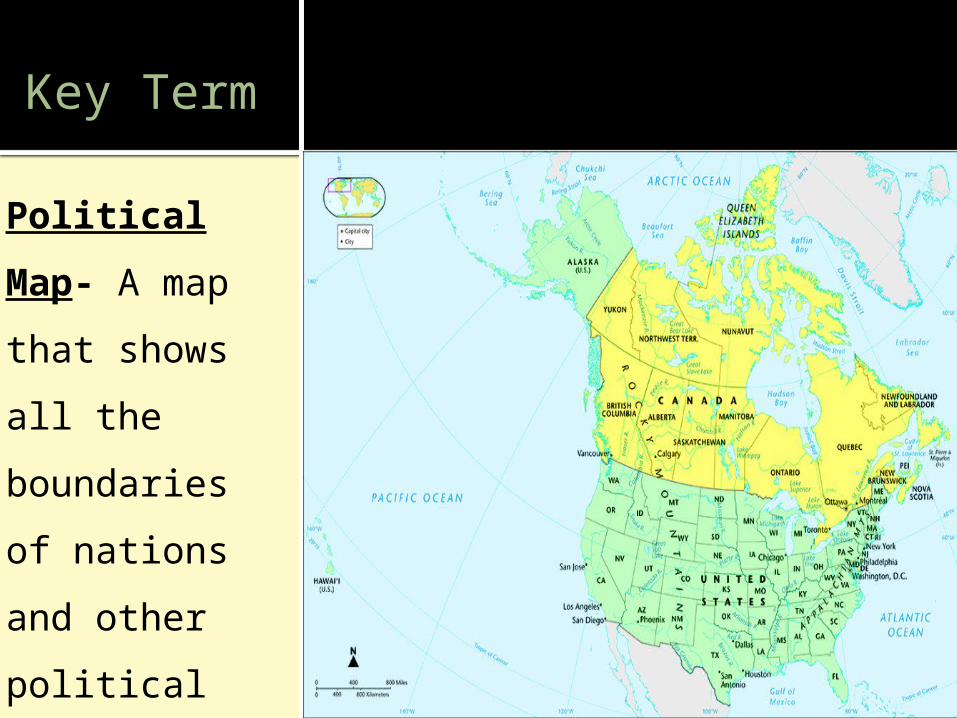
Political Map- A map that shows all the boundaries of nations and other political units.
Thematic Maps
Thematic maps show information related to a certain theme or subject.
Such maps are very useful because they can provide details about a place quickly and easily through visual representations rather than words.
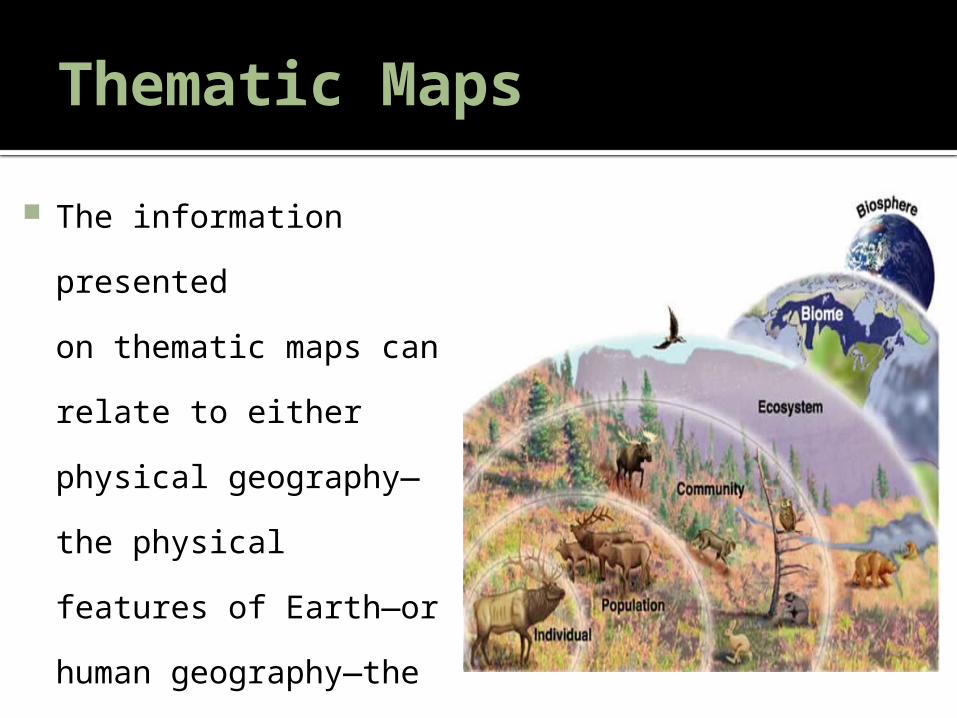
Thematic Maps The information
presented on thematic maps can relate to either physical geography—the physical features of Earth—or human geography—the ways that people interact with the environment.
Thematic Maps
Thematic maps show information about a specific theme or subject. They are also sometimes called special-purpose maps.
Climate maps, vegetation maps, and population density maps are examples of thematic maps.
Thematic maps can be used to help draw conclusions about a particular place, or to compare different locations with one another.
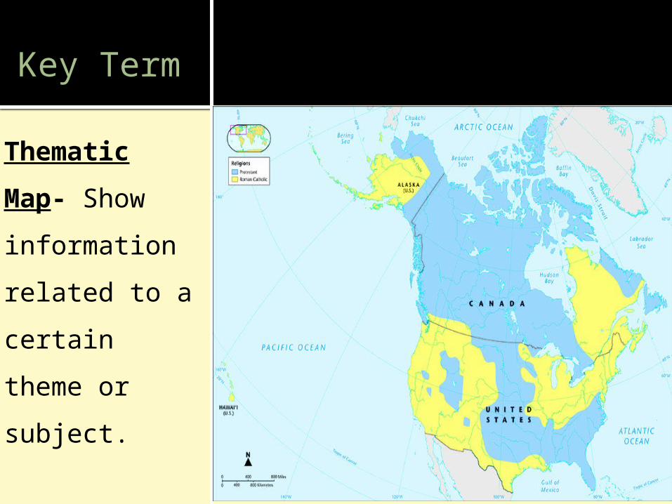
Key Term
Thematic Map- Show information related to a certain theme or subject.
Classroom Activity- Reading MapsClassroom Activity- Reading Maps
Key Ideas- Defining Regions
Dividing the world into regions helps geographers organize information and identify patterns.
Physical regions are defined by physical geography characteristics like landforms and bodies of water.
Cultural regions are defined by human characteristics like religion, language, political borders, and economic industries.
There are many different ways to divide the world and smaller areas into regions.
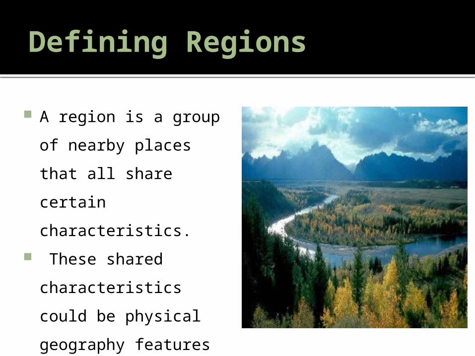
Defining Regions
A region is a group of nearby places that all share certain characteristics.
These shared characteristics could be physical geography features such as similar climate, vegetation, or landforms.
Defining Regions
A region can also be defined by human and cultural features, such as major industries, ethnic populations, languages spoken, or religions practiced.

Physical Regions
Physical regions are defined by having similar landforms or other physical characteristics.
For instance, there are mountainous regions, costal regions, and river valley regions.
There are regions that share a cold, icy climate, and others that are united by a hot, dry climate.
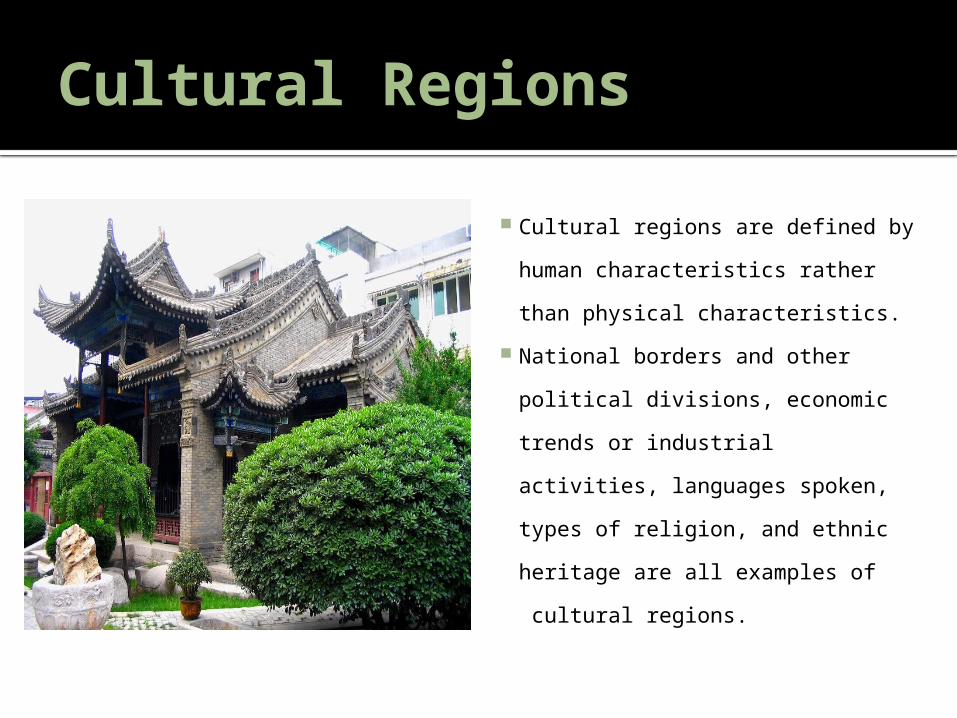
Cultural Regions
Cultural regions are defined by human characteristics rather than physical characteristics.
National borders and other political divisions, economic trends or industrial activities, languages spoken, types of religion, and ethnic heritage are all examples of cultural regions.
RegionsVideo- Regions
Independent Activity
What has been the
“muddiest” point so
far in this lesson? That
is, what topic remains
the least clear to you?
(4 minutes)
Partner Activity Work with a
neighbor and compare your muddiest point with theirs. Compare what things are the same and what things are different? (3 minutes)