p. van der molen
DESCRIPTION
TRANSCRIPT
INTERNATIONAL INSTITUTE FOR GEO-INFORMATION SCIENCE AND EARTH OBSERVATION
E-Land Admin20 November 2007
Paul van der Molen, professor ITC
Director UNU-ITC School Land Administration Studiesdirector Kadaster International

What is a spatially enabled society?
When public sector, private sector and citizens decide, they should have access to spatial information that is meaningful to their decision making process
Integration and sharing of data provides meaningful information, which is impossible in a non-digital environment

How to realize?
Government to safeguard availability and access to spatial data through NSDI
Government to facilitate electronic legal and economic transactions
Data suppliers to organize availability and access to data and services, to deliver quality information
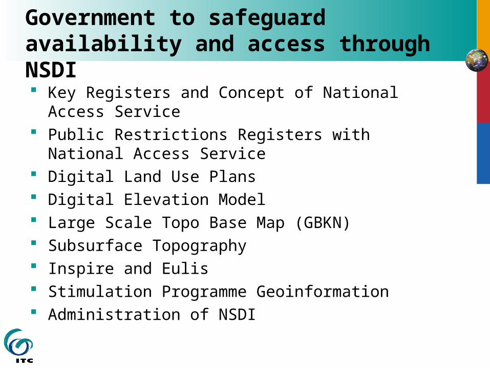
Government to safeguard availability and access through NSDI Key Registers and Concept of National Access
Service Public Restrictions Registers with National
Access Service Digital Land Use Plans Digital Elevation Model Large Scale Topo Base Map (GBKN) Subsurface Topography Inspire and Eulis Stimulation Programme Geoinformation Administration of NSDI
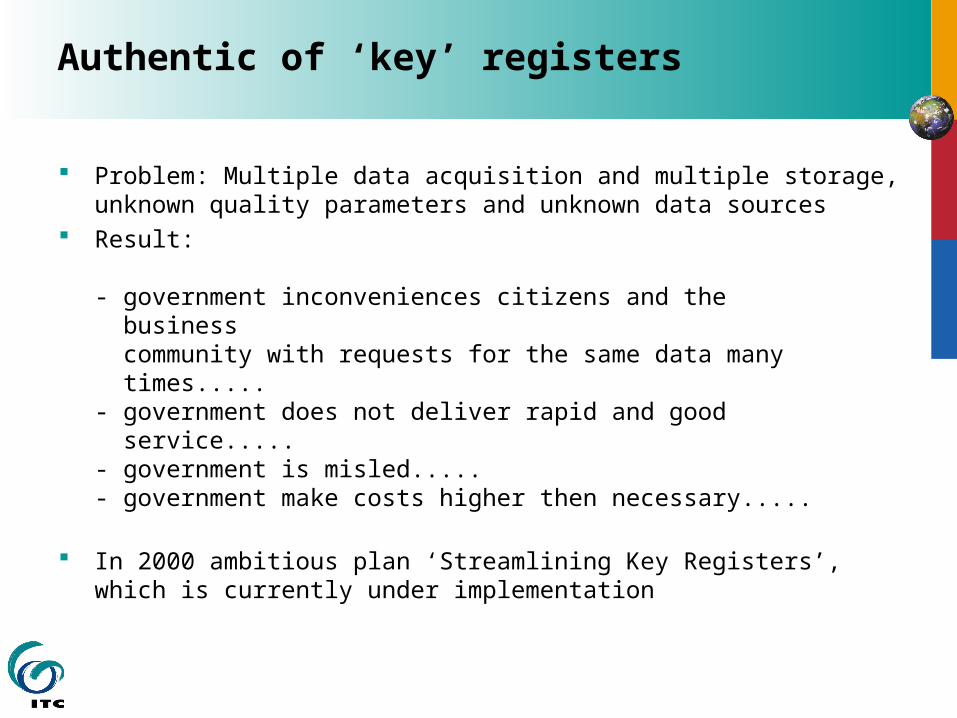
Authentic of ‘key’ registers
Problem: Multiple data acquisition and multiple storage, unknown quality parameters and unknown data sources
Result:
- government inconveniences citizens and the business community with requests for the same data many times.....- government does not deliver rapid and good service.....- government is misled.....- government make costs higher then necessary.....
In 2000 ambitious plan ‘Streamlining Key Registers’, which is currently under implementation

What is a ‘key’ register?
‘A key register is a high quality database accompanied by explicit guarantees ensuring for its quality assurance that, in view of the entirety of statutory duties, contains essential and/or frequently-used data pertaining to persons, institutions, issues, activities or occurrences and which is designed by law as the sole officially recognised register of relevant data to be used by all government agencies and, if possible, by private organisations throughout the entire country, unless important reasons such as the protection of privacy explicitly preclude the use of the register’
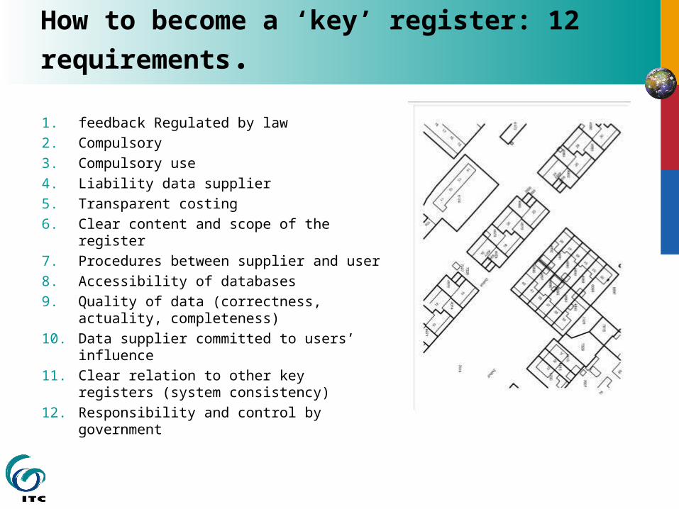
How to become a ‘key’ register: 12
requirements.
1. feedback Regulated by law2. Compulsory 3. Compulsory use 4. Liability data supplier5. Transparent costing6. Clear content and scope of the register7. Procedures between supplier and user8. Accessibility of databases9. Quality of data (correctness, actuality,
completeness)10. Data supplier committed to users’
influence11. Clear relation to other key registers
(system consistency)12. Responsibility and control by
government
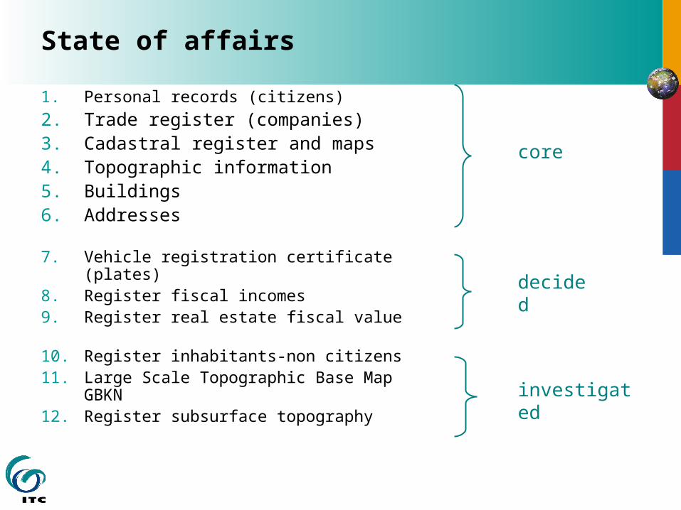
State of affairs
1. Personal records (citizens)2. Trade register (companies)3. Cadastral register and maps4. Topographic information5. Buildings6. Addresses
7. Vehicle registration certificate (plates)8. Register fiscal incomes9. Register real estate fiscal value
10. Register inhabitants-non citizens11. Large Scale Topographic Base Map
GBKN12. Register subsurface topography
core
decided
investigated
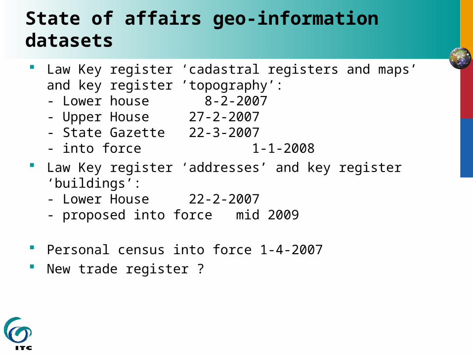
State of affairs geo-information datasets Law Key register ‘cadastral registers and maps’ and key
register ’topography’:- Lower house 8-2-2007- Upper House 27-2-2007- State Gazette 22-3-2007- into force 1-1-2008
Law Key register ‘addresses’ and key register ‘buildings’:- Lower House22-2-2007- proposed into force mid 2009
Personal census into force 1-4-2007 New trade register ?
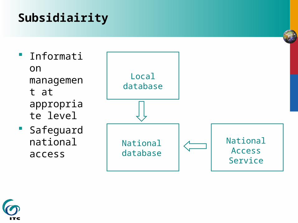
Subsidiairity
Information management at appropriate level
Safeguard national access
Local database
National database
National Access Service
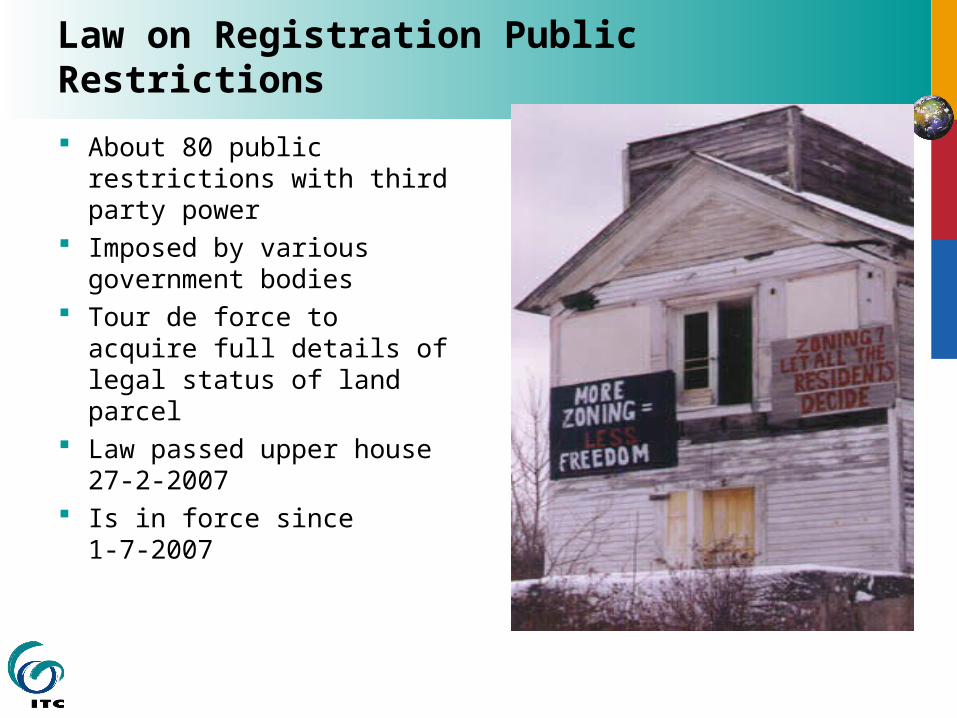
Law on Registration Public Restrictions
About 80 public restrictions with third party power
Imposed by various government bodies
Tour de force to acquire full details of legal status of land parcel
Law passed upper house 27-2-2007
Is in force since 1-7-2007

Scope Act Registration Public Restrictions
National database
Kadaster
Water Boards
municipalitymunicipalitymunicipality
ProvinesHist Monuments Ministries
updates
Inquiry through Kadaster-on-line
updates
Information to Kadaster-on-Line
GEMnet
municipality
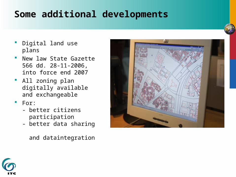
Some additional developments
Digital land use plans New law State
Gazette 566 dd. 28-11-2006, into force end 2007
All zoning plan digitally available and exchangeable
For:- better citizens participation- better data sharing and dataintegration
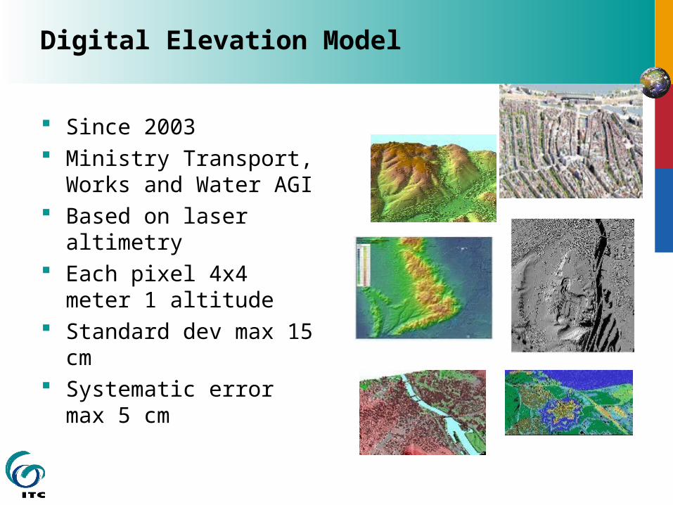
Digital Elevation Model
Since 2003 Ministry Transport,
Works and Water AGI Based on laser
altimetry Each pixel 4x4 meter
1 altitude Standard dev max 15
cm Systematic error max
5 cm
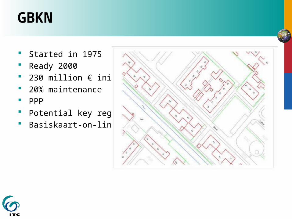
GBKN
Started in 1975 Ready 2000 230 million € initial 20% maintenance PPP Potential key register Basiskaart-on-line
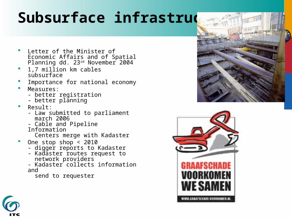
Subsurface infrastructure
Letter of the Minister of Economic Affairs and of Spatial Planning dd. 23rd November 2004
1,7 million km cables subsurface Importance for national economy Measures:
- better registration- better planning
Result: - Law submitted to parliament march 2006- Cable and Pipeline Information Centers merge with Kadaster
One stop shop < 2010- digger reports to Kadaster- Kadaster routes request to network providers - Kadaster collects information and send to requester
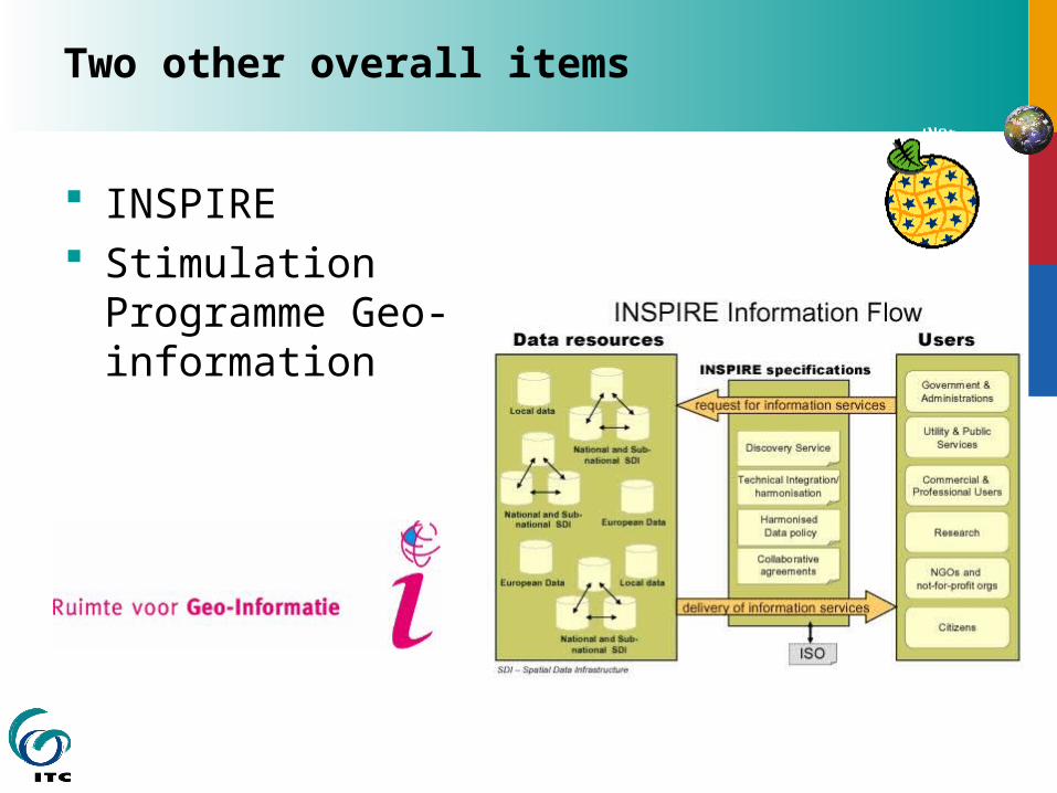
Two other overall items
INSPIRE Stimulation
Programme Geo-information
Administration of NSDI
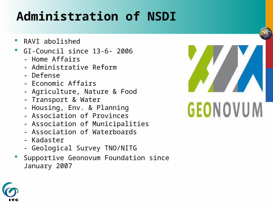
RAVI abolished GI-Council since 13-6- 2006
- Home Affairs- Administrative Reform- Defense- Economic Affairs- Agriculture, Nature & Food- Transport & Water- Housing, Env. & Planning- Association of Provinces- Association of Municipalities- Association of Waterboards- Kadaster- Geological Survey TNO/NITG
Supportive Geonovum Foundation since January 2007

Government to facilitate electronic legal
and economic transactions
Digital Identity for secure transactions
SMS authentication Public Key infrastructure Personal- and Business Unique
numbers Information portal for citizens Administration of key electronic
government services
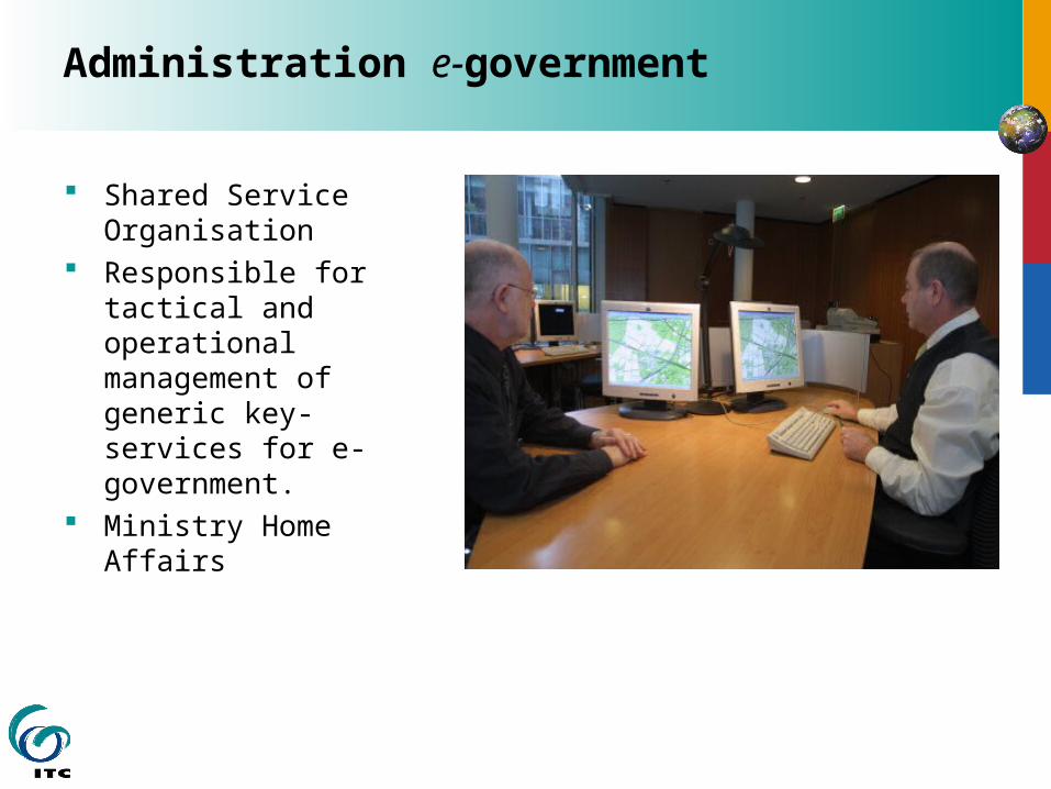
Administration e-government
Shared Service Organisation
Responsible for tactical and operational management of generic key-services for e-government.
Ministry Home Affairs

Datasuppliers to organize availability
and access to quality information Electronic Conveyancing Country wide deed register Country wide register of names of owners Kadaster-on-Line and MyKadaster Making Key registers work (‘Veluwe initiative’) One stop shop for subsurface information e-services 24 hours presence e-mail billing Top10NL database Terz@keEULIS Administration of land administration activity
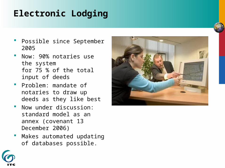
Electronic Lodging
Possible since September 2005
Now: 90% notaries use the systemfor 75 % of the total input of deeds
Problem: mandate of notaries to draw up deeds as they like best
Now under discussion: standard model as an annex (covenant 13 December 2006)
Makes automated updating of databases possible.
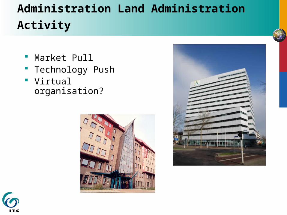
Administration Land Administration
Activity
Market Pull Technology Push Virtual
organisation?
INTERNATIONAL INSTITUTE FOR GEO-INFORMATION SCIENCE AND EARTH OBSERVATION
The ITC-Kadaster School for Land Administration Studies,
for United Nations University
Brown Bag Lunch 20 Nov.2007
Land: an important issue
UN/ECE 1996 Land Administration Guidelines FAO 2002 Land Tenure and Rural Development UN/Habitat 2003 Handbook on Best Practices,
Security of Tenure and Access to Land UN/Habitat 2003 Pro Poor Land Management World Bank 2003 Land Policies for Growth and
Poverty Reduction EU 2004 Guidelines to support land policy design
and reform processes in developing countries World Bank 2005 Doing Business: Remove
Obstacles to Growth
Common approach
Lack of these arrangements lead to land grabbing, conflict, resources misuse, undermines productive and economic potential.
Only innovative institutional arrangements can cope with increasing populations, greater investments in land, economic growth and more social welfare.
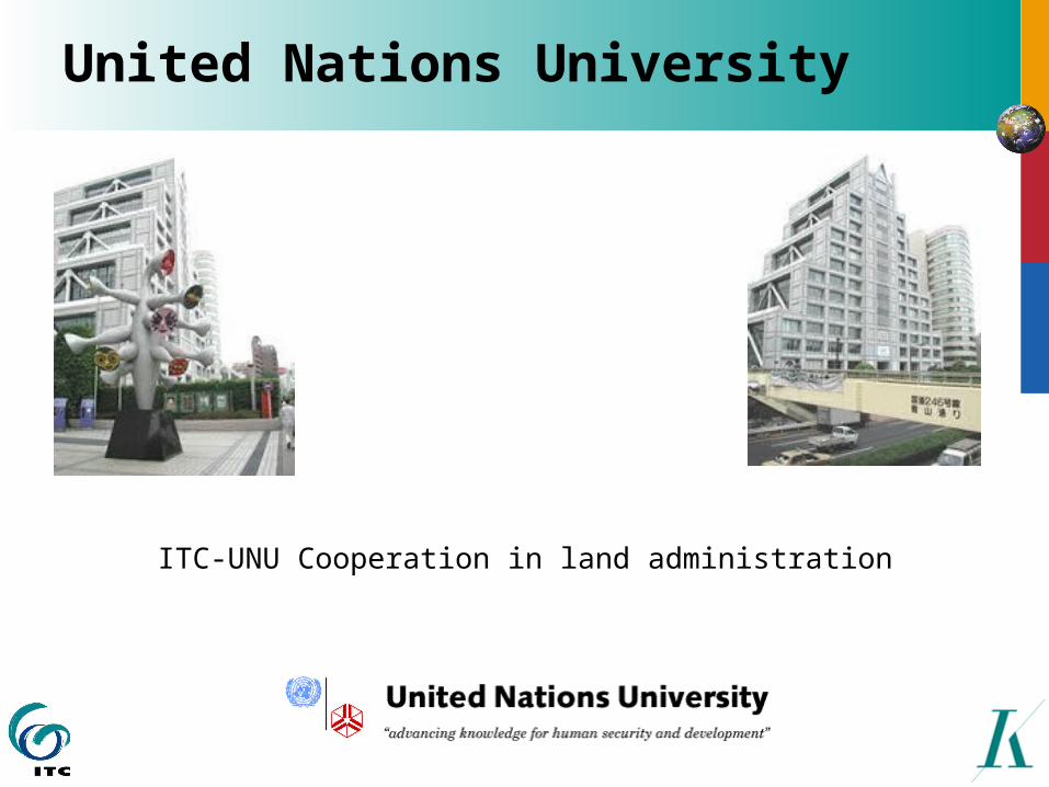
United Nations University
ITC-UNU Cooperation in land administration
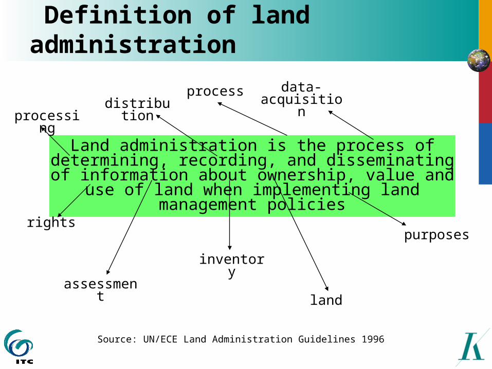
Definition of land administration
Land administration is the process of determining, recording, and disseminating of
information about ownership, value and use of land when implementing land management
policies
processdistributio
n
data-acquisition
processing
inventory
land
purposes
assessment
rights
Source: UN/ECE Land Administration Guidelines 1996
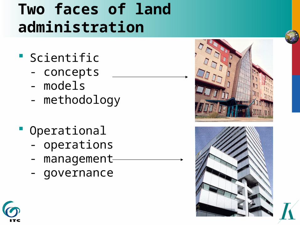
Two faces of land administration
Scientific- concepts- models- methodology
Operational- operations- management- governance
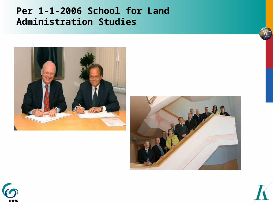
Per 1-1-2006 School for Land Administration Studies

Portfolio School
UNU-Annual Decision Makers Meeting (Windhoek Dec. 2006, Tokyo 2007, Dar es Salaam 2008)
UNU-Short Training Courses (Ghana June 2006, Indonesia Sept. 2006, Vietnam 2007, China 2008)
UNU-Symposia (EGM UN/WB/FIG Bangkok Dec. 2005, Nairobi 2006, Tashkent 2007)
UNU-Networking (ITC Alumni Network)
ITC-Land Administration MSc. (start Sept. 2007) ITC-Research (start Oct. 2006) ITC-Advisory Services (UN/Habitat Transparency)

New MSc. Land Administration
ICT LA RESEARCH
Governance
Information
Management
Data acquisition
12 weeks 15 weeks 6 weeks 39 weeks
MScPGD
PM
Certificates
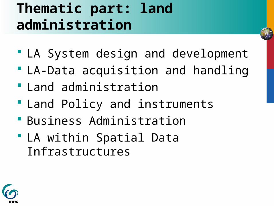
Thematic part: land administration
LA System design and development LA-Data acquisition and handling Land administration Land Policy and instruments Business Administration LA within Spatial Data
Infrastructures
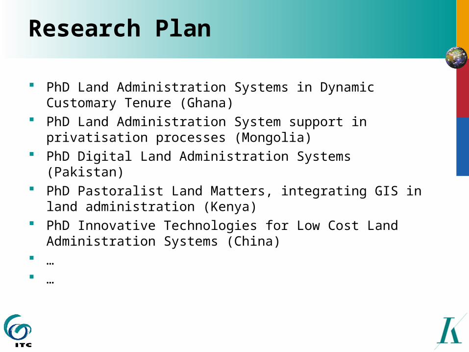
Research Plan
PhD Land Administration Systems in Dynamic Customary Tenure (Ghana)
PhD Land Administration System support in privatisation processes (Mongolia)
PhD Digital Land Administration Systems (Pakistan) PhD Pastoralist Land Matters, integrating GIS in land
administration (Kenya) PhD Innovative Technologies for Low Cost Land
Administration Systems (China) … …
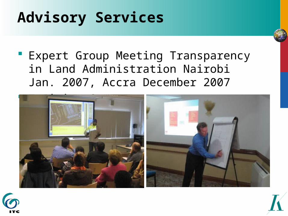
Advisory Services
Expert Group Meeting Transparency in Land Administration Nairobi Jan. 2007, Accra December 2007
Training Courses
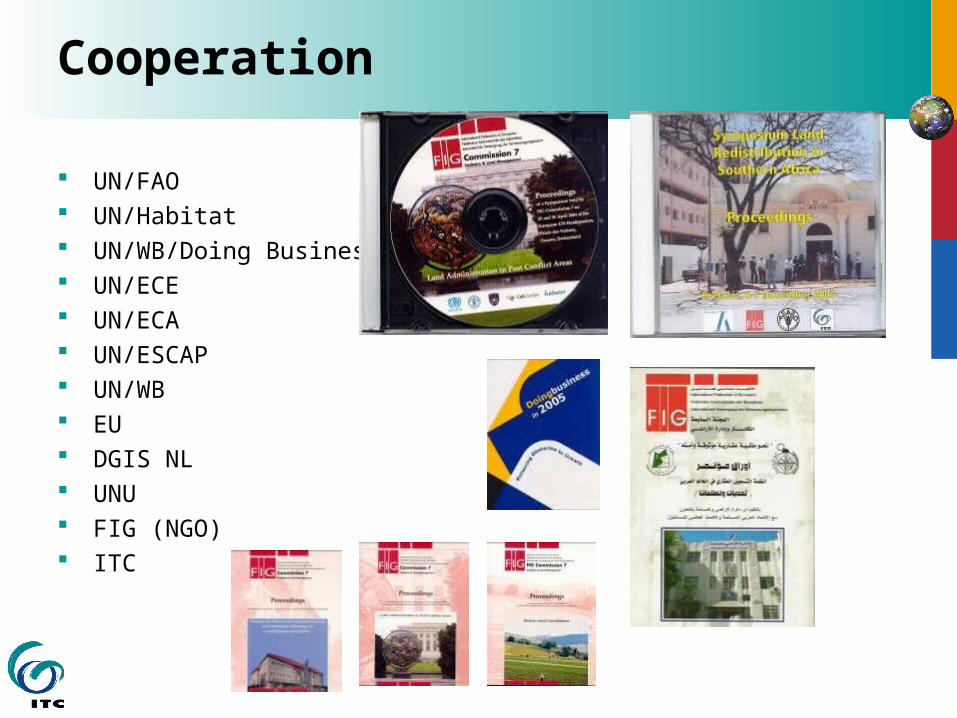
Cooperation
UN/FAO UN/Habitat UN/WB/Doing Business UN/ECE UN/ECA UN/ESCAP UN/WB EU DGIS NL UNU FIG (NGO) ITC

UNU School for Land Administration Studies
INTERNATIONAL INSTITUTE FOR GEO-INFORMATION SCIENCE AND EARTH OBSERVATION
Thank you