may 2011 oracle spatial user...
TRANSCRIPT
May 2011 Oracle Spatial User Conference

Oracle Spatial User Conference!
May 19, 2011 Ronald Reagan Building and International Trade Center
Washington, DC USA

Using Oracle Spatial
May 2011 Oracle Spatial User Conference
for
Cloud-Based Point Cloud Data Management
Todd Rothermel VP, Operations, Incubation
Tim Howerton Software Developer
May 2011 Oracle Spatial User Conference
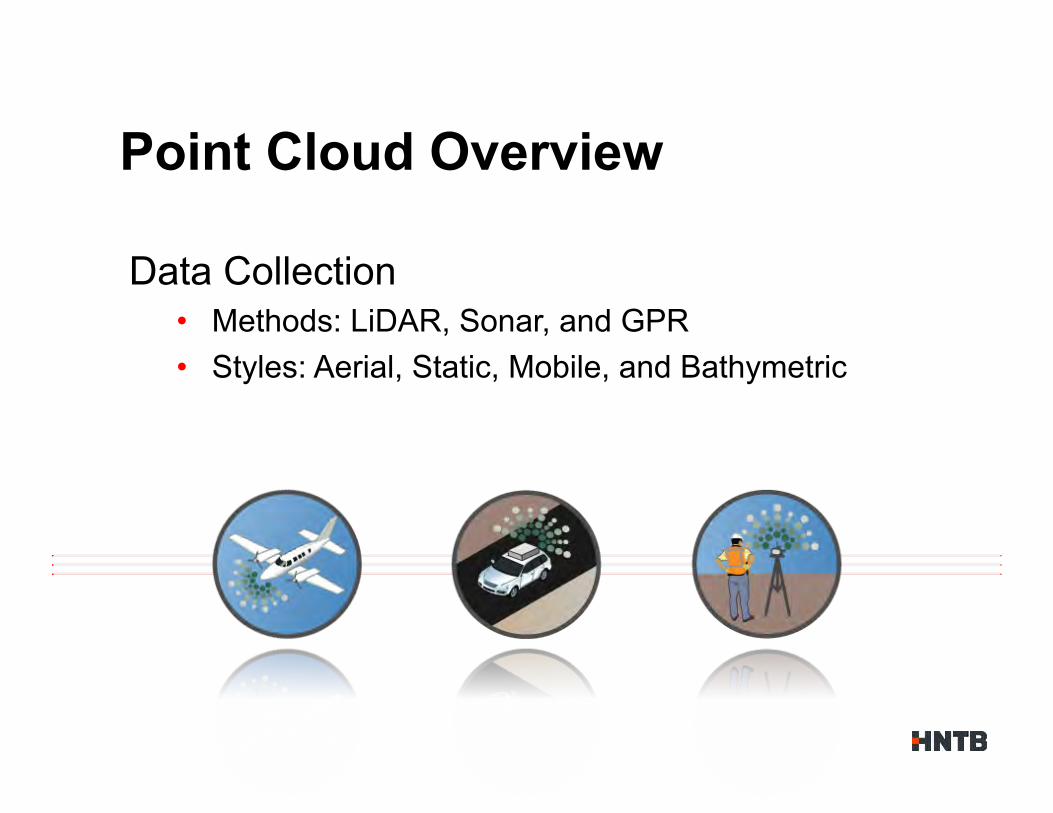
Data Collection • Methods: LiDAR, Sonar, and GPR • Styles: Aerial, Static, Mobile, and Bathymetric
Point Cloud Overview
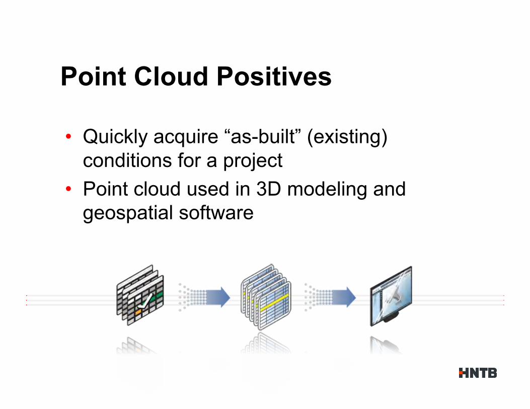
• Quickly acquire “as-built” (existing) conditions for a project
• Point cloud used in 3D modeling and geospatial software
Point Cloud Positives
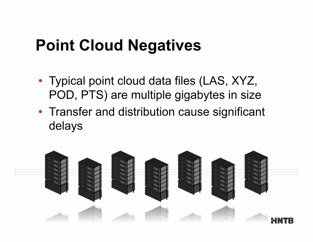
• Typical point cloud data files (LAS, XYZ, POD, PTS) are multiple gigabytes in size
• Transfer and distribution cause significant delays
Point Cloud Negatives
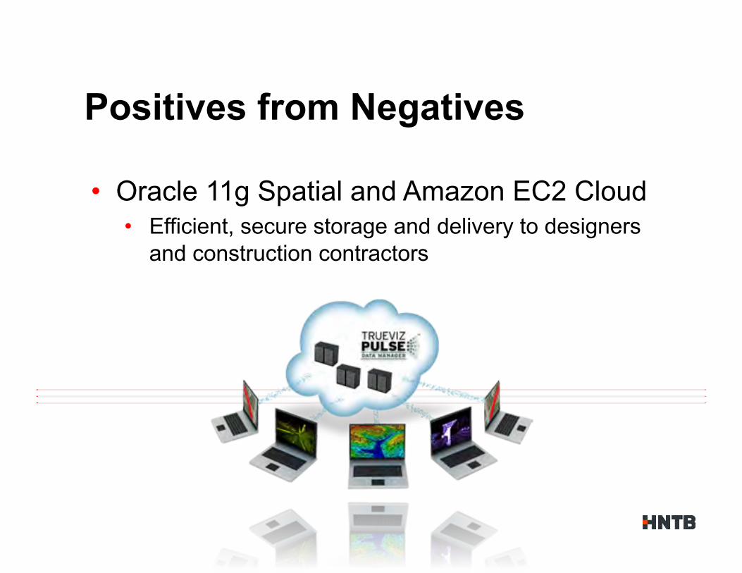
Positives from Negatives
• Oracle 11g Spatial and Amazon EC2 Cloud • Efficient, secure storage and delivery to designers
and construction contractors

• Combines extensive 3-D design expertise with unique tools and workflows
• Acquires, optimizes, extracts and leverages LiDAR point cloud data
• Utilizes point cloud data from design through construction
Enter TrueViz PULSE™
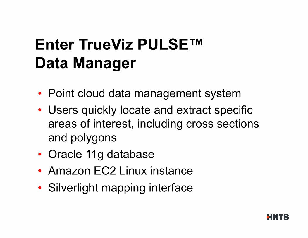
• Point cloud data management system • Users quickly locate and extract specific
areas of interest, including cross sections and polygons
• Oracle 11g database • Amazon EC2 Linux instance • Silverlight mapping interface
Enter TrueViz PULSE™ Data Manager

• 11gR2 database on Oracle Enterprise Linux • DB created on Amazon EC2 instance • Setup using image provided by Oracle • RMAN configured for S3 data file backup
• EBS volumes attached to server as storage devices • Raw devices used as data files for Tablespace(s) • On-demand storage as new LiDAR data is collected
Oracle Spatial in the cloud
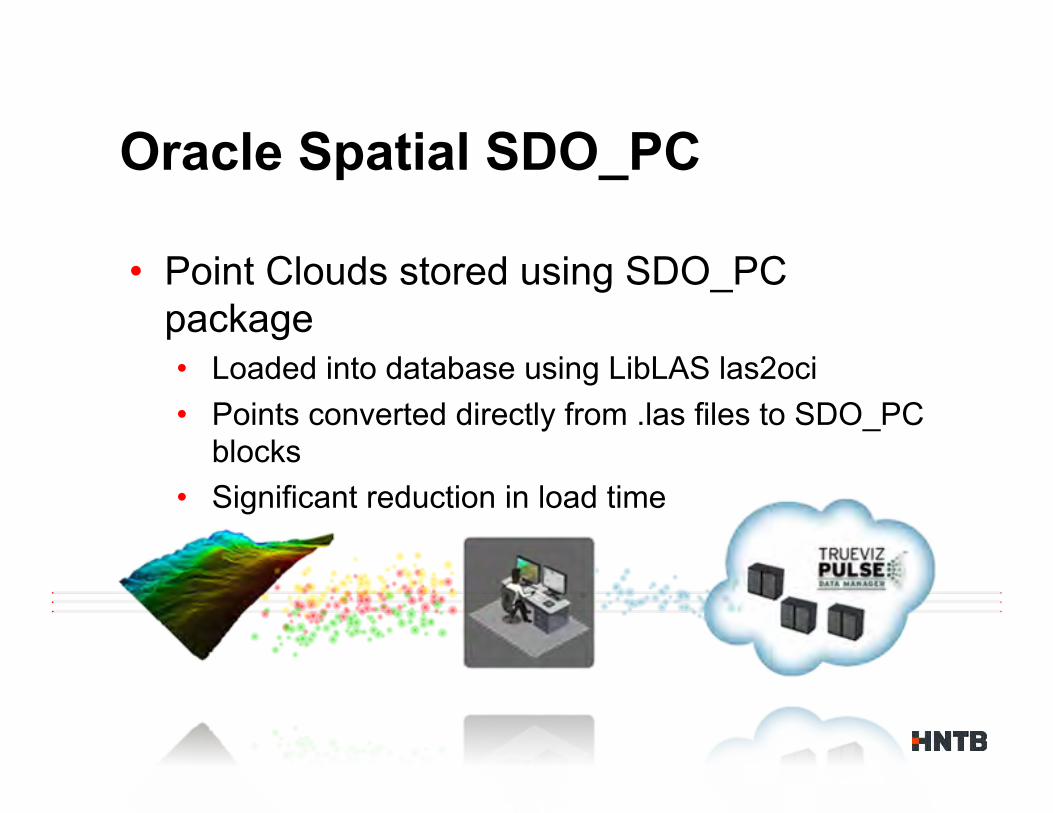
• Point Clouds stored using SDO_PC package • Loaded into database using LibLAS las2oci • Points converted directly from .las files to SDO_PC
blocks • Significant reduction in load time
Oracle Spatial SDO_PC
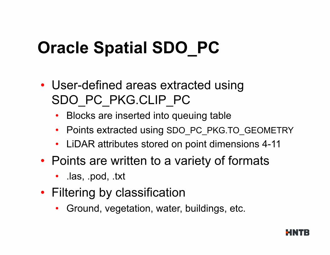
• User-defined areas extracted using SDO_PC_PKG.CLIP_PC • Blocks are inserted into queuing table • Points extracted using SDO_PC_PKG.TO_GEOMETRY • LiDAR attributes stored on point dimensions 4-11
• Points are written to a variety of formats • .las, .pod, .txt
• Filtering by classification • Ground, vegetation, water, buildings, etc.
Oracle Spatial SDO_PC
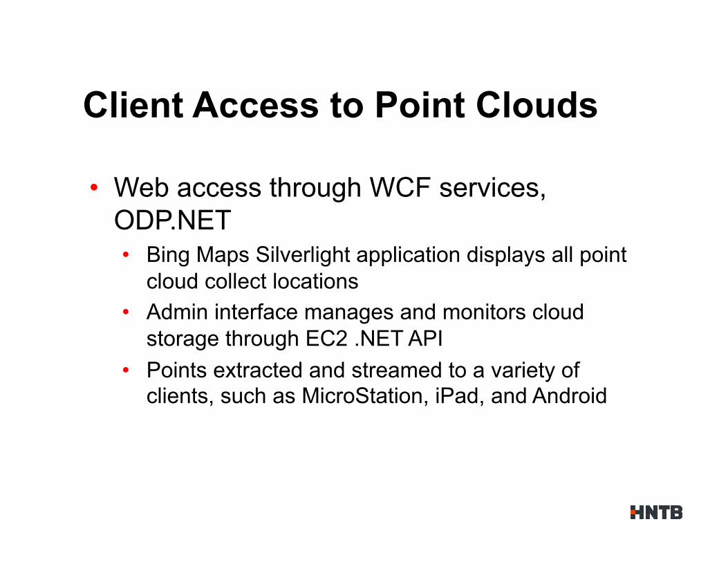
• Web access through WCF services, ODP.NET • Bing Maps Silverlight application displays all point
cloud collect locations • Admin interface manages and monitors cloud
storage through EC2 .NET API • Points extracted and streamed to a variety of
clients, such as MicroStation, iPad, and Android
Client Access to Point Clouds
D E M O N S T R A T I O N
May 2011 Oracle Spatial User Conference
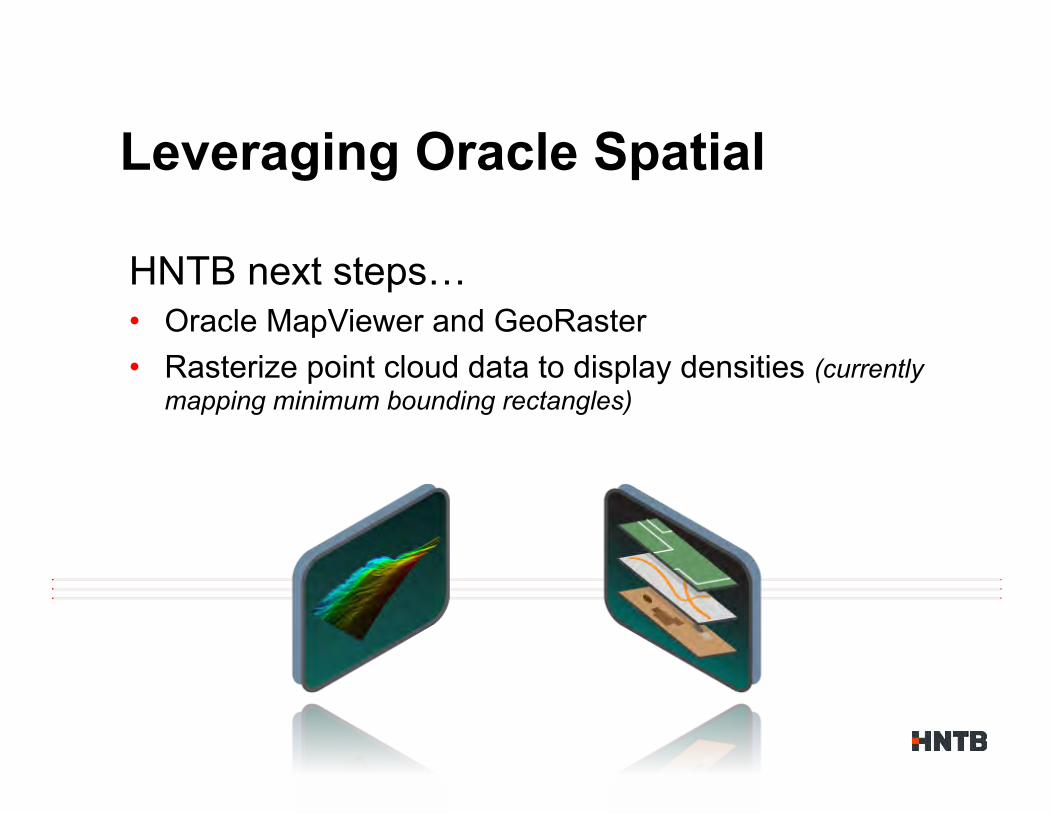
HNTB next steps… • Oracle MapViewer and GeoRaster • Rasterize point cloud data to display densities (currently
mapping minimum bounding rectangles)
Leveraging Oracle Spatial
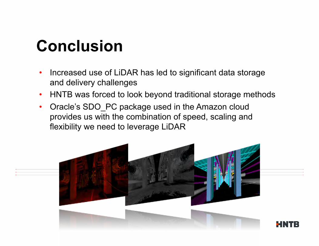
• Increased use of LiDAR has led to significant data storage and delivery challenges
• HNTB was forced to look beyond traditional storage methods • Oracle’s SDO_PC package used in the Amazon cloud
provides us with the combination of speed, scaling and flexibility we need to leverage LiDAR
Conclusion

A Q &
