mapping resources for management planning on-line gis “plat” maps topographic maps aerial photos...
TRANSCRIPT

Mapping Resources for Mapping Resources for Management PlanningManagement Planning
On-line GIS On-line GIS
““Plat” mapsPlat” maps
Topographic mapsTopographic maps
Aerial photosAerial photos
Soil mapsSoil maps

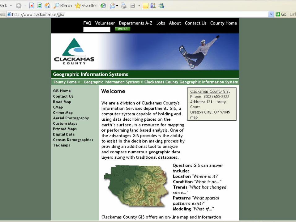
Get “plat” maps from...Get “plat” maps from...Clackamas County GISClackamas County GIShttp://www.ckackamashttp://www.ckackamas.us/gis.us/gisClick on the CMap link.Click on the CMap link.
Can print out maps, photos, topographic features, property Can print out maps, photos, topographic features, property boundaries, in any scaleboundaries, in any scale
The Oregon Map The Oregon Map http://www.ormap.comhttp://www.ormap.comState of Oregon GIS: http://www.gis.state.or.usState of Oregon GIS: http://www.gis.state.or.us
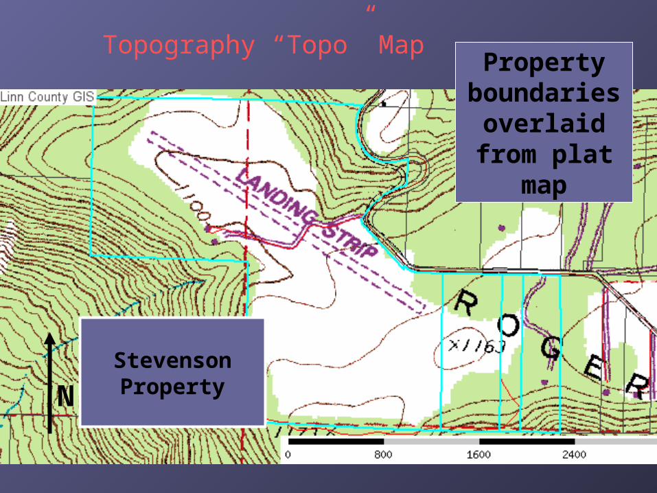
Stevenson Property
Property boundaries
overlaid from plat map
N
Topography “Topo” Map

Get topo maps from...Get topo maps from...
LocatOR at Oregon Department of Forestry: LocatOR at Oregon Department of Forestry: http://oregon.gov/ODF/index.shtmlhttp://oregon.gov/ODF/index.shtml
Click on GIS on left index bar, then click on LocatOR linkClick on GIS on left index bar, then click on LocatOR link
US Geological Service:US Geological Service:http://www.usgs.gov/http://www.usgs.gov/
Bureau of Land ManagementBureau of Land Management http://www.or.blm.gov/recreation.htm http://www.or.blm.gov/recreation.htm
Free Website: Mytopo.comFree Website: Mytopo.com
REI, Cabellas, etc.REI, Cabellas, etc.
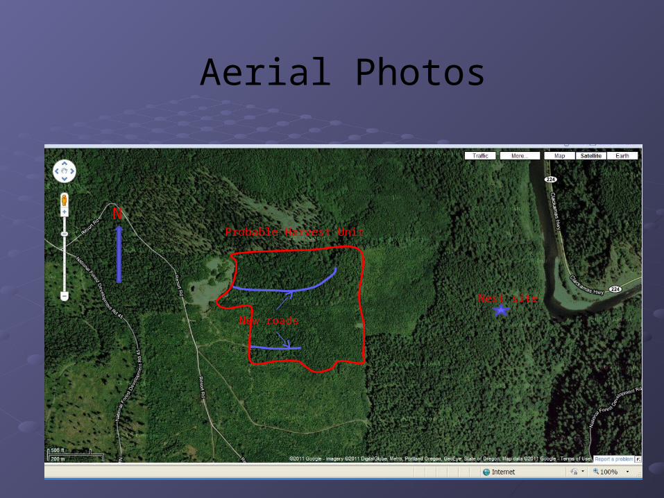
Aerial Photos
N
Nest site
New roads
Probable Harvest Unit
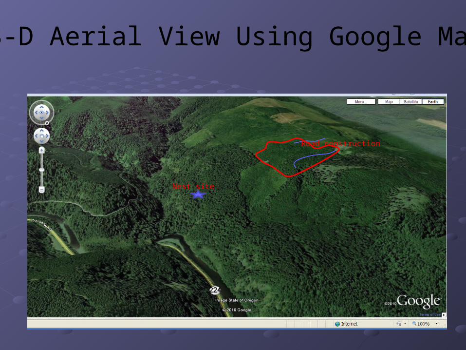
3-D Aerial View Using Google Map
Nest site
Road construction
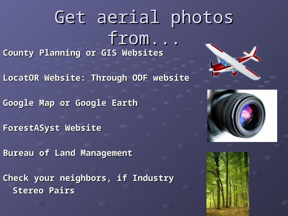
Get aerial photos from...Get aerial photos from...County Planning or GIS WebsitesCounty Planning or GIS Websites
LocatOR Website: Through ODF websiteLocatOR Website: Through ODF website
Google Map or Google EarthGoogle Map or Google Earth
ForestASyst WebsiteForestASyst Website
Bureau of Land ManagementBureau of Land Management
Check your neighbors, if IndustryCheck your neighbors, if Industry
Stereo PairsStereo Pairs
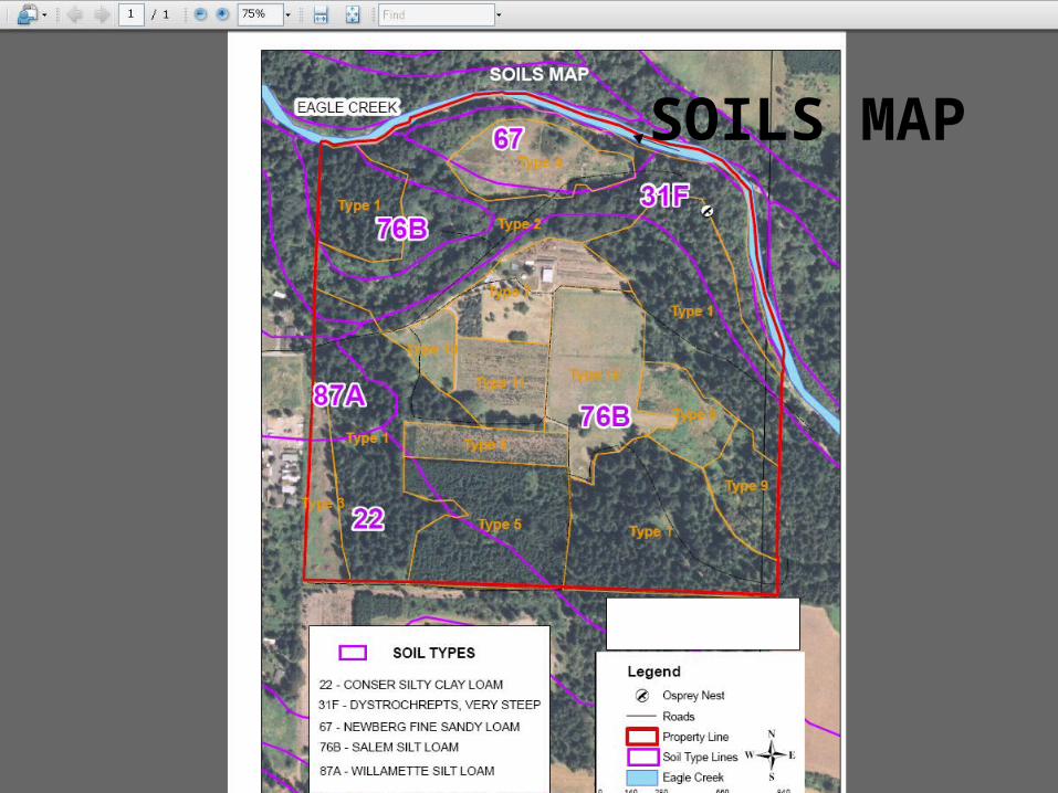
SOILS MAP