intro. to gis lecture 4 data: data storage, creation & editing
TRANSCRIPT

Intro. To GISLecture 4
Data:data storage, creation &
editing

How is data stored?
• Shapefiles are still a popular format– Consist of several separate files:• .dbf = attribute table• .prj = projection file• .shp = contains geometry information
• Geodatabases are becoming more common– File vs. Personal Geodatabase

GeodatabaseThe geodatabase is the common data storage and management framework for ArcGIS. It combines "geo" (spatial data) with "database" (data repository) to create a central data repository for spatial data storage and management. It can be leveraged in desktop, server, or mobile environments and allows you to store GIS data in a central location for easy access and management.
Geodatabase
The geodatabase offers you the ability to:• Store a rich collection of spatial data in a centralized location. • Apply sophisticated rules and relationships to the data. • Define advanced geospatial relational models (e.g.,
topologies, networks). • Maintain integrity of spatial data with a consistent, accurate
database. • Work within a multiuser access and editing environment. • Integrate spatial data with other IT databases. • Easily scale your storage solution. • Support custom features and behavior.

Kinds of Geodatabase
The geodatabase is a "container" used to hold a collection of datasets. There are three types:• File geodatabases — Stored as folders in a file system. Each
dataset is held as a file that can scale up to 1 TB in size. The file geodatabase is recommended over personal geodatabases.
• Personal geodatabases — All datasets are stored within a Microsoft Access data file, which is limited in size to 2 GB.
• ArcSDE geodatabases — Also known as multiuser geodatabases. Stored in a relational database using Oracle, Microsoft SQL Server, IBM DB2, IBM Informix, or PostgreSQL. These geodatabases require the use of ArcSDE and can be unlimited in size and numbers of users.

Where does data come from?
• Many sources for existing geospatial datasets (we’ve been discussing this and will continue to do so)– Field data collection
• GPS• Surveys
– Photo interpretation• Orthophotos• Satellite imagery
• Vector: Initially, somebody had to digitize all the points, lines, and polygons
• Raster: Data often a product of remote sensing

The “old-fashioned” way…
• Paper maps digitized using a digitizing tablet
• Handheld “puck” used to pinpoint locations and trace features

“Heads-up” digitizing
• Also known as on-screen digitizing
• Scanned digital format maps or aerial photographs used to create data:– trace features and record locations
• Paper maps require a large format scanner– Images must be georeferenced once in GIS– Can still be very time-consuming

USGS Topographic Maps
http://www.idasnet.com/idas_site/idasnet_eng/products/gis_software/lizardtech/geoexpress.htm

MrSID

Creating new features
• Create New Shapefile– Point, polyline, polygon– Coordinate System– Empty attribute table

Creating new features
• Before you start to edit, add fields:– Consider the information you need to
store about the features you will be digitizing (i.e. type, name)
– Name: no spaces, characters– Choose the correct field type– For text, edit length (max = 254)
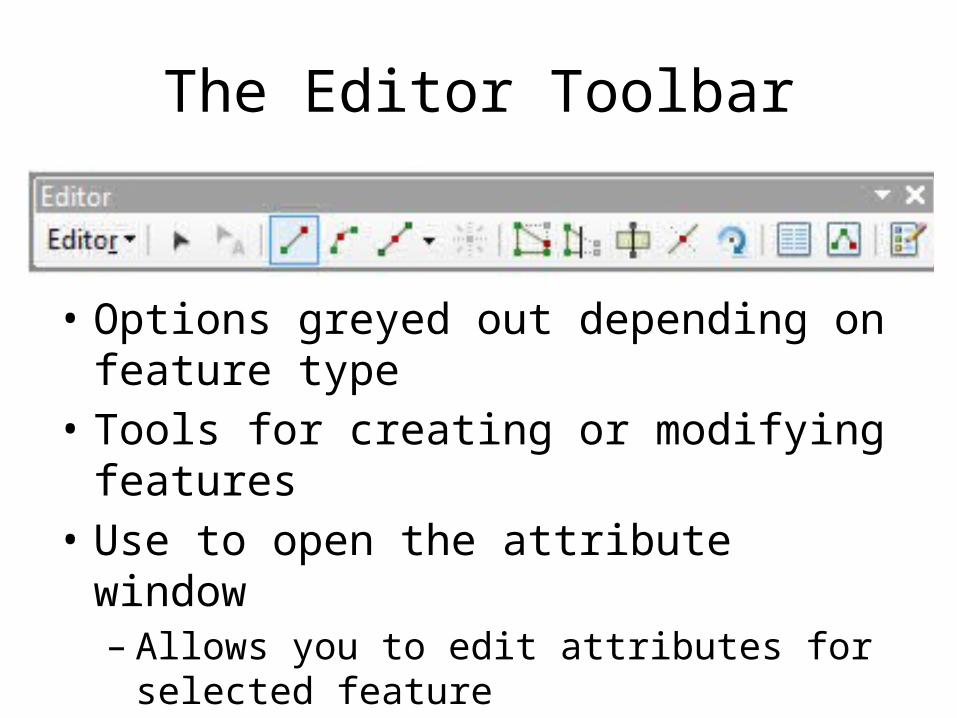
The Editor Toolbar
• Options greyed out depending on feature type• Tools for creating or modifying features• Use to open the attribute window– Allows you to edit attributes for selected feature– Attributes can also be input into table directly

Making and Saving Edits
• Editor toolbar, choose Start Editing from menu• Right-click layer, Edit Features > Start Editing
• Saving your edits:– Choose Save Edits from Editor toolbar dropdown– Save often!! Unsaved edits will be lost forever!!!– Undo/Redo can be used until edits are saved

Drawing vectors
• Points are simple• Lines can be straight, curved– Vertices and nodes, splitting
• Polygons– Drawn using lines– Must be closed to be complete– Cut Polygon Tool (like splitting)

Digitizing
• ArcCatalogue• File > New > Shapefile