history and social science: advanced placement human · pdf filehistory and social science:...
TRANSCRIPT
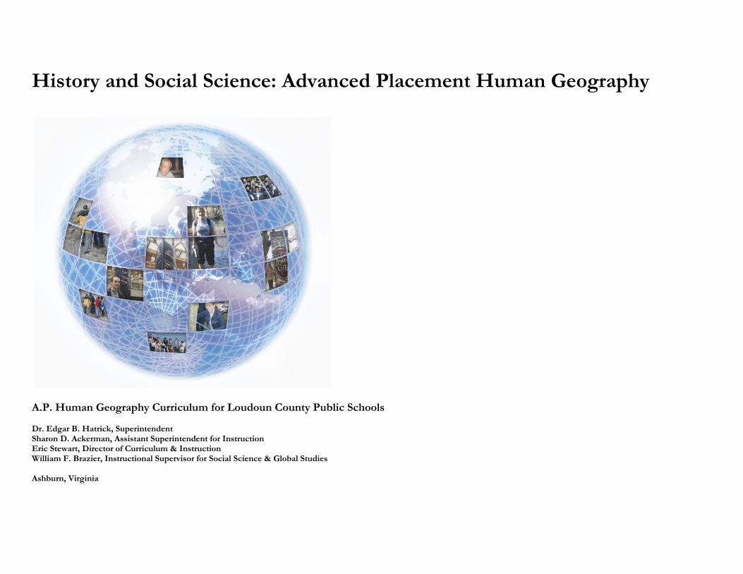
History and Social Science: Advanced Placement Human Geography
A.P. Human Geography Curriculum for Loudoun County Public Schools Dr. Edgar B. Hatrick, Superintendent Sharon D. Ackerman, Assistant Superintendent for Instruction Eric Stewart, Director of Curriculum & Instruction William F. Brazier, Instructional Supervisor for Social Science & Global Studies Ashburn, Virginia
This curriculum document for Advanced Placement Human Geography is organized to help teachers plan and carry out their instruction conceptually, so that students can see patterns and connections among and between ideas and points of information. In this document, each unit’s learning outcomes or objectives are listed first, followed by a summary overview of the unit from the College Board, and then a conceptual mind map connecting the content. Following the mind map in each unit is a more linear and traditional textual outline with references to points of content that students must learn in AP Human Geography. Each section of the unit outline is framed by important conceptual questions that serve as a foundation for the teaching and learning of that section. All conceptual questions appear in italics. There are seven units in this A.P. curriculum. SOL connections are listed in red on the “Objectives” page for all units, but also appear in the branches of the mind maps. For this AP course in Loudoun County, it is recommended that Unit I take 2 weeks, Unit II 4 weeks, Unit III 6 weeks, Unit IV 4 weeks, Unit V 4 weeks, Unit VI 6 weeks, and Unit VII 5 weeks, culminating in the AP Exam during the second week in May. We hope teachers find that the concepts contained and explained in this document serve as a productive mental framework for students and for themselves. This instructional layout and approach offers cognitive structures that are essential to the solid comprehension of our curriculum content. Ashburn, Virginia
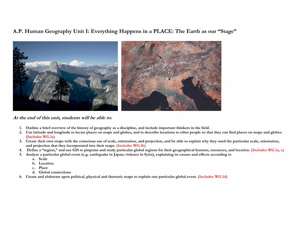
A.P. Human Geography Unit I: Everything Happens in a PLACE: The Earth as our “Stage”
At the end of this unit, students will be able to:
1. Outline a brief overview of the history of geography as a discipline, and include important thinkers in the field. 2. Use latitude and longitude to locate places on maps and globes, and to describe locations to other people so that they can find places on maps and globes.
(Includes WG.1a) 3. Create their own maps with the conscious use of scale, orientation, and projection, and be able to explain why they used the particular scale, orientation,
and projection that they incorporated into their maps. (Includes WG.1b) 4. Define a “region,” and use GIS to pinpoint and study particular global regions for their geographical features, resources, and location. (Includes WG.1a, c) 5. Analyze a particular global event (e.g. earthquake in Japan; violence in Syria), explaining its causes and effects according to
a. Scale b. Location c. Place d. Global connections
6. Create and elaborate upon political, physical and thematic maps to explain one particular global event. (Includes WG.1d)
Summary of this Unit from the A.P. “Acorn” Book---
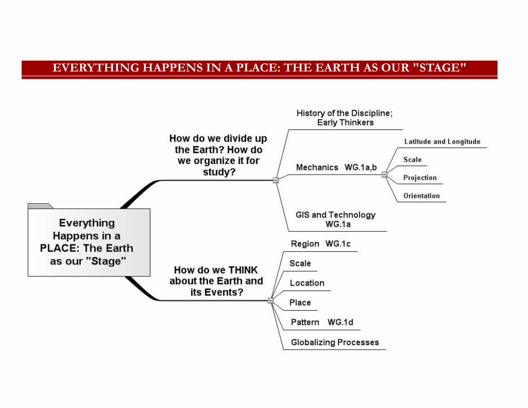
EVERYTHING HAPPENS IN A PLACE: THE EARTH AS OUR "STAGE"
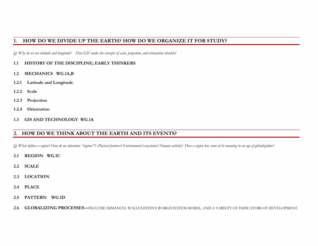
1. HOW DO WE DIVIDE UP THE EARTH? HOW DO WE ORGANIZE IT FOR STUDY?
Q: Why do we use latitude and longitude? Does GIS make the concepts of scale, projection, and orientation obsolete?
1.1 HISTORY OF THE DISCIPLINE; EARLY THINKERS
1.2 MECHANICS WG.1A,B
1.2.1 Latitude and Longitude
1.2.2 Scale
1.2.3 Projection
1.2.4 Orientation
1.3 GIS AND TECHNOLOGY WG.1A
2. HOW DO WE THINK ABOUT THE EARTH AND ITS EVENTS?
Q: What defines a region? How do we determine “regions”?--Physical features? Environment/ecosystems? Human activity? Does a region lose some of its meaning in an age of globalization?
2.1 REGION WG.1C
2.2 SCALE
2.3 LOCATION
2.4 PLACE
2.5 PATTERN WG.1D
2.6 GLOBALIZING PROCESSES—INCLUDE IMMANUEL WALLENSTEIN’S WORLD SYSTEM MODEL, AND A VARIETY OF INDICATORS OF DEVELOPMENT.
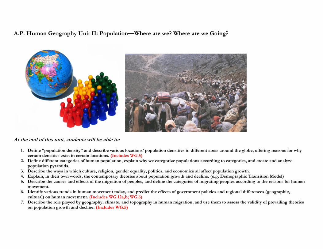
A.P. Human Geography Unit II: Population—Where are we? Where are we Going?
At the end of this unit, students will be able to:
1. Define “population density” and describe various locations’ population densities in different areas around the globe, offering reasons for why certain densities exist in certain locations. (Includes WG.5)
2. Define different categories of human population, explain why we categorize populations according to categories, and create and analyze population pyramids.
3. Describe the ways in which culture, religion, gender equality, politics, and economics all affect population growth. 4. Explain, in their own words, the contemporary theories about population growth and decline. (e.g. Demographic Transition Model) 5. Describe the causes and effects of the migration of peoples, and define the categories of migrating peoples according to the reasons for human
movement. 6. Identify various trends in human movement today, and predict the effects of government policies and regional differences (geographic,
cultural) on human movement. (Includes WG.12a,b; WG.6) 7. Describe the role played by geography, climate, and topography in human migration, and use them to assess the validity of prevailing theories
on population growth and decline. (Includes WG.5)
Summary of this Unit from the A.P. “Acorn” Book---
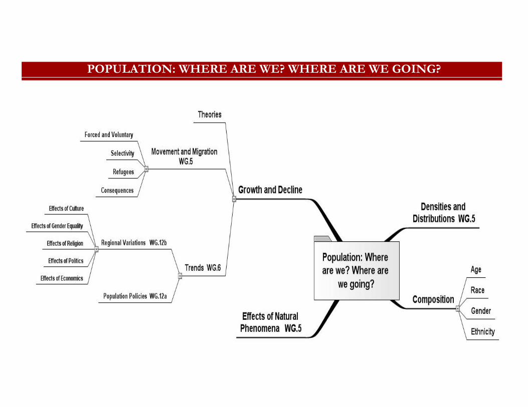
POPULATION: WHERE ARE WE? WHERE ARE WE GOING?
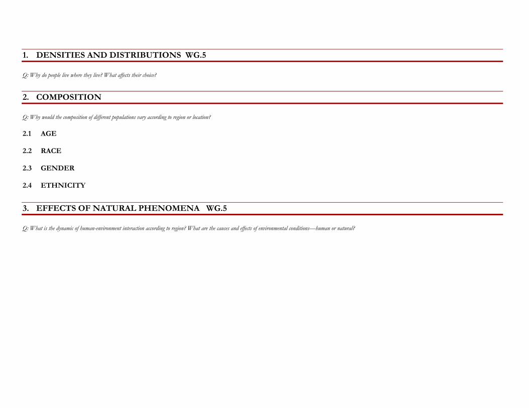
1. DENSITIES AND DISTRIBUTIONS WG.5
Q: Why do people live where they live? What affects their choice?
2. COMPOSITION
Q: Why would the composition of different populations vary according to region or location?
2.1 AGE
2.2 RACE
2.3 GENDER
2.4 ETHNICITY
3. EFFECTS OF NATURAL PHENOMENA WG.5
Q: What is the dynamic of human-environment interaction according to region? What are the causes and effects of environmental conditions—human or natural?
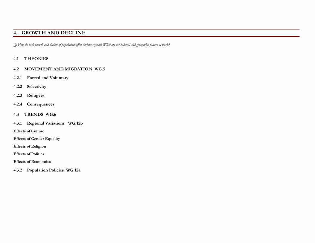
4. GROWTH AND DECLINE
Q: How do both growth and decline of population affect various regions? What are the cultural and geographic factors at work?
4.1 THEORIES
4.2 MOVEMENT AND MIGRATION WG.5
4.2.1 Forced and Voluntary
4.2.2 Selectivity
4.2.3 Refugees
4.2.4 Consequences
4.3 TRENDS WG.6
4.3.1 Regional Variations WG.12b
Effects of Culture
Effects of Gender Equality
Effects of Religion
Effects of Politics
Effects of Economics
4.3.2 Population Policies WG.12a
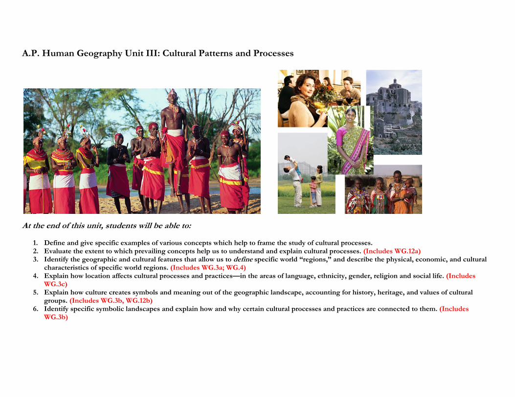
A.P. Human Geography Unit III: Cultural Patterns and Processes
At the end of this unit, students will be able to:
1. Define and give specific examples of various concepts which help to frame the study of cultural processes. 2. Evaluate the extent to which prevailing concepts help us to understand and explain cultural processes. (Includes WG.12a) 3. Identify the geographic and cultural features that allow us to define specific world “regions,” and describe the physical, economic, and cultural
characteristics of specific world regions. (Includes WG.3a; WG.4) 4. Explain how location affects cultural processes and practices—in the areas of language, ethnicity, gender, religion and social life. (Includes
WG.3c) 5. Explain how culture creates symbols and meaning out of the geographic landscape, accounting for history, heritage, and values of cultural
groups. (Includes WG.3b, WG.12b) 6. Identify specific symbolic landscapes and explain how and why certain cultural processes and practices are connected to them. (Includes
WG.3b)
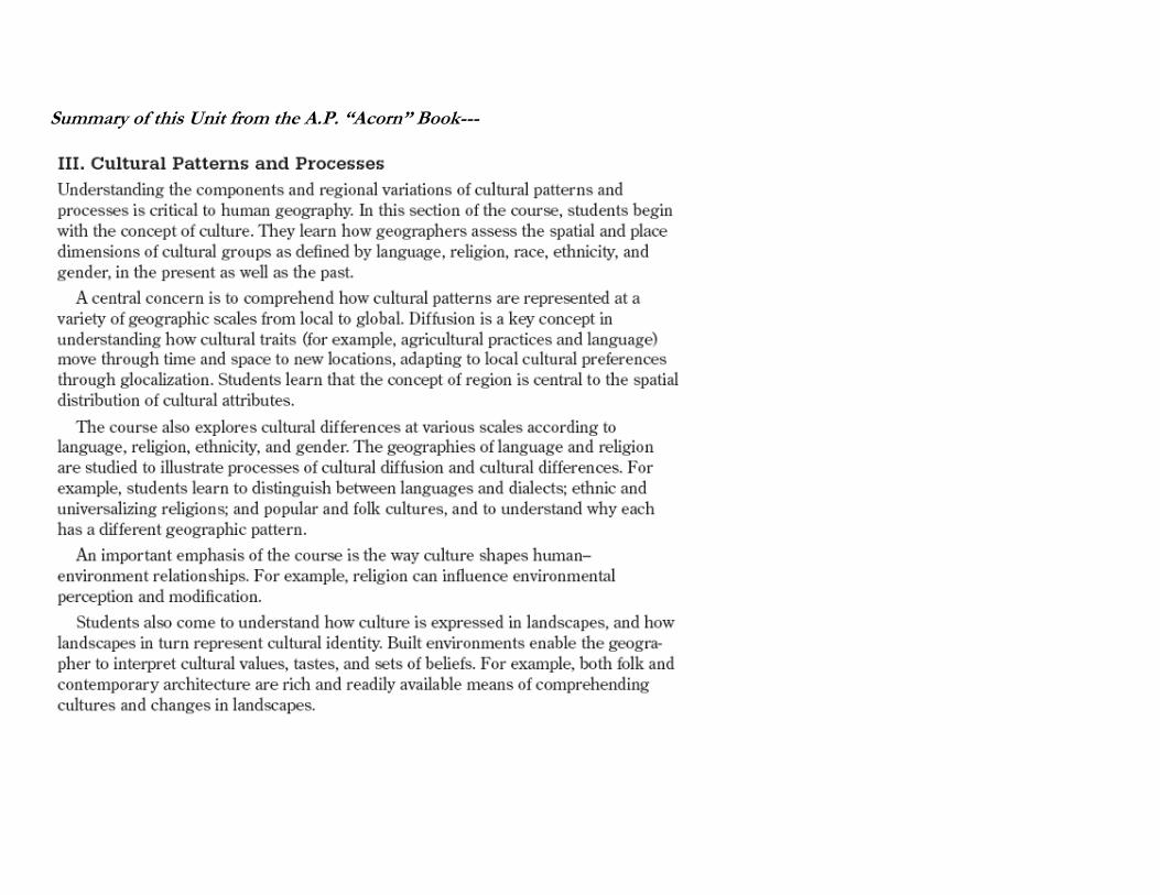
Summary of this Unit from the A.P. “Acorn” Book---
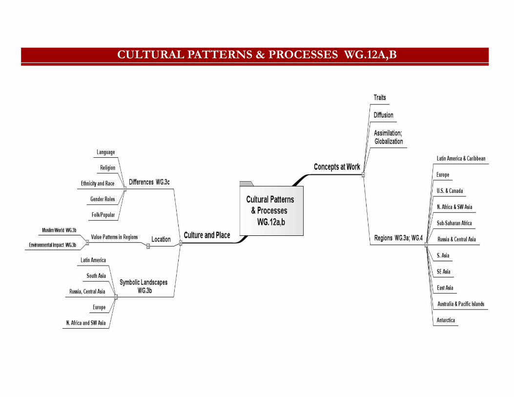
CULTURAL PATTERNS & PROCESSES WG.12A,B
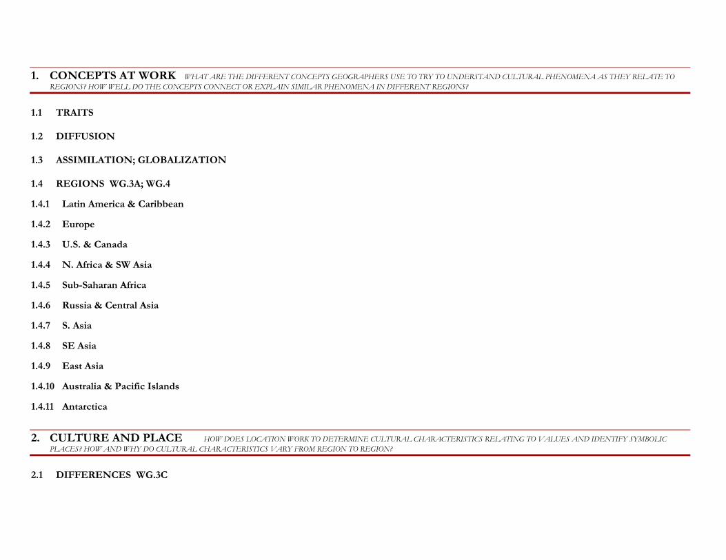
1. CONCEPTS AT WORK WHAT ARE THE DIFFERENT CONCEPTS GEOGRAPHERS USE TO TRY TO UNDERSTAND CULTURAL PHENOMENA AS THEY RELATE TO REGIONS? HOW WELL DO THE CONCEPTS CONNECT OR EXPLAIN SIMILAR PHENOMENA IN DIFFERENT REGIONS?
1.1 TRAITS
1.2 DIFFUSION
1.3 ASSIMILATION; GLOBALIZATION
1.4 REGIONS WG.3A; WG.4
1.4.1 Latin America & Caribbean
1.4.2 Europe
1.4.3 U.S. & Canada
1.4.4 N. Africa & SW Asia
1.4.5 Sub-Saharan Africa
1.4.6 Russia & Central Asia
1.4.7 S. Asia
1.4.8 SE Asia
1.4.9 East Asia
1.4.10 Australia & Pacific Islands
1.4.11 Antarctica
2. CULTURE AND PLACE HOW DOES LOCATION WORK TO DETERMINE CULTURAL CHARACTERISTICS RELATING TO VALUES AND IDENTIFY SYMBOLIC PLACES? HOW AND WHY DO CULTURAL CHARACTERISTICS VARY FROM REGION TO REGION?
2.1 DIFFERENCES WG.3C
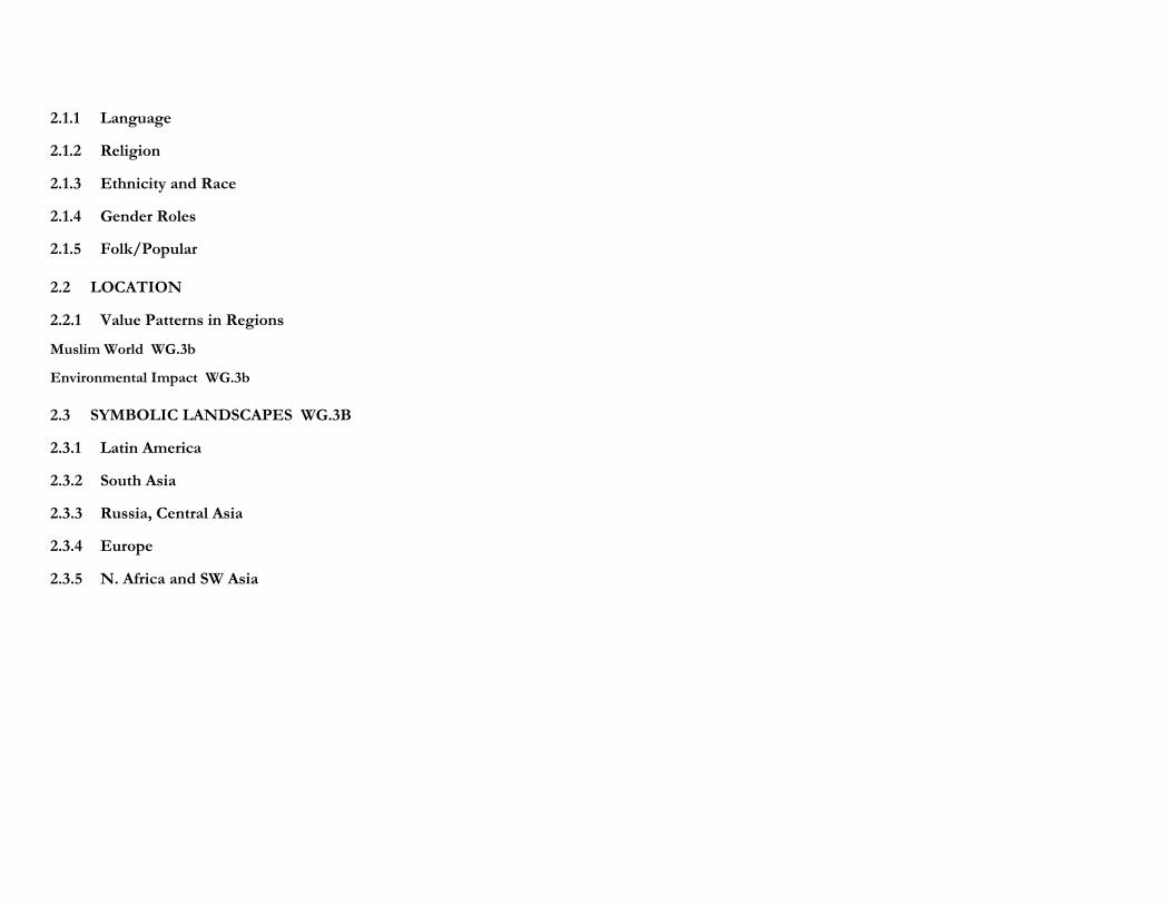
2.1.1 Language
2.1.2 Religion
2.1.3 Ethnicity and Race
2.1.4 Gender Roles
2.1.5 Folk/Popular
2.2 LOCATION
2.2.1 Value Patterns in Regions
Muslim World WG.3b
Environmental Impact WG.3b
2.3 SYMBOLIC LANDSCAPES WG.3B
2.3.1 Latin America
2.3.2 South Asia
2.3.3 Russia, Central Asia
2.3.4 Europe
2.3.5 N. Africa and SW Asia
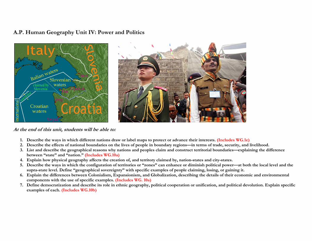
A.P. Human Geography Unit IV: Power and Politics
At the end of this unit, students will be able to:
1. Describe the ways in which different nations draw or label maps to protect or advance their interests. (Includes WG.1e) 2. Describe the effects of national boundaries on the lives of people in boundary regions—in terms of trade, security, and livelihood. 3. List and describe the geographical reasons why nations and peoples claim and construct territorial boundaries—explaining the difference
between “state” and “nation.” (Includes WG.10a) 4. Explain how physical geography affects the creation of, and territory claimed by, nation-states and city-states. 5. Describe the ways in which the configuration of territories or “zones” can enhance or diminish political power—at both the local level and the
supra-state level. Define “geographical sovereignty” with specific examples of people claiming, losing, or gaining it. 6. Explain the differences between Colonialism, Expansionism, and Globalization, describing the details of their economic and environmental
components with the use of specific examples. (Includes WG. 10a) 7. Define democratization and describe its role in ethnic geography, political cooperation or unification, and political devolution. Explain specific
examples of each. (Includes WG.10b)
Summary of this unit from the A.P. “Acorn” Book—
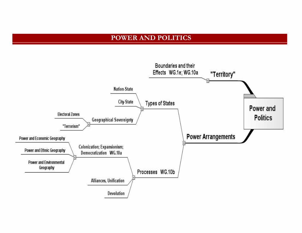
POWER AND POLITICS
1. POWER ARRANGEMENTS
Q: What do institutions of power usually seek in the realm of physical geography? Why?
1.1 TYPES OF STATES
1.1.1 Nation-State
1.1.2 City-State
1.1.3 Geographical Sovereignty
Electoral Zones
"Terrorism"
1.2 PROCESSES WG.10B
1.2.1 Colonization; Expansionism; Democratization WG.10a
Power and Economic Geography
Power and Ethnic Geography
Power and Environmental Geography
1.2.2 Alliances, Unification
1.2.3 Devolution
2. "TERRITORY"
Q: How does physical geography interact with political geography to make the current boundaries and boundary disputes in the world? How are people and communities affected by boundaries?
2.1 BOUNDARIES AND THEIR EFFECTS WG.1E; WG.10A
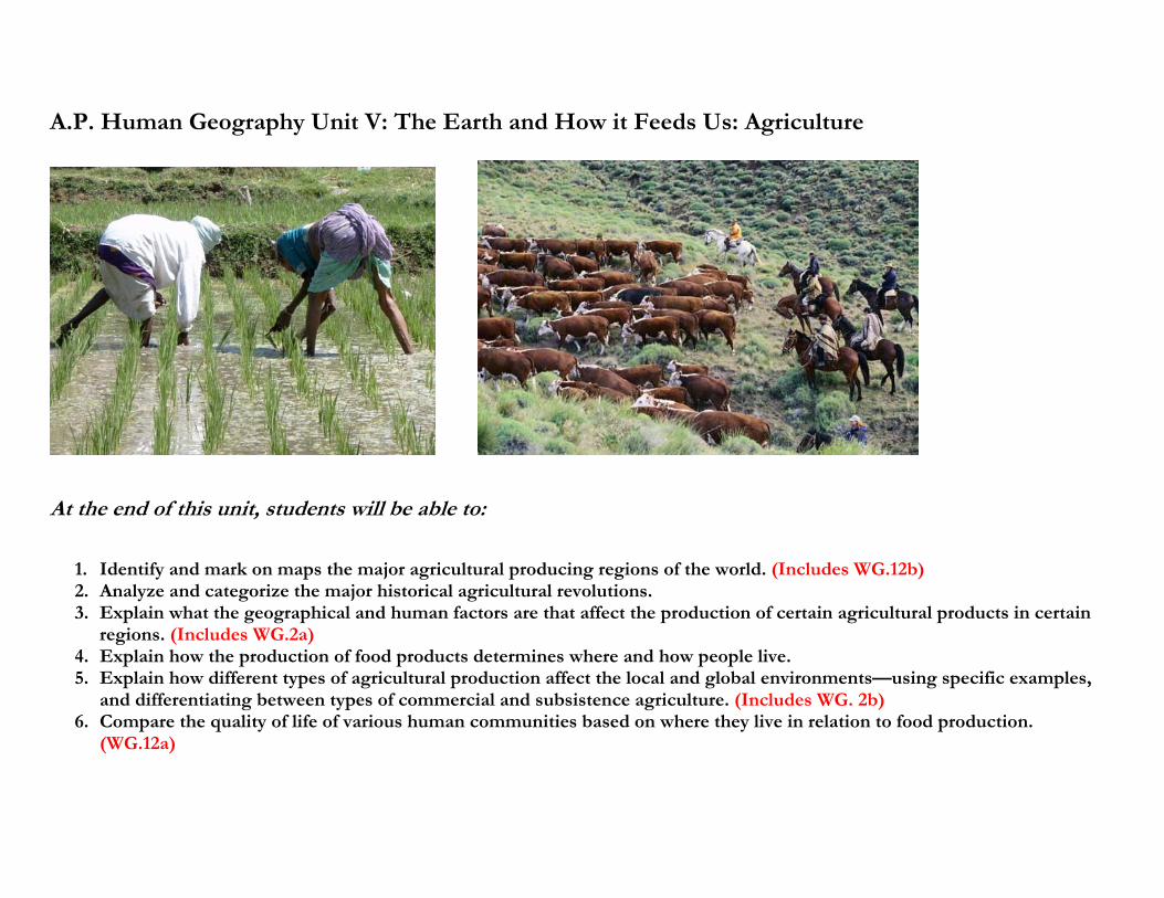
A.P. Human Geography Unit V: The Earth and How it Feeds Us: Agriculture
At the end of this unit, students will be able to:
1. Identify and mark on maps the major agricultural producing regions of the world. (Includes WG.12b) 2. Analyze and categorize the major historical agricultural revolutions. 3. Explain what the geographical and human factors are that affect the production of certain agricultural products in certain
regions. (Includes WG.2a) 4. Explain how the production of food products determines where and how people live. 5. Explain how different types of agricultural production affect the local and global environments—using specific examples,
and differentiating between types of commercial and subsistence agriculture. (Includes WG. 2b) 6. Compare the quality of life of various human communities based on where they live in relation to food production.
(WG.12a)
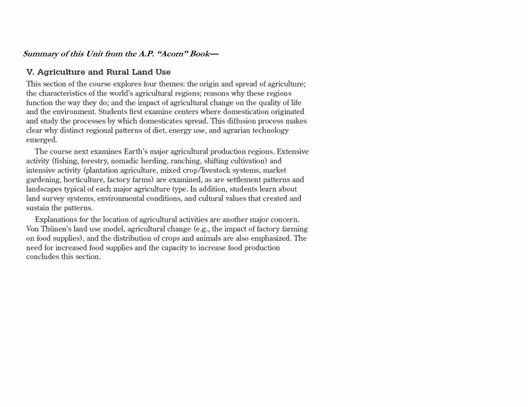
Summary of this Unit from the A.P. “Acorn” Book—
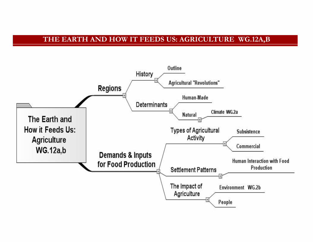
THE EARTH AND HOW IT FEEDS US: AGRICULTURE WG.12A,B
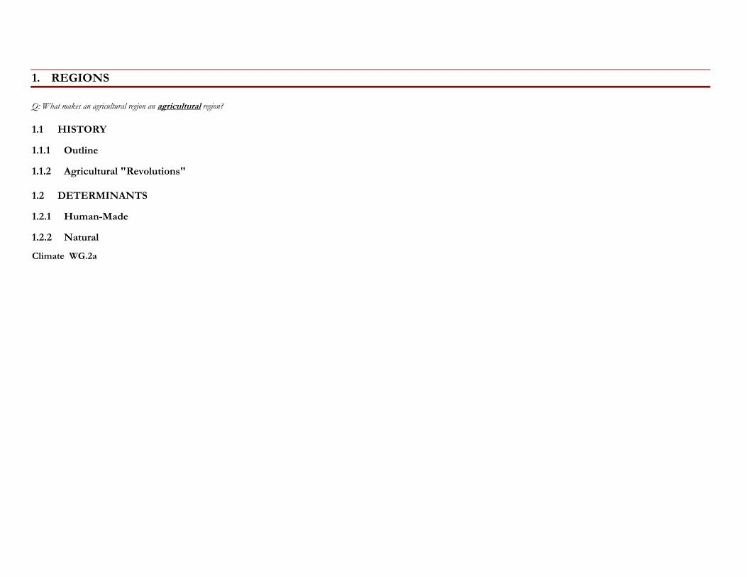
1. REGIONS
Q: What makes an agricultural region an agricultural region?
1.1 HISTORY
1.1.1 Outline
1.1.2 Agricultural "Revolutions"
1.2 DETERMINANTS
1.2.1 Human-Made
1.2.2 Natural
Climate WG.2a
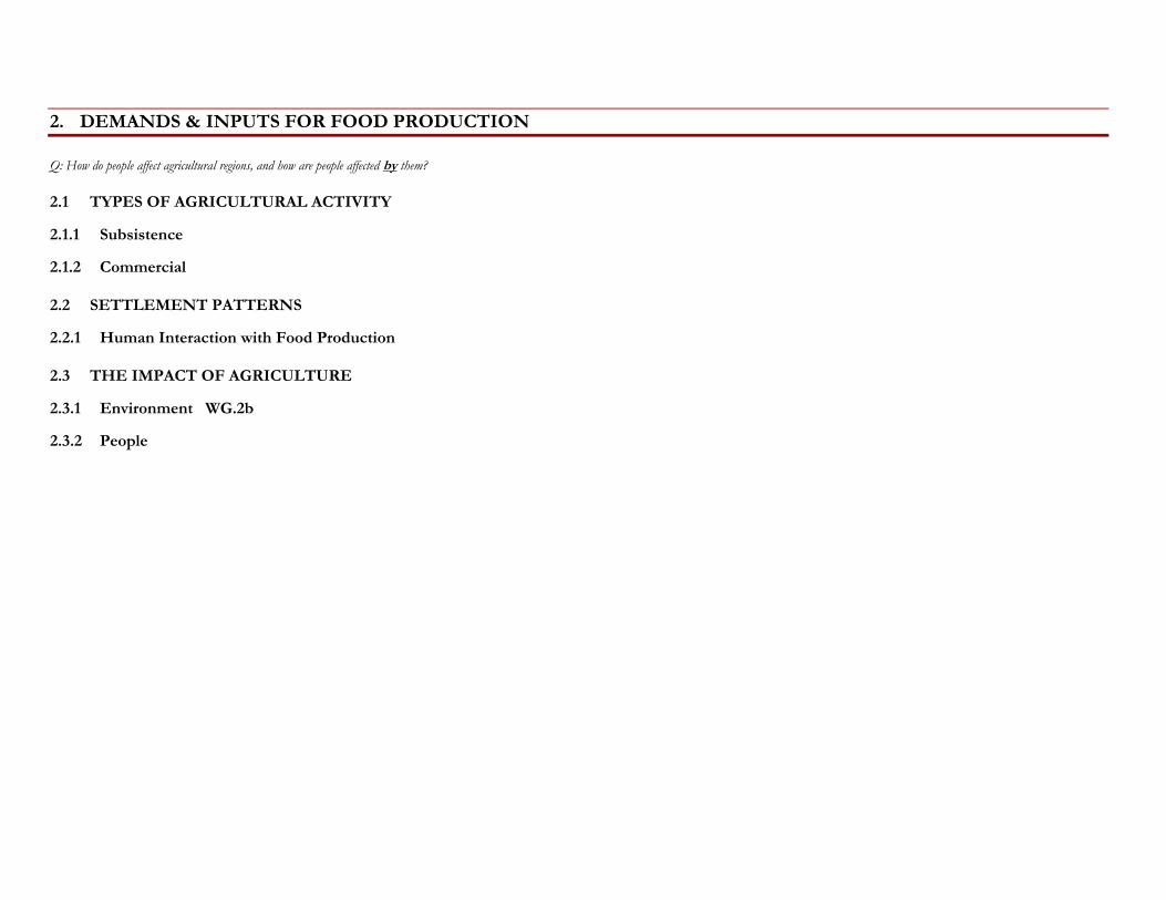
2. DEMANDS & INPUTS FOR FOOD PRODUCTION
Q: How do people affect agricultural regions, and how are people affected by them?
2.1 TYPES OF AGRICULTURAL ACTIVITY
2.1.1 Subsistence
2.1.2 Commercial
2.2 SETTLEMENT PATTERNS
2.2.1 Human Interaction with Food Production
2.3 THE IMPACT OF AGRICULTURE
2.3.1 Environment WG.2b
2.3.2 People
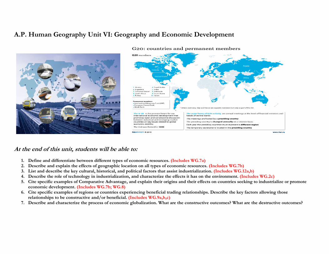
A.P. Human Geography Unit VI: Geography and Economic Development
At the end of this unit, students will be able to:
1. Define and differentiate between different types of economic resources. (Includes WG.7a) 2. Describe and explain the effects of geographic location on all types of economic resources. (Includes WG.7b) 3. List and describe the key cultural, historical, and political factors that assist industrialization. (Includes WG.12a,b) 4. Describe the role of technology in industrialization, and characterize the effects it has on the environment. (Includes WG.2c) 5. Cite specific examples of Comparative Advantage, and explain their origins and their effects on countries seeking to industrialize or promote
economic development. (Includes WG.7b; WG.8) 6. Cite specific examples of regions or countries experiencing beneficial trading relationships. Describe the key factors allowing those
relationships to be constructive and/or beneficial. (Includes WG.9a,b,c) 7. Describe and characterize the process of economic globalization. What are the constructive outcomes? What are the destructive outcomes?
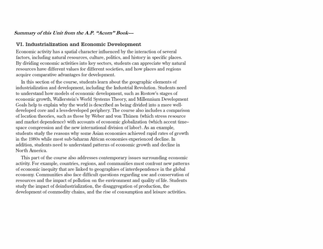
Summary of this Unit from the A.P. “Acorn” Book---
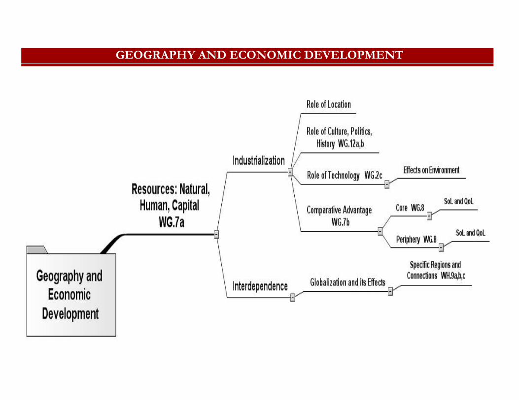
GEOGRAPHY AND ECONOMIC DEVELOPMENT
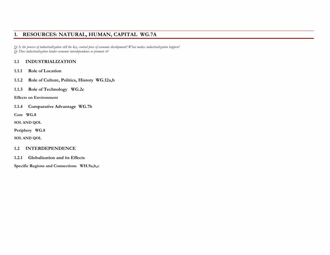
1. RESOURCES: NATURAL, HUMAN, CAPITAL WG.7A
Q: Is the process of industrialization still the key, central piece of economic development? What makes industrialization happen? Q: Does industrialization hinder economic interdependence or promote it?
1.1 INDUSTRIALIZATION
1.1.1 Role of Location
1.1.2 Role of Culture, Politics, History WG.12a,b
1.1.3 Role of Technology WG.2c
Effects on Environment
1.1.4 Comparative Advantage WG.7b
Core WG.8
SOL AND QOL
Periphery WG.8
SOL AND QOL
1.2 INTERDEPENDENCE
1.2.1 Globalization and its Effects
Specific Regions and Connections WH.9a,b,c
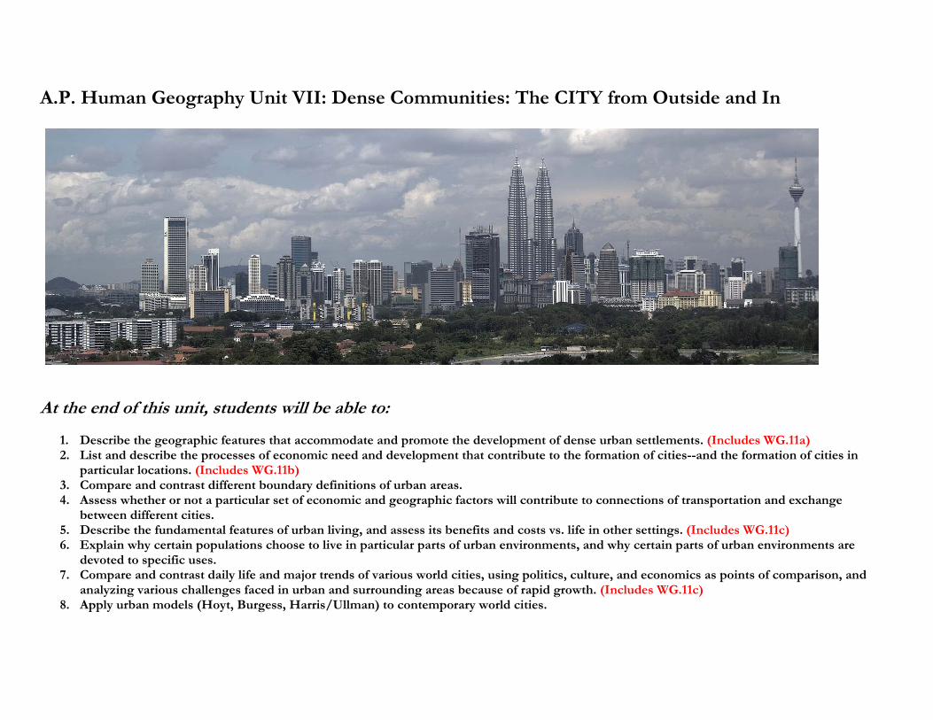
A.P. Human Geography Unit VII: Dense Communities: The CITY from Outside and In
At the end of this unit, students will be able to:
1. Describe the geographic features that accommodate and promote the development of dense urban settlements. (Includes WG.11a) 2. List and describe the processes of economic need and development that contribute to the formation of cities--and the formation of cities in
particular locations. (Includes WG.11b) 3. Compare and contrast different boundary definitions of urban areas. 4. Assess whether or not a particular set of economic and geographic factors will contribute to connections of transportation and exchange
between different cities. 5. Describe the fundamental features of urban living, and assess its benefits and costs vs. life in other settings. (Includes WG.11c) 6. Explain why certain populations choose to live in particular parts of urban environments, and why certain parts of urban environments are
devoted to specific uses. 7. Compare and contrast daily life and major trends of various world cities, using politics, culture, and economics as points of comparison, and
analyzing various challenges faced in urban and surrounding areas because of rapid growth. (Includes WG.11c) 8. Apply urban models (Hoyt, Burgess, Harris/Ullman) to contemporary world cities.
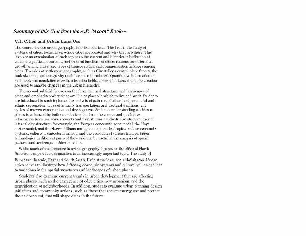
Summary of this Unit from the A.P. “Acorn” Book---
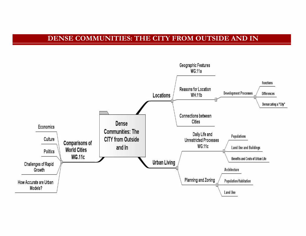
DENSE COMMUNITIES: THE CITY FROM OUTSIDE AND IN
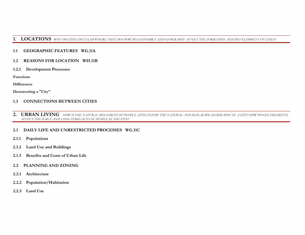
1. LOCATIONS WHY DO CITIES DEVELOP WHERE THEY DO? HOW DO ECONOMICS AND GEOGRAPHY AFFECT THE FORMATION AND DEVELOPMENT OF CITIES?
1.1 GEOGRAPHIC FEATURES WG.11A
1.2 REASONS FOR LOCATION WH.11B
1.2.1 Development Processes
Functions
Differences
Demarcating a "City"
1.3 CONNECTIONS BETWEEN CITIES
2. URBAN LIVING HOW IS THE NATURAL MOVEMENT OF PEOPLE AFFECTED BY THE NATURAL AND MAN-MADE GEOGRAPHY OF A CITY? HOW DO GOVERNMENTS AFFECT THE DAILY AND LONG-TERM LIVES OF PEOPLE IN THE CITY?
2.1 DAILY LIFE AND UNRESTRICTED PROCESSES WG.11C
2.1.1 Populations
2.1.2 Land Use and Buildings
2.1.3 Benefits and Costs of Urban Life
2.2 PLANNING AND ZONING
2.2.1 Architecture
2.2.2 Population/Habitation
2.2.3 Land Use
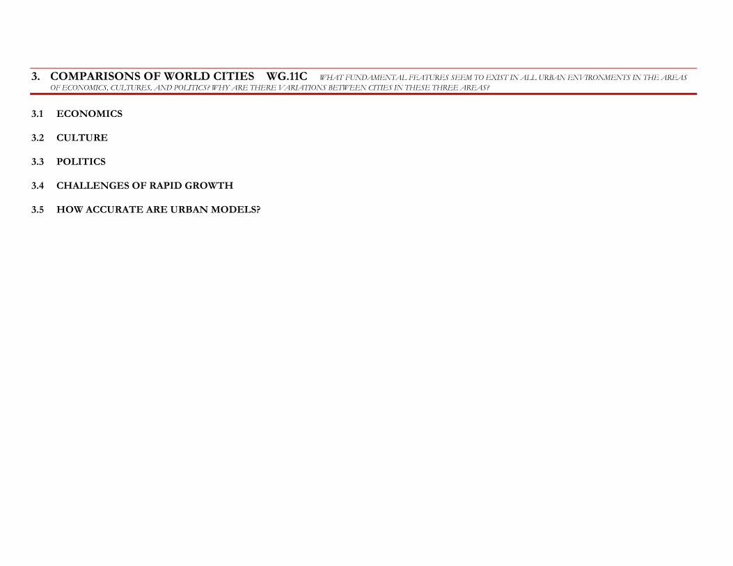
3. COMPARISONS OF WORLD CITIES WG.11C WHAT FUNDAMENTAL FEATURES SEEM TO EXIST IN ALL URBAN ENVIRONMENTS IN THE AREAS OF ECONOMICS, CULTURES, AND POLITICS? WHY ARE THERE VARIATIONS BETWEEN CITIES IN THESE THREE AREAS?
3.1 ECONOMICS
3.2 CULTURE
3.3 POLITICS
3.4 CHALLENGES OF RAPID GROWTH
3.5 HOW ACCURATE ARE URBAN MODELS?
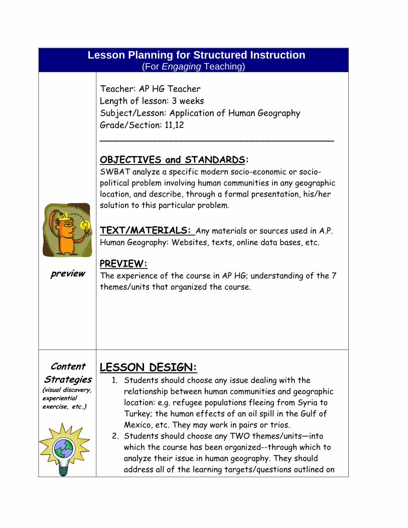
Lesson Planning for Structured Instruction (For Engaging Teaching)
preview
Teacher: AP HG Teacher Length of lesson: 3 weeks Subject/Lesson: Application of Human Geography Grade/Section: 11,12 ___________________________________________ OBJECTIVES and STANDARDS: SWBAT analyze a specific modern socio-economic or socio-political problem involving human communities in any geographic location, and describe, through a formal presentation, his/her solution to this particular problem. TEXT/MATERIALS: Any materials or sources used in A.P. Human Geography: Websites, texts, online data bases, etc. PREVIEW: The experience of the course in AP HG; understanding of the 7 themes/units that organized the course.
Content
Strategies (visual discovery, experiential exercise, etc.)
LESSON DESIGN: 1. Students should choose any issue dealing with the
relationship between human communities and geographic location: e.g. refugee populations fleeing from Syria to Turkey; the human effects of an oil spill in the Gulf of Mexico, etc. They may work in pairs or trios.
2. Students should choose any TWO themes/units—into which the course has been organized--through which to analyze their issue in human geography. They should address all of the learning targets/questions outlined on
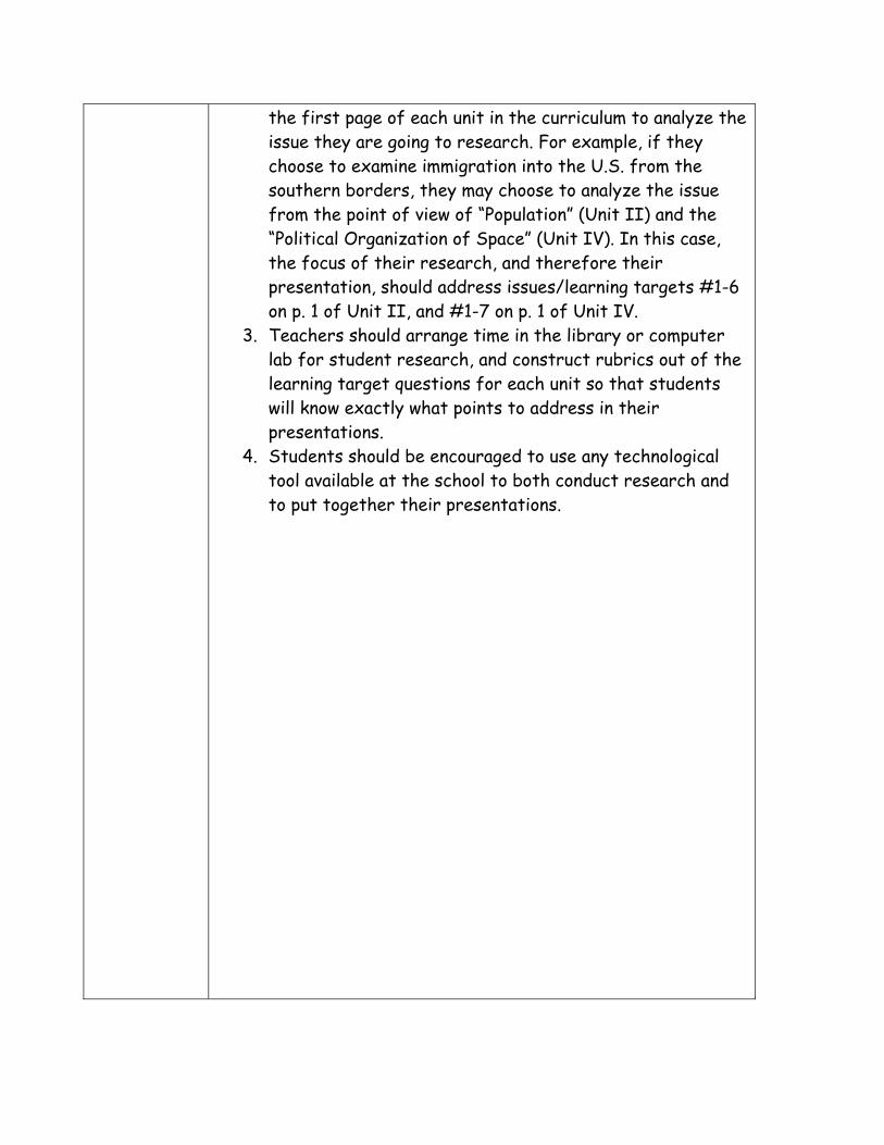
the first page of each unit in the curriculum to analyze the issue they are going to research. For example, if they choose to examine immigration into the U.S. from the southern borders, they may choose to analyze the issue from the point of view of “Population” (Unit II) and the “Political Organization of Space” (Unit IV). In this case, the focus of their research, and therefore their presentation, should address issues/learning targets #1-6 on p. 1 of Unit II, and #1-7 on p. 1 of Unit IV.
3. Teachers should arrange time in the library or computer lab for student research, and construct rubrics out of the learning target questions for each unit so that students will know exactly what points to address in their presentations.
4. Students should be encouraged to use any technological tool available at the school to both conduct research and to put together their presentations.
PROCESSING Assignment
(flow charts, political cartoon,
poems, etc.)
PROCESSING ASSIGNMENT: Check in periodically with students to see where they are on their rubrics that you have provided. Are they having trouble addressing any of the points on the rubric? Which issues or targets have they addressed, and what evidence did they provide that shows you they addressed them?
Assessments
Summary/ Evaluation
ASSESSMENT(S): The presentation itself. Did students address the learning targets on the rubric? Did they choose an appropriate technology to present their findings and solutions to problems of human geography?
_________________________________________________ SUMMARY/EVALUATION: Teachers should evaluate the questions and comments that classmates had about the student presentations. Were they relevant to the topic? Did they relate to other important issues in human geography? Did they challenge assumptions--or even the conclusions that the presenting students reached about potential solutions to problems of human geography?