gpm from noaa’s satellite and information services perspective · gpm from noaa’s satellite and...
TRANSCRIPT

N A T I O N A L O C E A N I C A N D A T M O S P H E R I C A D M I N I S T R A T I O N
GPM from NOAA’s Satellite and Information Services Perspective
3rd NOAA User Workshop on theGlobal Precipitation Measurement (GPM) Mission: Proving Ground
Mike HaasNOAA Satellite and Information Services
April 2, 2013
1

N A T I O N A L O C E A N I C A N D A T M O S P H E R I C A D M I N I S T R A T I O N
Global Precipitation Mission(GPM)
2
Objectives:• Understand horizontal and vertical structure of rainfall, its macro- & micro-physical nature, & its associated latent
heating• Train & calibrate retrieval algorithms for constellation radiometers• Provide sufficient global sampling to significantly reduce uncertainties in short-term rainfall accumulations• Extend scientific and societal applications
Core Satellite• TRMM-like spacecraft (NASA)• H2-A rocket launch (NASDA)• Non-sun-synchronous orbit
~ 650 inclination~ 400km altitude
• Dual Frequency radar (NASDA)Ku-Ka Bands (13.6-35GHz)~4km horizontal resolution~250m vertical resolution
• Multifrequency radiometer (NASA)10.7, 19, 22, 37, 85, 150, 183 GHz, V & H
Constellation Satellites• Pre-existing
operational/experimental &dedicated satellites with PMW radiometers
• Revisit time3-hour global at ~90% of time
• Sun-synch & non-sun-synch orbits600-900 km altitudes
Precipitation Processing System• Produces global precipitation products• Products defined by GPM partners
Precipitation Validation Sites for Error Characterization• Select/globally distributed ground validation “Supersites” (research
quality radar, up looking radiometers-radar-profile system, rain gauge-disdrometer network, & T-q soundings)
• Dense & frequently reporting regional rain gauge networks

N A T I O N A L O C E A N I C A N D A T M O S P H E R I C A D M I N I S T R A T I O N
The GPM Innovation
• The NASA Global Precipitation Mission dramatically extends the precipitation monitoring techniques developed for the Tropical Rainfall TRMM.
• The innovation of TRMM was the nadir‐looking precipitation radar‐in‐space, coupled with a broad swath microwave imager on the same platform.
• The innovation of GPM is the coupling of dual‐frequency nadir‐looking precipitation radars to a constellation of broad‐swath microwave imagers on polar‐orbiting satellites operated by both US and international partners.
• The GPM “core” satellite enables the common calibration for precipitation estimates from the entire constellation of microwave imagers aboard all satellites.
• The Goal: A multi‐satellite constellation, operating as a coordinated whole, would provide precipitation rates and related products with near‐global coverage every 3 hours or less, and a spatial resolution of 5 ‐ 25 km!
3

N A T I O N A L O C E A N I C A N D A T M O S P H E R I C A D M I N I S T R A T I O N
NOAA satellite data products and services underpin and support the priorities and goals of the Administration, Department of Commerce, and NOAA.
4
Weather Ready Nation• Continuous surveillance for severe
weather• Primary input for numerical prediction
models• Real-time images/products
Resilient Coastal Communities and Economies
• Oil spill monitoring and analysis• Hydrologic monitoring• Arctic sea ice analysis
• Coral reef bleaching alerts• Harmful algal bloom detection• Migratory tracking
Healthy Oceans
Climate Adaptation and Mitigation• Long-term climate record• Sea-level rise• Sea surface temperature
NOAA’s satellite mission aligns with NOAA and DOC strategic plans
Note: Red highlighted text depicts priorities addressed by GPM

N A T I O N A L O C E A N I C A N D A T M O S P H E R I C A D M I N I S T R A T I O N
Continuity of Polar Satellite Microwave Precipitation Missions
Era Mission Sensor Country Timeframe
HeritageMissions
TRMM TMI, PR USA / Japan 1997‐2014
POES AMSU‐A, ‐B, MHS USA (NOAA) 1999‐2013
EOS Aqua AMSR‐E, HSB USA / Japan / Brazil 2002‐2011, 2002‐2003
DMSP‐16, ‐17, ‐18 SSMIS USA 2003‐2014
MetOp‐A AMSU‐A, MHS EUMETSAT 2006‐2013
MetOp‐B AMSU‐A, MHS EUMETSAT 2012‐2017
Megha‐Tropiques MADRAS/SAPHIR India / France (CNES) 2011‐2016
ContinuityMissions
S‐NPP ATMS USA (NOAA) 2011‐2016
MetOp‐C AMSU‐A, MHS EUMETSAT 2017‐2022
GCOM‐W1 AMSR2 Japan (JAXA) 2012‐2017
JPSS‐1, ‐2 ATMS USA (NOAA) 2017‐2027
GPM Core GMI, DFPR USA / Japan (JAXA) 2014‐2019
DMSP‐19, ‐20 SSMIS USA 2014‐20122
FutureMissions
GCOM‐W2, ‐W3 AMSR2 Japan 2016‐2024
JPSS‐3, ‐4 ATMS USA (NOAA) 2024‐2034
WFS (was DWSS) MIS USA 2018‐2026
EPS SG MI EUMETSAT 2021‐2031
FY‐3 C MWIS / MWTH / MWRI China (CMA) 2015‐2020
N A T I O N A L O C E A N I C A N D A T M O S P H E R I C A D M I N I S T R A T I O N
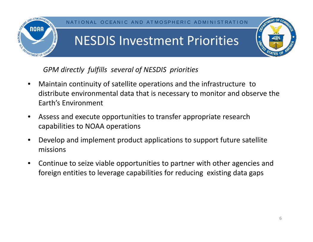
NESDIS Investment Priorities
• Maintain continuity of satellite operations and the infrastructure to distribute environmental data that is necessary to monitor and observe the Earth’s Environment
• Assess and execute opportunities to transfer appropriate research capabilities to NOAA operations
• Develop and implement product applications to support future satellite missions
• Continue to seize viable opportunities to partner with other agencies and foreign entities to leverage capabilities for reducing existing data gaps
6
GPM directly fulfills several of NESDIS priorities

N A T I O N A L O C E A N I C A N D A T M O S P H E R I C A D M I N I S T R A T I O N
NOAA Perspective and Opportunity
• Precipitation Constellation– GPM is more than just the core satellite (Feb 2014– GMI+DPR)– DMSP, POES/JPSS, MetOp, NPP, … and international missions, are all part of GPM
• Research to Operations and Continuity– Supports 2007 NRC recommendation for NOAA to “operationalize” GPM Precipitation
Processing System– Supports 2010 National Space Policy to “Transition mature research and development
Earth observation satellites to long‐term operations”• MOU between NASA and NOAA going through legal review• L1RD and Concept of Operations documents being coordinated by NESDIS Offices
with NOAA user community• Leveraging
– Builds on immensely successful demonstration and proven value of TRMM– Leverages huge joint NASA and JAXA investment ( > $1B) in GPM Mission– Leverages multi‐billion dollar satellite investments by U.S. and international partners
• GEOSS– Strong documented international interest and support for GPM and operational follow‐on
is a key piece of the space‐based Global Observing System and Global Climate Observing System
– GPM and follow‐on mission recommended in WMO GOS 2025 Vision and CGMS baseline7

N A T I O N A L O C E A N I C A N D A T M O S P H E R I C A D M I N I S T R A T I O N
NOAA Benefits, Applications, Advances
8
GPM will help to improve NOAA’s ability to monitor & predict severe hydrological events (i.e., hurricanes, flash floods, drought, coastal evacuations, etc.)
•GPM Constellation could achieve 10‐25 km resolution precipitation related observations globally, every 3hours
•GPM provides critical information for data assimilation and NWP
GPM will significantly advance regional & global climate monitoring assessments
• Precision radiometer will anchor calibration among satellites for climate‐quality data records (CDR’s)
GPM operational ground system will consolidate precipitation processing in NOAA there by achieving operational efficiency. This perfectly aligns with NOAA level enterprise consolidation of ground system operations.
GPM(DPR&GMI)
NOAA-POES(AMSU&MHS)
Suomi NPP/JPSS(ATMS)
GCOM-W(AMSR-2)
MetOP(AMSU&MHS)MEGHA TR.(MADRAS)
DMSP(SSMIS)
GOES-R(ABI & GLM)
NOAA GPM PPS(OSPO/NESDIS)
GAUGE WSR-88D
Multi-sensor PrecipitationAlgorithms
MPE, CMORPH & MRMS(GAUGE+WSR-88D
+ GOES)
Rai
nR
ate
NWS/RFC/WFONWS/Centers
DoDNESDIS/STAR/
SAB/CLASSJCSDA
OAR/Testbeds
NOAA Enterprise Precipitation Processing System : Phase III
Legend
Sensor or satellite
Processor
End User
L1b
L1b
L1b
L1b
L1b
L1b
L1b
PPS Products (L1-c & Rain Rate)
L1bNUP Gen. & SCaMPR NUPsLE
O M
ICR
OW
AVE
LEO
MIC
RO
WAV
EG
EO
IR &
Lig
ht. R
ainR
ate

N A T I O N A L O C E A N I C A N D A T M O S P H E R I C A D M I N I S T R A T I O N
GPM Use at NOAA ‐ eTRaP• Ensemble Tropical Rainfall Potential [eTRaP]uses all available passive MW rain
estimates to generate rainfall potential and probabilities of exceeding thresholds.• The more members used in ensemble, the more accurate the predictions
– Presently, the number of available ensemble members is decreasing due to aging constellation. However, new recently launched sensors (i.e, ATMS, MADRAS, AMSR‐2) will help to mitigate this concern.
9
Hurricane Sandy – Oct 29, 2012Probability of Rain >4” Total 24-hour Rainfall

N A T I O N A L O C E A N I C A N D A T M O S P H E R I C A D M I N I S T R A T I O N
Pole‐to‐Pole CMORPH and Integrated Regional Precipitation Analyses
P.Xie and R.Joyce Pole‐to‐pole CMORPH
0.05olat/lon over the globe in 30‐min interval
Integration of PMW, GEO/LEO IR, and model info through Kalmanfilter
Framework designed, prototype under development
Regional CMORPH With R. Kuligowski 2km grid 15‐min analysis over North
America and nearby ocean Including GOES‐R hi‐res IR Products comprised of different
latencies (15‐min to 18 hours)
Gauge‐Radar‐Satellite‐Model merged analyses With Y.Zhang and OHD Hourly analysis over CONUS OI technique Prototype being tested
Sample Pole-to-pole CMORPHFor 10:00GMT, July 1, 2009

N A T I O N A L O C E A N I C A N D A T M O S P H E R I C A D M I N I S T R A T I O N
GPM Use at NOAA ‐ TPW• GPM Constellation will be key contributors to this blended product• Intercalibrated radiances should help minimize the discontinuities currently seen
by merging in multiple data sources
11

N A T I O N A L O C E A N I C A N D A T M O S P H E R I C A D M I N I S T R A T I O N
GPM ‐ Critical for Climate Data Records
• NOAA’s Climate Data Record (CDR) program– 25 year intercalibrated MW imager time series from SSM/I
• TRMM helped serve as a calibration standard
– 12 year AMSU time series nearing completion
• GPM’s Microwave Imager (GMI) critical calibration anchor to extend the MW CDR’s– Close collaboration with NASA’s MW calibration team and NOAA’s GSICS group
From Yang et al.,JAMC, 2011
N A T I O N A L O C E A N I C A N D A T M O S P H E R I C A D M I N I S T R A T I O N
Summary
13
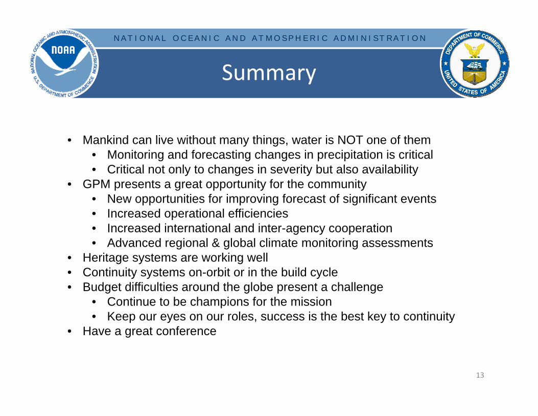
• Mankind can live without many things, water is NOT one of them• Monitoring and forecasting changes in precipitation is critical• Critical not only to changes in severity but also availability
• GPM presents a great opportunity for the community• New opportunities for improving forecast of significant events• Increased operational efficiencies• Increased international and inter-agency cooperation• Advanced regional & global climate monitoring assessments
• Heritage systems are working well• Continuity systems on-orbit or in the build cycle• Budget difficulties around the globe present a challenge
• Continue to be champions for the mission• Keep our eyes on our roles, success is the best key to continuity
• Have a great conference