fema region iii coastal hazard study - asfpm · david bollinger, fema region iii jeff gangai, rampp...
TRANSCRIPT
1 US Army Engineer Research and Development Center
FEMA REGION III COASTAL HAZARD STUDY
June 11, 2013 Impacts and Rollout
Robin Danforth, FEMA Region III David Bollinger, FEMA Region III
Jeff Gangai, RAMPP Christine Worley, RAMPP
2 US Army Engineer Research and Development Center US Army Engineer Research and Development Center
Today’s Discussion Overview and Status of Region III Coastal Study
• Why a new coastal study is needed • Storm Surge Analysis • Wave Height Analysis • Coastal Study Timeline
Outreach Efforts • Outreach Strategy • Coastal Outreach Advisory Team (COAT) • Community Meetings • Outreach Materials and Websites
Coastal Study Results and Impacts
Questions/Discussion
3 US Army Engineer Research and Development Center US Army Engineer Research and Development Center
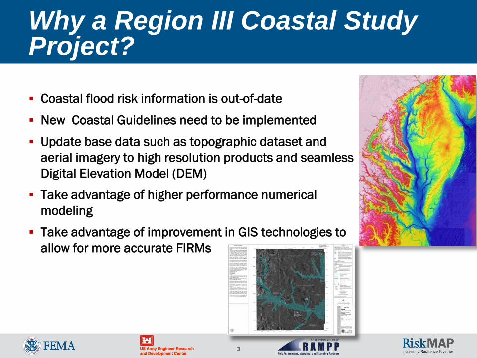
Why a Region III Coastal Study Project?
Coastal flood risk information is out-of-date
New Coastal Guidelines need to be implemented
Update base data such as topographic dataset and aerial imagery to high resolution products and seamless Digital Elevation Model (DEM)
Take advantage of higher performance numerical modeling
Take advantage of improvement in GIS technologies to allow for more accurate FIRMs
4 US Army Engineer Research and Development Center US Army Engineer Research and Development Center
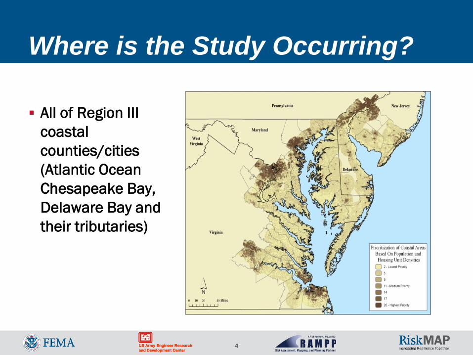
Where is the Study Occurring?
All of Region III coastal counties/cities (Atlantic Ocean Chesapeake Bay, Delaware Bay and their tributaries)
5 US Army Engineer Research and Development Center
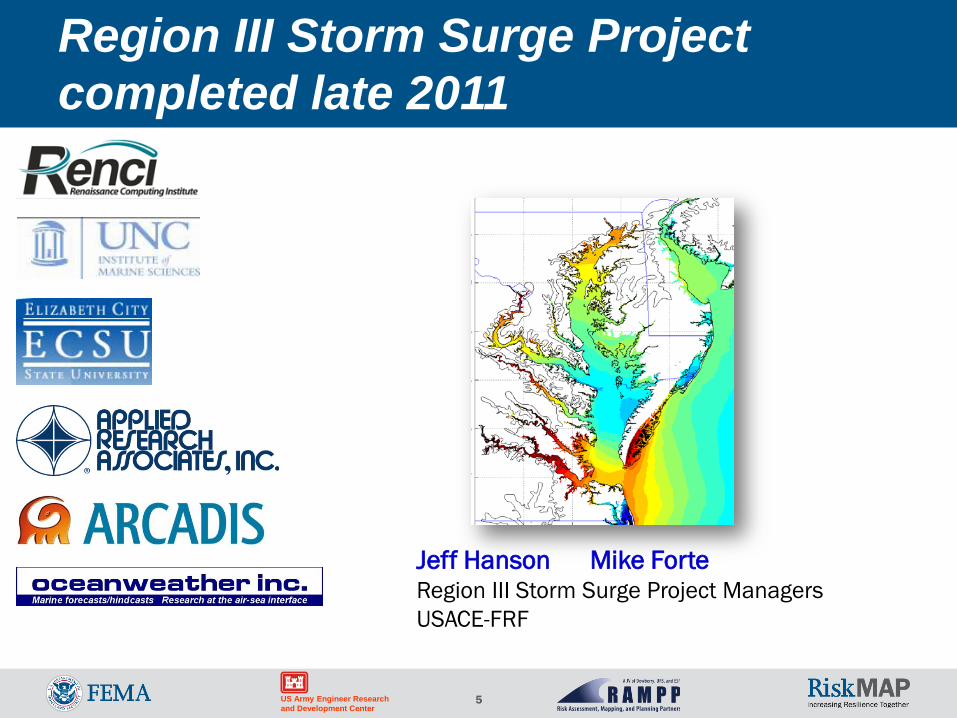
Jeff Hanson Mike Forte Region III Storm Surge Project Managers USACE-FRF
Region III Storm Surge Project completed late 2011
6 US Army Engineer Research and Development Center US Army Engineer Research and Development Center
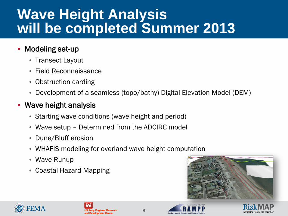
Wave Height Analysis will be completed Summer 2013 Modeling set-up
• Transect Layout • Field Reconnaissance • Obstruction carding • Development of a seamless (topo/bathy) Digital Elevation Model (DEM)
Wave height analysis • Starting wave conditions (wave height and period) • Wave setup – Determined from the ADCIRC model • Dune/Bluff erosion • WHAFIS modeling for overland wave height computation • Wave Runup • Coastal Hazard Mapping
7 US Army Engineer Research and Development Center US Army Engineer Research and Development Center
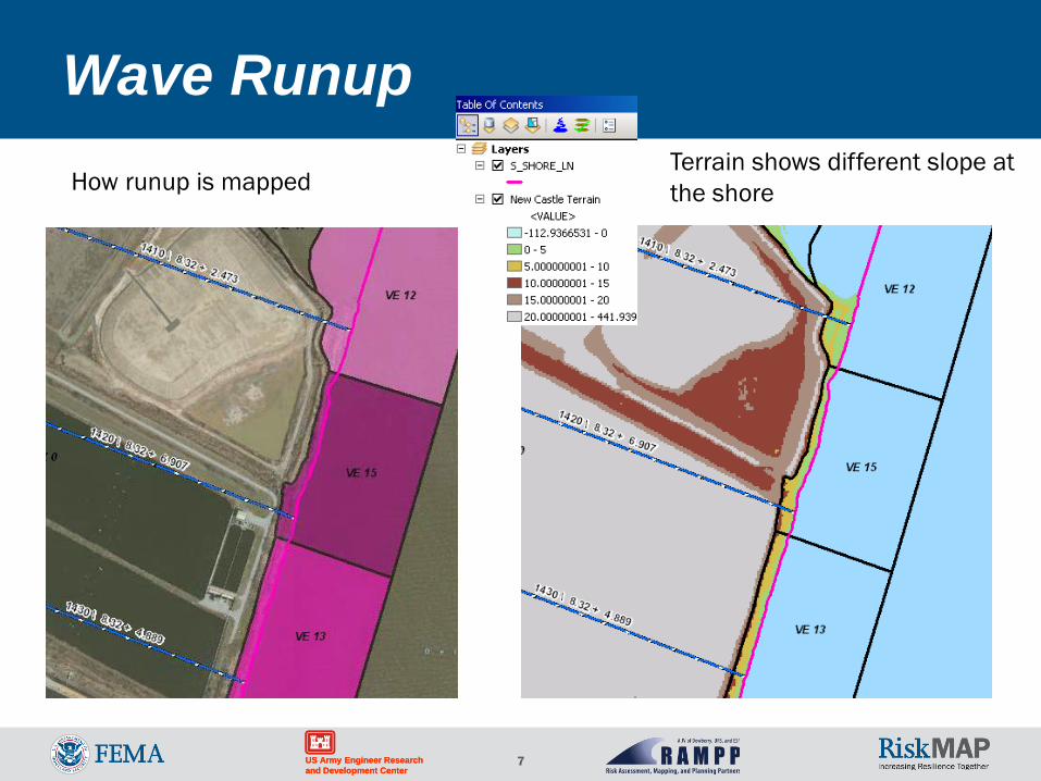
Wave Runup How runup is mapped
Terrain shows different slope at the shore
8 US Army Engineer Research and Development Center US Army Engineer Research and Development Center
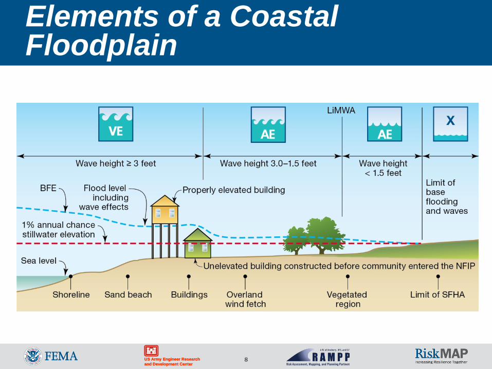
Elements of a Coastal Floodplain
9 US Army Engineer Research and Development Center US Army Engineer Research and Development Center
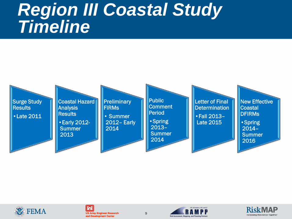
Region III Coastal Study Timeline
Surge Study Results •Late 2011
Coastal Hazard Analysis Results •Early 2012-Summer 2013
Preliminary FIRMs • Summer 2012– Early 2014
Public Comment Period •Spring 2013– Summer 2014
Letter of Final Determination •Fall 2013– Late 2015
New Effective Coastal DFIRMs •Spring 2014– Summer 2016
10 US Army Engineer Research and Development Center US Army Engineer Research and Development Center
OUTREACH
11 US Army Engineer Research and Development Center US Army Engineer Research and Development Center
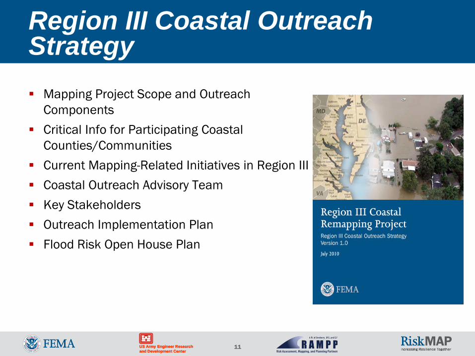
Region III Coastal Outreach Strategy Mapping Project Scope and Outreach
Components Critical Info for Participating Coastal
Counties/Communities Current Mapping-Related Initiatives in Region III Coastal Outreach Advisory Team Key Stakeholders Outreach Implementation Plan Flood Risk Open House Plan
12 US Army Engineer Research and Development Center US Army Engineer Research and Development Center
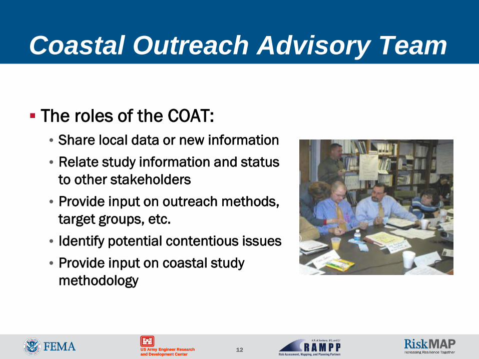
Coastal Outreach Advisory Team
The roles of the COAT: • Share local data or new information • Relate study information and status
to other stakeholders • Provide input on outreach methods,
target groups, etc. • Identify potential contentious issues • Provide input on coastal study
methodology
13 US Army Engineer Research and Development Center US Army Engineer Research and Development Center
Coastal Outreach Meetings 5 Regional Technical Storm Surge Study Meetings Stakeholder Meetings – COAT 5 Community Meetings per Coastal County or City Initial Coastal Community Coordination Meetings Flood Study Review Meetings Final Community Coordination Meetings Open Houses (Including Public) Resilience Meetings
14 US Army Engineer Research and Development Center US Army Engineer Research and Development Center
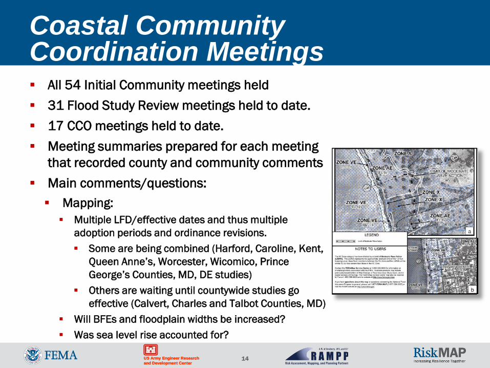
Coastal Community Coordination Meetings All 54 Initial Community meetings held 31 Flood Study Review meetings held to date. 17 CCO meetings held to date. Meeting summaries prepared for each meeting
that recorded county and community comments Main comments/questions: Mapping: Multiple LFD/effective dates and thus multiple
adoption periods and ordinance revisions. Some are being combined (Harford, Caroline, Kent,
Queen Anne’s, Worcester, Wicomico, Prince George’s Counties, MD, DE studies)
Others are waiting until countywide studies go effective (Calvert, Charles and Talbot Counties, MD)
Will BFEs and floodplain widths be increased? Was sea level rise accounted for?
15 US Army Engineer Research and Development Center US Army Engineer Research and Development Center
Main comments/questions (continued) Ordinances: New VE Zones New model floodplain ordinance in MD & VA Adopting higher standards based in the
LiMWA Costs to communities: Changing ordinances Notifying property owners Answering questions
Insurance Support for insurance questions and
outreach CD with FEMA brochures and FAQs MD counties directed to
www.mdfloodmaps.org
Initial Outreach - Coastal Community Coordination Meetings (continued)
16 US Army Engineer Research and Development Center US Army Engineer Research and Development Center
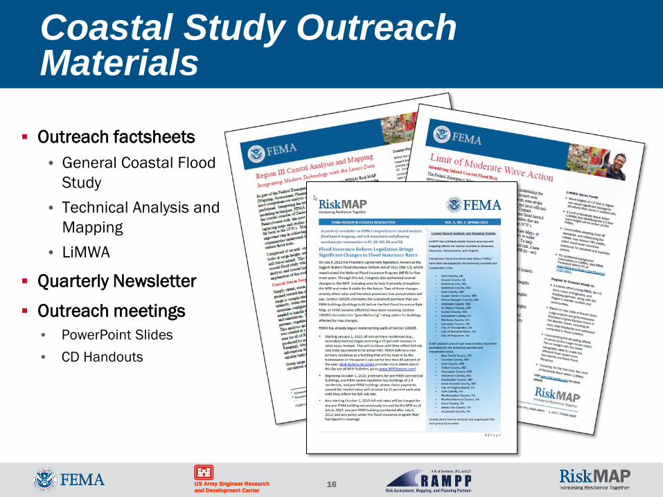
Coastal Study Outreach Materials
Outreach factsheets • General Coastal Flood
Study • Technical Analysis and
Mapping • LiMWA
Quarterly Newsletter
Outreach meetings • PowerPoint Slides • CD Handouts
17 US Army Engineer Research and Development Center US Army Engineer Research and Development Center
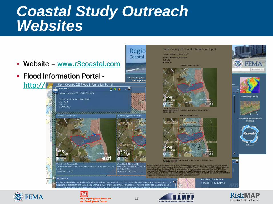
Coastal Study Outreach Websites
Website – www.r3coastal.com
Flood Information Portal - http://maps.riskmap3.com/
18 US Army Engineer Research and Development Center US Army Engineer Research and Development Center
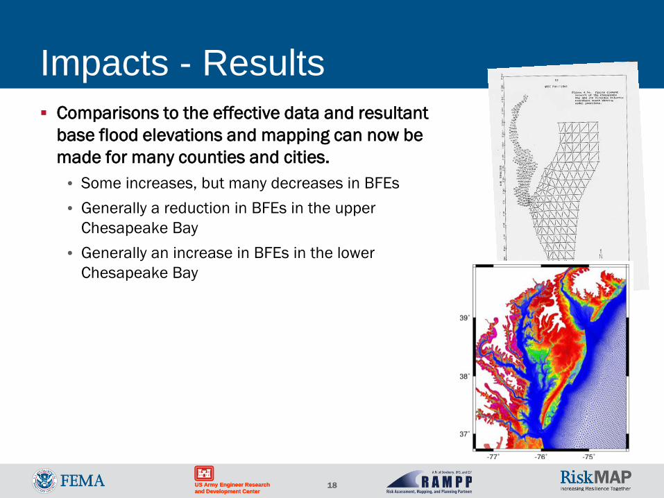
Impacts - Results Comparisons to the effective data and resultant
base flood elevations and mapping can now be made for many counties and cities. • Some increases, but many decreases in BFEs • Generally a reduction in BFEs in the upper
Chesapeake Bay • Generally an increase in BFEs in the lower
Chesapeake Bay
19 US Army Engineer Research and Development Center US Army Engineer Research and Development Center
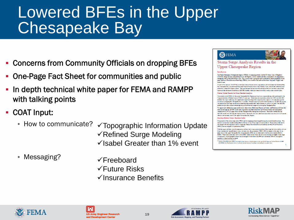
Lowered BFEs in the Upper Chesapeake Bay
Concerns from Community Officials on dropping BFEs
One-Page Fact Sheet for communities and public
In depth technical white paper for FEMA and RAMPP with talking points
COAT Input: • How to communicate?
• Messaging?
Topographic Information Update Refined Surge Modeling Isabel Greater than 1% event
Freeboard Future Risks Insurance Benefits
20 US Army Engineer Research and Development Center US Army Engineer Research and Development Center
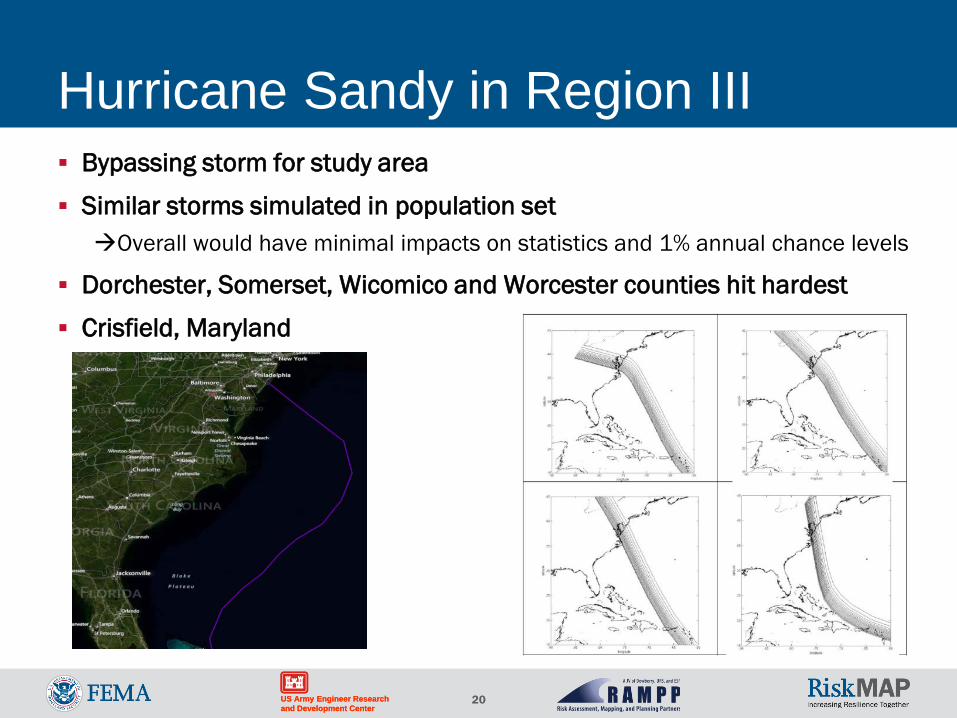
Hurricane Sandy in Region III Bypassing storm for study area
Similar storms simulated in population set Overall would have minimal impacts on statistics and 1% annual chance levels
Dorchester, Somerset, Wicomico and Worcester counties hit hardest
Crisfield, Maryland
21 US Army Engineer Research and Development Center US Army Engineer Research and Development Center
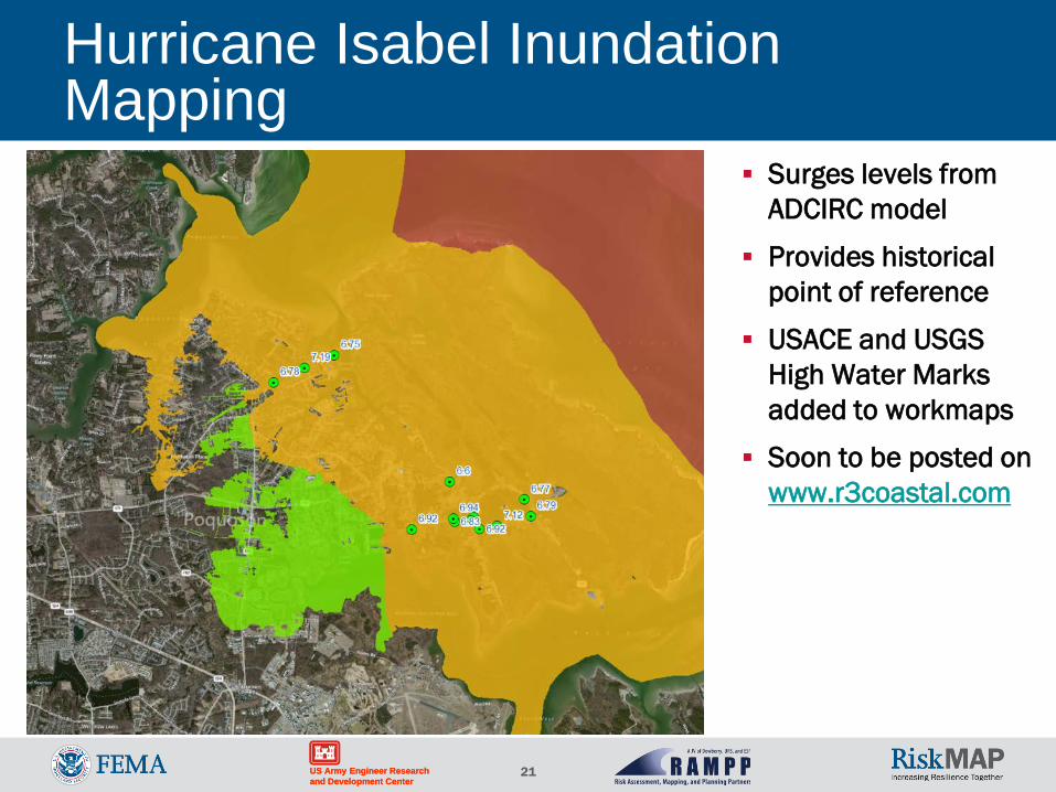
Hurricane Isabel Inundation Mapping
Surges levels from ADCIRC model
Provides historical point of reference
USACE and USGS High Water Marks added to workmaps
Soon to be posted on www.r3coastal.com
22 US Army Engineer Research and Development Center US Army Engineer Research and Development Center
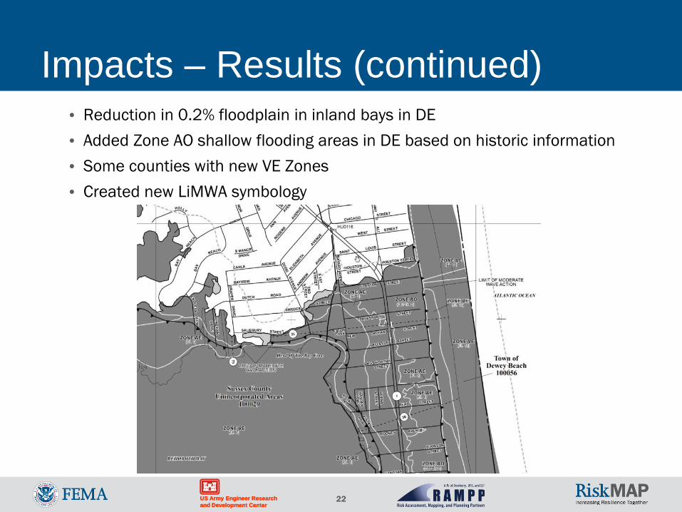
Impacts – Results (continued) • Reduction in 0.2% floodplain in inland bays in DE • Added Zone AO shallow flooding areas in DE based on historic information • Some counties with new VE Zones • Created new LiMWA symbology
23 US Army Engineer Research and Development Center US Army Engineer Research and Development Center
Questions/Discussion