cppsis5058a conduct geodetic surveying -...
TRANSCRIPT
CPPSIS5058A Conduct geodetic surveying
Release 1
CPPSIS5058A Conduct geodetic surveying
Modification HistoryUnit revised and not equivalent to CPPSIS5028A Conduct geodetic surveyingElement structure and performance criteria reviewed to reflect workplace requirementsSkills and knowledge requirements and the range statement updated
Unit DescriptorThis unit of competency specifies the outcomes required to conduct geodetic surveying. It requires the ability to use triangulation, trigonometric heighting and electronic distance measuring (EDM) traversing. Functions would be carried out within organisational guidelines.
Application of the UnitThis unit of competency supports the application of communication, organisational, problem-solving and time management skills, interpreting technical documentation and a very sound understanding of technology. The skills and knowledge acquired upon completion of this unit would support the needs of employees in surveying.
Licensing/Regulatory InformationLicensing, legislative, regulatory and certification requirements may impact on this unit. Incorporate these requirements according to state, territory and federal legislation.
Pre-RequisitesNil
Employability Skills InformationThis unit contains employability skills.
CPPSIS5058A Conduct geodetic surveying Date this document was generated: 27 November 2012
Approved Page 2 of 16
© Commonwealth of Australia, 2012 Construction & Property Services Industry Skills Council
Elements and Performance Criteria Pre-ContentElements describe the essential outcomes of a unit of competency.
Performance criteria describe the required performance needed to demonstrate achievement of the element. Where bold italicised text is used, further information is detailed in the required skills and knowledge and/or the range statement. Assessment of performance is to be consistent with the evidence guide.
Elements and Performance Criteria
1 1.1 Geodetic surveying task objectives are defined.
1.2 Characteristics of the operating environment and any special equipment or resource requirements are identified according to organisational guidelines.
1.3 Higher authority endorsements are obtained where necessary to ensure resources and equipment operation comply with project specifications and organisational priorities.
1.4 Equipment is checked to be in good working order, according to manufacturer specifications.
Organise project resources for geodetic surveying.
1.5 Project objectives comply with relevant legislation and company policy.
2 2.1 Project objectives, principal work activities and constraints are defined and documented according to surveying data specification and client requirements.
2.2 Design is interpreted to identify surveying data.
2.3 Relevant reference surface and projection plane are selected for the geodetic components.
2.4 Requirements for survey control, including precise traverse, allowable angle, linear miscloses, triangulation and modern technology are determined.
Plan geodetic surveying.
2.5 Trigonometrical heighting and calculations are conducted using appropriate formulas.
CPPSIS5058A Conduct geodetic surveying Date this document was generated: 27 November 2012
Approved Page 3 of 16
© Commonwealth of Australia, 2012 Construction & Property Services Industry Skills Council
2.6 Appropriate items or equipment required to carry out a precise EDM traversing are used to establish survey control.
2.7 Agreed communication processes between project, client and other stakeholders are implemented and maintained.
2.8 OHS and legislative requirements are incorporated into project risk management.
2.9 Pertinent legal and statutory standards are researched, considered and adhered to.
3 3.1 Work is scheduled and allocated to be completed within time available.
3.2 Project management mechanisms are implemented to measure, record and report progress of activities in relation to the agreed schedule and plans.
3.3 Identified surveying components are accurately measured.
3.4 Measured surveying data is reduced to project surveying reference system for comparison with design.
3.5 Measurements are validated and recorded according to project specifications.
3.6 Agreed communication processes between project, client and other stakeholders are implemented and maintained.
3.7 Contingencies and constraints are managed to ensure project meets specifications.
3.8 OHS requirements are adhered to throughout the survey.
Manage and monitor the project.
3.9 Quality assurance processes are implemented based on the project plan.
4 4.1 Relevant personnel are informed of the results according to organisational guidelines.
Finalise the project.
4.2 Required documentation is completed according to organisational guidelines.
CPPSIS5058A Conduct geodetic surveying Date this document was generated: 27 November 2012
Approved Page 4 of 16
© Commonwealth of Australia, 2012 Construction & Property Services Industry Skills Council
4.3 Surveying data is archived according to project and organisational specifications.
CPPSIS5058A Conduct geodetic surveying Date this document was generated: 27 November 2012
Approved Page 5 of 16
© Commonwealth of Australia, 2012 Construction & Property Services Industry Skills Council
Required Skills and KnowledgeThis section describes the essential skills and knowledge and their level, required for this unit.
Required skills ability to create, extract and output information from engineering plans ability to mentally evaluate data for approximate results communication skills to:
consult effectively with clients and colleagues impart knowledge and ideas through graphic, oral, written and visual means
computer skills to: develop business documentation apply surveying software
literacy skills to: analyse errors assess and use workplace information conduct web-based searches and use digital techniques read and write key performance reports, including technical reports research and evaluate to source surveying and spatial information
services (SSIS) educational information numeracy skills to:
accurately record and collate estimate costs analyse error conduct image analysis interpret and analyse statistics perform mental calculations undertake complex computations
organisational skills to plan and prioritise activities to meet contractual requirements
spatial skills to: exercise precision and accuracy in relation to recording and using geodetic data archive and retrieve spatial data manage and manipulate spatial data manage files solve problems relating to height, depth, breadth, dimension, direction and
position in actual operational activity and virtual representation
CPPSIS5058A Conduct geodetic surveying Date this document was generated: 27 November 2012
Approved Page 6 of 16
© Commonwealth of Australia, 2012 Construction & Property Services Industry Skills Council
Required knowledge data formats data management data processing fundamental algebra principles fundamental geometry principles fundamental trigonometry principles geodetic computations using appropriate computing aids, including appropriate
software industry requirements and standards interaction of surveying software with surveying equipment organisational policies and guidelines planning and control processes reference surfaces and projection planes relationships between different surfaces safe work practices spatial reference systems standard plan design and presentation conventions vocational issues involving relevant reference surface and relevant projection
surface
CPPSIS5058A Conduct geodetic surveying Date this document was generated: 27 November 2012
Approved Page 7 of 16
© Commonwealth of Australia, 2012 Construction & Property Services Industry Skills Council
Evidence GuideThe evidence guide provides advice on assessment and must be read in conjunction with the performance criteria, required skills and knowledge, the range statement and the Assessment Guidelines for this Training Package.
Overview of assessment This unit of competency could be assessed on its own or in combination with other units relevant to the job function, for example CPPSIS5053A Perform advanced surveying computations, and CPPSIS5054A Perform geodetic surveying computations.
Critical aspects for assessment and evidence required to demonstrate competency in this unit
A person who demonstrates competency in this unit must be able to provide evidence of:
applying checks wherever necessary applying formulas appropriately and obtaining correct
results assessing and recording geodetic computations from
varied sources defining terms used in geodetic calculations demonstrating a sound understanding of the
requirement for accuracy in calculations performing calculations in a logical progression to
solve geodetic surveying problems understanding mathematical concepts, astronomical
concepts and the determination of shadowing effects.
Specific resources for assessment
Resource implications for assessment include access to:
assessment instruments, including personal planner and assessment record book
assignment instructions, work plans and schedules, policy documents and duty statements
registered training provider of assessment services relevant guidelines, regulations and codes of practice suitable venue and equipment.
Access must be provided to appropriate learning and assessment support when required.Where applicable, physical resources should include equipment modified for people with disabilities.
Context of assessment Holistic: based on the performance criteria, evidence guide, range statement, and required skills and knowledge.
Method of assessment Demonstrated over a period of time and observed by the assessor (or assessment team working together to conduct
CPPSIS5058A Conduct geodetic surveying Date this document was generated: 27 November 2012
Approved Page 8 of 16
© Commonwealth of Australia, 2012 Construction & Property Services Industry Skills Council
the assessment).Demonstrated competency in a range of situations, that may include customer/workplace interruptions and involvement in related activities normally experienced in the workplace.Obtained by observing activities in the field and reviewing induction information. If this is not practicable, observation in realistic simulated environments may be substituted.
CPPSIS5058A Conduct geodetic surveying Date this document was generated: 27 November 2012
Approved Page 9 of 16
© Commonwealth of Australia, 2012 Construction & Property Services Industry Skills Council
Guidance information for assessment
Assessment requires that the clients’ objectives and industry expectations are met. If the clients’ objectives are narrowly defined or not representative of industry needs, it may be necessary to refer to portfolio case studies of a variety of SIS requirements to assess competency.Oral questioning or written assessment and hypothetical situations (scenarios) may be used to assess underpinning knowledge (in assessment situations where the candidate is offered a preference between oral questioning or written assessment, questions are to be identical).Supplementary evidence may be obtained from relevant authenticated correspondence from existing supervisors, team leaders or specialist training staff.All practical demonstration must adhere to the safety and environmental regulations relevant to each State or Territory.Where assessment is for the purpose of recognition (recognition of current competencies [RCC] or recognition of prior learning [RPL]), the evidence provided will need to be authenticated and show that it represents competency demonstrated over a period of time.In all cases where practical assessment is used it will be combined with targeted questioning to assess the underpinning knowledge.Assessment processes will be appropriate to the language and literacy levels of the candidate and any cultural issues that may affect responses to the questions, and will reflect the requirements of the competency and the work being performed.
Range StatementThe range statement relates to the unit of competency as a whole. It allows for different work environments and situations that may affect performance. Bold italicised wording in the performance criteria is detailed below. Add any essential operating conditions that may be present with training and assessment depending on the work situation, needs of the candidate, accessibility of the item, and local industry and regional contexts.
Geodetic surveying refers to:
surveying that takes into account the shape and size of the earth: points are marked on the ground to which topographic, land and engineering surveys can be related to provide additional coordinated points for mapping and other purposes.
CPPSIS5058A Conduct geodetic surveying Date this document was generated: 27 November 2012
Approved Page 10 of 16
© Commonwealth of Australia, 2012 Construction & Property Services Industry Skills Council
Objectives may include: agreed client requirements written survey data specifications.
Operating environment may include:
any surveying project work site.
Organisational guidelines may include:
appropriate timelines code of ethics company policy final product formats formal design parameters legislation relevant to the work or service function manuals OHS policy and procedures personnel practices and guidelines outlining teamwork,
work roles, responsibilities and delegations requirements for data processing.
Project specifications are: detailed technical descriptions of the survey data and its requirements.
Manufacturer specifications may include:
equipment specifications operator manuals.
Legislation may include: Australian standards award and enterprise agreements certification requirements codes of practice national industry standards quality assurance requirements.
Company policy may include:
internal and external communication guides company OHS standards customer service standards goals governance guides guides on the use of equipment mission statements operational manuals operational plan strategic plan.
Principal work activities may include:
task and sequence of activity determined to be appropriate in order to meet project objectives.
Constraints may include: coverage datum environmental factors
CPPSIS5058A Conduct geodetic surveying Date this document was generated: 27 November 2012
Approved Page 11 of 16
© Commonwealth of Australia, 2012 Construction & Property Services Industry Skills Council
industry requirements legal and statutory money resource availability scale time.
CPPSIS5058A Conduct geodetic surveying Date this document was generated: 27 November 2012
Approved Page 12 of 16
© Commonwealth of Australia, 2012 Construction & Property Services Industry Skills Council

Surveying data may include:
astronomy and determination of shadowing effects depth dimension direction flow rates position slope.
Client requirements may include description of outputs, such as:
contract memo tender brief verbal instructions written instructions.
Design may include: digital information hard copy plans maps written instructions.
Reference surface may include:
relevant reference ellipsoid sphere.
Projection plane may include:
any plane surface mathematically derived by a projection from a reference surface.
Geodetic components may include:
geodetic control: a network of sites for which precise positions and heights are known and for which the shape and size of the earth are taken into account
geodetic latitude: the smaller angle to the earth’s ellipsoid at the point and the plane of the equator
geodetic parameters other information required on the relevant surface or
projection plane.
Survey control may include: measurement of temperature and pressure measurement of main traverse lines with EDM
instrument specification of critical length of traverse line specification of pointings to be observed for vertical
angles along main traverse lines and for radiations use of direction method to observe main traverse angles
and radiations use of theodolite and direction method of angle
observation.
Precise traverse may include:
computation of three-dimensional coordinates and coordinate changes by intersection methods
error analysis of survey measurements (angle, distance and height difference).
CPPSIS5058A Conduct geodetic surveying Date this document was generated: 27 November 2012
Approved Page 13 of 16
© Commonwealth of Australia, 2012 Construction & Property Services Industry Skills Council
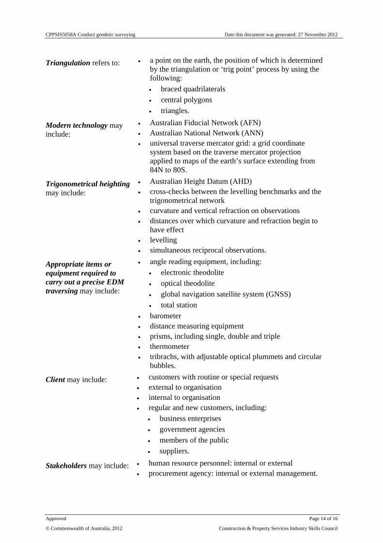
Triangulation refers to: a point on the earth, the position of which is determined by the triangulation or ‘trig point’ process by using the following: braced quadrilaterals central polygons triangles.
Modern technology may include:
Australian Fiducial Network (AFN) Australian National Network (ANN) universal traverse mercator grid: a grid coordinate
system based on the traverse mercator projection applied to maps of the earth’s surface extending from 84N to 80S.
Trigonometrical heighting may include:
Australian Height Datum (AHD) cross-checks between the levelling benchmarks and the
trigonometrical network curvature and vertical refraction on observations distances over which curvature and refraction begin to
have effect levelling simultaneous reciprocal observations.
Appropriate items or equipment required to carry out a precise EDM traversing may include:
angle reading equipment, including: electronic theodolite optical theodolite global navigation satellite system (GNSS) total station
barometer distance measuring equipment prisms, including single, double and triple thermometer tribrachs, with adjustable optical plummets and circular
bubbles.
Client may include: customers with routine or special requests external to organisation internal to organisation regular and new customers, including:
business enterprises government agencies members of the public suppliers.
Stakeholders may include: human resource personnel: internal or external procurement agency: internal or external management.
CPPSIS5058A Conduct geodetic surveying Date this document was generated: 27 November 2012
Approved Page 14 of 16
© Commonwealth of Australia, 2012 Construction & Property Services Industry Skills Council
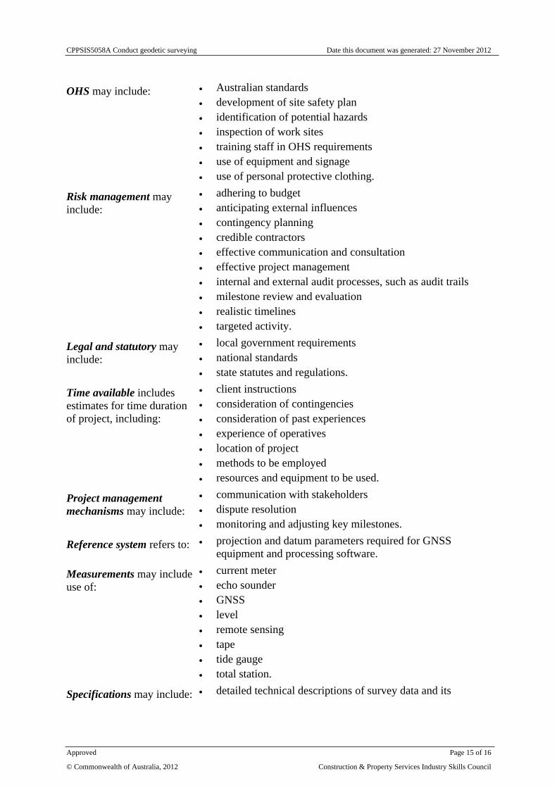
OHS may include: Australian standards development of site safety plan identification of potential hazards inspection of work sites training staff in OHS requirements use of equipment and signage use of personal protective clothing.
Risk management may include:
adhering to budget anticipating external influences contingency planning credible contractors effective communication and consultation effective project management internal and external audit processes, such as audit trails milestone review and evaluation realistic timelines targeted activity.
Legal and statutory may include:
local government requirements national standards state statutes and regulations.
Time available includes estimates for time duration of project, including:
client instructions consideration of contingencies consideration of past experiences experience of operatives location of project methods to be employed resources and equipment to be used.
Project management mechanisms may include:
communication with stakeholders dispute resolution monitoring and adjusting key milestones.
Reference system refers to: projection and datum parameters required for GNSS equipment and processing software.
Measurements may include use of:
current meter echo sounder GNSS level remote sensing tape tide gauge total station.
Specifications may include: detailed technical descriptions of survey data and its
CPPSIS5058A Conduct geodetic surveying Date this document was generated: 27 November 2012
Approved Page 15 of 16
© Commonwealth of Australia, 2012 Construction & Property Services Industry Skills Council
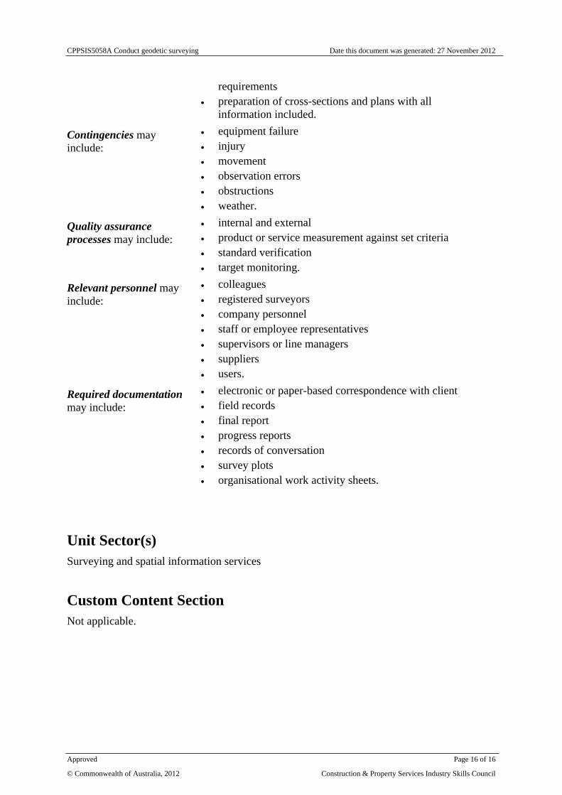
requirements preparation of cross-sections and plans with all
information included.
Contingencies may include:
equipment failure injury movement observation errors obstructions weather.
Quality assurance processes may include:
internal and external product or service measurement against set criteria standard verification target monitoring.
Relevant personnel may include:
colleagues registered surveyors company personnel staff or employee representatives supervisors or line managers suppliers users.
Required documentation may include:
electronic or paper-based correspondence with client field records final report progress reports records of conversation survey plots organisational work activity sheets.
Unit Sector(s)Surveying and spatial information services
Custom Content SectionNot applicable.
CPPSIS5058A Conduct geodetic surveying Date this document was generated: 27 November 2012
Approved Page 16 of 16
© Commonwealth of Australia, 2012 Construction & Property Services Industry Skills Council