capability statement surveying - vision surveys (qld) · 2015-05-31 · capability statement...
TRANSCRIPT
CAPABILITY STATEMENT
Surveying
YOUR VISION IS OUR GOAL
Surveying | Town Planning | Project Coordination | Mapping | Development | Civil & Mining Infrastructure
VISION SURVEYS (QLD) – Company Profile
Vision Surveys (QLD) Pty Ltd (VSQ) has been operating in Central & North Queensland for 8 years, with the two
Directors having a combined local presence of over 30 years. Included in our full time staff of 24 are Licensed
Surveyors, Town Planners, Survey Graduates and technicians, Survey Assistants, draftspersons, and office support
staff. We are able to provide Mine, Civil and Registered Graduate & Cadastral surveyors where required. The
practice is fully insured, and has quality assurance systems in place for all aspects of our work.
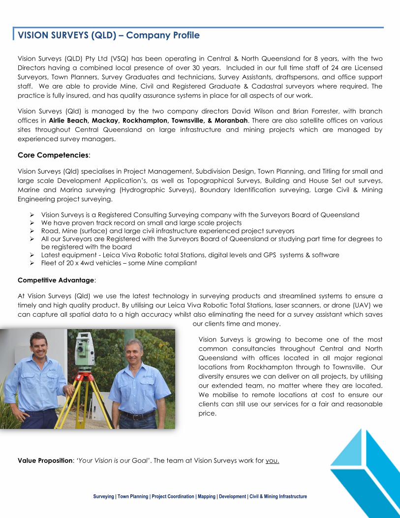
Vision Surveys (Qld) is managed by the two company directors David Wilson and Brian Forrester, with branch
offices in Airlie Beach, Mackay, Rockhampton, Townsville, & Moranbah. There are also satellite offices on various
sites throughout Central Queensland on large infrastructure and mining projects which are managed by
experienced survey managers.
Core Competencies:
Vision Surveys (Qld) specialises in Project Management, Subdivision Design, Town Planning, and Titling for small and
large scale Development Application’s, as well as Topographical Surveys, Building and House Set out surveys,
Marine and Marina surveying (Hydrographic Surveys), Boundary Identification surveying, Large Civil & Mining
Engineering project surveying.
Vision Surveys is a Registered Consulting Surveying company with the Surveyors Board of Queensland
We have proven track record on small and large scale projects
Road, Mine (surface) and large civil infrastructure experienced project surveyors
All our Surveyors are Registered with the Surveyors Board of Queensland or studying part time for degrees to
be registered with the board
Latest equipment - Leica Viva Robotic total Stations, digital levels and GPS systems & software
Fleet of 20 x 4wd vehicles – some Mine compliant
Competitive Advantage:
At Vision Surveys (Qld) we use the latest technology in surveying products and streamlined systems to ensure a
timely and high quality product. By utilising our Leica Viva Robotic Total Stations, laser scanners, or drone (UAV) we
can capture all spatial data to a high accuracy whilst also eliminating the need for a survey assistant which saves
our clients time and money.
Vision Surveys is growing to become one of the most
common consultancies throughout Central and North
Queensland with offices located in all major regional
locations from Rockhampton through to Townsville. Our
diversity ensures we can deliver on all projects, by utilising
our extended team, no matter where they are located.
We mobilise to remote locations at cost to ensure our
clients can still use our services for a fair and reasonable
price.
Value Proposition: ‘Your Vision is our Goal’. The team at Vision Surveys work for you.
Surveying | Town Planning | Project Coordination | Mapping | Development | Civil & Mining Infrastructure
Capabilities and Disciplines - Surveying
The Vision Surveys (Qld) Surveying service line showcases a highly motivated team of enthusiastic staff who
maintain a unique blend of skills and experience that allows us to provide professional and reliable advice and
services to our valued clientele.
With our team’s excelled and diverse Surveying skills, we are capable to undertake a project from the initial
Contour and Detail Survey through to Set Out for Construction and then to final As Constructed and Titling Survey.
Listed below are our specific Surveying Capabilities and Services;
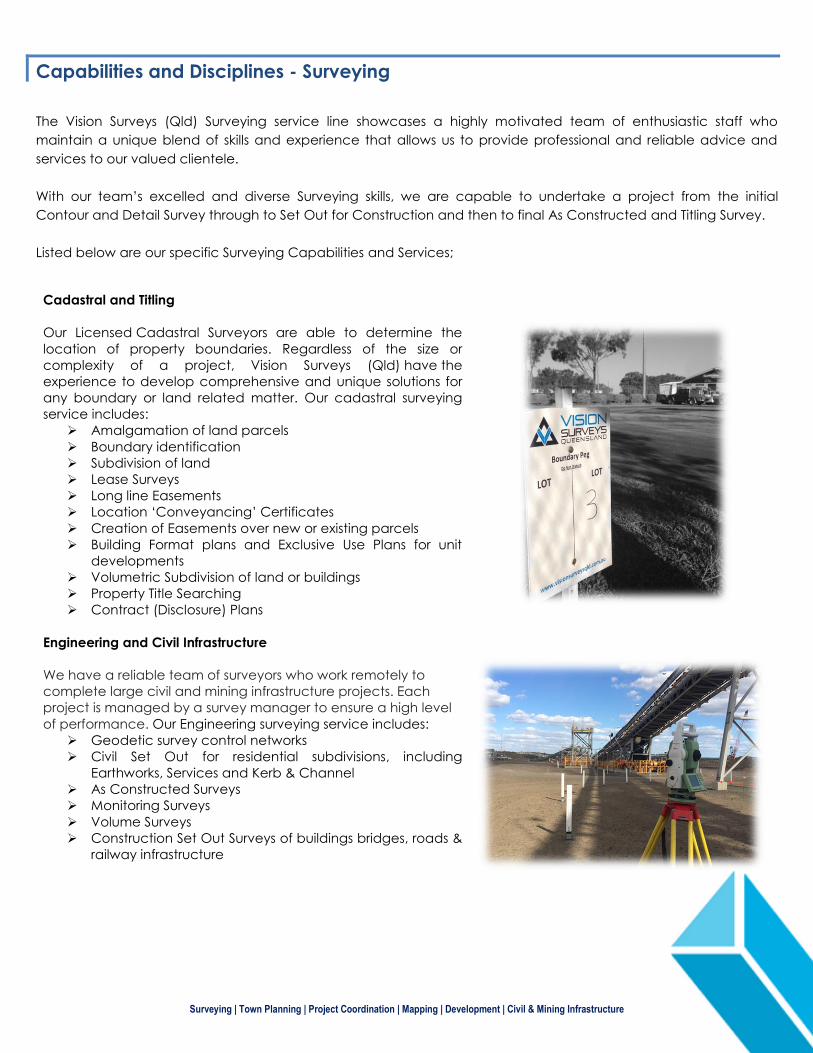
Cadastral and Titling
Our Licensed Cadastral Surveyors are able to determine the
location of property boundaries. Regardless of the size or
complexity of a project, Vision Surveys (Qld) have the
experience to develop comprehensive and unique solutions for
any boundary or land related matter. Our cadastral surveying
service includes:
Amalgamation of land parcels
Boundary identification
Subdivision of land
Lease Surveys
Long line Easements
Location ‘Conveyancing’ Certificates
Creation of Easements over new or existing parcels
Building Format plans and Exclusive Use Plans for unit
developments
Volumetric Subdivision of land or buildings
Property Title Searching
Contract (Disclosure) Plans
Engineering and Civil Infrastructure
We have a reliable team of surveyors who work remotely to
complete large civil and mining infrastructure projects. Each
project is managed by a survey manager to ensure a high level
of performance. Our Engineering surveying service includes:
Geodetic survey control networks
Civil Set Out for residential subdivisions, including
Earthworks, Services and Kerb & Channel
As Constructed Surveys
Monitoring Surveys
Volume Surveys
Construction Set Out Surveys of buildings bridges, roads &
railway infrastructure
Surveying | Town Planning | Project Coordination | Mapping | Development | Civil & Mining Infrastructure
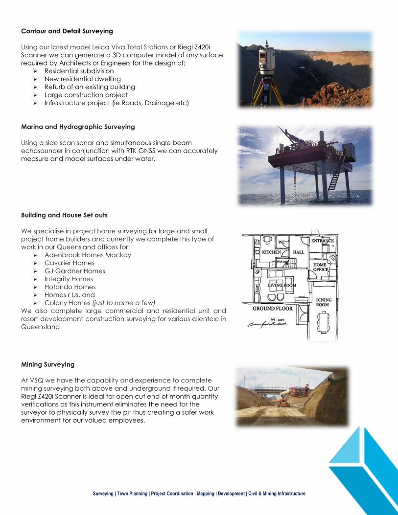
Contour and Detail Surveying
Using our latest model Leica Viva Total Stations or Riegl Z420i
Scanner we can generate a 3D computer model of any surface
required by Architects or Engineers for the design of;
Residential subdivision
New residential dwelling
Refurb of an existing building
Large construction project
Infrastructure project (ie Roads, Drainage etc)
Marina and Hydrographic Surveying
Using a side scan sonar and simultaneous single beam
echosounder in conjunction with RTK GNSS we can accurately
measure and model surfaces under water.
Building and House Set outs
We specialise in project home surveying for large and small
project home builders and currently we complete this type of
work in our Queensland offices for;
Adenbrook Homes Mackay
Cavalier Homes
GJ Gardner Homes
Integrity Homes
Hotondo Homes
Homes r Us, and
Colony Homes (just to name a few)
We also complete large commercial and residential unit and
resort development construction surveying for various clientele in
Queensland
Mining Surveying
At VSQ we have the capability and experience to complete
mining surveying both above and underground if required. Our
Riegl Z420i Scanner is ideal for open cut end of month quantity
verifications as this instrument eliminates the need for the
surveyor to physically survey the pit thus creating a safer work
environment for our valued employees.
Surveying | Town Planning | Project Coordination | Mapping | Development | Civil & Mining Infrastructure
Key Personnel – Surveying
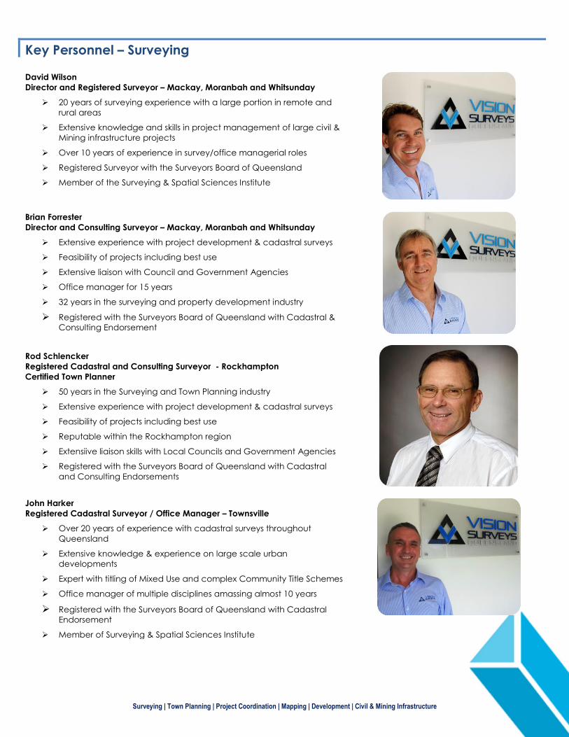
David Wilson
Director and Registered Surveyor – Mackay, Moranbah and Whitsunday
20 years of surveying experience with a large portion in remote and
rural areas
Extensive knowledge and skills in project management of large civil &
Mining infrastructure projects
Over 10 years of experience in survey/office managerial roles
Registered Surveyor with the Surveyors Board of Queensland
Member of the Surveying & Spatial Sciences Institute
Brian Forrester
Director and Consulting Surveyor – Mackay, Moranbah and Whitsunday
Extensive experience with project development & cadastral surveys
Feasibility of projects including best use
Extensive liaison with Council and Government Agencies
Office manager for 15 years
32 years in the surveying and property development industry
Registered with the Surveyors Board of Queensland with Cadastral &
Consulting Endorsement
Rod Schlencker
Registered Cadastral and Consulting Surveyor - Rockhampton
Certified Town Planner
50 years in the Surveying and Town Planning industry
Extensive experience with project development & cadastral surveys
Feasibility of projects including best use
Reputable within the Rockhampton region
Extensiive liaison skills with Local Councils and Government Agencies
Registered with the Surveyors Board of Queensland with Cadastral
and Consulting Endorsements
John Harker
Registered Cadastral Surveyor / Office Manager – Townsville
Over 20 years of experience with cadastral surveys throughout
Queensland
Extensive knowledge & experience on large scale urban
developments
Expert with titling of Mixed Use and complex Community Title Schemes
Office manager of multiple disciplines amassing almost 10 years
Registered with the Surveyors Board of Queensland with Cadastral
Endorsement
Member of Surveying & Spatial Sciences Institute
Surveying | Town Planning | Project Coordination | Mapping | Development | Civil & Mining Infrastructure
Project Showcase – Surveying
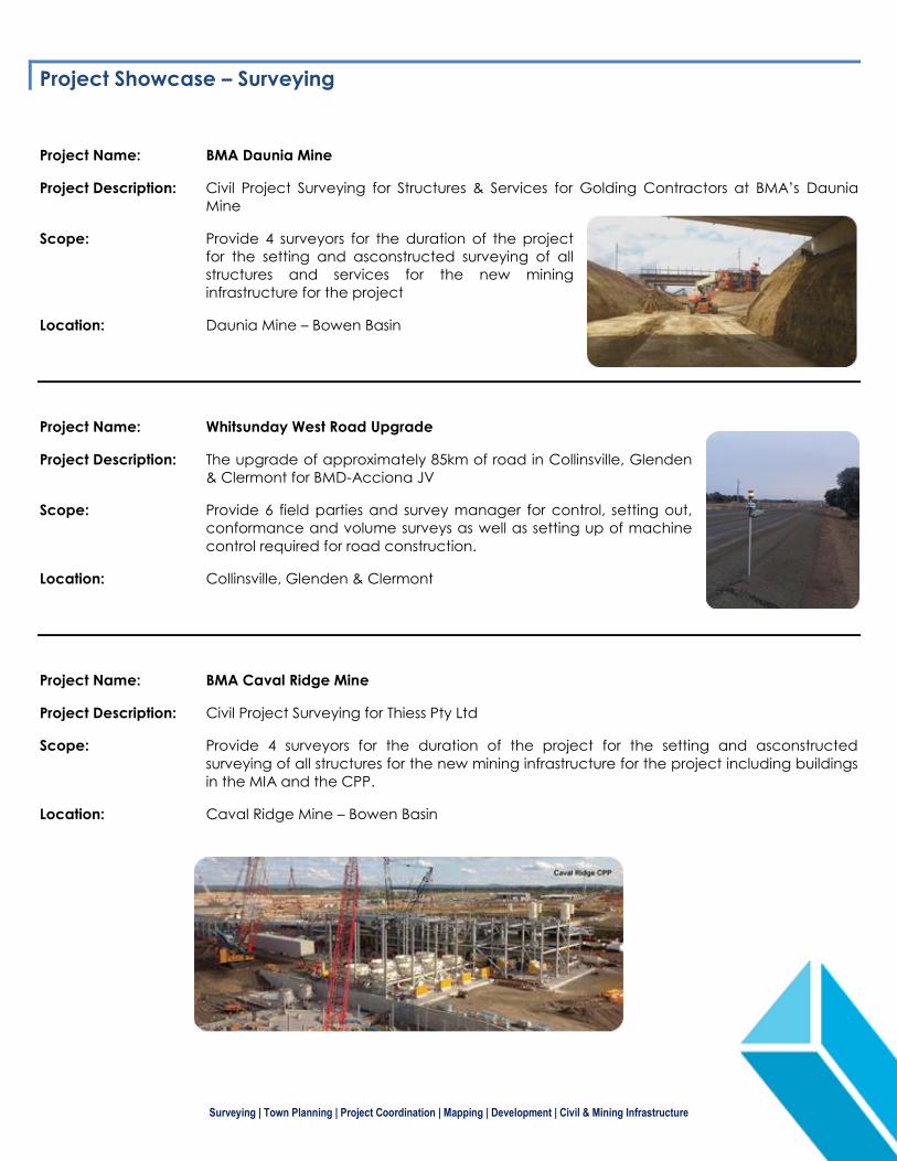
Project Name: BMA Daunia Mine
Project Description: Civil Project Surveying for Structures & Services for Golding Contractors at BMA’s Daunia
Mine
Scope: Provide 4 surveyors for the duration of the project
for the setting and asconstructed surveying of all
structures and services for the new mining
infrastructure for the project
Location: Daunia Mine – Bowen Basin
Project Name: Whitsunday West Road Upgrade
Project Description: The upgrade of approximately 85km of road in Collinsville, Glenden
& Clermont for BMD-Acciona JV
Scope: Provide 6 field parties and survey manager for control, setting out,
conformance and volume surveys as well as setting up of machine
control required for road construction.
Location: Collinsville, Glenden & Clermont
Project Name: BMA Caval Ridge Mine
Project Description: Civil Project Surveying for Thiess Pty Ltd
Scope: Provide 4 surveyors for the duration of the project for the setting and asconstructed
surveying of all structures for the new mining infrastructure for the project including buildings
in the MIA and the CPP.
Location: Caval Ridge Mine – Bowen Basin
Surveying | Town Planning | Project Coordination | Mapping | Development | Civil & Mining Infrastructure
Project Name: Peak Downs Highway Upgrade
Project Description: The upgrade of approximately 60km of road from
Walkerston to Moranbah for GOHL (Golding and OHL JV)
Scope: Provide 8 surveyors for control, setting out, conformance
and volume surveys as well as setting up of machine
control required for road construction.
Location: Walkerston (Mackay) to Moranbah
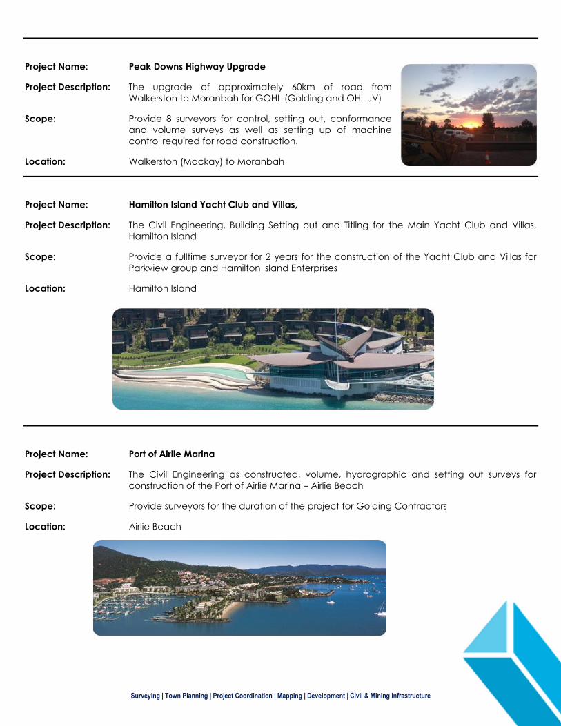
Project Name: Hamilton Island Yacht Club and Villas,
Project Description: The Civil Engineering, Building Setting out and Titling for the Main Yacht Club and Villas,
Hamilton Island
Scope: Provide a fulltime surveyor for 2 years for the construction of the Yacht Club and Villas for
Parkview group and Hamilton Island Enterprises
Location: Hamilton Island
Project Name: Port of Airlie Marina
Project Description: The Civil Engineering as constructed, volume, hydrographic and setting out surveys for
construction of the Port of Airlie Marina – Airlie Beach
Scope: Provide surveyors for the duration of the project for Golding Contractors
Location: Airlie Beach
Surveying | Town Planning | Project Coordination | Mapping | Development | Civil & Mining Infrastructure
Contact and Offices
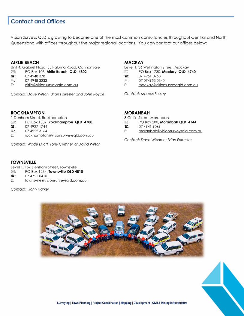
Vision Surveys QLD is growing to become one of the most common consultancies throughout Central and North
Queensland with offices throughout the major regional locations. You can contact our offices below:
AIRLIE BEACH Unit 4, Gabriel Plaza, 55 Paluma Road, Cannonvale
: PO Box 103, Airlie Beach QLD 4802
: 07 4948 3781
: 07 4948 3233
Contact: Dave Wilson, Brian Forrester and John Royce
MACKAY
Level 1, 36 Wellington Street, Mackay
: PO Box 1730, Mackay QLD 4740
: 07 4951 0768
: 07 074953 0340
Contact: Marcus Fossey
ROCKHAMPTON
1 Denham Street, Rockhampton
: PO Box 1337, Rockhampton QLD 4700
: 07 4927 1744
: 07 4922 3164
Contact: Wade Elliott, Tony Cumner or David Wilson
MORANBAH 3 Griffin Street, Moranbah
: PO Box 200, Moranbah QLD 4744
: 07 4941 9069
Contact: Dave Wilson or Brian Forrester
TOWNSVILLE
Level 1, 167 Denham Street, Townsville
: PO Box 1234, Townsville QLD 4810
: 07 4721 0410
Contact: John Harker