axys ‘smart’ buoys help createaxystechnologies.com/wp-content/uploads/2014/11/... · axys...
TRANSCRIPT
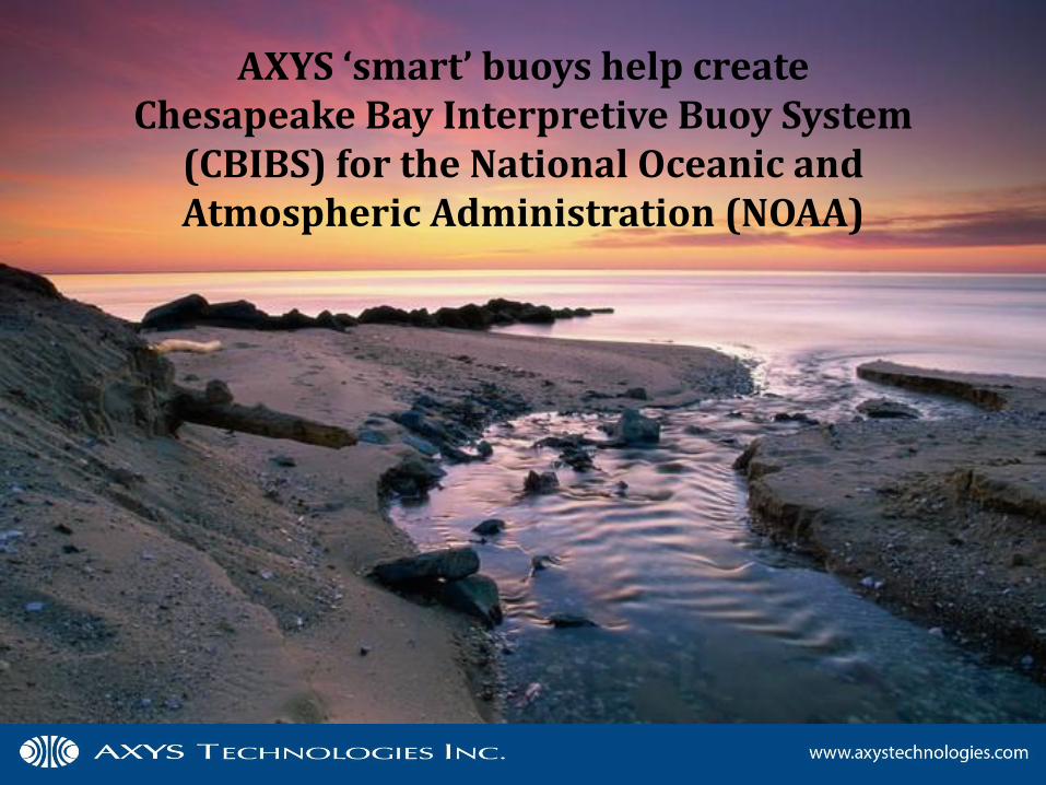
AXYS ‘smart’ buoys help create Chesapeake Bay Interpretive Buoy System
(CBIBS) for the National Oceanic and Atmospheric Administration (NOAA)
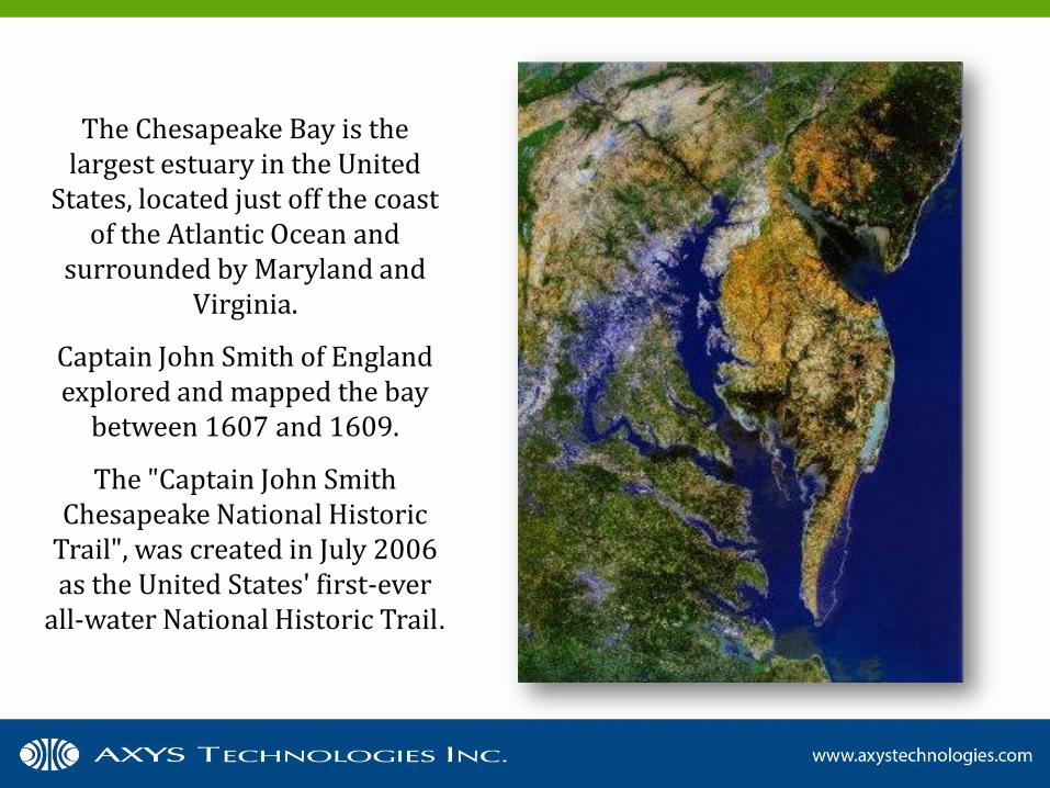
The Chesapeake Bay is the largest estuary in the United
States, located just off the coast of the Atlantic Ocean and
surrounded by Maryland and Virginia.
Captain John Smith of England explored and mapped the bay
between 1607 and 1609.
The "Captain John Smith Chesapeake National Historic
Trail", was created in July 2006 as the United States' first-ever
all-water National Historic Trail.
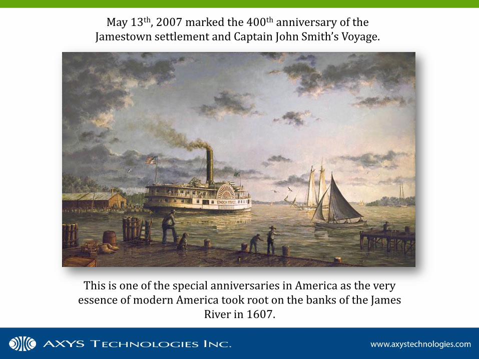
May 13th, 2007 marked the 400th anniversary of the Jamestown settlement and Captain John Smith’s Voyage.
This is one of the special anniversaries in America as the very essence of modern America took root on the banks of the James
River in 1607.
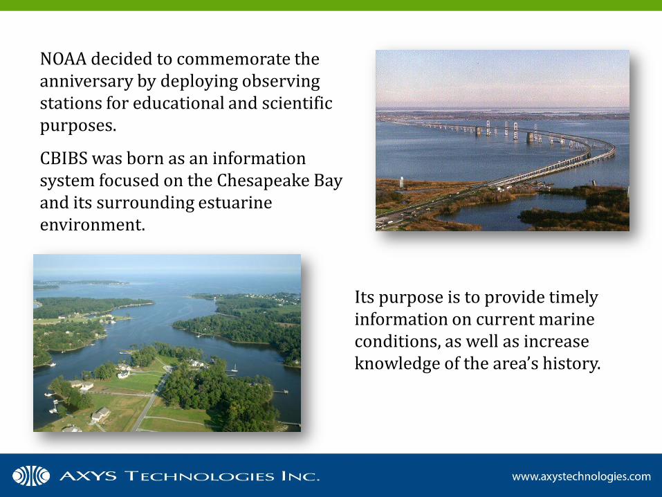
NOAA decided to commemorate the anniversary by deploying observing stations for educational and scientific purposes.
CBIBS was born as an information system focused on the Chesapeake Bay and its surrounding estuarine environment.
Its purpose is to provide timely information on current marine conditions, as well as increase knowledge of the area’s history.
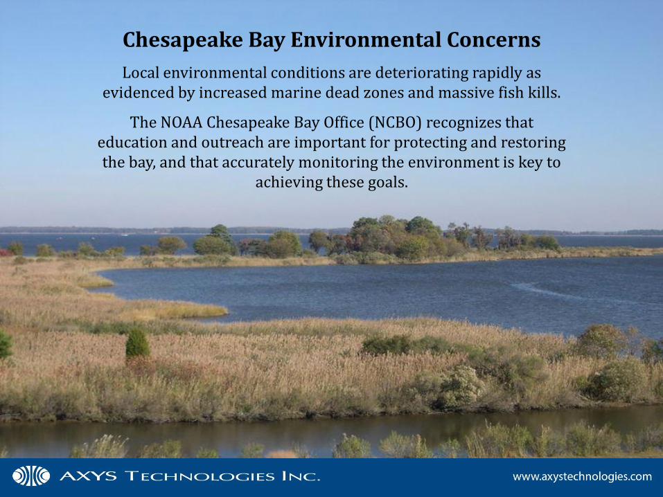
Chesapeake Bay Environmental Concerns
Local environmental conditions are deteriorating rapidly as evidenced by increased marine dead zones and massive fish kills.
The NOAA Chesapeake Bay Office (NCBO) recognizes that education and outreach are important for protecting and restoring the bay, and that accurately monitoring the environment is key to
achieving these goals.
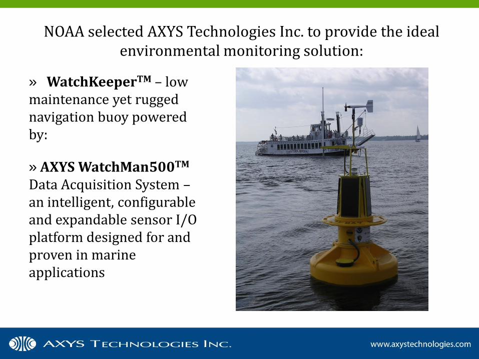
» WatchKeeperTM – low maintenance yet rugged navigation buoy powered by:
» AXYS WatchMan500TM Data Acquisition System – an intelligent, configurable and expandable sensor I/O platform designed for and proven in marine applications
NOAA selected AXYS Technologies Inc. to provide the ideal environmental monitoring solution:
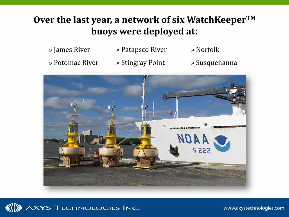
Over the last year, a network of six WatchKeeperTM buoys were deployed at:
» James River
» Potomac River
» Patapsco River
» Stingray Point
» Norfolk
» Susquehanna
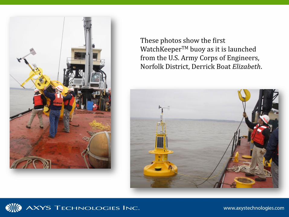
These photos show the first WatchKeeperTM buoy as it is launched from the U.S. Army Corps of Engineers, Norfolk District, Derrick Boat Elizabeth.
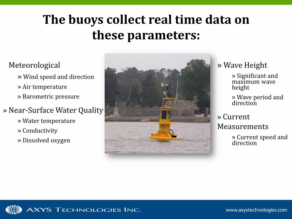
The buoys collect real time data on these parameters:
» Meteorological
» Wind speed and direction
» Air temperature
» Barometric pressure
» Near-Surface Water Quality » Water temperature
» Conductivity
» Dissolved oxygen
» Wave Height » Significant and maximum wave height
» Wave period and direction
» Current Measurements
» Current speed and direction
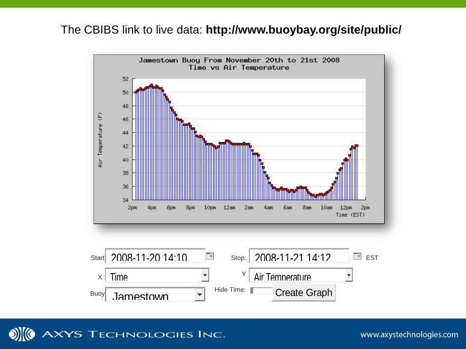
The CBIBS link to live data: http://www.buoybay.org/site/public/
Start: Stop: EST
Y X
Buoy Hide Time:
2008-11-20 14:10 2008-11-21 14:12
Time Air Temperature
Jamestown Create Graph
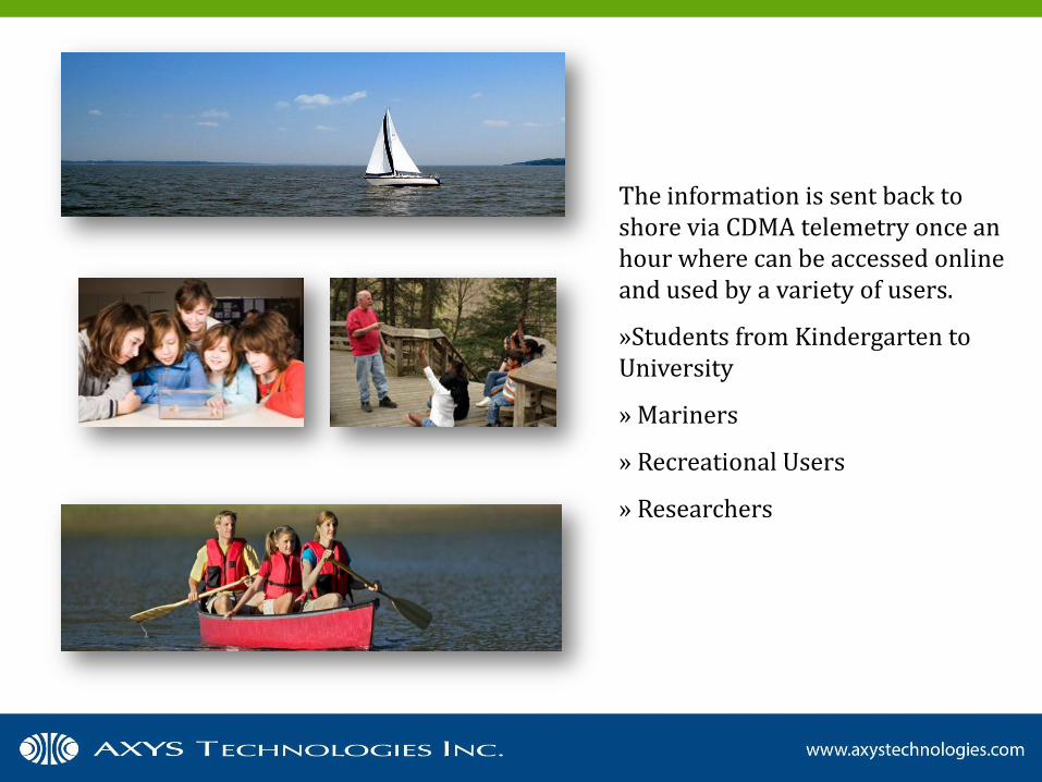
The information is sent back to shore via CDMA telemetry once an hour where can be accessed online and used by a variety of users.
»Students from Kindergarten to University
» Mariners
» Recreational Users
» Researchers
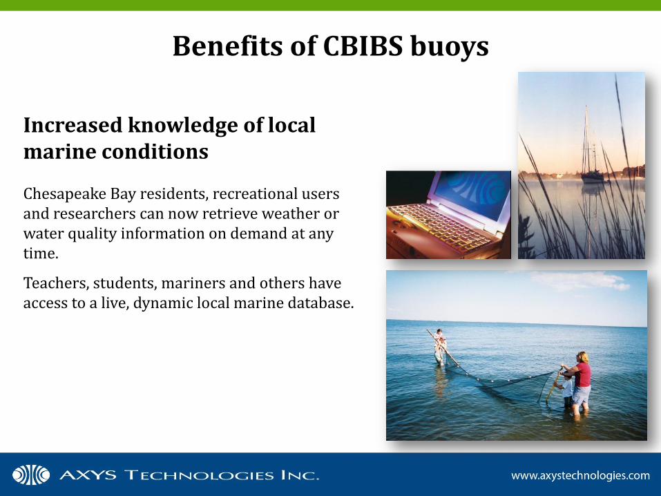
Benefits of CBIBS buoys
Increased knowledge of local marine conditions
Chesapeake Bay residents, recreational users and researchers can now retrieve weather or water quality information on demand at any time.
Teachers, students, mariners and others have access to a live, dynamic local marine database.
Benefits of CBIBS buoys
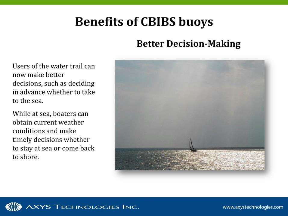
Users of the water trail can now make better decisions, such as deciding in advance whether to take to the sea.
While at sea, boaters can obtain current weather conditions and make timely decisions whether to stay at sea or come back to shore.
Better Decision-Making
Benefits of CBIBS buoys
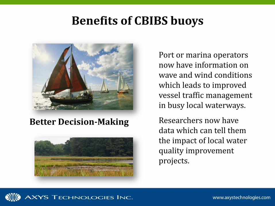
Better Decision-Making
Port or marina operators now have information on wave and wind conditions which leads to improved vessel traffic management in busy local waterways.
Researchers now have data which can tell them the impact of local water quality improvement projects.
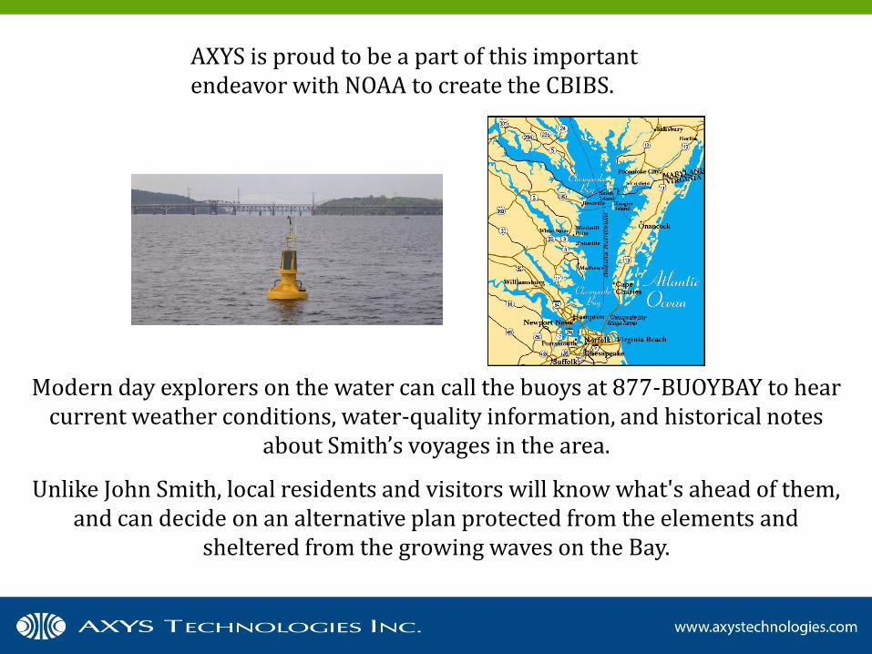
Modern day explorers on the water can call the buoys at 877-BUOYBAY to hear current weather conditions, water-quality information, and historical notes
about Smith’s voyages in the area.
Unlike John Smith, local residents and visitors will know what's ahead of them, and can decide on an alternative plan protected from the elements and
sheltered from the growing waves on the Bay.
AXYS is proud to be a part of this important endeavor with NOAA to create the CBIBS.

NOAA is a leading provider of value-added marine information and education within the local community
AXYS is an expert in the design, manufacturing and maintenance of remote environmental data acquisition,
processing and telemetry systems.
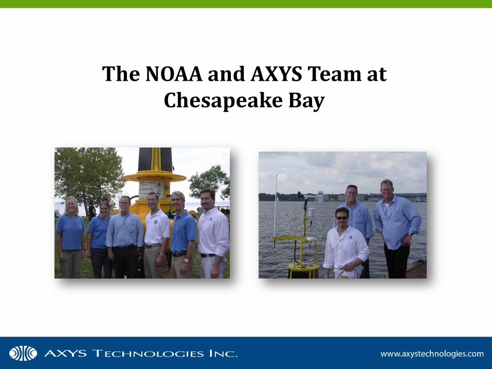
The NOAA and AXYS Team at Chesapeake Bay
For More Information
Marine Systems, AXYS Technologies Inc.
Phone: +1 (250) 655-5850 E-mail: [email protected] www.axystechnologies.com