analysis of vehicle tracking maps in iwate prefecture ... · telematics data and vehicle-tracking...
TRANSCRIPT

Analysis of Vehicle Tracking Maps in IwatePrefecture Following the 2011 Tohoku Earthquake
Noriaki Endo, Member, IAENG, and Hayato Komori
Abstract—We calculated the usable distance of the mainroads in the coastal area of Iwate prefecture following the2011 Tohoku Earthquake. Calculations were based on a vehicletracking map built from G-BOOK telematics data using QGIS,an open source geographic information system. The mainfindings are as follows.
(1) The change in the accumulative usable road distance ratioduring the research period differed by city.
(2) The ratio increases in the usable distance of Kuji,Iwaizumi, and Noda were extremely delayed.
We could determine related roads by analyzing the mapsgenerated by QGIS software. For Kuji and Iwaizumi, delayswere mostly dependent on Iwate Prefectural Road number 7(Kuji-Iwaizumi line). For Noda, the delay was mostly dependenton Iwate Prefectural Road number 273 (Akka-Tamagawa line).
(3) In our previous study, we determined that the use of themain road in the southern coastal area of Iwate prefecture wascompletely recovered by April 29, 2011.
However, in this study, when we precisely observed thechange in the usable road distance ratio during the researchperiod for each city, the ratio increase in the usable distanceof Kamaishi was delayed compared to other southern coastalcities.
Index Terms—2011 Tohoku Earthquake; G-BOOK telematicsdata; Iwate prefecture; big data
I. INTRODUCTION
A. The 2011 Tohoku Earthquake
When the March 11, 2011 Tohoku Earthquake[Fig. 1]struck, the northeastern coast of Japan was severely affectedby the subsequent tsunami.
Following the earthquake, electricity, water, and gas sup-plies were shut down in both coastal and inland areas. Inaddition, road travel was shut down in many locations in theregion.
B. Previous study
Our previous study [1] focused on the use of the mainroads in the southern coastal area of Iwate prefecture [Fig.2].The usable distances of the main roads following the 2011Tohoku Earthquake were calculated from G-BOOK telemat-ics data [2].
The main findings were as follows.1) The usable distance of the roads in a weekly period
increased continuously from March 18 to April 7, 2011, butfluctuated thereafter.
2) Defining the accumulative usable distance up toSeptember 30, 2011 as 100%, it was determined that 80%of the road distance was usable by April 7, 2011 and 90%by April 29, 2011.
3) Use of the main road in the coastal area of Iwateprefecture was completely recovered by April 29, 2011.
N. Endo and H. Komori are with Iwate University, Morioka City, Iwate,Japan e-mail: (see http://www.hss.iwate-u.ac.jp/endo/).
II. TELEMATICS DATA AND VEHICLE-TRACKING MAP
Telematics is a general term encompassing telecommu-nications and informatics. A telematics service providesvarious personalized information for users, especially fordrivers of automobiles. G-BOOK is a telematics serviceprovided by Toyota Motor Corporation.
To calculate the usable distance of the main roads, weapplied the vehicle tracking map originally created by Hadaet al. [3] after the 2007 Niigataken Chuetsu-oki earthquake.
That vehicle tracking map was based on telematics dataprovided by Honda Motor Company. Similarly, in our study,we used the vehicle tracking map based on telematics dataprovided by Toyota ’s G-BOOK system [Figs. 3 and 4].
Registered members of G-BOOK can access telematicsservices to acquire GPS data for car navigation systemsand interactive driving data, such as traffic jam points, roadclosures, and weather reports.
Such comprehensive data acquisition is possible becausethe telematics system server receives accurate location data(geographic coordinates) from its registered members.
Telematics services are extremely useful to drivers. Be-cause the accurate driving routes of registered users remainin the system server, they are accessible to traffic researchersin various fields.
III. RESEARCH METHODS
A. Research area
Our previous research [1] focused on only the southerncoastal area of Iwate prefecture [Fig. 4].
The current study has focused on the entire coastal area ofIwate prefecture (i.e., both the southern and northern coastalareas).
B. Research materials
This study used the vehicle tracking map built from G-BOOK telematics data, which, in the aftermath of the 2011Tohoku Earthquake, was made available on the Internet onMarch 17, 2011 [2].
The data used in this study were collected between March3 and September 30, 2011 (approximately six months afterthe 2011 Tohoku Earthquake).
C. System
Hardware:Calculations were performed on a standard laptop PC with
a Core i5-4200U CPU (1.6 GHz) and 4 GB memory (SONYVAIO PRO 11).
Software:The software used in this study was QGIS version 2.6.1
(the latest version at the time) [5] and LibreOffice Calc 4.2.7
Proceedings of the International MultiConference of Engineers and Computer Scientists 2015 Vol I, IMECS 2015, March 18 - 20, 2015, Hong Kong
ISBN: 978-988-19253-2-9 ISSN: 2078-0958 (Print); ISSN: 2078-0966 (Online)
IMECS 2015

spreadsheet software (the most stable version at the time) [6]running on the Windows 7 Professional operating system.QGIS is one of the most popular geographic informationsystems in the world.
Prior to using the above applications, we used the ogr2ogrsoftware [7] on the Linux operating system for geographicaldata processing. We used Vine Linux 4.2 [8], which is aLinux distribution developed by a Japanese Linux commu-nity.
Note that QGIS, LibreOffice Calc, ogr2ogr, and VineLinux are open source software distributed freely on theInternet. Anyone can utilize them for their research orbusiness.
D. Data Processing
1) The vehicle tracking maps constructed from G-BOOKtelematics data were provided in Google map KMZ format.We first converted the KMZ files to SHP files (i.e., shape-files), which are compatible with ArcGIS, using the ogr2ogrsoftware.
2) Next, the data coordinates were converted from ter-restrial latitude and longitude to x and y coordinates in arectangular coordinate system.
3) To reduce computation time, the data file was clippedto small files containing only the research area.
4) After merging daily data into weekly data and removingduplicate data, we were able to calculate the exact usableroad distance available for a given week.
The purpose of converting the daily data to weekly datawas to smooth daily fluctuations in traffic flows.
5) We then calculated the proportion of accumulativedistance up to the specified date. Note that the accumulativedistance up to September 30, 2011 was considered 100%.
IV. RESULTS
We calculated the usable distance of the main roads in thecoastal area of Iwate prefecture following the 2011 TohokuEarthquake.
Calculations were based on a vehicle tracking map builtfrom G-BOOK telematics data utilizing open source soft-ware, i.e., Linux, ogr2og2, QGIS, and LibreOffice Calc.
We calculated the accumulative usable road distance ratioof the main roads for each city in the region [Fig. 5].
(1) The change in accumulative usable road distance ratioduring the research period differed by city.
(2) The ratio increases in the usable distance of Kuji,Iwaizumi, and Noda were extremely delayed.
We could determine related roads by analyzing the mapsgenerated by QGIS software.
For Kuji and Iwaizumi, delays were mostly dependent onIwate Prefectural Road number 7 (Kuji-Iwaizumi line).
For Noda, the delay was mostly dependent on IwatePrefectural Road number 273 (Akka-Tamagawa line).
(3) In our previous study [1], we defined the accumulativeusable distance up to September 30, 2011 as 100%. Note that80% of the distance was usable by April 7, 2011 and 90%by April 29, 2011. And we determined that the use of themain road in the southern coastal area of Iwate prefecturewas completely recovered by April 29, 2011.
However, in this study, when we precisely observed thechange in the usable road distance ratio during the researchperiod for each city, the ratio increase in the usable distanceof Kamaishi was delayed compared to other southern coastalcities.
For Kamaishi City, the delay was mostly dependent onIwate Prefectural Road number 249 (Sakuratoge-Heita line).
V. DISCUSSION
In this study, all application software used was open sourcesoftware. The performance of the software used was veryhigh and could satisfy all the required functions properly.
According to our results, we consider that the recoverycondition of the regional roads after the 2011 Tohoku Earth-quake differed by city.
To improve the resilience of regional roads, we shouldenhance roads whose utilization was more delayed comparedto other roads.
Alternatively, construction of bypass roads for such road-ways would significantly contribute to the resilience of theregion.
We believe that the recommended enhancements shouldbe realized before the next large disaster occurs.
ACKNOWLEDGEMENTS
We would like to thank all the people worldwide whoassisted the people of Japan following the 2011 TohokuEarthquake.
In addition, we would like to thank the people who createdand maintained the useful software and telematics archivesused in this study.
The authors would like to thank Enago for the Englishlanguage review.
REFERENCES
[1] Hayato Komori and Noriaki Endo: Road distance traveled by vehi-cles following the 2011 Tohoku Earthquake, calculated by G-BOOKtelematics data, Proceedings of the 9th International Conference onSignal-Image Technology & Internet-Based Systems, 9, 870-874, 2013.
[2] Vehicle Tracking Map Constructed by G-BOOK Telematics Data (InJapanese):http://g-book.com/pc/spot/Tohoku-Jishin.asp
[3] Yasunori Hada, Takeyasu Suzuki, Hiroki Shimora, Kimiro Meguro,Noriko Kodama: Issues and Future Prospect on Practical Use of ProbeVehicle Data for Disaster Reduction -Provision of the Vehicle TrackingMap in the 2007 Niigataken Chuetsu-oki Earthquake- (In Japanese),Journal of Japan Association for Earthquake Engineering, 9(2), 148-159, 2009.http://www.jaee.gr.jp/stack/submit-j/v09n02/090211 paper.pdf
[4] Vehicle Tracking Map Constructed by G-BOOK Telematics Datahttp://g-book.com/disasterMap/ALL/Tohoku-Jishin YYYYMMDD.kmz(For example, Tohoku-Jishin 20110318.kmz. The data files of trackingmap are still available on February 3, 2015.)
[5] Official website of QGIS, A Free and Open Source GeographicInformation Systemhttp://www.qgis.org/en/site/
[6] Official Website of the LibreOffice Projecthttp://www.libreoffice.org/
[7] Official website of GDAL: ogr2ogrhttp://www.gdal.org/ogr2ogr.html
[8] Official website of Vine Linux (In Japanese)http://www.vinelinux.org/
Proceedings of the International MultiConference of Engineers and Computer Scientists 2015 Vol I, IMECS 2015, March 18 - 20, 2015, Hong Kong
ISBN: 978-988-19253-2-9 ISSN: 2078-0958 (Print); ISSN: 2078-0966 (Online)
IMECS 2015
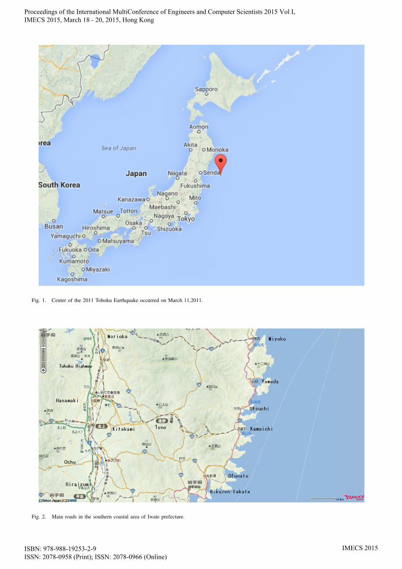
Fig. 1. Center of the 2011 Tohoku Earthquake occurred on March 11,2011.
Fig. 2. Main roads in the southern coastal area of Iwate prefecture.
Proceedings of the International MultiConference of Engineers and Computer Scientists 2015 Vol I, IMECS 2015, March 18 - 20, 2015, Hong Kong
ISBN: 978-988-19253-2-9 ISSN: 2078-0958 (Print); ISSN: 2078-0966 (Online)
IMECS 2015
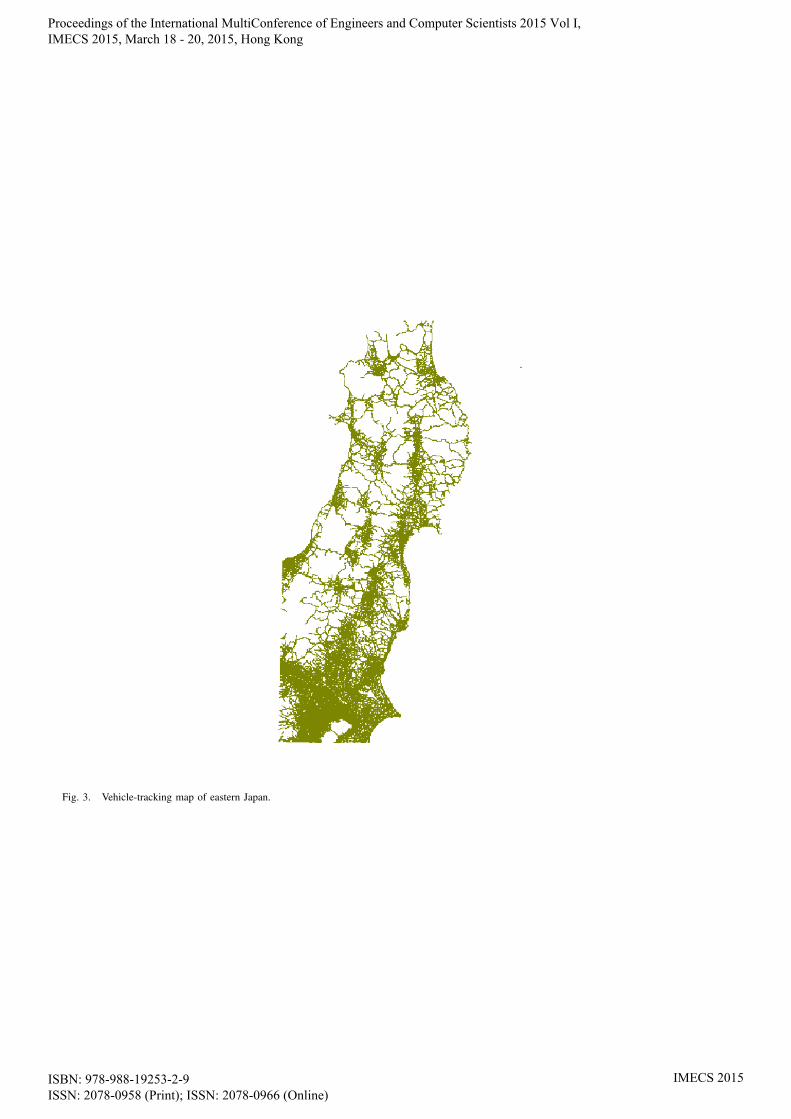
Fig. 3. Vehicle-tracking map of eastern Japan.
Proceedings of the International MultiConference of Engineers and Computer Scientists 2015 Vol I, IMECS 2015, March 18 - 20, 2015, Hong Kong
ISBN: 978-988-19253-2-9 ISSN: 2078-0958 (Print); ISSN: 2078-0966 (Online)
IMECS 2015

Fig. 4. Vehicle-tracking map of Iwate prefecture, shown by violet lines. The perimeter of a city is shown by a gray polygon.
Fig. 5. Accumulative usable road distance ratio. Vertical scale displays the accumulative distance proportion of usable roads (relative to accumulativedistance on September 30, 2011) for each date.
Proceedings of the International MultiConference of Engineers and Computer Scientists 2015 Vol I, IMECS 2015, March 18 - 20, 2015, Hong Kong
ISBN: 978-988-19253-2-9 ISSN: 2078-0958 (Print); ISSN: 2078-0966 (Online)
IMECS 2015