allen’s landing houston, tx site analysis. topographic analysis
TRANSCRIPT

Allen’s LandingHouston, TX
Site Analysis

Topographic Analysis
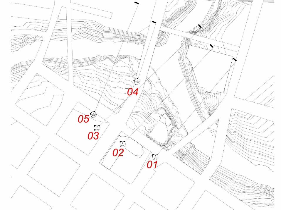
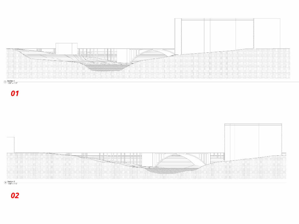
01
02
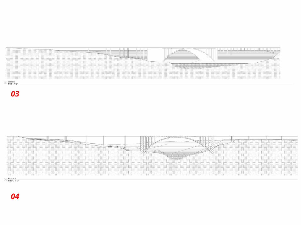
03
04
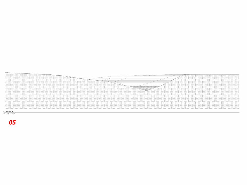
05

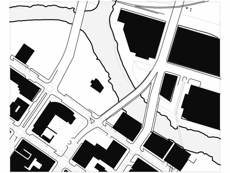
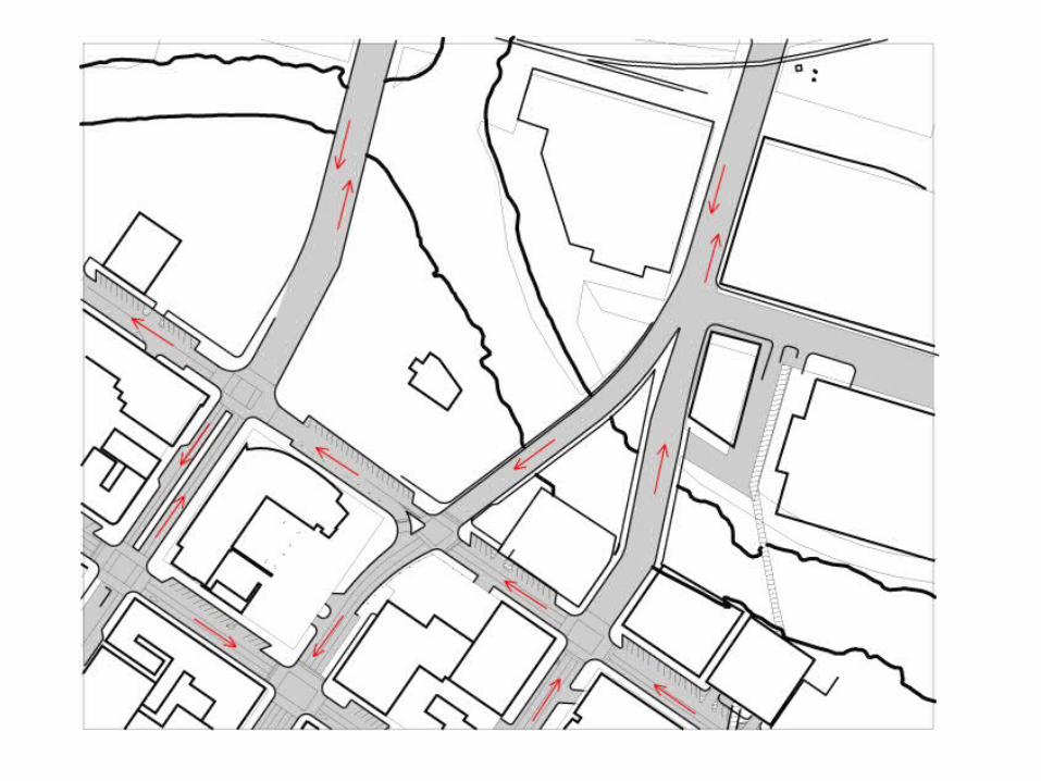
Existing roadways / infastructure
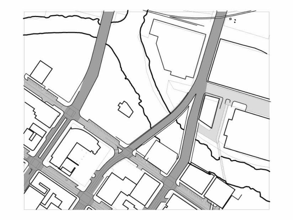

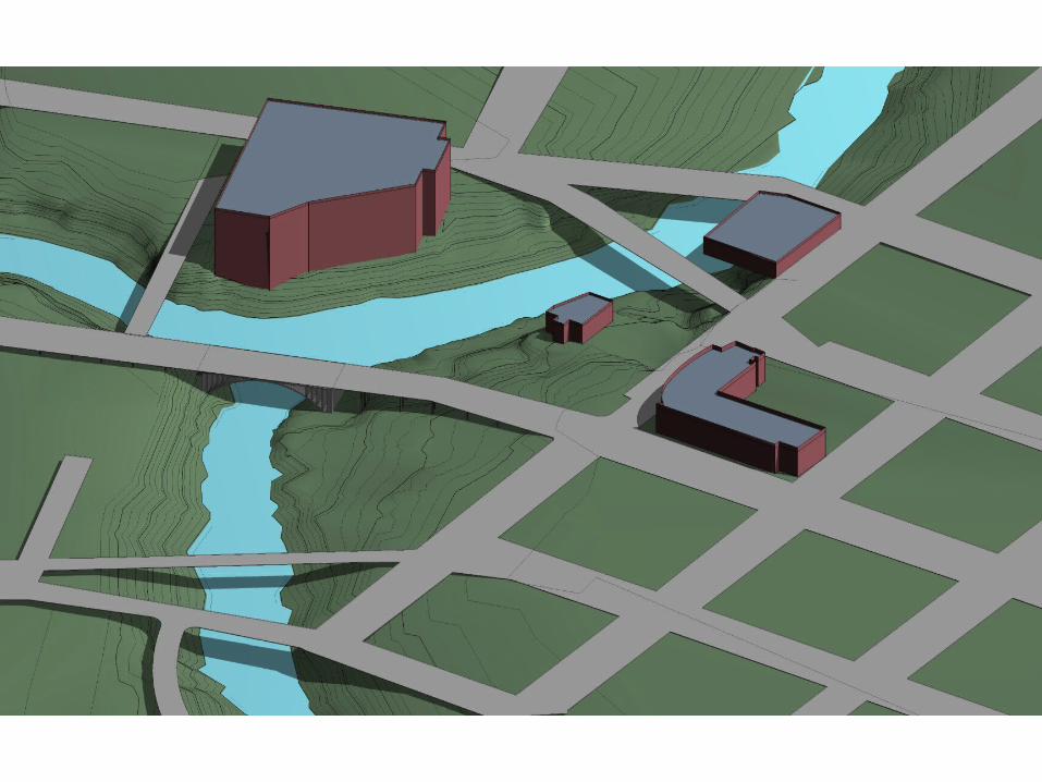
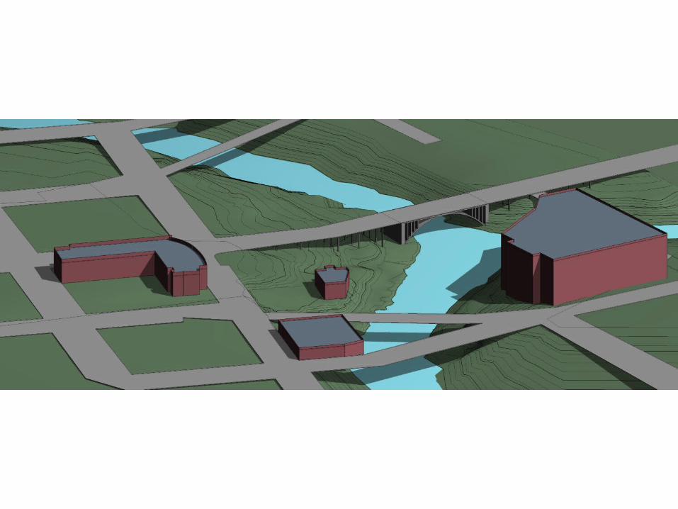
Existing Buildings

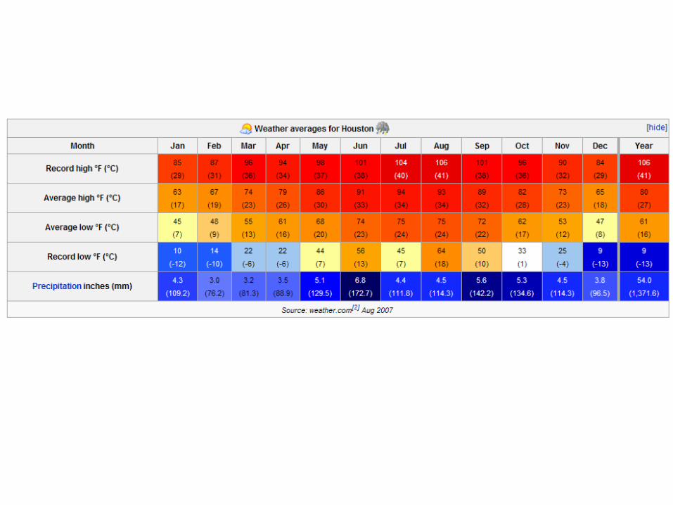
Climate Issues
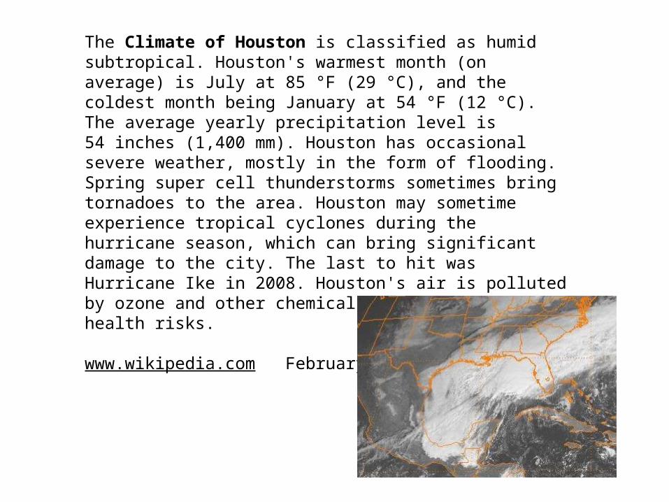
The Climate of Houston is classified as humid subtropical. Houston's warmest month (on average) is July at 85 °F (29 °C), and the coldest month being January at 54 °F (12 °C). The average yearly precipitation level is 54 inches (1,400 mm). Houston has occasional severe weather, mostly in the form of flooding. Spring super cell thunderstorms sometimes bring tornadoes to the area. Houston may sometime experience tropical cyclones during the hurricane season, which can bring significant damage to the city. The last to hit was Hurricane Ike in 2008. Houston's air is polluted by ozone and other chemicals that pose definite health risks.
www.wikipedia.com February 3, 2009
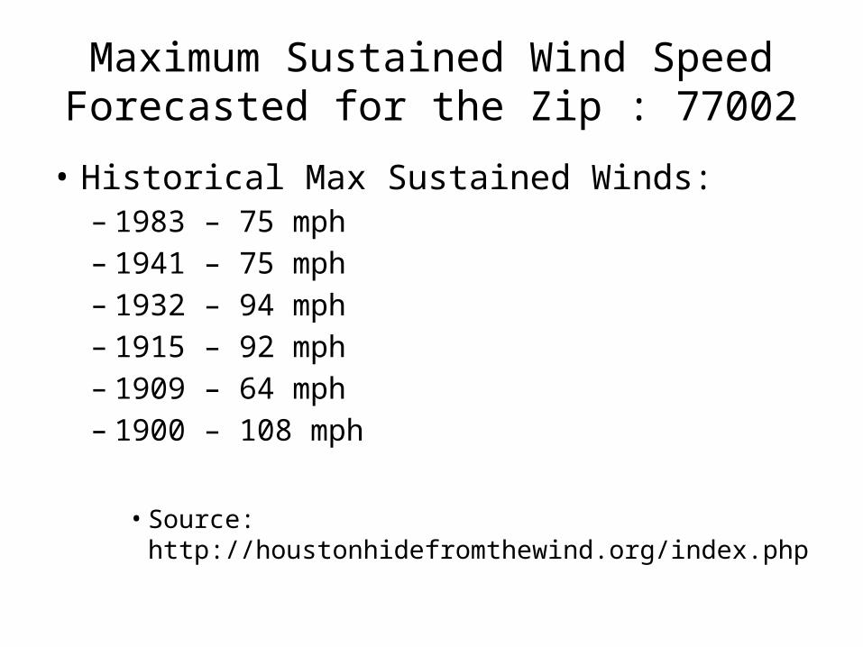
Maximum Sustained Wind Speed Forecasted for the Zip : 77002
• Historical Max Sustained Winds:– 1983 – 75 mph– 1941 – 75 mph– 1932 – 94 mph– 1915 – 92 mph– 1909 – 64 mph– 1900 – 108 mph
• Source: http://houstonhidefromthewind.org/index.php
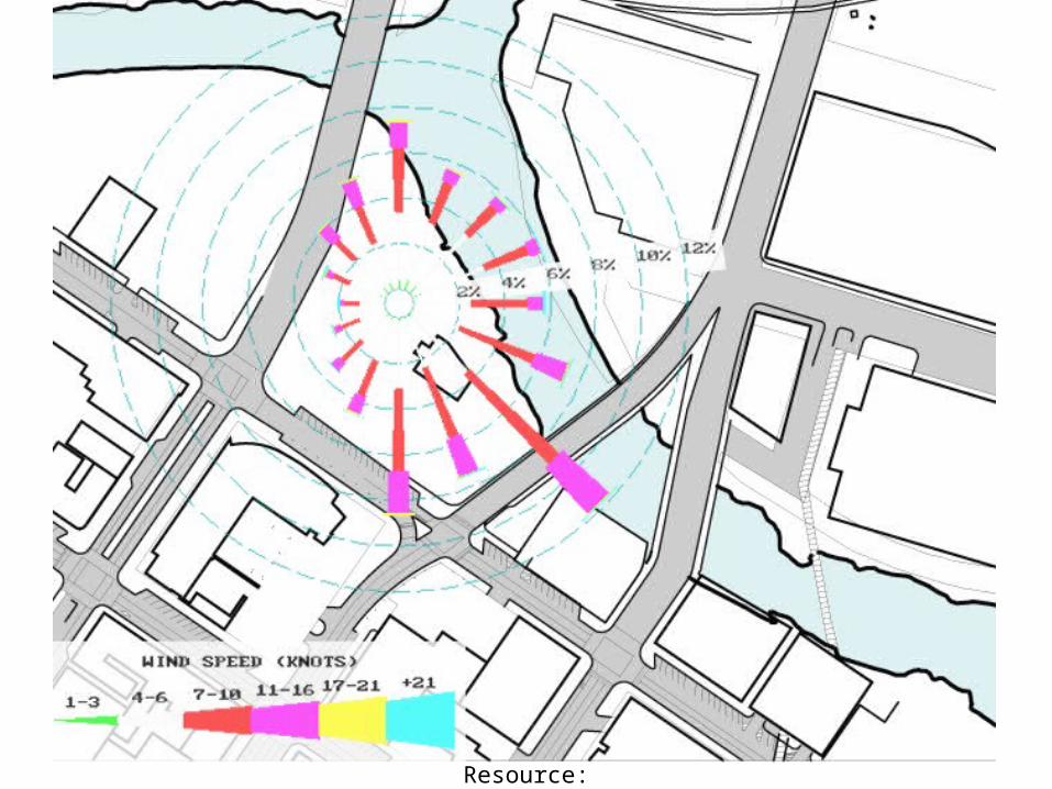
Resource: http://www.tceq.state.tx.us/assets/public/compliance/monops/air/windroses/iahall.gif

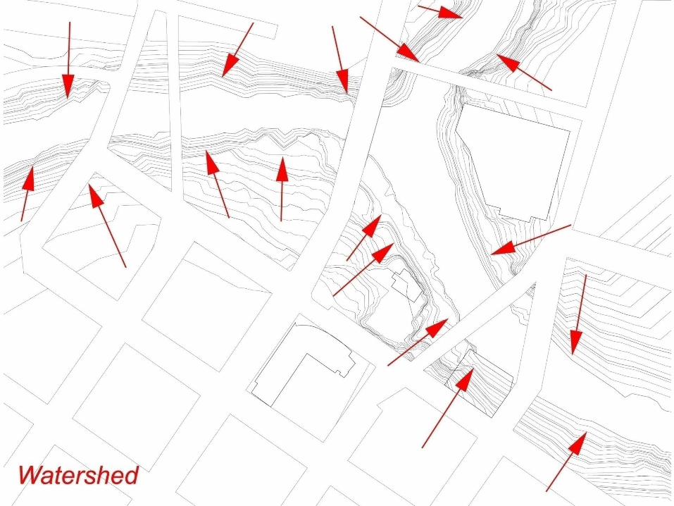
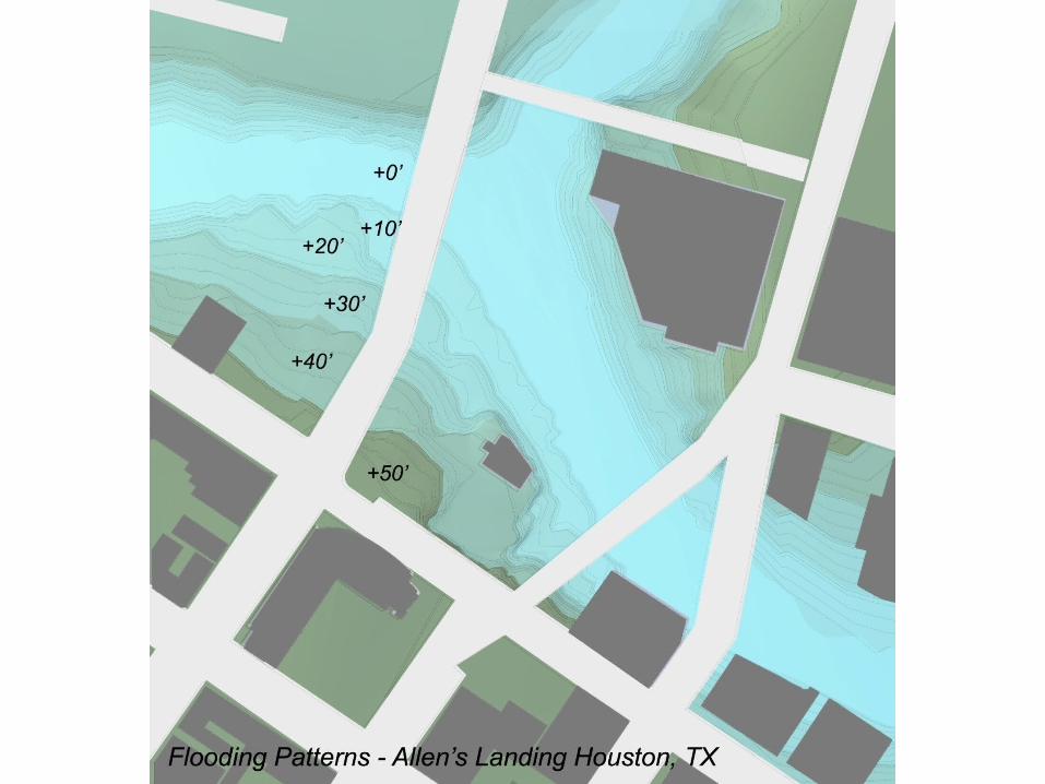
Flooding Patterns

Traffic Patterns

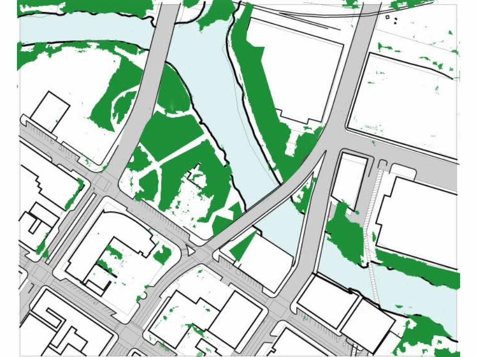
Vegetation

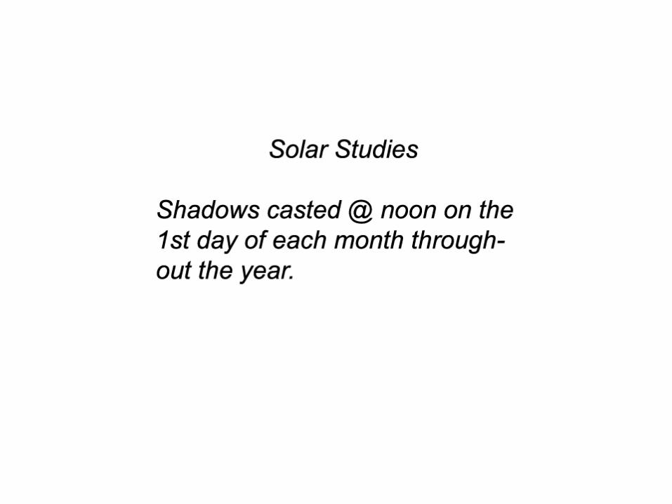
Solar Studies
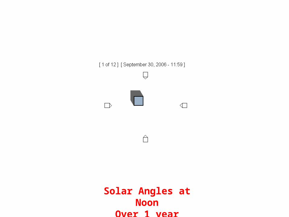
Solar Angles at NoonOver 1 year
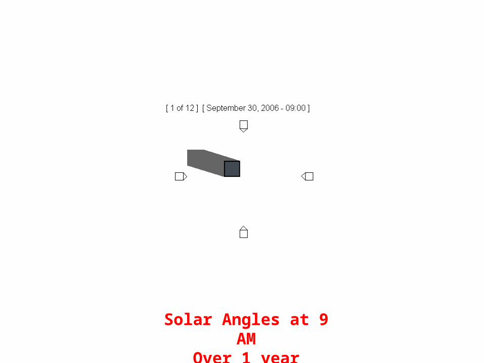
Solar Angles at 9 AMOver 1 year
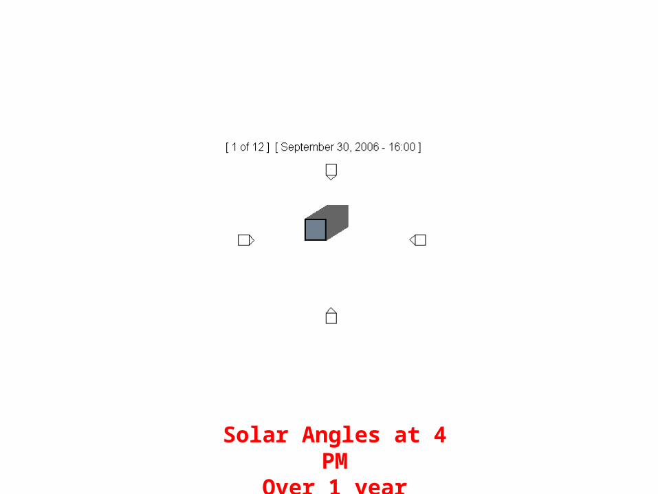
Solar Angles at 4 PMOver 1 year
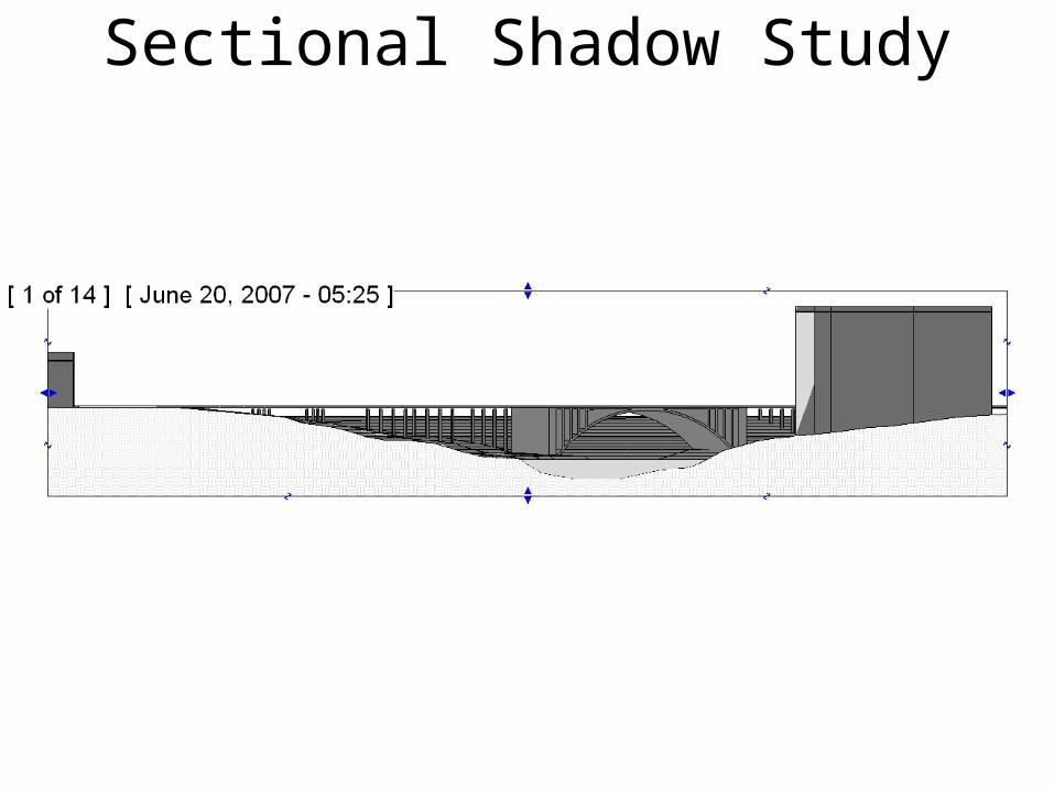
Sectional Shadow Study

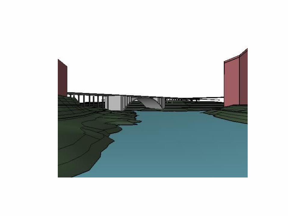
Bridge Shadow Study