10.1 physical geography of pacific south america
TRANSCRIPT
10.1 Physical Geography of 10.1 Physical Geography of Pacific South AmericaPacific South America
Physical FeaturesPhysical Features
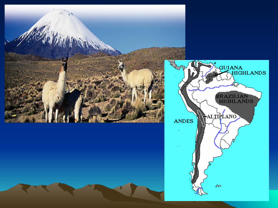
Four countries make up this region: Ecuador, Peru, Chile, and Bolivia.
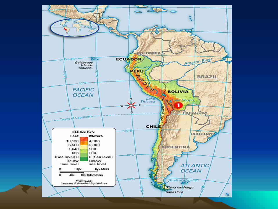
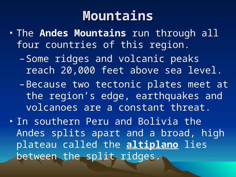
MountainsMountains• The Andes Mountains run through all four
countries of this region.
– Some ridges and volcanic peaks reach 20,000 feet above sea level.
– Because two tectonic plates meet at the region’s edge, earthquakes and volcanoes are a constant threat.
• In southern Peru and Bolivia the Andes splits apart and a broad, high plateau called the altiplano lies between the split ridges.
Water and IslandsWater and Islands
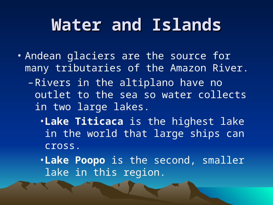
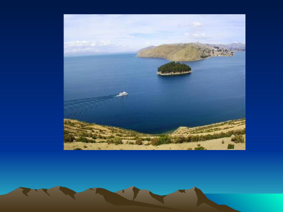
• Andean glaciers are the source for many tributaries of the Amazon River.– Rivers in the altiplano have no outlet to
the sea so water collects in two large lakes.• Lake Titicaca is the highest lake in the
world that large ships can cross.• Lake Poopo is the second, smaller
lake in this region.

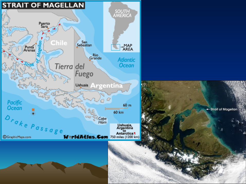
• At the southern tip of the continent, the Strait of Magellan links the Atlantic and Pacific Oceans.
– A strait is a narrow body of water connecting two larger bodies of water.
• The large island south of the strait is Tierra del Fuego, or “land of fire.”
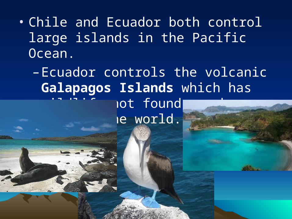
• Chile and Ecuador both control large islands in the Pacific Ocean.
– Ecuador controls the volcanic Galapagos Islands which has wildlife not found anywhere else in the world.
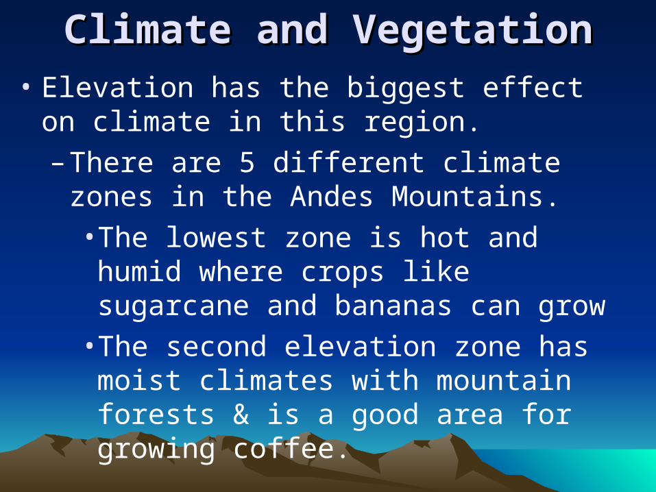
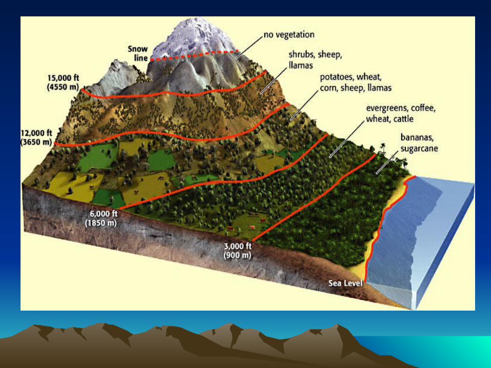
Climate and VegetationClimate and Vegetation• Elevation has the biggest effect on climate in
this region.
– There are 5 different climate zones in the Andes Mountains.
• The lowest zone is hot and humid where crops like sugarcane and bananas can grow
• The second elevation zone has moist climates with mountain forests & is a good area for growing coffee.
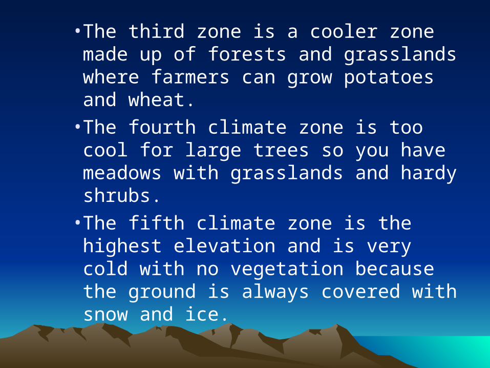
• The third zone is a cooler zone made up of forests and grasslands where farmers can grow potatoes and wheat.
• The fourth climate zone is too cool for large trees so you have meadows with grasslands and hardy shrubs.
• The fifth climate zone is the highest elevation and is very cold with no vegetation because the ground is always covered with snow and ice.
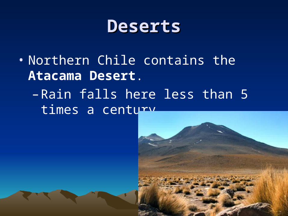
DesertsDeserts
• Northern Chile contains the Atacama Desert.
– Rain falls here less than 5 times a century.
El NiñoEl Niño• About every two to seven years, this dry region
experiences El Niño (an ocean and weather pattern that affects the Pacific coast).– During an El Niño year, cool Pacific water
near the coast warms. – This change may cause extreme ocean and
weather events that can have global effects.• Heavy rains = flooding• Fish leave fishing areas = no fish for
fishermen
Natural ResourcesNatural Resources
• There are many natural resources in this region:
– The forests provide lumber.
– The coastal waters of the Pacific Ocean are rich in fish.
– Oil is found throughout the region.
– There are also many minerals like gold, silver, lead, tin and copper.
• The one resource this region does not have is good farmland.
– People do farm but there isn’t enough land to grow crops for export.