1 / x spatial data infrastructure feedback on exercise data
TRANSCRIPT

1 / x
Spatial Data Infrastructure
Feedback on exercise data

1. Which SDIs did you choose?
USA (5 times) The Netherlands (5) Germany (3) Russia Canada (2) UK (2) New Zealand (3) Finland (2) Czech Rebublic Thailand India Singapore Norway
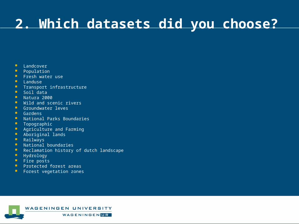
2. Which datasets did you choose?
Landcover Population Fresh water use Landuse Transport infrastructure Soil data Natura 2000 Wild and scenic rivers Groundwater leves Gardens National Parks Boundaries Topographic Agriculture and Farming Aboriginal lands Railways National boundaries Reclamation history of dutch landscape Hydrology Fire posts Protected forest areas Forest vegetation zones

3. Could you easily locate and obtain the datasets you needed?
Easy Netherlands Germany UK New Zealand (“Download service works like a shopping bag’”) Thailand
Difficult USA easy to find but difficult to locate download link, spread geoportals Russia very poor metadata, no data, only map service Canada difficult to locate downloadable data, too many unsorted results India probably still in development Finland only viewing data

5. Process of obtaining data and using in ArcGIS online Find geoportal (via Google) (sometimes log in needed) Search within SDI catalogue (keywords, geographic
extent, etc…. Review of the result via metadata Download (if possible)
Uploading to ArcGIS online Sometimes difficult due to ArcGIS online dataset size
restrictions Map services quiet easy to use

6. Which step was the most difficult?
Metadata miss the information about download
Getting the actual data (problems with download)
Language problems, local languages The choice of right search terms Downloading unknown data formats Website layout difficult Download link difficult to find

7. Propose the solution to the problems
Provide link to data early in the search process
Beter structure metadata Comparison of the metadata results Translate everything also to English Search parameter “downloadable data”
needed Semantic web

Most of the data possible to obtain !!

Is it possible to upload datasets?
Usually this option is restricted to governmental organizations only (to assure of data quality)

Summary
In most cases the data can be obtained The most difficult is to find location with link to
real data Often map services available and not real data Userfriendlyness of the geoportal important
Conclusion of the teachers: Large improvement in relation with previous
years

Standards

Standards
All Use ISO and OGC standards
Adding national standards (on Content)

Software Tools
Variety of Tools Store: Oracle, PostgresSQL, etc. Serve: Mapserver, GeoServer Desktop: ArcGIS, QGIS, etc.
Serve